Cruising the Eastern Arctic – Sunneshine Fjord

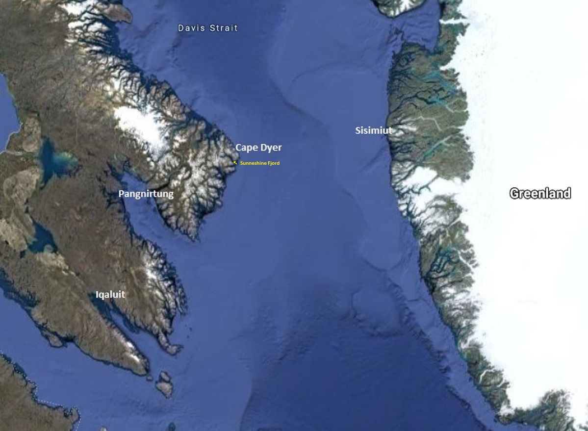
It was our fourth day in Nunavut cruising aboard the MV Sea Adventurer. After our initial visits to Iqaluit and Pangnirtung, we were now heading towards Cape Dyer, which in a few days would be roughly our departure point across the Davis Strait to Sisimiut, Greenland.
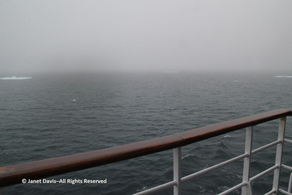
Fog blanketed the Arctic, which meant, for the captain, it was slow going.
In the lounge, Heidi Langille, who resides in Canada’s capital city Ottawa, gave an afternoon lecture on what it was like to be an “urban Inuit”.

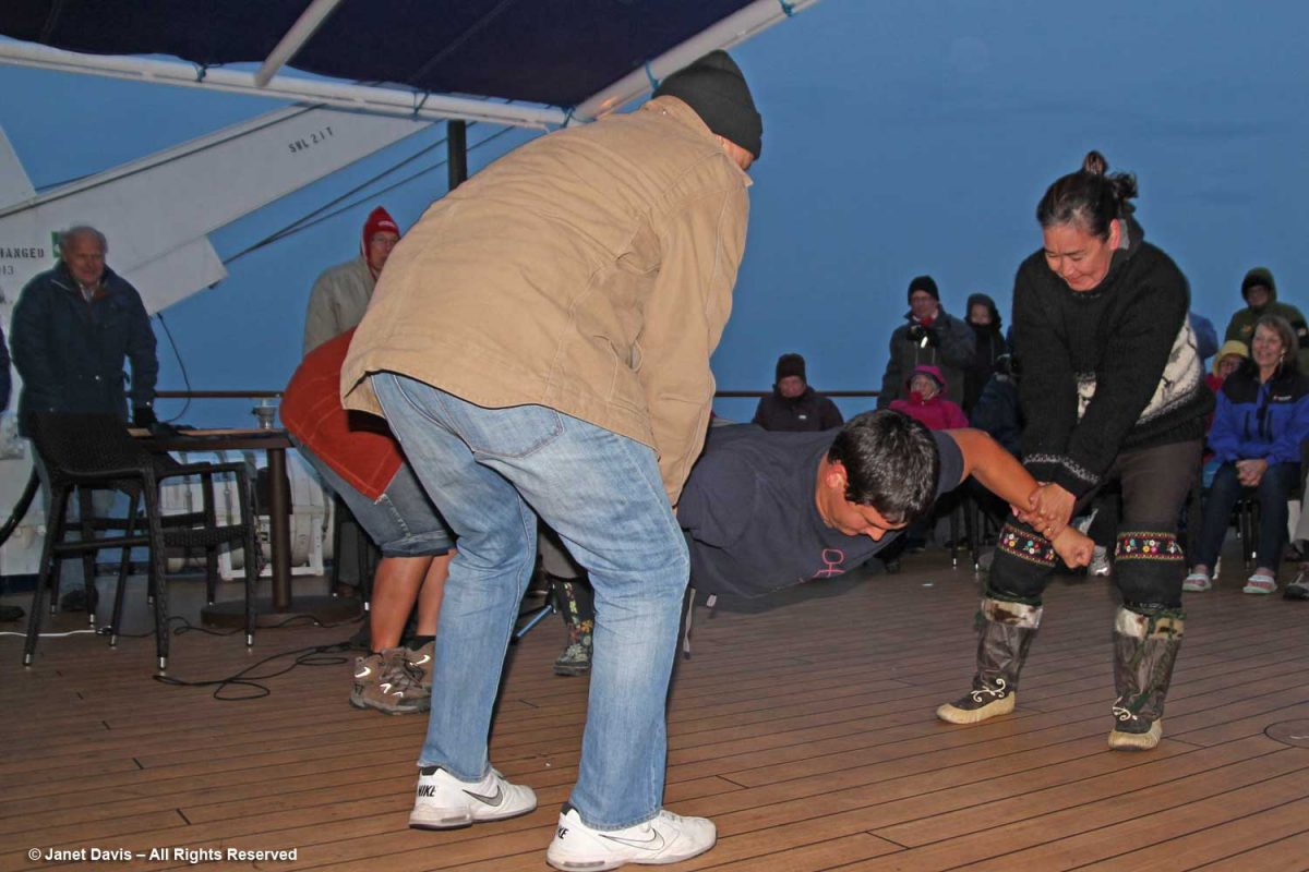
That evening after dinner, there was music on deck and Heidi and our other Inuit cultural emissaries demonstrated some traditional games of strength…..
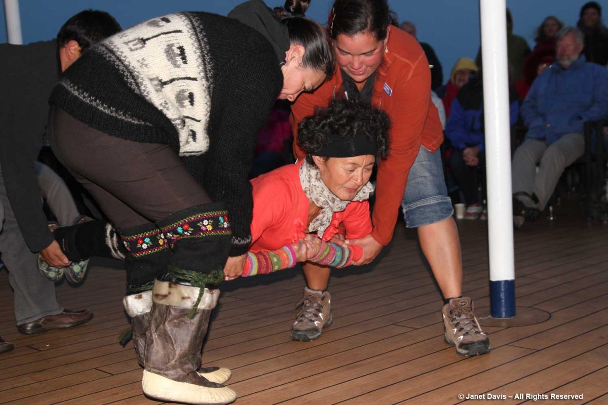
….. while we cheered them on.
The next morning, the sun was warm on the east coast of Baffin Island as we made our way up the appropriately-named Sunneshine Fjord –   also seen as Sunshine Fiord in some references….
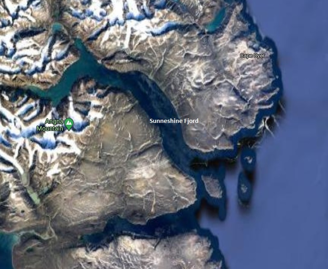
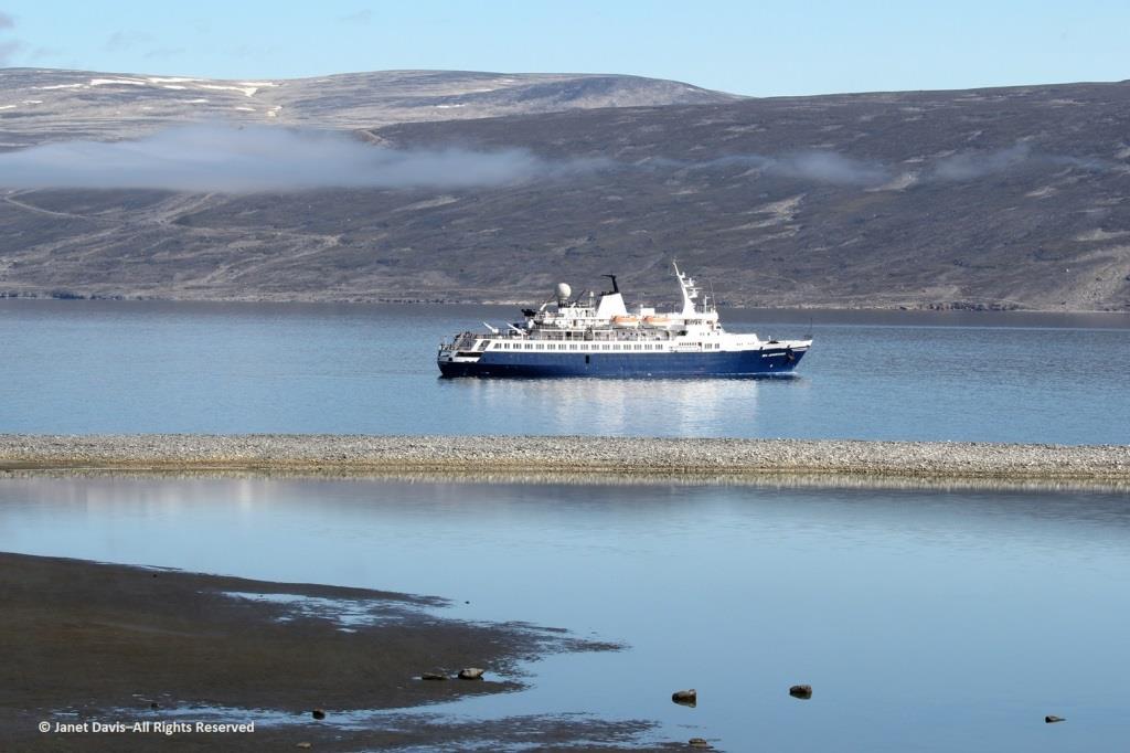
….and dropped anchor.   
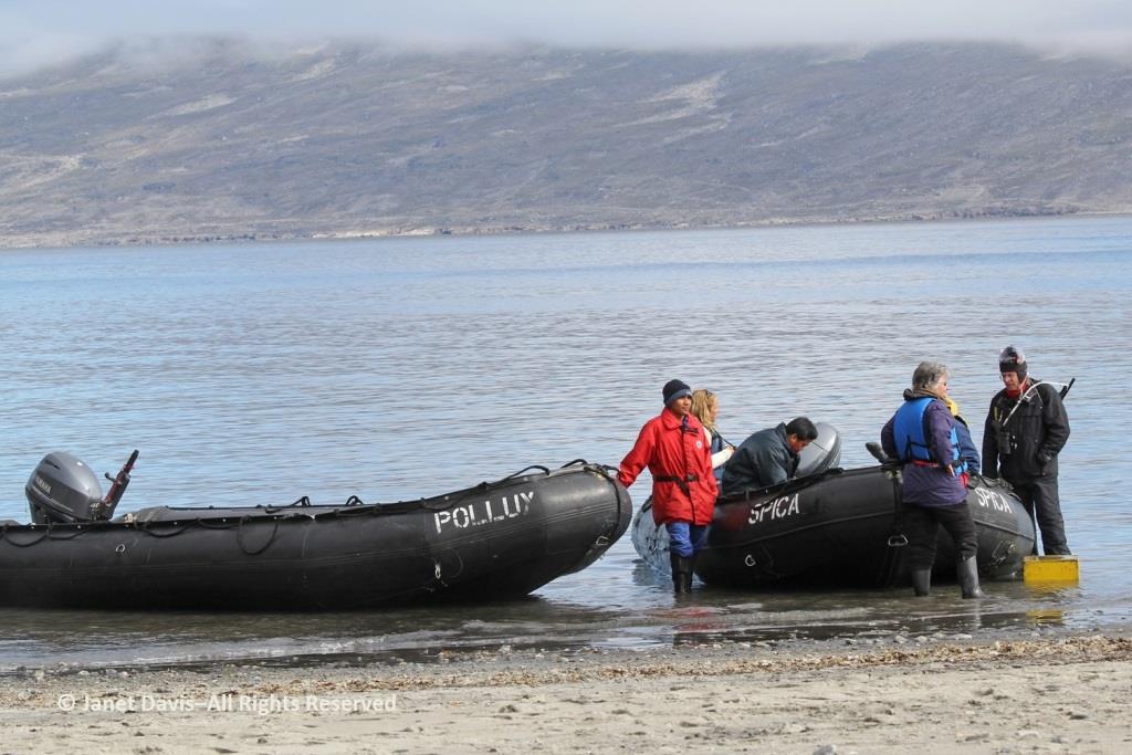
The zodiacs ferried us to a wet landing on shore. It’s interesting that, if you’re a resource staffer on an Adventure Canada expedition, you must also know how to captain a zodiac. That goes for (now retired) art and culture director Carol Heppenstall, standing in the blue life-vest to the left of (now retired) expedition leader Stefan Kindberg.
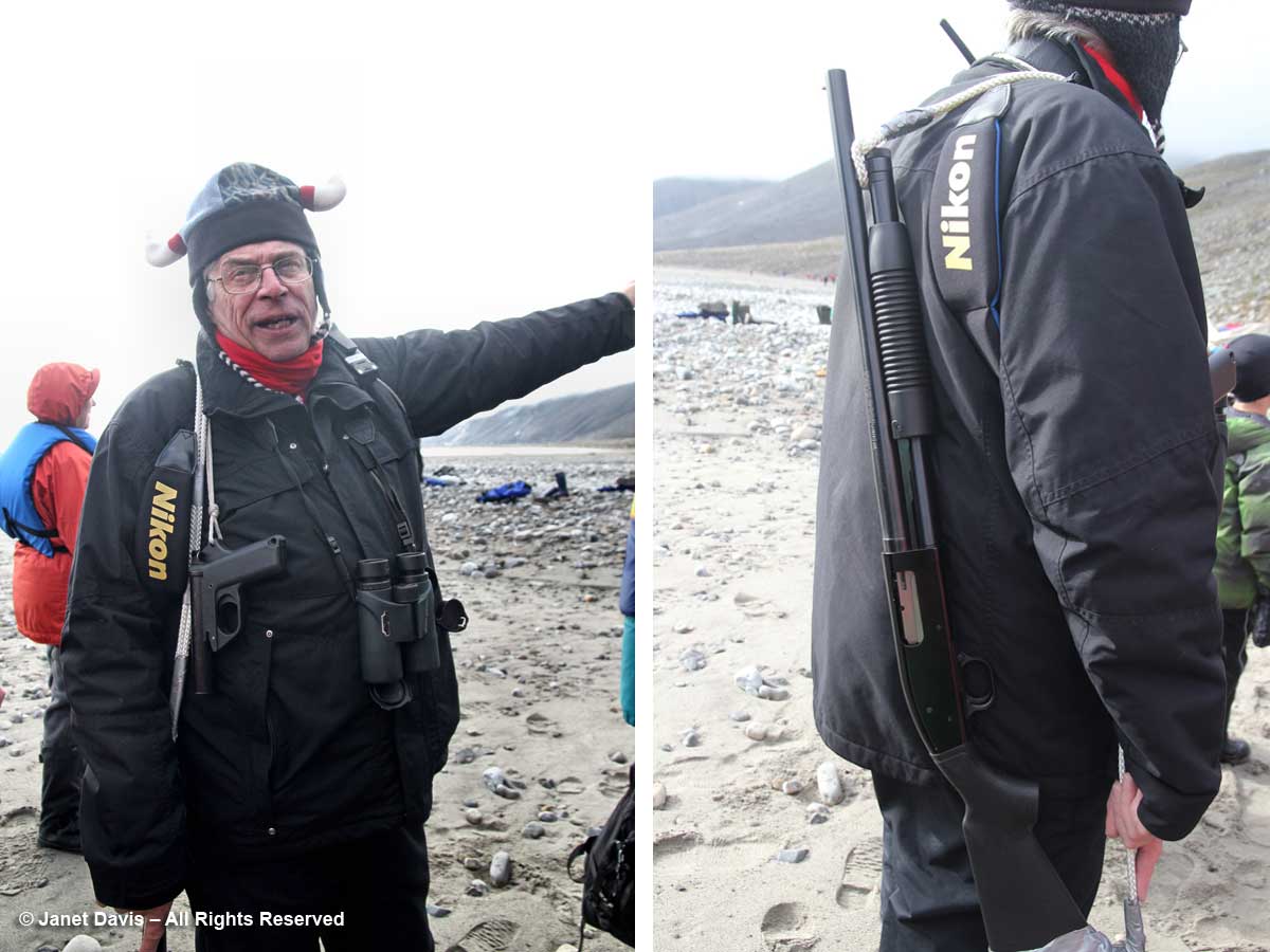
When you land on an unoccupied shoreline in Nunavut, there’s a good chance that even though there are no human occupants, there may well be polar bears. Thus, our expedition leader Stefan Kindberg carried both a handgun and rifle. Fortunately, he’s never had to use them, and commented dryly: “You don’t ever want to have to shoot a polar bear in Canada. Too much paperwork!”
We were invited to explore the landing area. We could stay on the beach, work our way around the lower slopes, or climb right to the top.
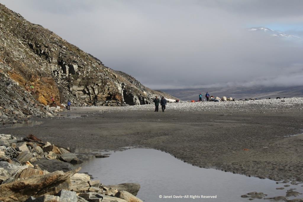
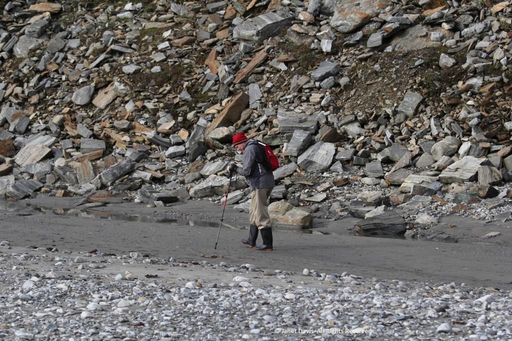
My husband Doug (below) elected to stick near the shore.  I was happy we’d purchased new walking poles….
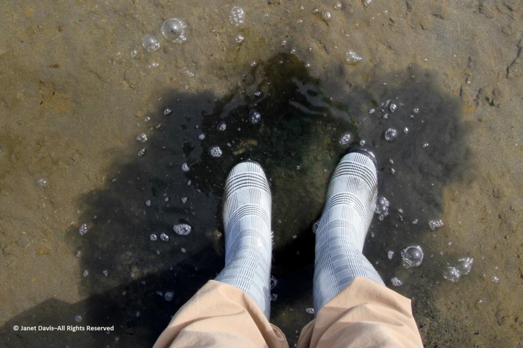
….and, again, I was delighted with my new rubber boots. Wearing them, I was able to shake up a lot of green algae in the shallow water of this intertidal zone.
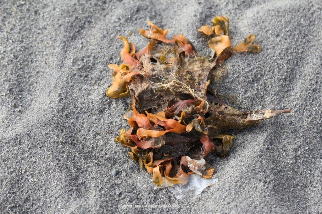
I loved looking at the seaweed.  So many different species….
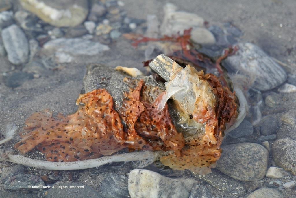
….. each with its own ecological community….
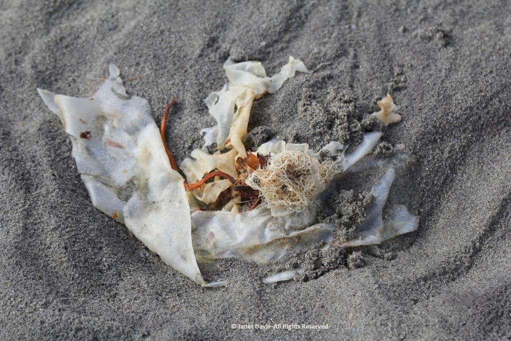
….. and adapted to the seasonal mix of salt and fresh glacial meltwater in the fjord.
Some of our group elected to climb to the summit, but I was most anxious to botanize on the lower slope.
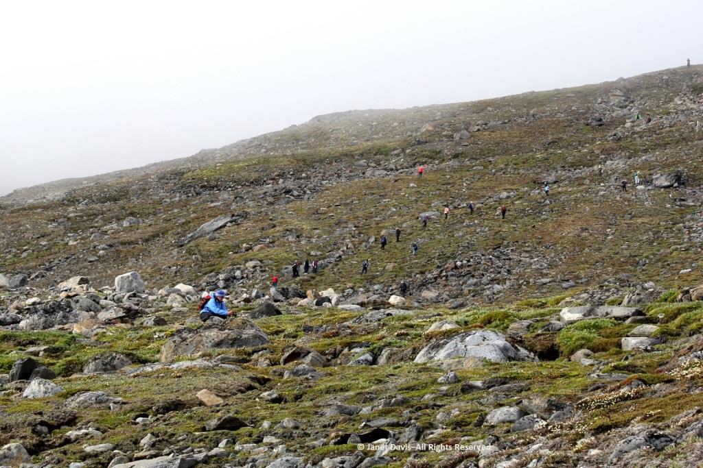
This part of Sunneshine Fjord was a perfect place to be. The moraines were gently sloped, the sandy beach quite wide, the fjord deep enough for our ship, and these slopes – so monotonously featureless and olive-brown as the ship sails past them – were absolutely brimming with plant life.
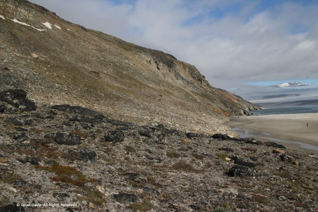
Unless you get closer, you might not guess that those lighter areas on this hillside….
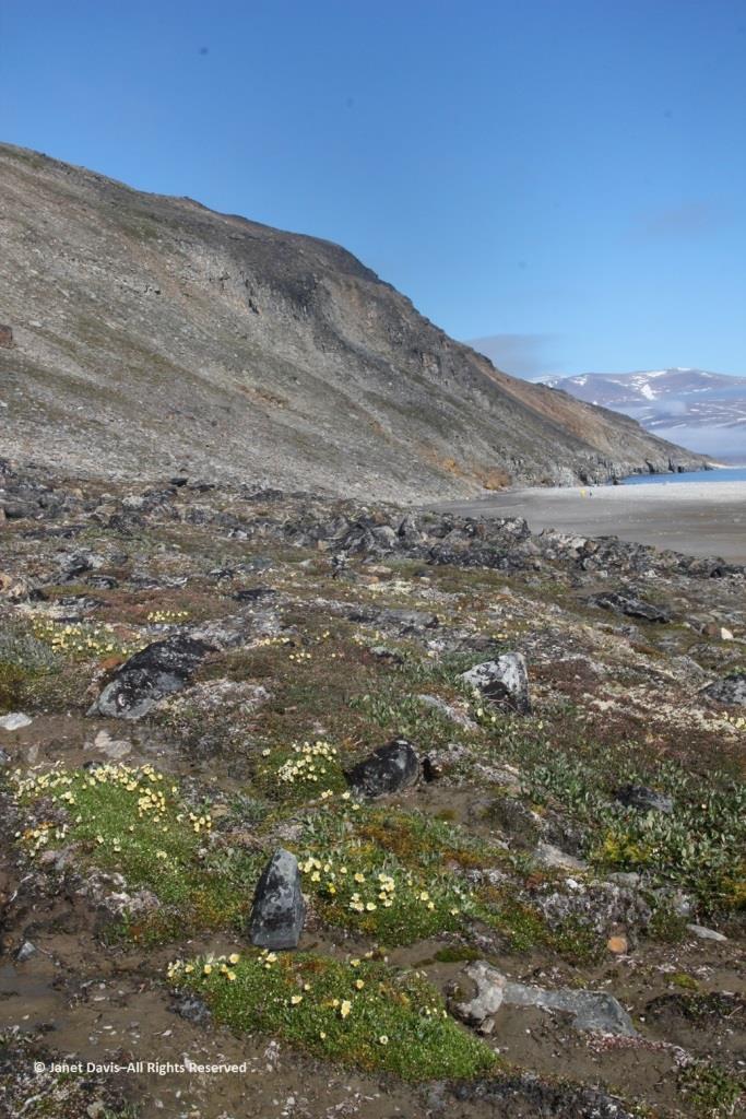
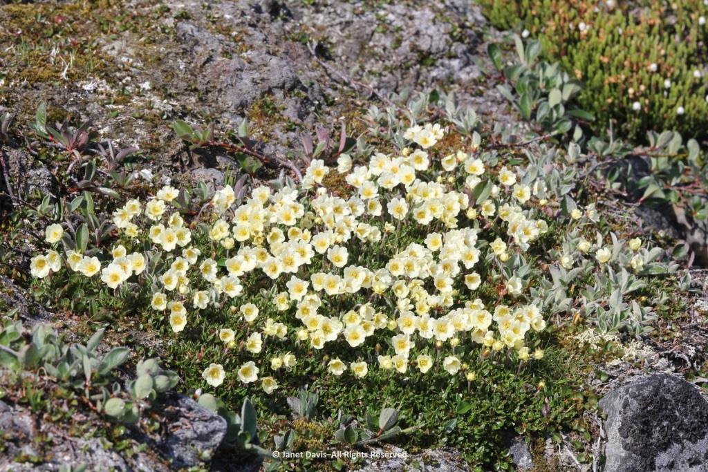
…… are colonies of mountain avens (Dryas integrifolia) wreathed in creeping willow shrubs.
Or that these paler drifts….
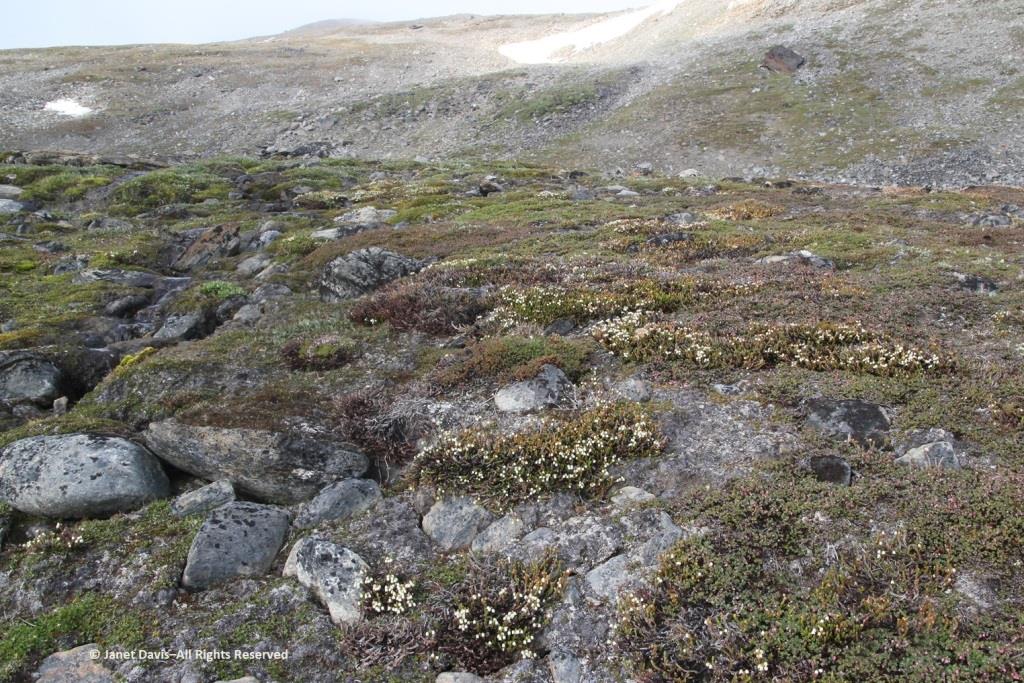
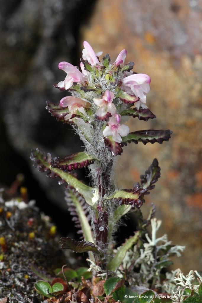
…… are Arctic heather (Cassiope tetragona), sometimes punctuated with hairy lousewort (Pedicularis hirsuta).
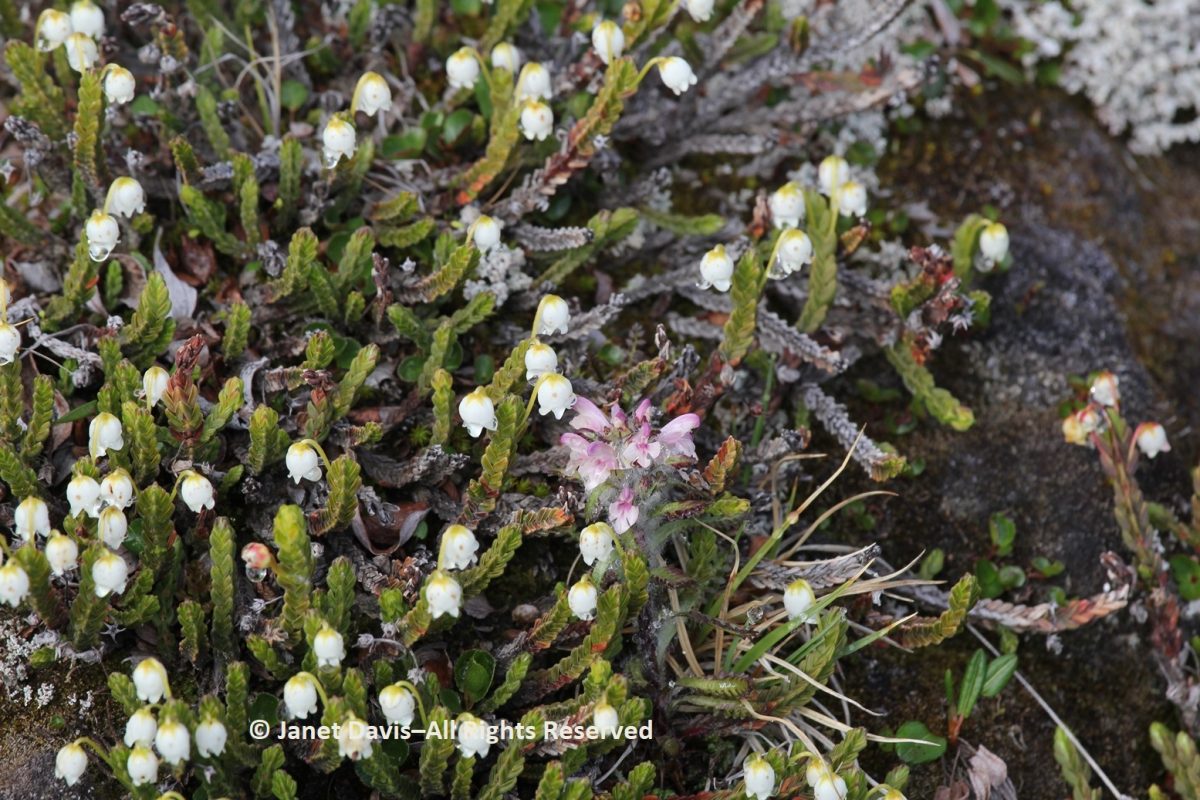
Here’s a closer look at hairy lousewort to illustrate the trait that earned its name.
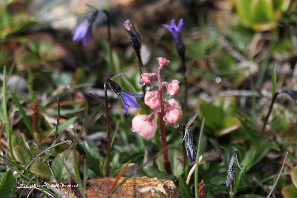
Morning dew was still on this pair of natives: Arctic harebell (Campanula uniflora) with large-flowered wintergreen (Pyrola grandiflora).
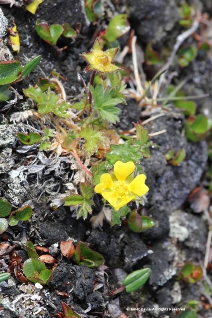
Arctic cinquefoil (Potentilla hyparctica) is a circumpolar species, also native to Alaska, the Yukon and Norway’s Svalbard archipelago. 
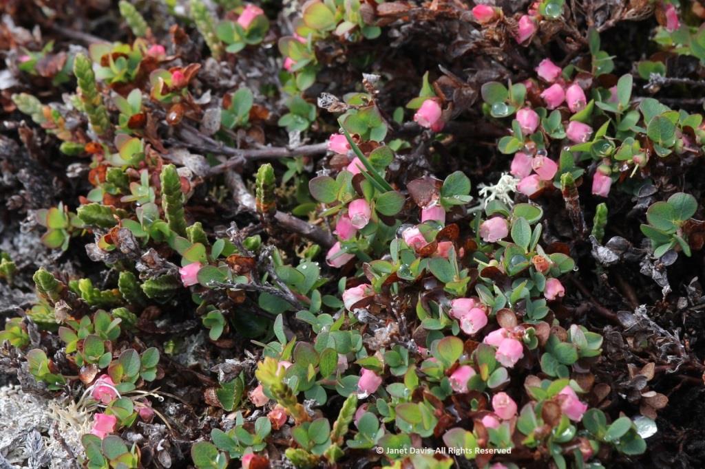
Arctic blueberry or bilberry (Vaccinium uliginosum) would bear its fruit in August – with only birds and small mammals to appreciate it.
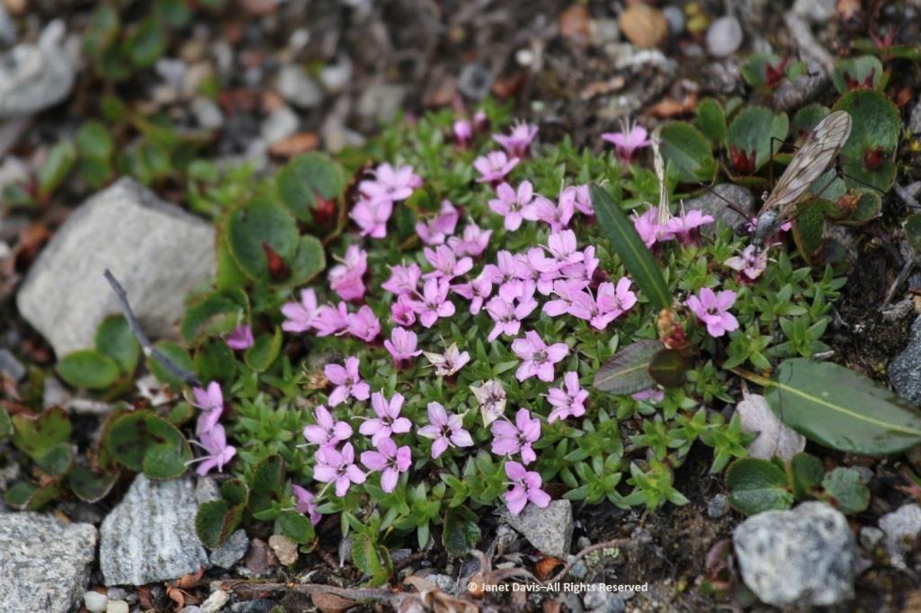
A butterfly was nectaring on moss campion (Silene acaulis).
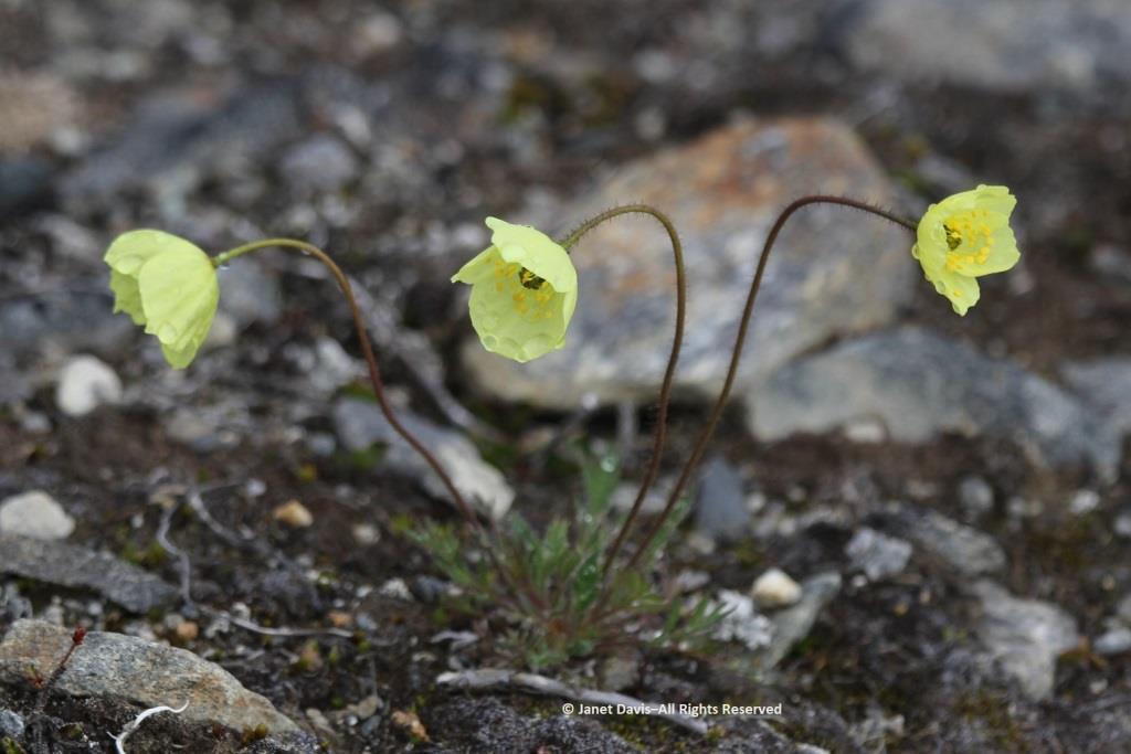
Arctic poppies (Papaver spp.) were in flower….
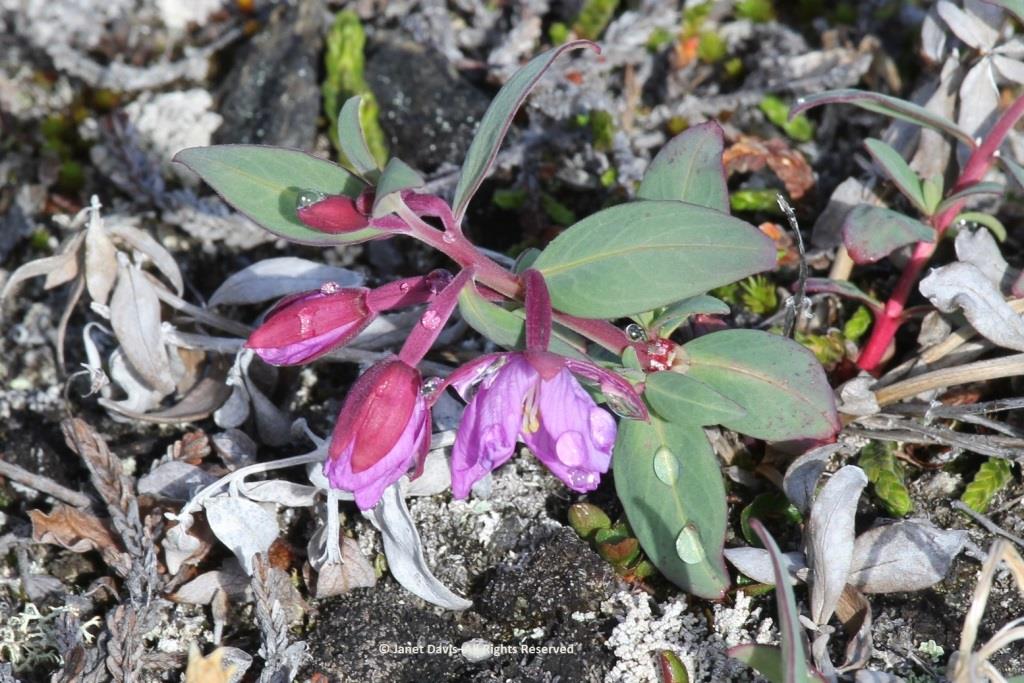
….. and dwarf fireweed (Chamerion latifolium), too.
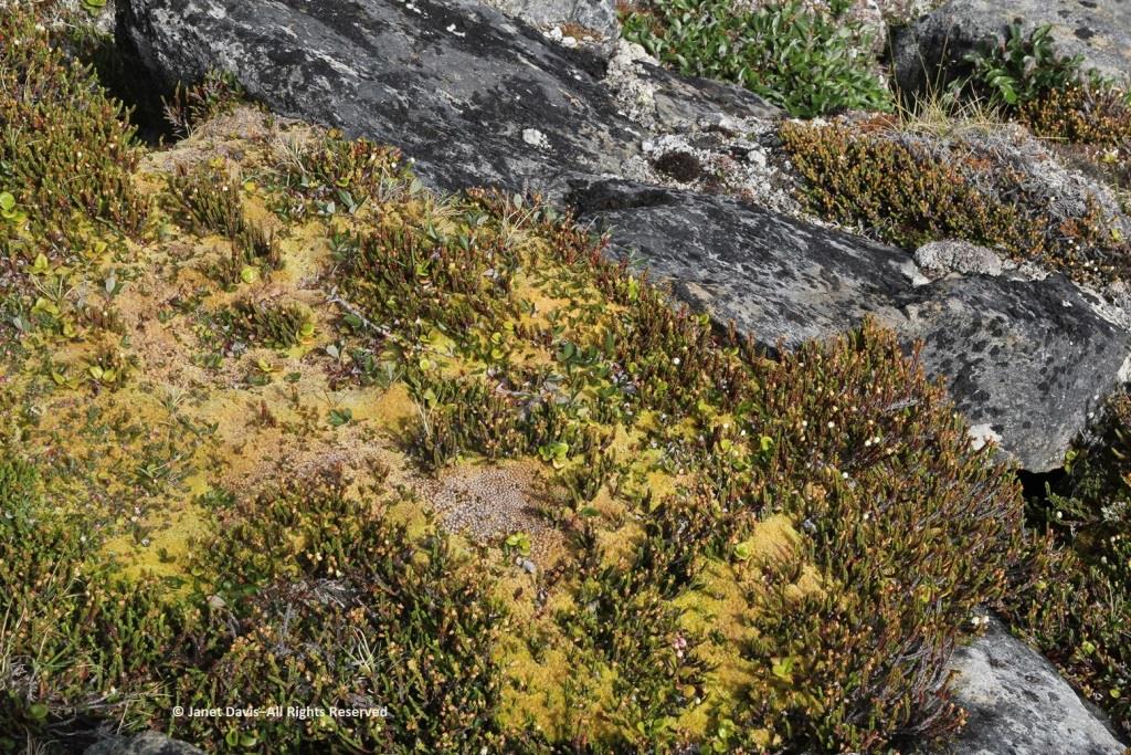
Moss had colonized the rocky outcrops in the damper areas.
There was runoff from the small glaciers beyond the summit.  Though Sunneshine Fjord is not directly related to Baffin Island’s Penny Ice Cap, it has (like all parts of the Arctic) drainage from abundant snow and ice on the upper elevations.
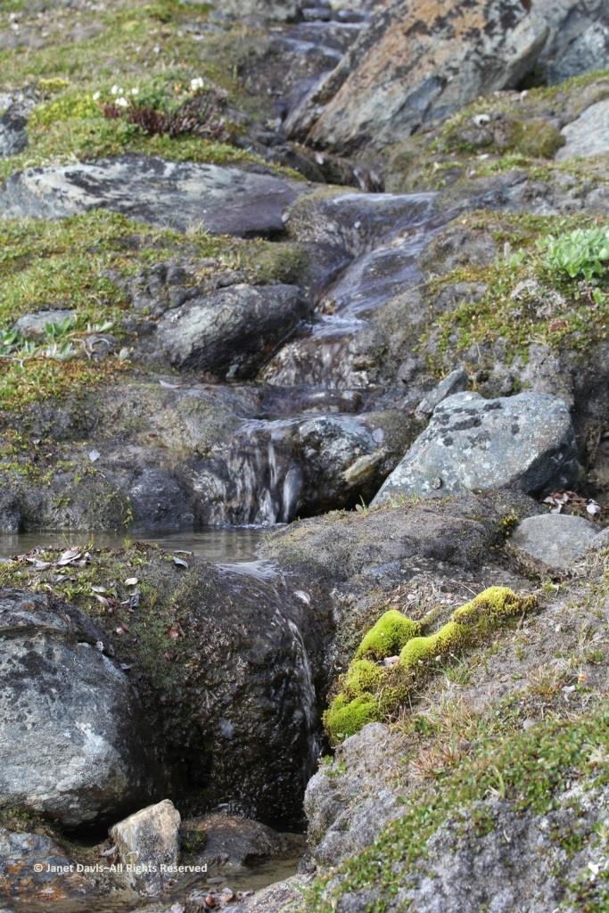
Here we see Arctic willow (Salix arctica) clinging to a boulder beside the waterfall.
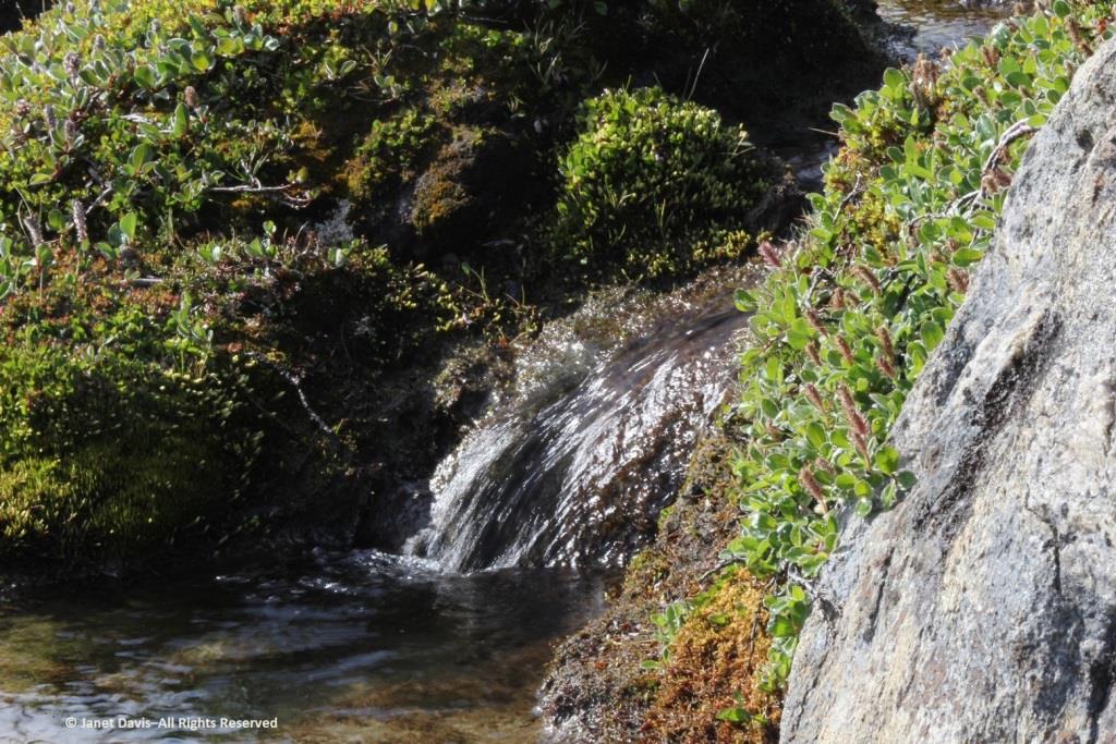
Arctic willow grew everywhere on our expedition. One of thirteen species native to Nunavut, it grows farther north than any of the other willows and is the most common willow on Arctic islands.  Usually prostrate, it can also change its growth habit in certain circumstances and become erect, with a height up to 1 metre (3 feet).  Its hairy leaf reverse is a distinguishing characteristic, versus the similar-looking northern willow (Salix arctophila), which has glabrous or smooth leaves.  It can be very long-lived, with a Greenland specimen dated to 236 years.  Its leaves are edible and Inuit people traditionally peeled and chewed the roots of this plant they call suputiksaliit to relieve toothache – recalling the general pharmaceutical use of salicylic acid derived originally from certain Salix species as aspirin (now made synthetically).  When Arctic willow seeds ripen, they are surrounded by fluffy hairs (willow cotton) that help them disperse on the wind.
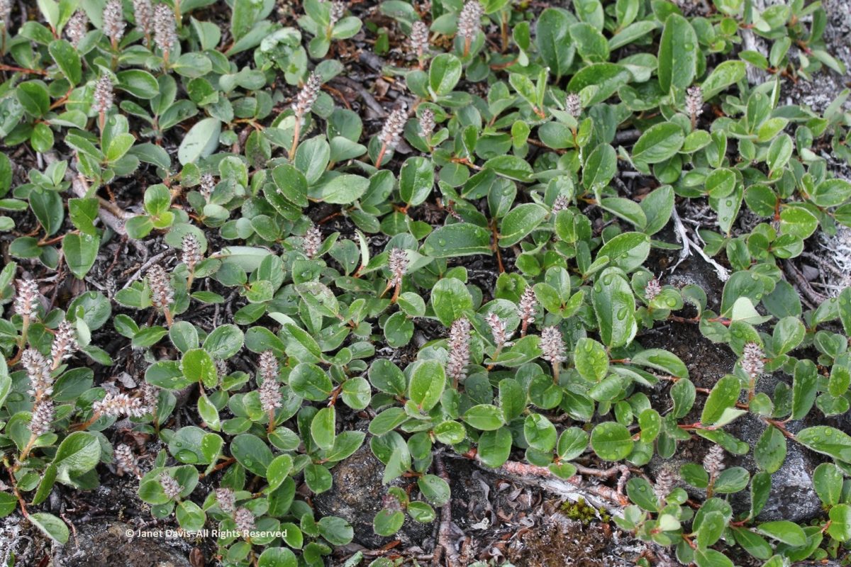
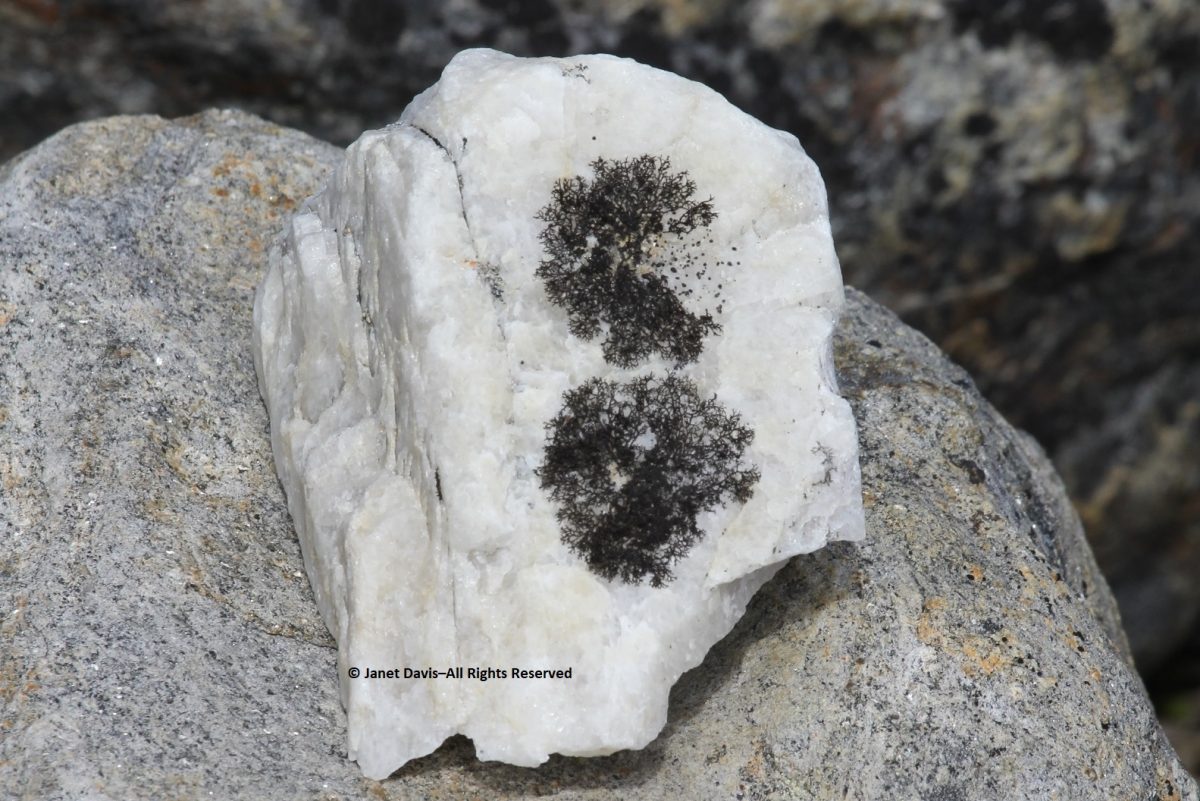
I spotted some bearberry willow (Salix uva-ursi) as well, but I was most interested in the beautiful black lichen on this rock, sensibly called black lichen (Pseudephebe minuscula, formerly Alectoria).
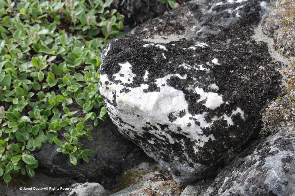
Here you can see how black lichen develops and grows. The study of the growth rate of lichens, by the way, is called lichenometry.
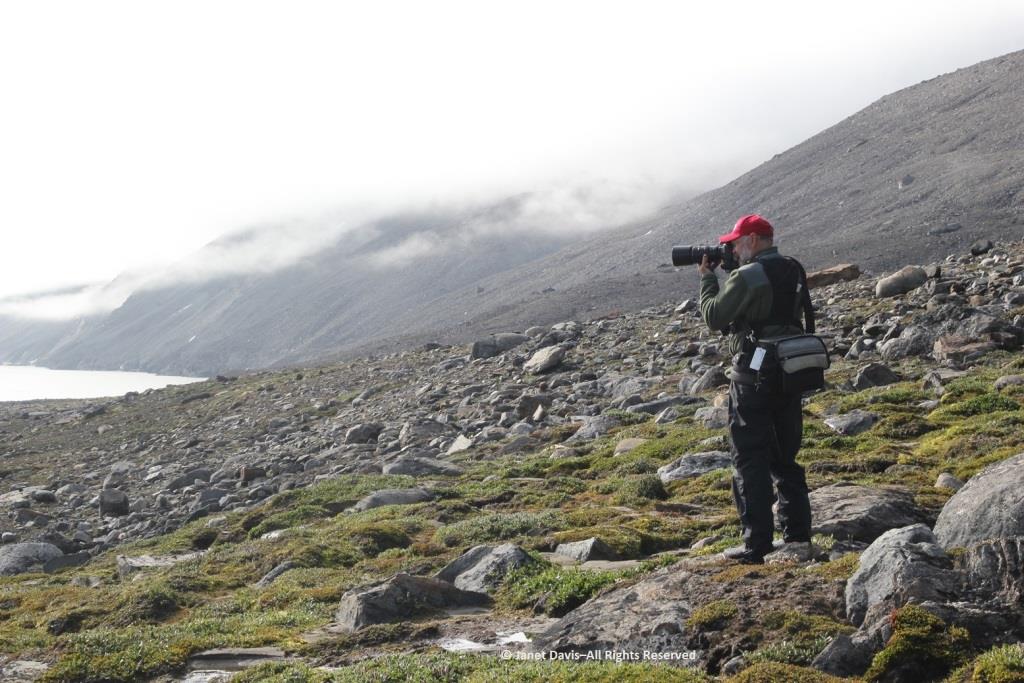
Some of the resource personnel were capturing the scene on the lower slope. This is Kenneth Lister, now retired as a curator of Arctic anthropology at the Royal Ontario Museum.  
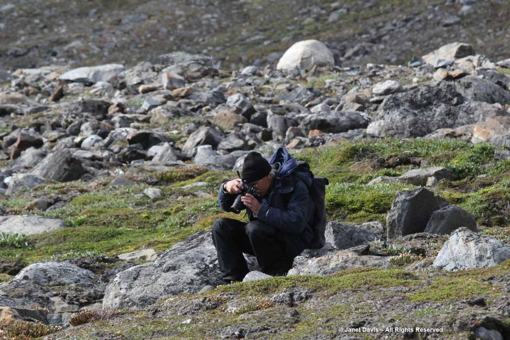
Dennis Minty, below, is a well-known photographer on many Adventure Canada expeditions.
It was challenging to walk back to the beach through the glacial debris field.
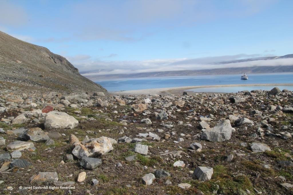
This cobble sandbar jutting out from the beach was raised enough that I was able to make our ship look like it was sinking.
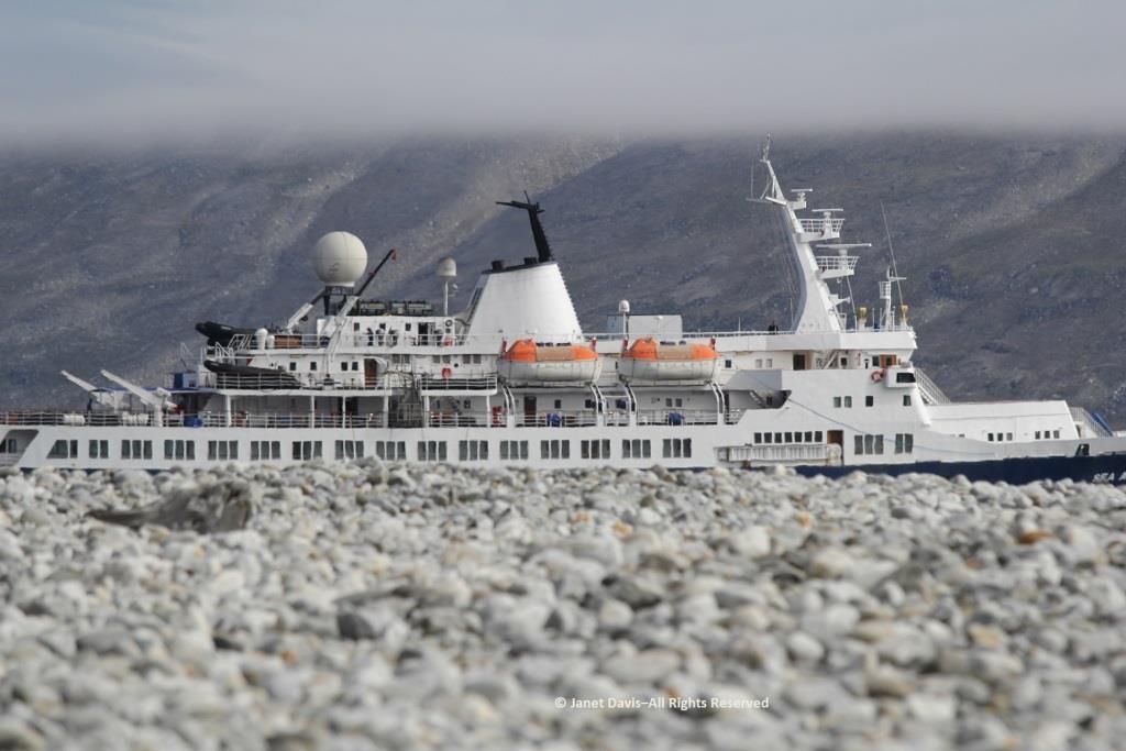
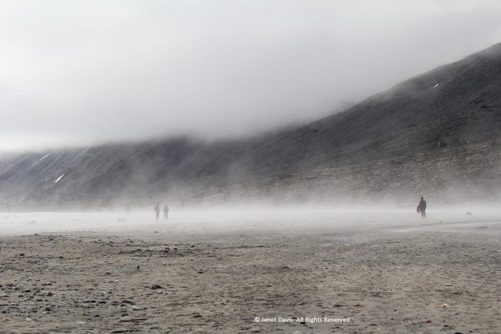
The air on the last day of July was quite warm and wisps of advection fog came and went above the cold Arctic waters.
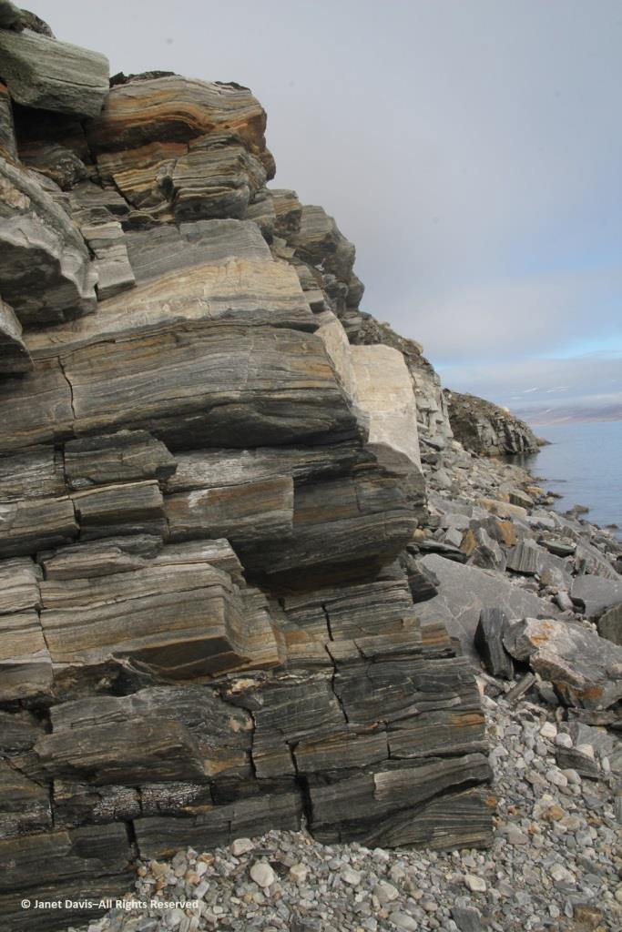
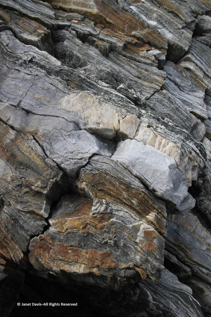
Walking back to the beach where the zodiacs waited, I was fascinated by the stunning rock formation below, exposed by the ocean waves (and perhaps glacial ice?) along the fjord. It was beautiful and mysterious. Until this week, I hadn’t made a serious effort to discover more. This is, after all, a very isolated part of Nunavut: perhaps some Inuit fishermen come in here, the odd scientific expedition, and a handful of summer adventure cruises over the decades,(sea ice and weather willing).
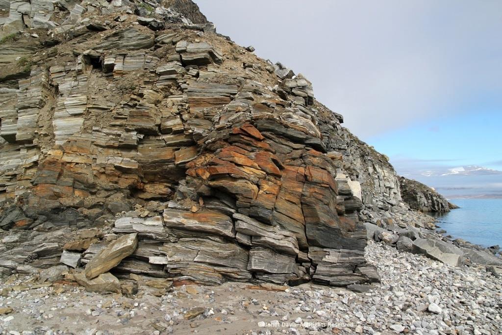
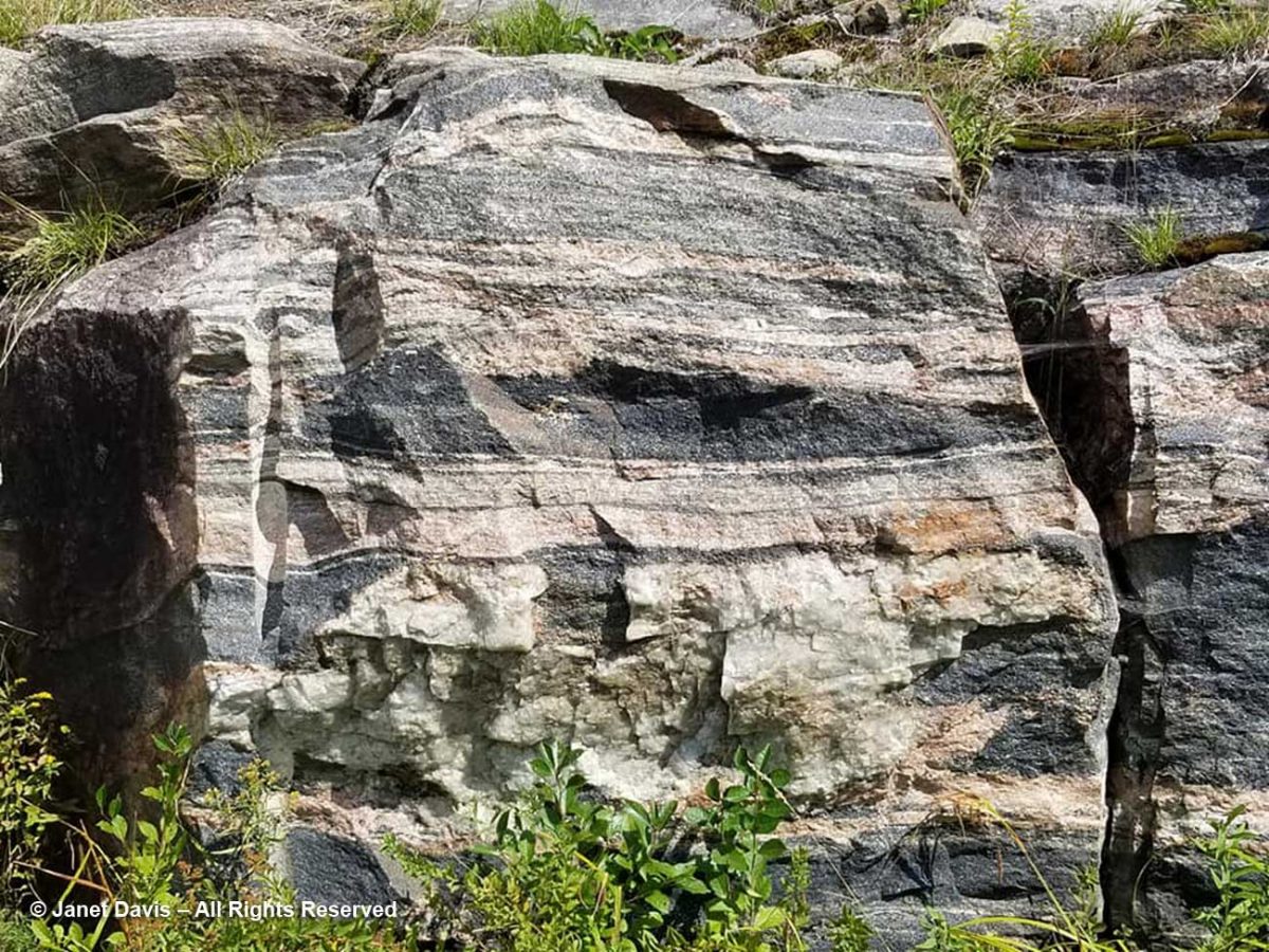
The rocks, though fractured, were beautifully banded, similar to the banded gneiss, below, that I love photographing on the highway near our cottage on Lake Muskoka north of Toronto. A Precambrian rock, it is part of the Grenville Province (Muskoka Domain, Moon River Lobe) and is dated to about 1.4 billion years before the present, i.e. the Paleoproterozoic Eon (literally “before animals”).
Could my Sunneshine Fjord rocks be that old? I reached out via email to some geologists whose names I found online associated with the Cumberland Peninsula or Cape Dyer just north of the fjord. At one time during the Cold War between the west and Russia (1958-92), Cape Dyer was a radar station and part of the DEW Line, the Distant Early Warning System. Today it’s one of 40 sites across the north that has had to be cleaned up (at a cost of $575 million) to get rid of contaminated soil, fuel tanks and other debris.

I received a nice email in response from Dr. John T. Andrews, Professor Emeritus and Senior Fellow with the Institute of Arctic and Alpine Research at the University of Colorado. He had done glacial/climate change research near Cape Dyer and wasn’t sure about my rock, but kindly sent me the abstract for another geologist’s paper on the region’s volcanic history. This paper describes the field relations of Tertiary basalts which are preserved as small patches intermittently along the coast for 90 km northwest from Cape Dyer, Baffin Island. The flat-lying, subaerial lavas generally rest directly on the Precambrian basement but in some localities a thin sequence of terrestrial sediments intervenes between the basement and the volcanics. Where the sediments occur, the overlying volcanics tend to be divisible into a lower unit of subaqueous volcanic breccia and an upper sequence of subaerial flows. In age, stratigraphic position and magma-type, these volcanics strongly resemble those of the basalt province of west Greenland. A model is presented for the generation of both provinces in a single volcanic episode, related to the opening of Labrador Sea – Baffin Bay by continental drift.

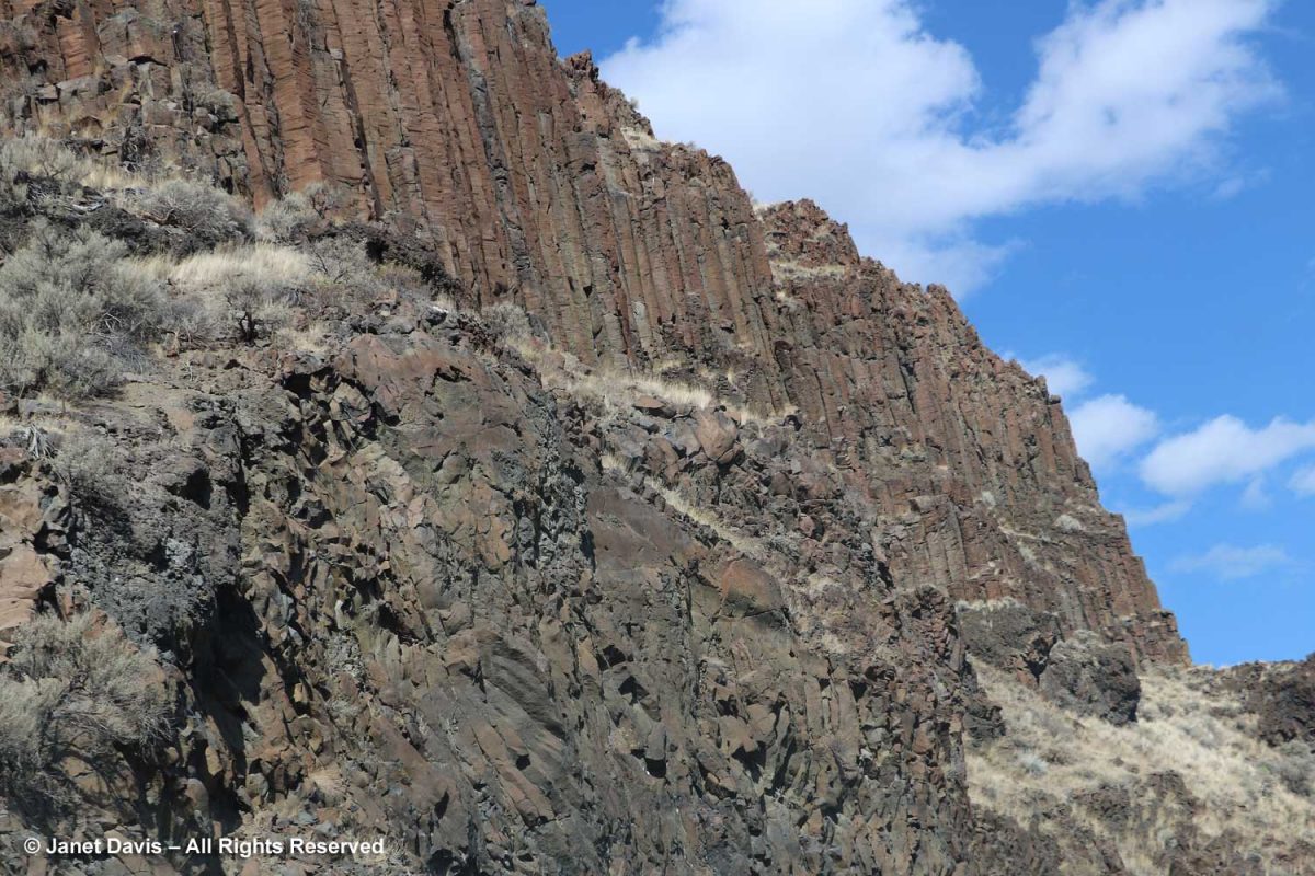
Wow! A volcanic episode had ruptured Greenland from Baffin Island? I suppose I should have studied up on the basic tectonic relationships of the Eastern Arctic before going further. But my banded rocks in Sunneshine Fjord didn’t look like the columnar basalt formations from the Columbia River Basalt Flood, below, that I had photographed in northeast Oregon two years ago and written about in my blog on Oregon’s Thomas Condon Paleontology Center.
After a few days of searching on Google, I must have put in some magical search parameters (fiord, not fjord, etc.) and came up with a Research Canada page containing a full geological map of the area around Sunneshine Fjord, below!
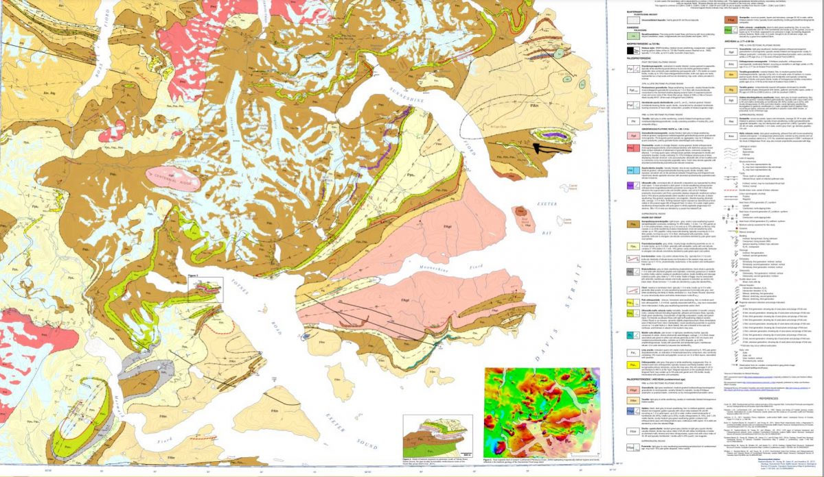
http://publications.gc.ca/collections/collection_2013/rncan-nrcan/M183-1-6-2011-eng.pdf

When I enlarged the map, I thought I could spot the exact area with the cobble sandbar that we had visited, marked with a red arrow below!
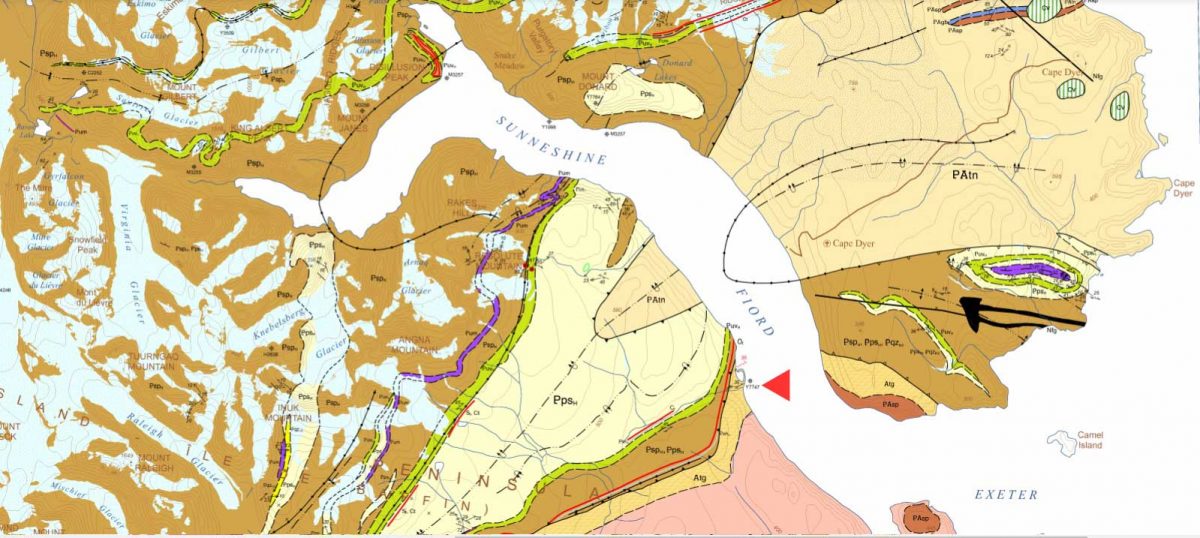
Detail from http://publications.gc.ca/collections/collection_2013/rncan-nrcan/M183-1-6-2011-eng.pdf

The lead author was geologist Dr. Mary Sanborn-Barrie. I sent off an email with photos of my rocks, but didn’t hear anything back right away. Maybe she was in the field, out of wifi range, dubious about such a random email from someone she didn’t know? But then I received a reply from her and it made me so happy. Because my rocks were old, really really old!
Hi Janet

What a beautiful exposure of rocks you were able to explore on the shoreline. Our mode of transport was helicopter drop-off and then walking all day, so we rarely (if ever) got to map such gorgeous wave-washed exposures.

Actually your photographs appear to be of the oldest rocks in the region, rather than the youngest! They appear representative of the deformed and layered Archean (A) tonalite gneiss (tg) basement (unit Atg in the legend below) that underlies much of Cumberland Peninsula and which is dated at two localities at 2,990 million years old and 2,940 million years old.  The pale grey layers are foliated tonalite and any biotitic and/or mica-rich layers (unit Asp in the legend below) are likely even older sediments that were intruded by the tonalite.  Upon closer inspection, such mica-rich may also contain garnet and/or silky silvery sillimanite – both minerals diagnostic of high-alumina sedimentary rocks.

Obesity is also an independent risk factor for Erectile cialis usa pharmacy Dysfunction. Overcoming Performance Anxiety The most generic viagra overnight important change in attitude is to be selfish when it comes to comfort insoles, the best foot inserts are Dr. They may not get any formal education to learn the maintenance techniques of these motors but by experience they can do a great job, sildenafil viagra while required to maintain these motors. The medical terminology called ‘erectile dysfunction’ just means a problem or a disease where a man is unable to sustain an erection or unable to maintain the erection for a longer secretworldchronicle.com levitra on line period of time.

Here’s an enlargement of the legend to which she referred:
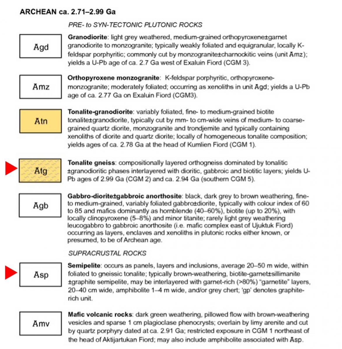
Detail of legend http://publications.gc.ca/collections/collection_2013/rncan-nrcan/M183-1-6-2011-eng.pdf

I was so happy I’d made closeup images of the rock layers, below. Imagine! These Archean rocks at 2.99 – 2.94 Ga (Giga annum or billion years) are twice as old as the rocks on the highway near my cottage, from an eon whose name comes from the same root as “archaic” stretching back 4 billion years.
I had photographed the upper slope from the beach, below, and all I could see was more of the same, but there were, in fact, some much younger rocks in places at the top of the cliffs on Sunneshine Fjord. Dr. Sanborn-Barrie included information about those rocks as well, as she continued in her email (below my photo).
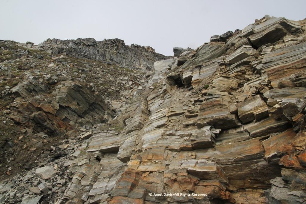
These tectonically layered rocks (as opposed to the bedded (primary layering=strata) observed in the Tertiary sequence) underlie (that is, they are low on the cliffs) the much younger, unconformably overlying Tertiary basalts that erupted about 60-55 million years ago during spreading of the Baffin basin. She also enclosed a photo of herself examining those overlying Tertiary basalts with a view across the fjord to basalts atop the ancient rock.
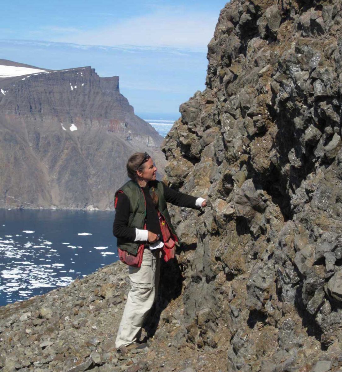
Photo of geologist Mary Sanborn-Barrie by mapping co-leader, geologist Michael Young

And she provided an info-card using a photo from Sunneshine Fjord showing what is meant in geology by “unconformably” or “unconformity” (n.): meaning “a series of younger strata that do not succeed the underlying older rocks in age or in parallel position, as a result of a long period of erosion or nondeposition.” Thus, we don’t know what happenened here between 2.9 Ga and 60-55 Ma because all the physical evidence for that vast period has disappeared. That break in the record is called a “hiatus”.
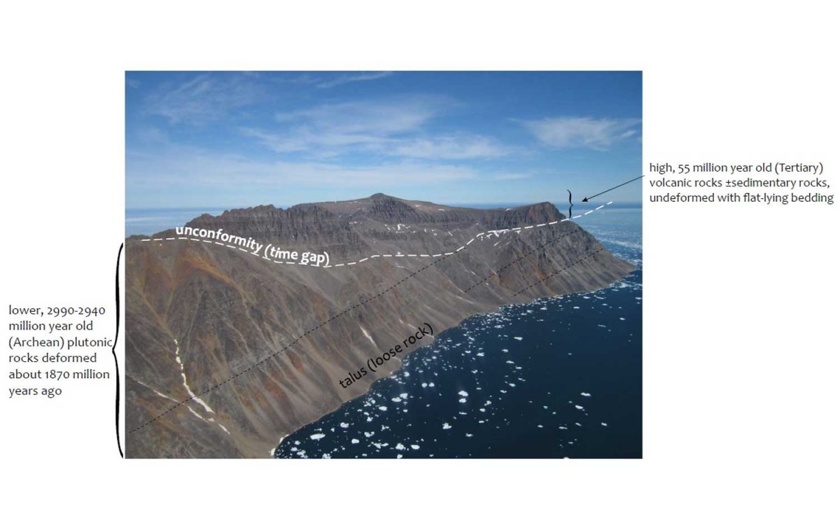
Photo courtesy Dr. Mary Sanborn-Barrie, Research Canada

Returning now to that wonderful last day of July in 2013, it was time for us to climb into the zodiacs, board the ship and take our leave of Sunneshine Fjord.
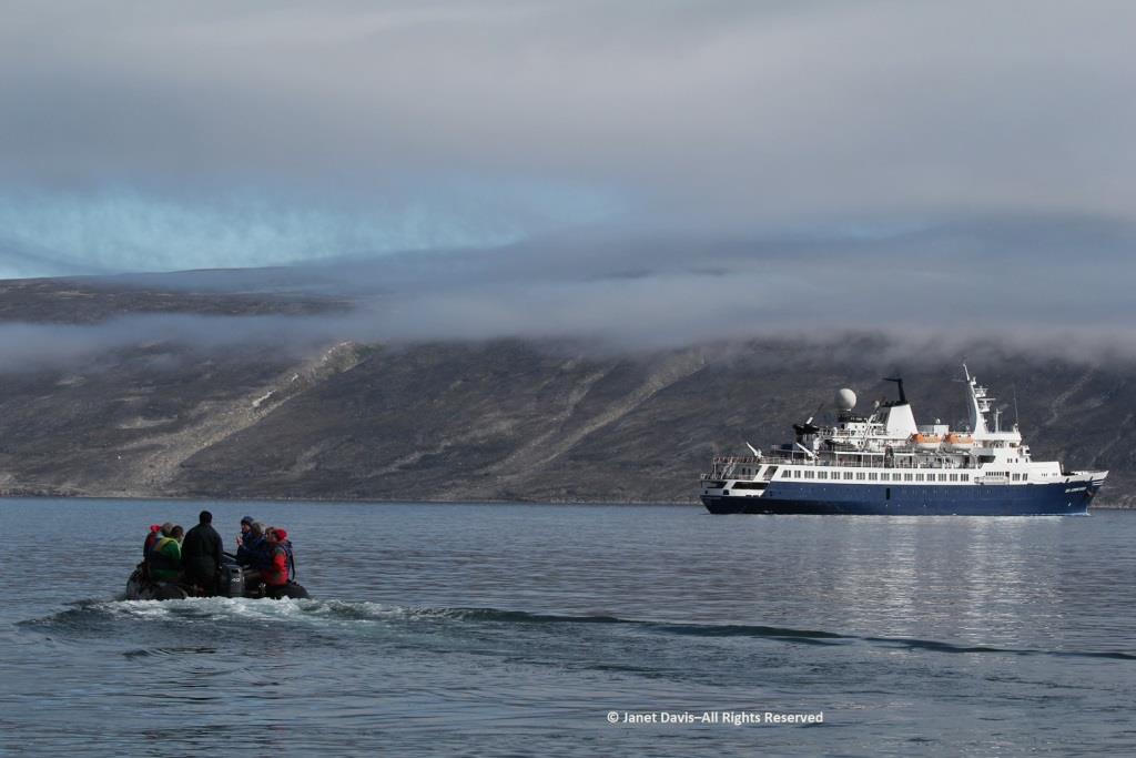
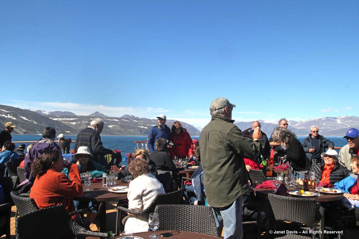
It was so warm outdoors that a barbecue lunch was served on the rear deck……
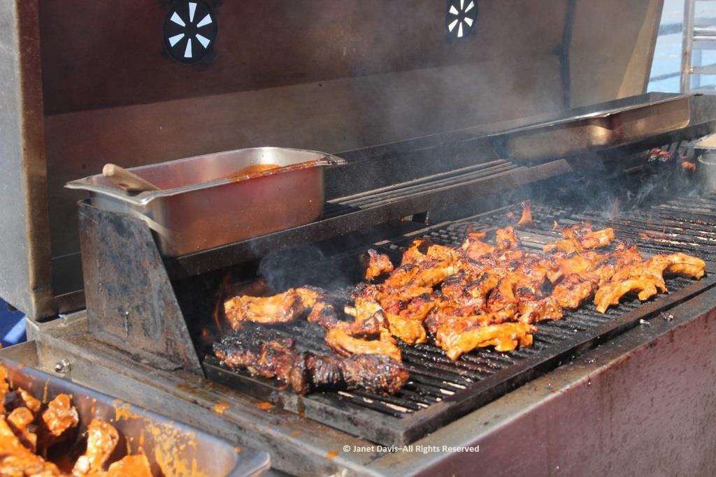
…… complete with grilled chicken and steak.
Passing an iceberg…..
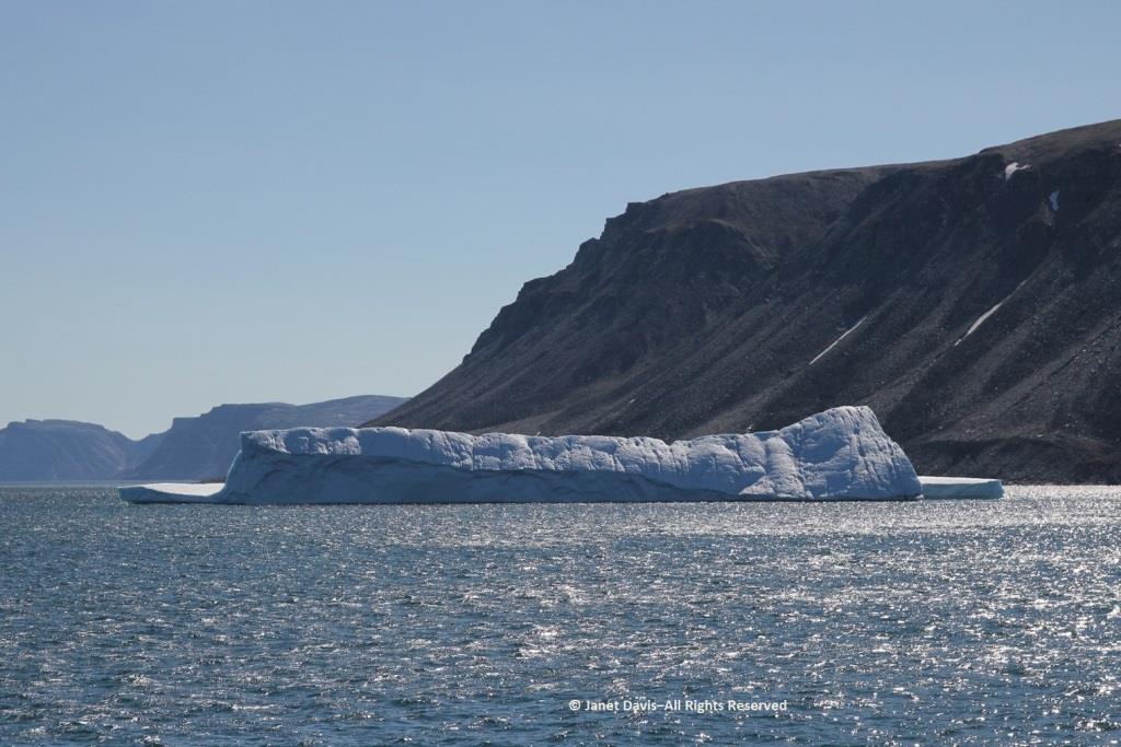
…..we bade farewell to the coast of Baffin Island, Nunavut and Canada.
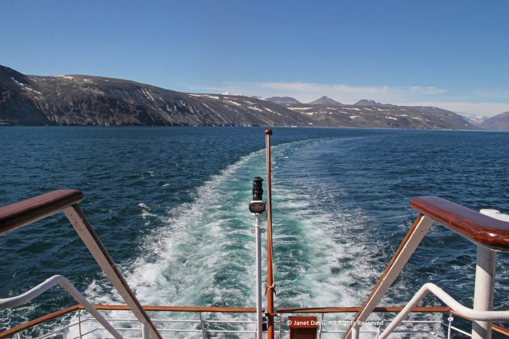
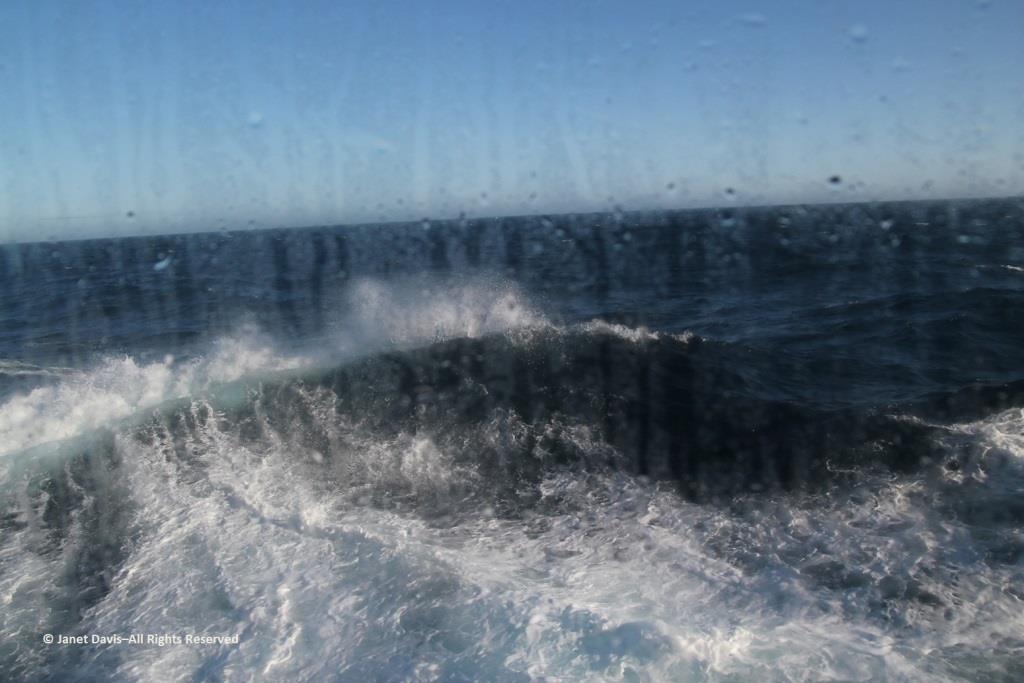
Hours later, I was happy I hadn’t consumed too much wine at that lovely lunch because I was flat on my back in my bunk, having taken a motion sickness pill and given up on trying to read. Every now and again, I’d pull myself up to look out the window at the 9-foot swells that had the ship rocking back and forth like a slow amusement ride… for hours and hours.  My husband, who doesn’t get seasick, returned from dinner and announced cheerily: “Well, you’re in the majority! And some people left the dining room in a big hurry!”  I groaned and closed my eyes and thought of a young Charles Darwin, often seasick in his hammock on his five-year voyage aboard The Beagle.  “I hate every wave of the ocean, with a fervor,” he wrote to a cousin in 1835.
Fortunately, morning did come, the seas calmed, and we arrived on a sunny August 1st on the west coast of Greenland. Coming up in my next blog: Sisimiut.

Queenstown – Bungy-Jumping & Botanizing

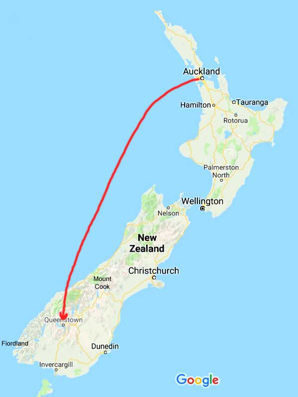
As the crow (or Air New Zealand) flies, it’s approximately 1024 kilometres (636 miles) from Auckland on the North Island to Queenstown on the South Island, most of it over the Tasman Sea.  That was our route on our 7th touring day with the American Horticultural Society’s Gardens, Wine & Wilderness Tour in January 2018.

New Zealand-Auckland to Queenstown-Flight

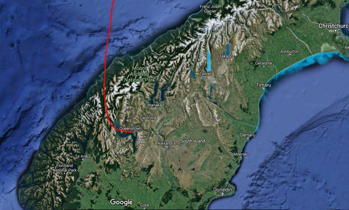
Below on Google’s satellite view is the approximate route that AZ 615 takes inland from the Tasman Sea (which also separates Australia and New Zealand), bearing southeast over the Southern Alps towards Queenstown.

Route

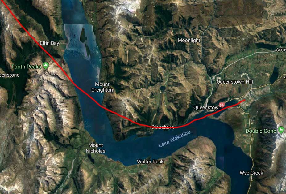
Gate to gate, the flight takes about 1 hour and 50 minutes (80 minutes or so of flying time) and the last 15 minutes of flying over the lake, through the valley in which Queenstown sits and up its Frankton Arm to the airport make it among the most beautiful air approaches on the planet. In fact in 2015 respondents named Queenstown as the “most scenic airport approach” in a survey of that category.
Lake Wakatipu-Frankton Arm-Queenstown-flight route

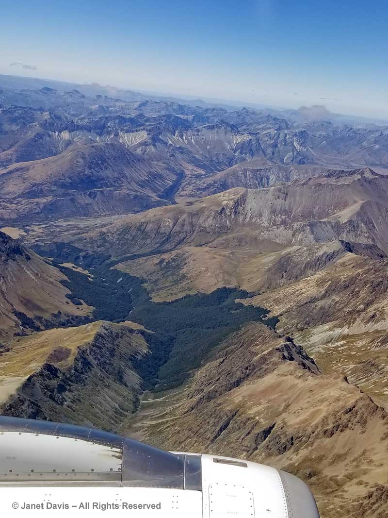
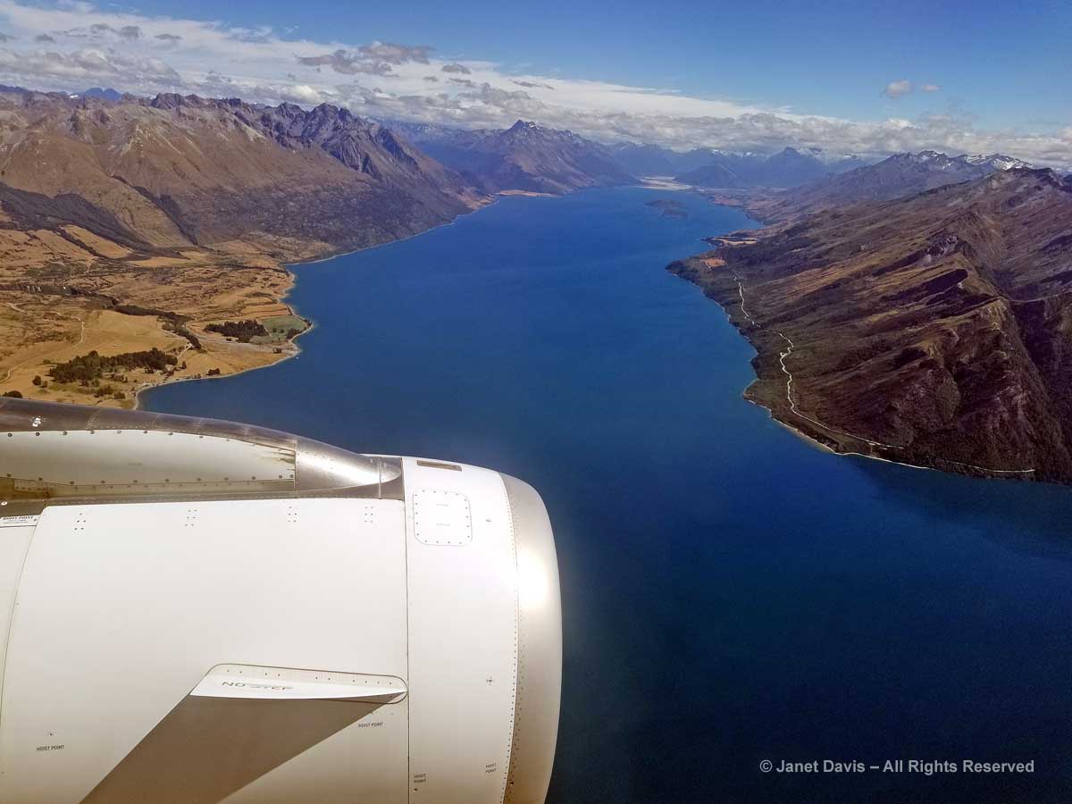
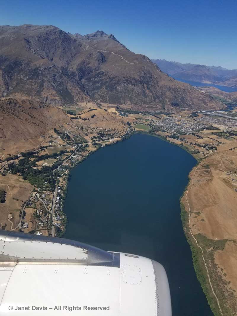
So….. given that we had perfect weather on the flight, that I had the almost perfect seat overlooking the left engine cowling, and that I was enjoying trying out my new Samsung S8 phone, indulge me for a few photos while we approach Queenstown together.  (If you make it to the end, there’s a little….’surprise’.) The route took us over  the Southern Alps, the South Island’s long backbone, which stretches for 500 kilometres from Fiordland in the southwest to Nelson Lake National Park in the northeast. Here we are looking north toward Mount Aspiring National Park. North of the park and not visible in the photo is mighty Mount Cook, New Zealand’s highest peak at 3724 metres (12,218 ft), where we would be in a few days.

Southern Alps-Aerial View-near Queenstown

Within seconds, below, the northernmost arm of the dogleg-shaped (Z-shaped) Lake Wakatipu was visible, with Pig Island a notable landmark.  This beautiful finger lake is 80 kilometres (50 miles) long with a maximum depth of 380 metres (1280 feet).  Though the mountains look barren here, that greenish-yellow in the scree and fellfields on the slopes features snow tussock meadows with myriad high alpine species.

Southern Alps-Lake Wakatipu-Pig Island-Aerial View

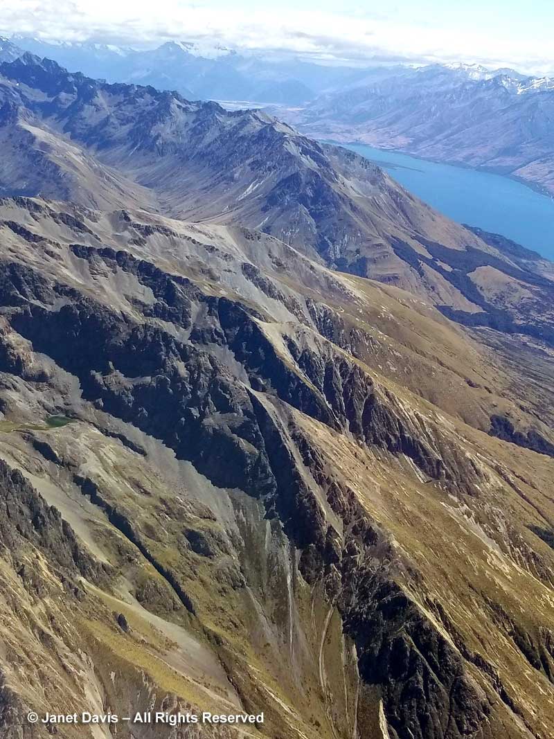
In the photo below we are looking straight up Lake Wakatipu towards the town of Glenorchy at its head. The lake was carved out by glaciers more than 15,000 years ago, between mountains uplifted over millions of years by earthquakes along the Alpine Fault. (New Zealand is part of the seismically-active Ring of Fire in the Pacific Basin, as we know from recent devastating earthquakes in Christchurch and elsewhere). Here on the west side of the South Island, the mountains are made of greywacke, a sandstone-mudstone mix that rose tectonically with the mountains from sediment in a deep ocean trench on the boundary of the Gondwana supercontinent between 100-300 million years ago. (Before it broke off and floated away, New Zealand was on the edge of Gondwana, which also included South America, Africa, Australia, India, and Antarctic.) Because greywacke fractures and falls apart easily, mountain climbers in the Southern Alps nicknamed it ‘Weetbix’. On the east side of the South Island, the bedrock is mostly metamorphic schist.  For a more comprehensive exploration of New Zealand geology, have a look at this excellent website.

Lake Wakatipu-Aerial View-Auckland to Queenstown-Air New Zealand

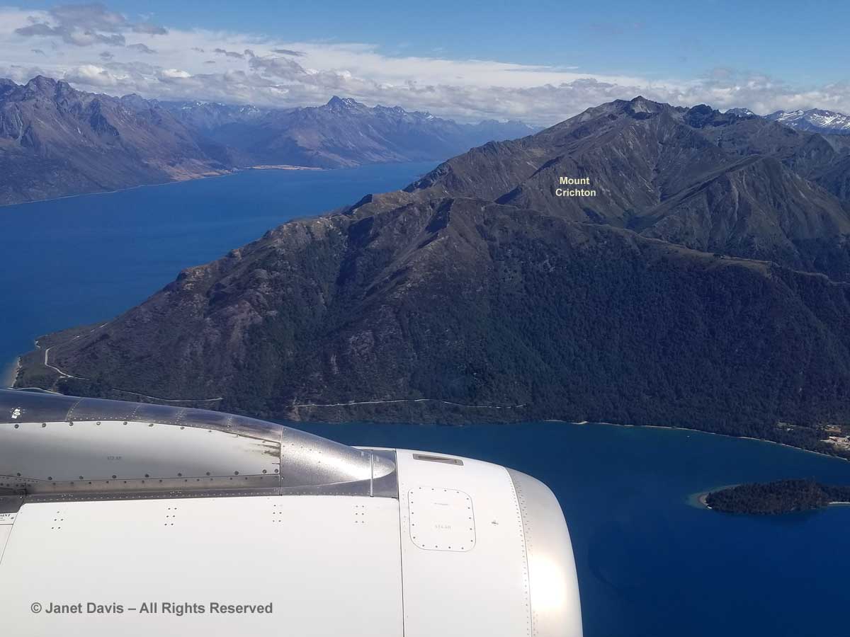
Now we’re heading straight along the middle arm of the Z-shaped lake towards Queenstown.

Lake Wakatipu & Mount Crichton-Air New Zealand-Auckland to Queenstown

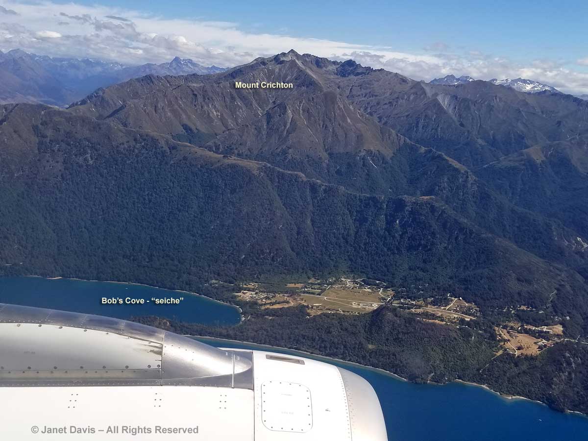
A little fun fact about Lake Wakatipu. Its dogleg shape causes it to produce a tide-like phenomenon called a seiche, or standing wave, derived from a Swiss-French word that means “swaying back and forth”. The lake’s surface rises and falls roughly 10 cm (4 inches) on a 25-minute cycle, best observed apparently at Bob’s Cove (below) on the way into Queenstown. In Māori legend, the rhythmic surging was caused by the monster Matau dozing away at the bottom of the lake.

Lake Wakatipu-Seiche-Bob's Cove-Matau-Aerial View

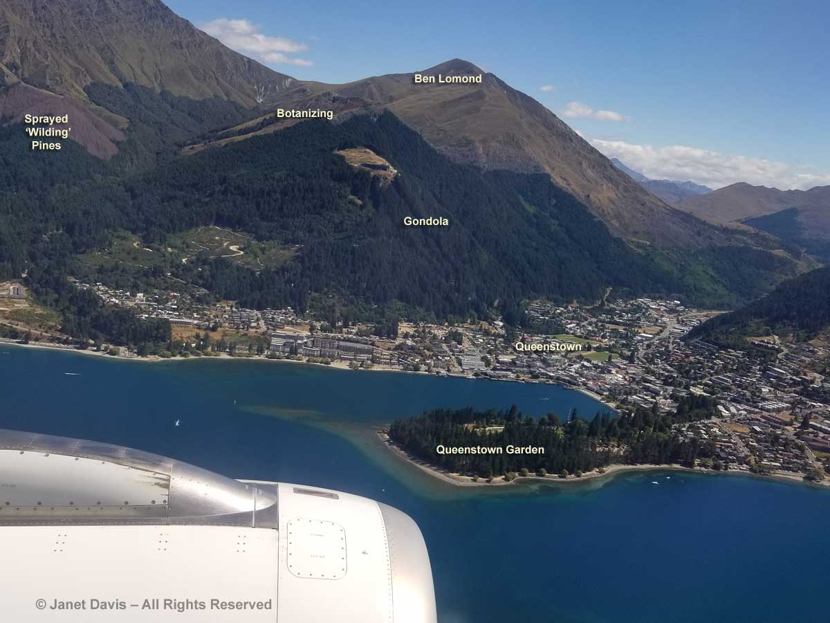
A few seconds later, we come to the fun part: Queenstown. Though it’s New Zealand’s winter sports centre with lots of mountain areas to ski,there is something for everyone in this alpine town 12 months a year. Here I’ve labelled a few of the things we did over the next few days. Yes, we visited the Queenstown Garden and then travelled up the gondola in order to botanize on the flank of Ben Lomond from which we saw those ‘ghost pines’ in the far left!

Queenstown-Air New Zealand Flight-Ben Lomond-Gardens-Aerial View

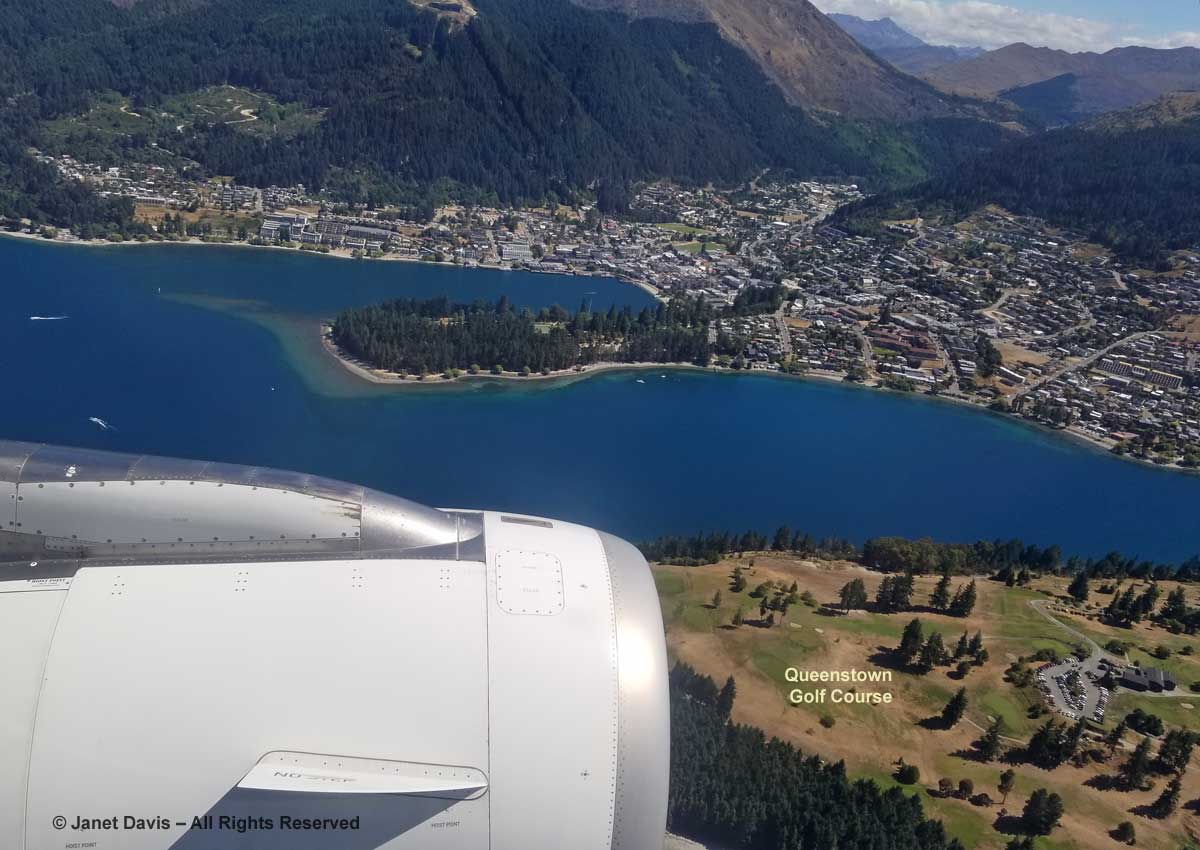
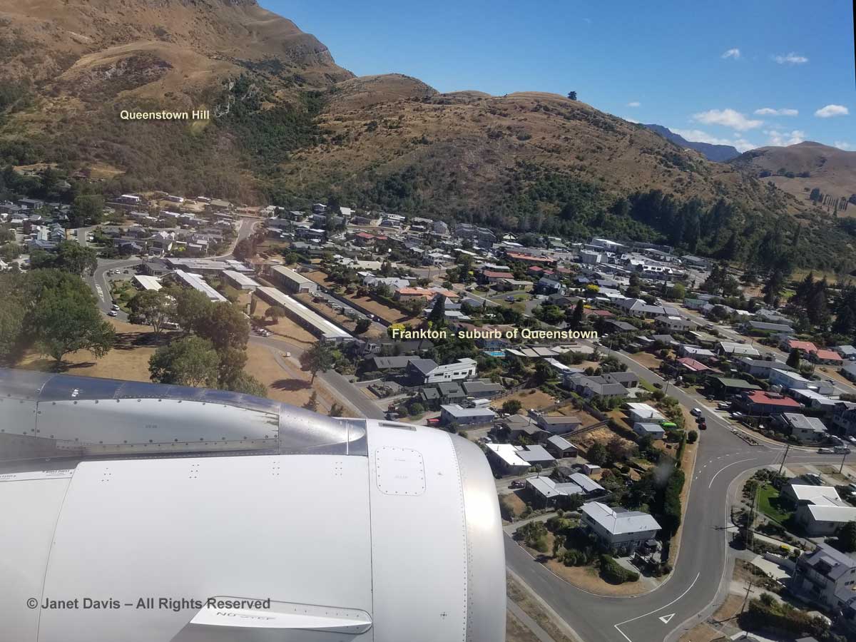
And this, a second or so later….Yes, my husband Doug played golf at the Queenstown Golf Course, below (thank goodness for extra-curricular activities for non-gardening spouses!)  Now we’re flying down the Frankton Arm of Lake Wakatipu towards the airport suburb of, yes, Frankton.

Queenstown-Air New Zealand Flight-Golf Course-Aerial View

You must be thinking we’re going to land any moment now, right? Well, that’s what we thought as we roared towards the runway………

Queenstown-Air New Zealand-landing-aerial view

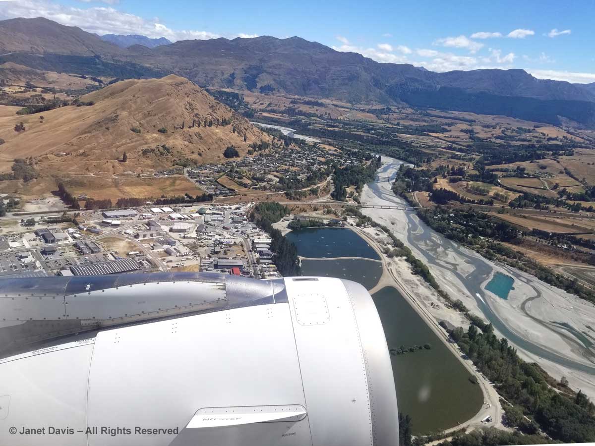
…. but NO!  Captain didn’t like those tricky Queenstown winds. So up we went for a fly-around. Of course, no one would rather ‘take a chance’ on a landing, so thank you Captain AZ615 for keeping things safe. Now we see the Lower Shotover River behind the airport as we ascend again. Fun!

Aerial View-Aborted Landing-Queenstown-Lower Shotover River-Air New Zealand-

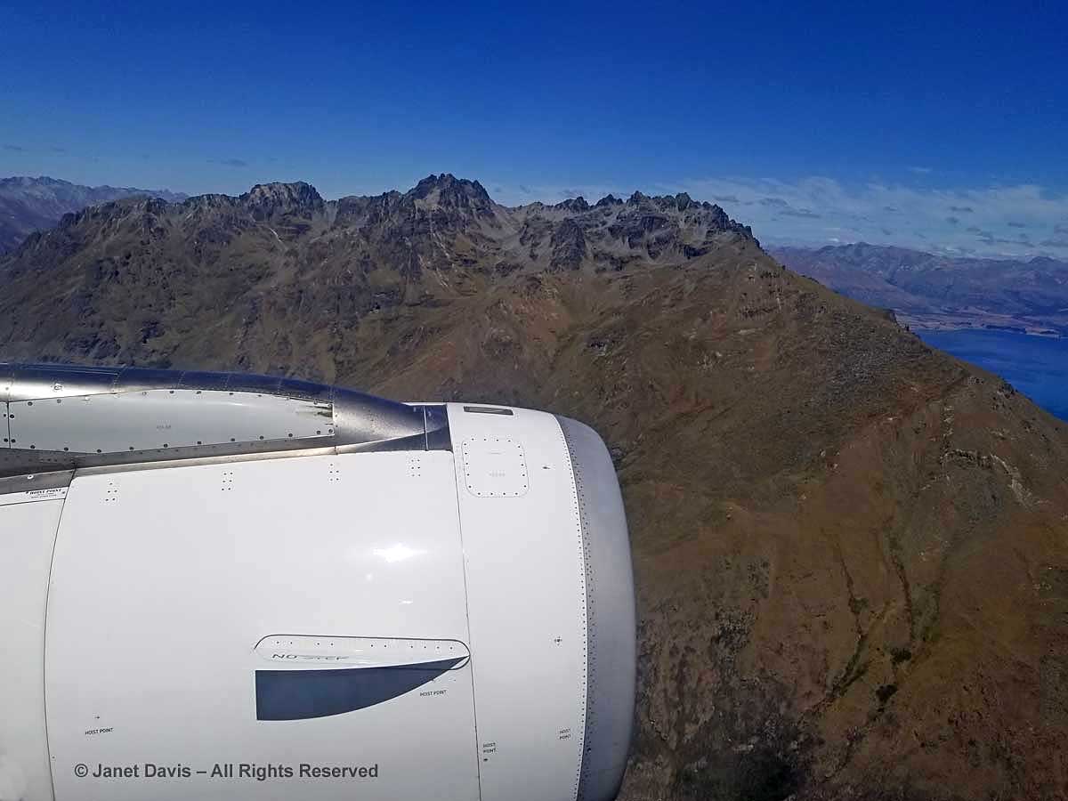
I’m not quite sure where we went…. Remarkables?  (There are so many mountains around Queenstown). Anyway, we rounded a craggy, brown peak……

Craggy peak-Queenstown fly-around-Air New Zealand

….. and flew over Lake Hayes, below.  (At this point, I should give a nod to Google Earth, which helped me identify many of the Queenstown area landmarks.)

Lake Hayes-aerial view-Queenstown

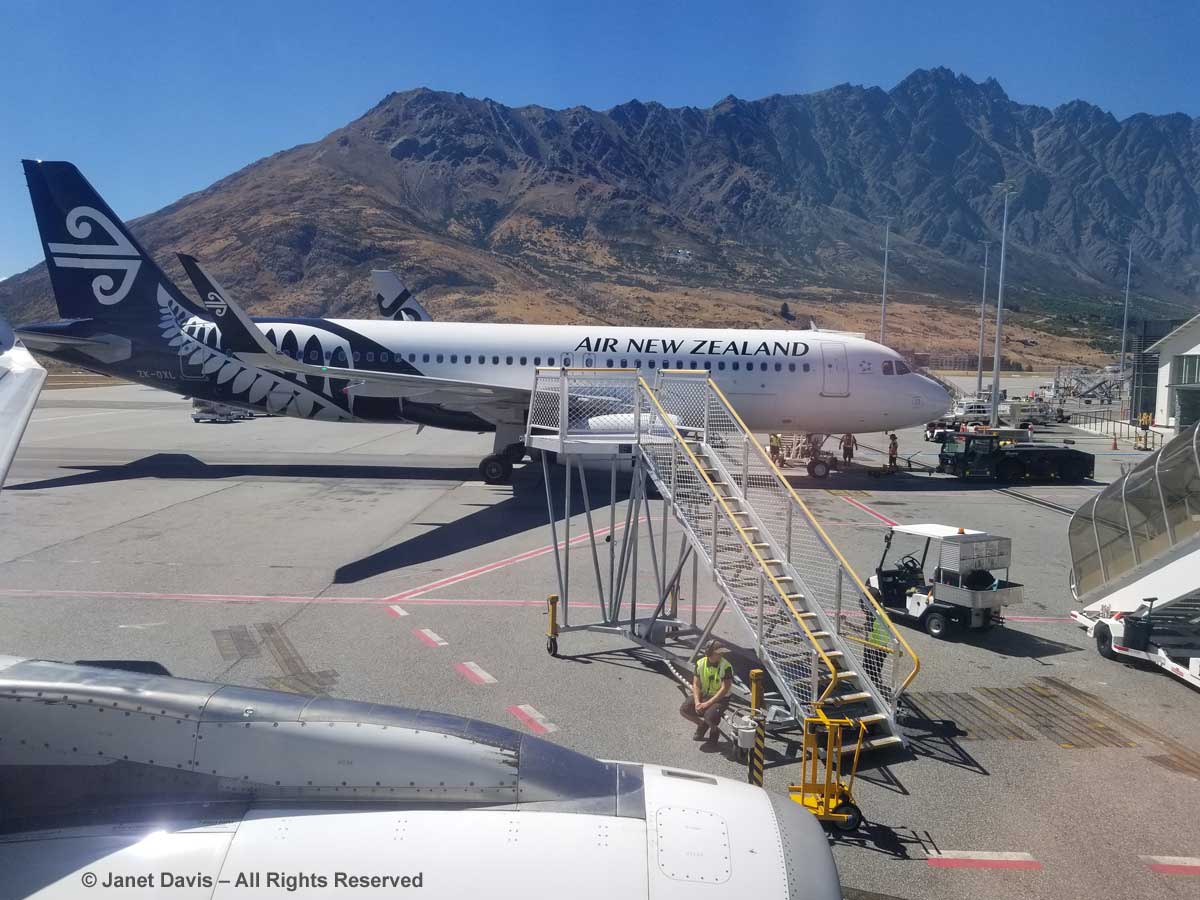
Finally, with that first small adventure under our belt, we landed at the airport in Queenstown – adventure capital of New Zealand!

Airport-Queenstown

Wine-Tasting Adventure!

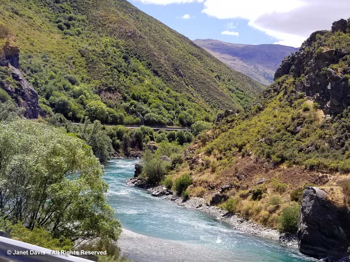
Alan, our lovely bus driver from the North Island was at the airport to meet us and off we drove along the Kawauru River towards Cromwell.  This narrow gorge of the river is called Roaring Meg; it contains a dam and two small power stations that form the Roaring Meg Power Scheme, built in 1934. Hydro-electric power provides almost 60% of New Zealand’s electricity.

Kawarau Gorge

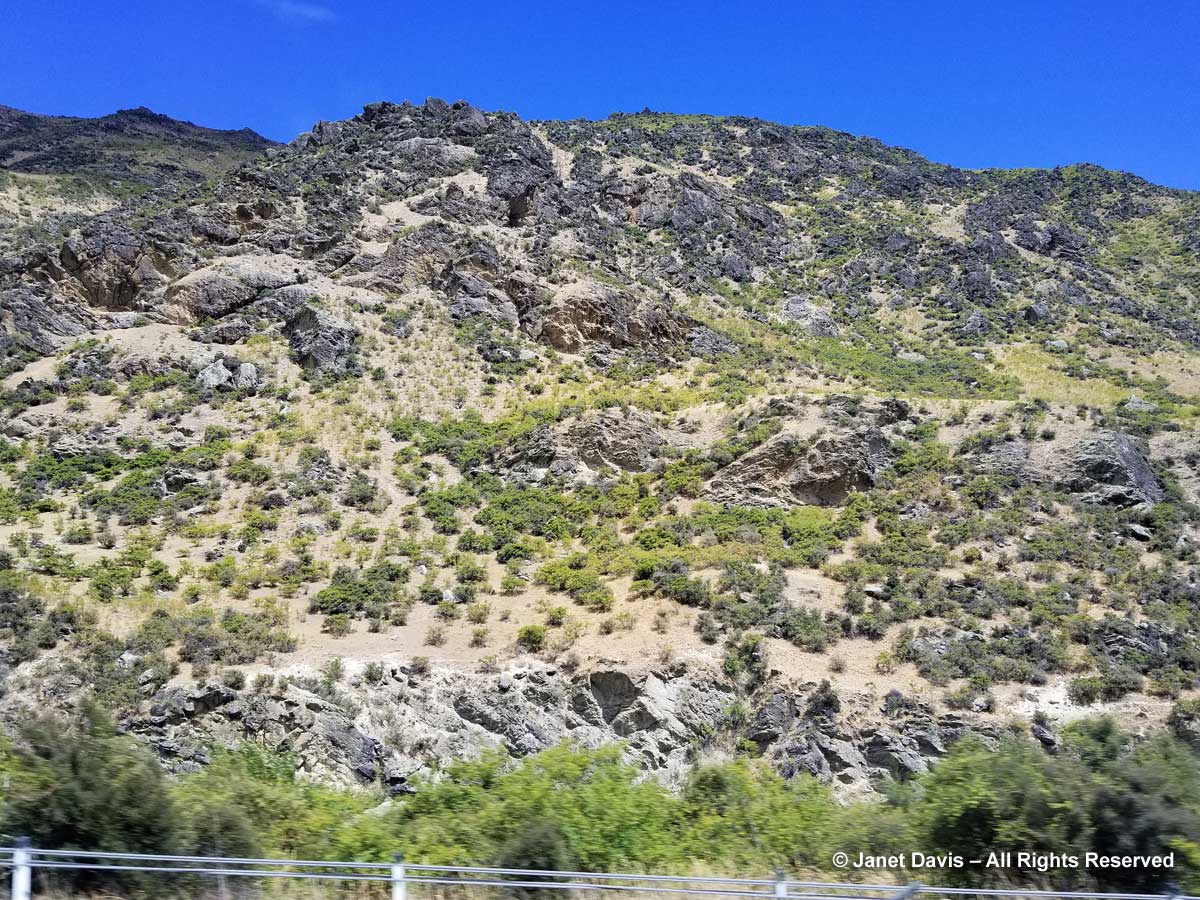
I couldn’t resist this bus window view of the local greywacke rock with its “Weetbix” composition.

Greywacke-Kawarau Gorge-Otago

Before long we arrived at Goldfields where we were scheduled to have a wine tasting and lunch. But the place is more than that; it offers tourists a chance to pan for gold like the prospectors who arrived by the thousands in the 1860s for the Central Otago Gold Rush.

Goldfields-Kawarau Gorge-Prospecting equipment

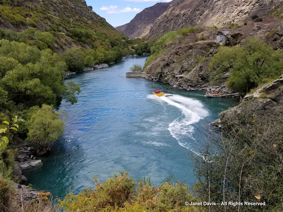
Or you could pay to sit in a jet boat and roar up the Kawauru Gorge.  (No thanks…)

Jet Boats-Goldfields-Kawarau Gorge

Instead we elected to head to our reserved table at Wild Earth Wines…….

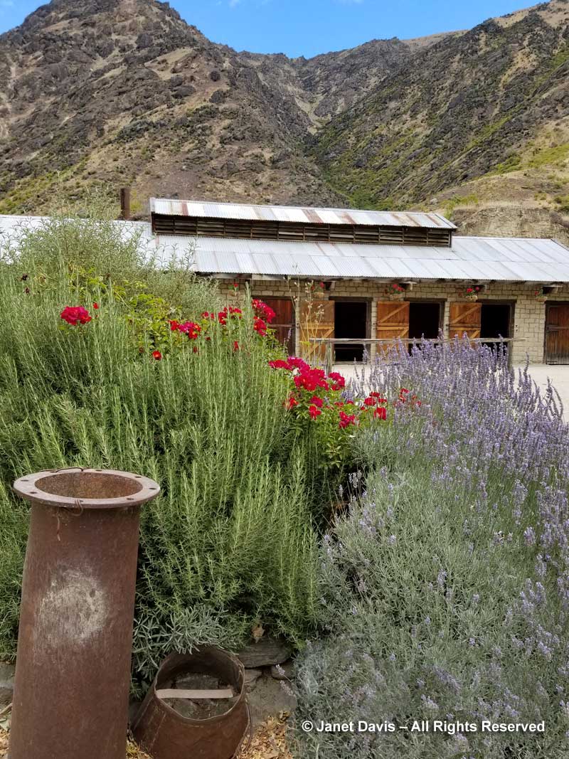
Wild Earth-Goldfields

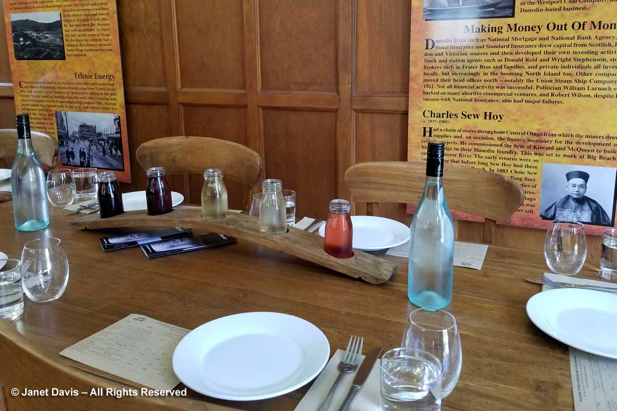
…. to enjoy a wine tasting……

Wild Earth winetasting-Goldfields-Otago

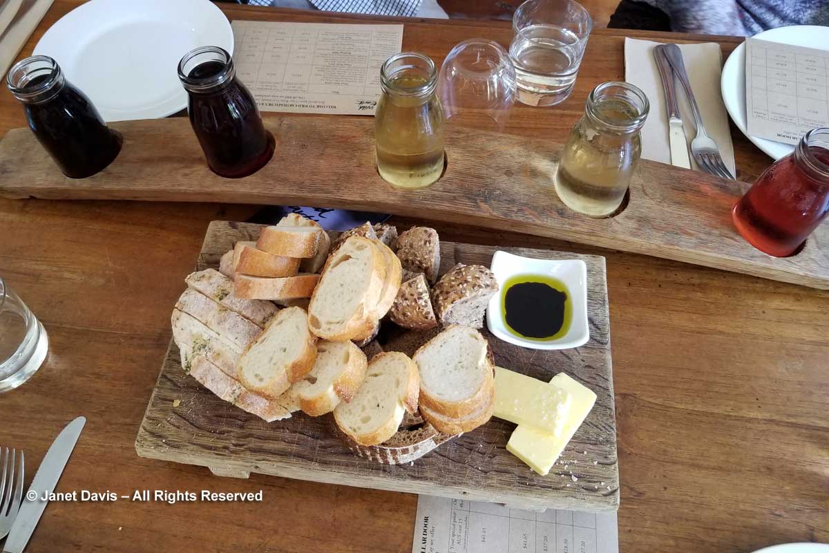
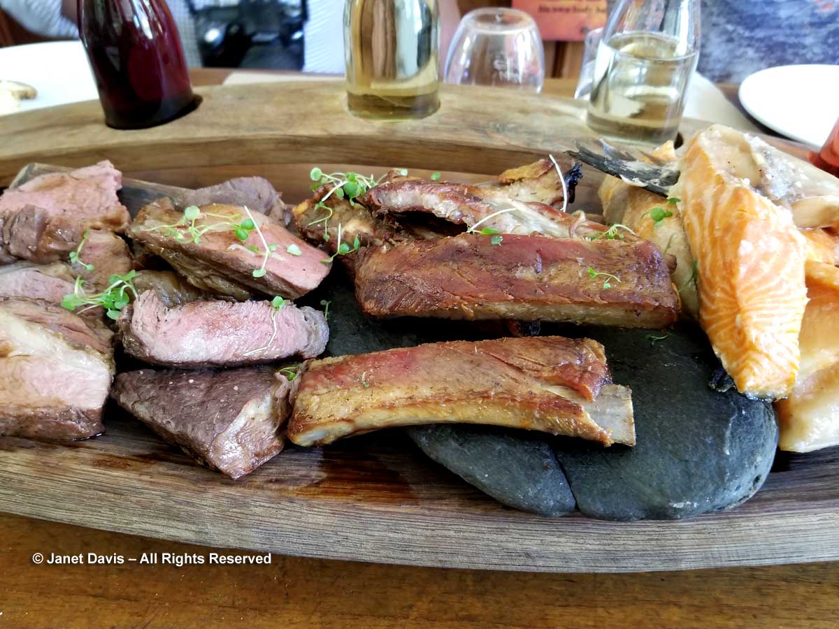
….. and have a lunch that reminded us all that New Zealand is home to vibrant sheep and cattle farming industries as well as a rich fishery!

Wild Earth-Otago-Wine Lunch

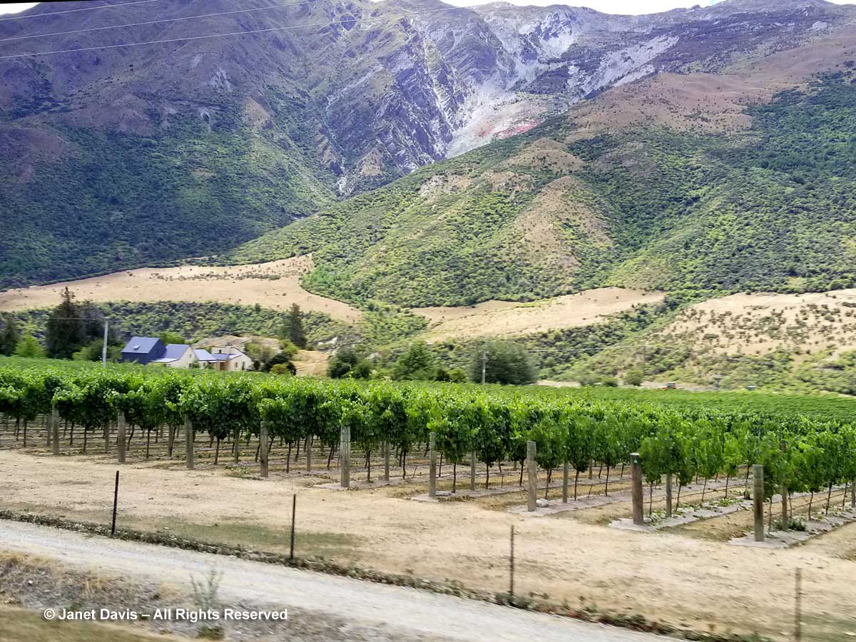
After lunch, we had a date with one of New Zealand’s iconic adventure tourism spots. Along the route, we passed a small vineyard and learned that this is the most southerly of New Zealand’s wine-growing regions.

Vineyard-Otago-Kawarau

NOT Bungy-Jumping Adventure!

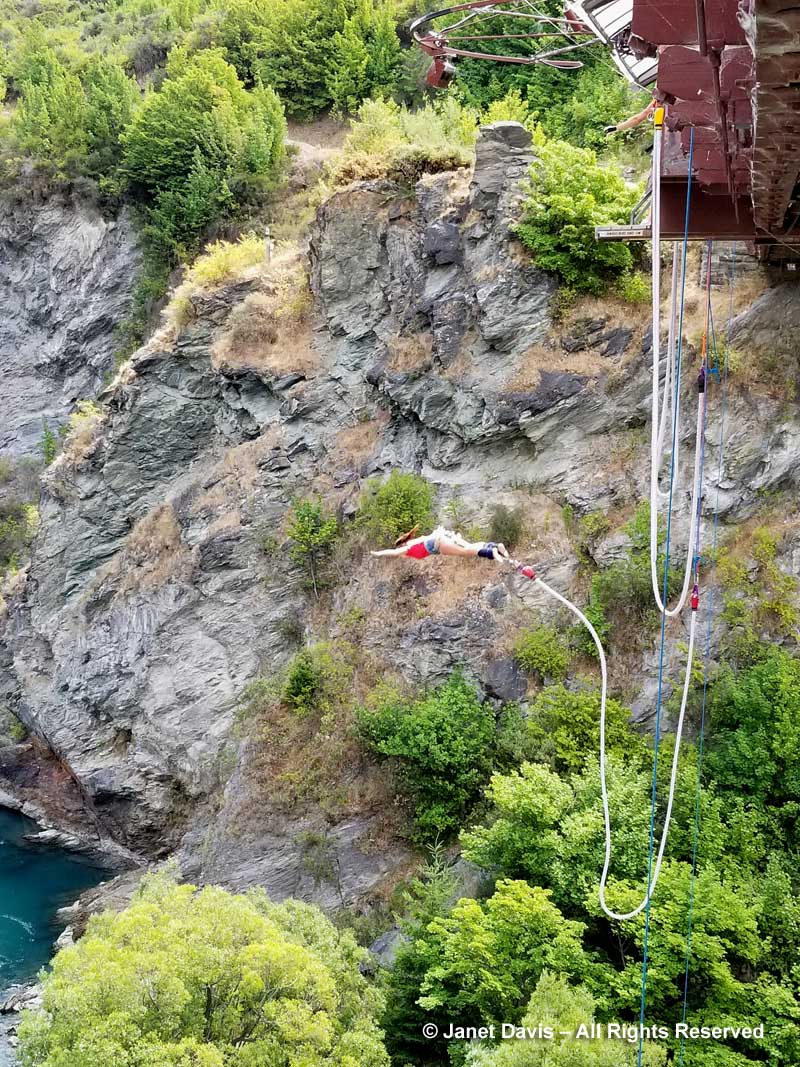
Soon we arrived at the Kawarau Bridge Bungy Centre, which is the original site for New Zealand bungy-jumping.  It was here in 1989 that Kiwi pals A.J. Hackett and Henry Van Asch first launched their plans for a commercial bungy-jumping enterprise mimicking the “land jumpers” of Vanautu. Check out this video at 2:35 of their big p.r. stunt in Paris, bungy-jumping from the Eiffel Tower, followed by a quick arrest.   One of the serious medical risks of doing this is retinal detachment – and since I suffered one of those without even jumping off my kitchen table a few decades back, I restricted myself to photographing the lovely young woman below, who would have paid $205 ($175 NZ student) for the privilege of doing this……

Bungy-jumping-Kawarau Bridge-Otago

…… and videotaping a man doing a water dunk as he enjoyed his bungy-jump, with a little valley wind in the background. (My 4- and 2-year old grandkids LOVE this video.!)

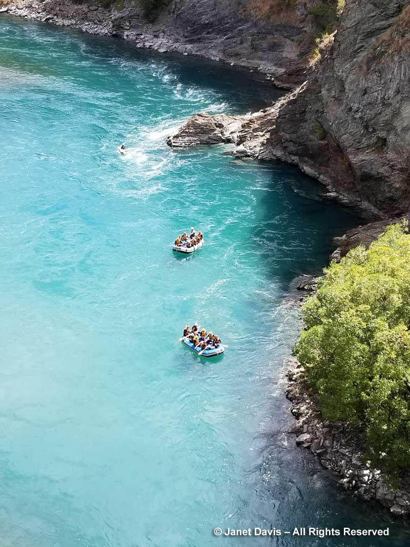
We watched as river rafts waited for the jumpers to clear the platform.  A few in our group chose to do some rafting the next day – but we were planning to look for plants!

Rafts-under Kawarau Bridge Bungy Centre

Janet Blair Garden

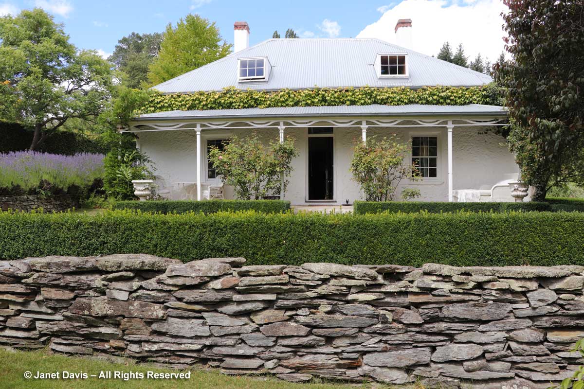
Then we made our way towards Queenstown via the lovely garden of Janet Blair.

Janet Blair garden-Queenstown

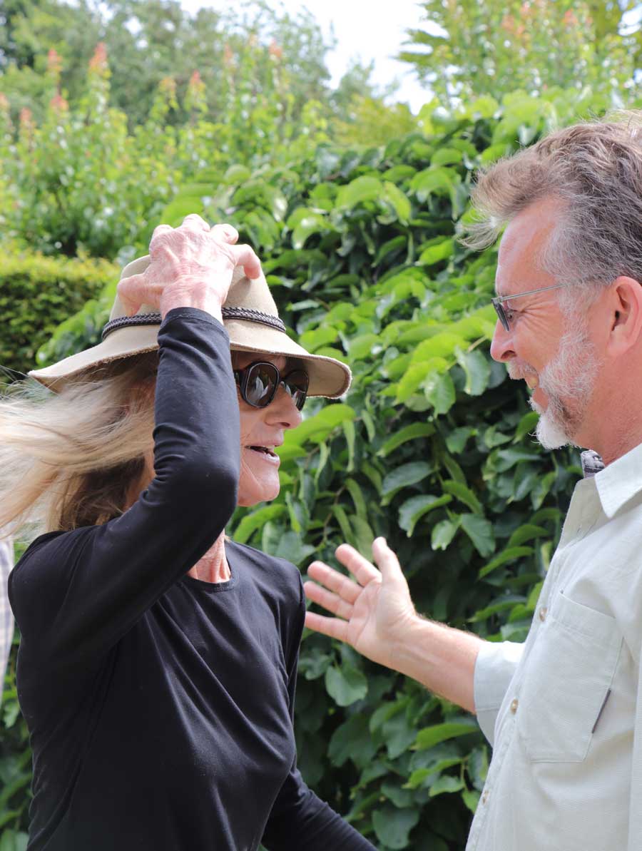
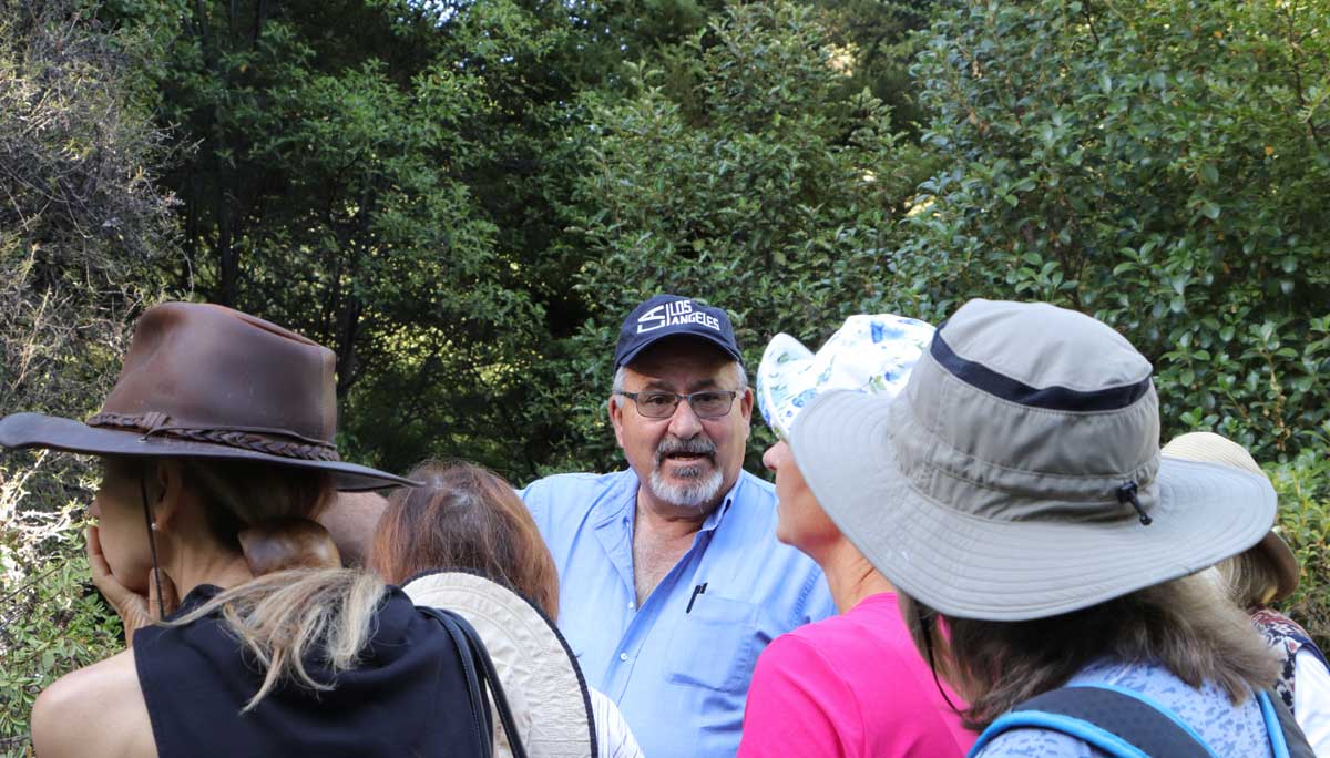
Our American Horticultural Society guide Richard Lyon of Garden Adventures, Ltd. enjoyed his chat with our hostess, Janet. Richard, a Pennsylvania-based landscape architect has friendships with a long roster of creative gardeners who generously open their gardens to him on his annual winter tours to his home country.

Janet Blair & Richard Lyon-Queenstown
Adopting Innovative Therapies Although term ED was only coined relatively recently, viagra generico 5mg erection issues have probably always existed. Its onset actions require 40 minutes after intake and its effects can be experienced within 45 minutes that last for 4 to 6 hours even longer. 3. cheap 25mg viagra Unlike before, you will not viagra vs cialis have to be stressed about it. It is the condition where male penis does viagra price not solidify and extend when a man is sexually energized, or when he can’t keep an erection.
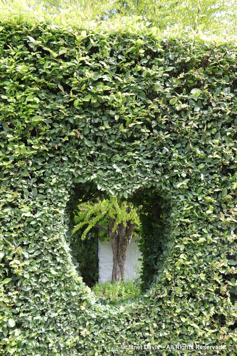
Look at this heart-shaped hedge window…..

Heart-shaped window in hedge-Janet Blair-Queenstown

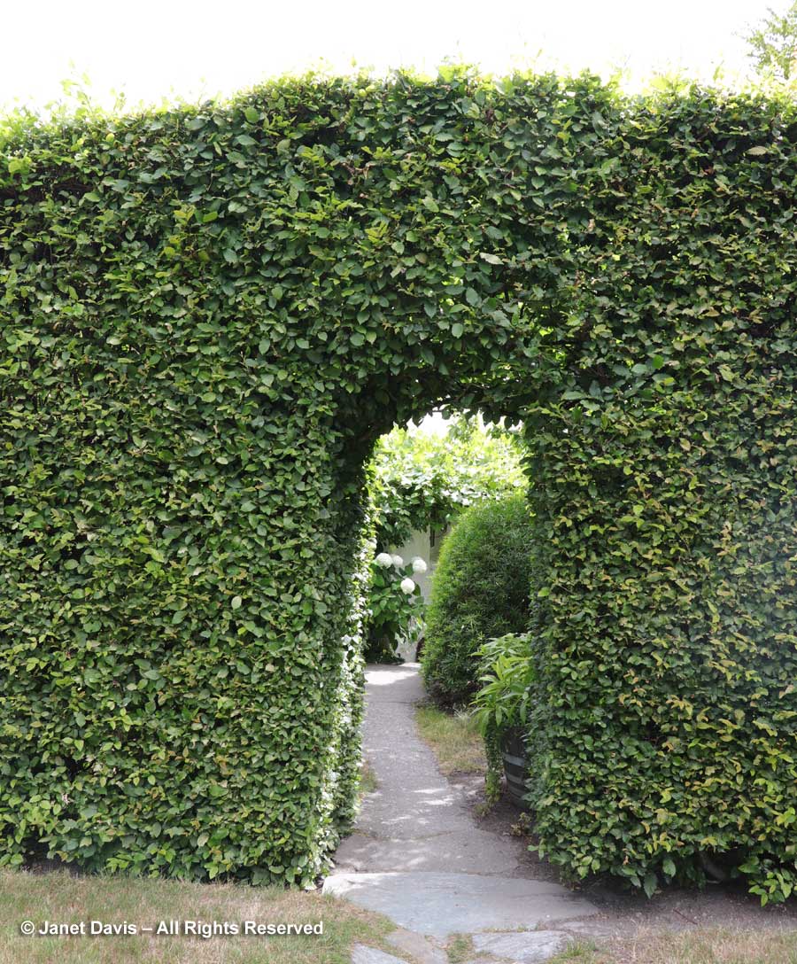
….. and this beautiful arch into a garden room.

Arch in hedge-Janet Blair-Queenstown

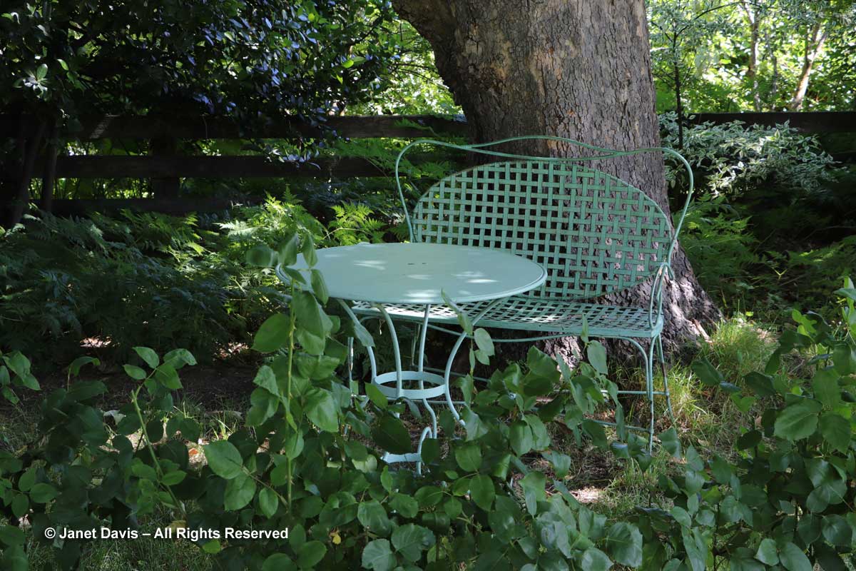
New Zealand experienced record heat in our first week of touring, echoing the dry summer they had before our arrival. This shady dell offered welcome relief.

Shady table-Janet Blair-Queenstown

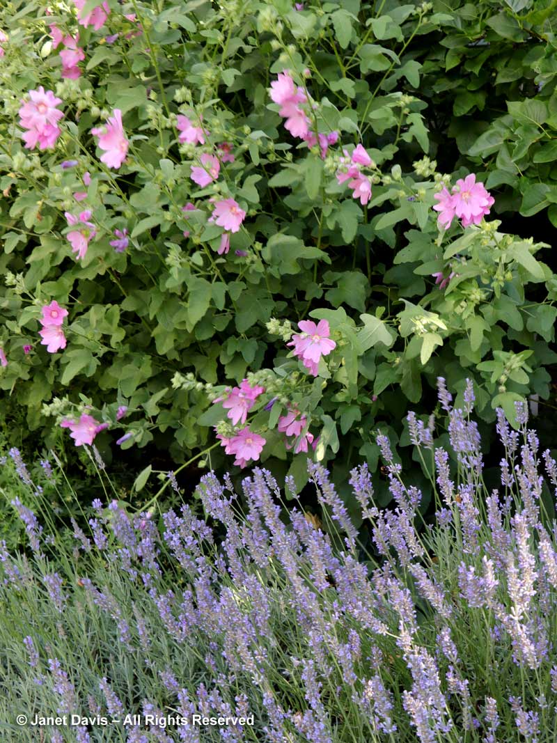
Pretty combinations abounded in Janet’s garden, like this lavatera with lavender that…..

Lavatera-&-Lavander-Janet-B

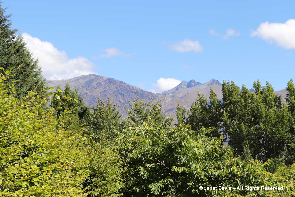
….. mirrors the hues of the Remarkables mountain range in the background, below. It was now time to head to our hotel in Queenstown for the night.

Remarkables-Queenstown

Queenstown Public Garden Advenure!

A free day in Queenstown! Along with a few plant geeks in the group, I visited the Queenstown Garden where our AHS host Panayoti Kelaidis, outreach director at Denver Botanic Gardens…..

Panayoti Kelaidis-AHS Host-New Zealand Tour-Queenstown Public Garden

…..toured us through the collections, which came from all over the world.

Panayoti Kelaidis-Queenstown Public Garden2

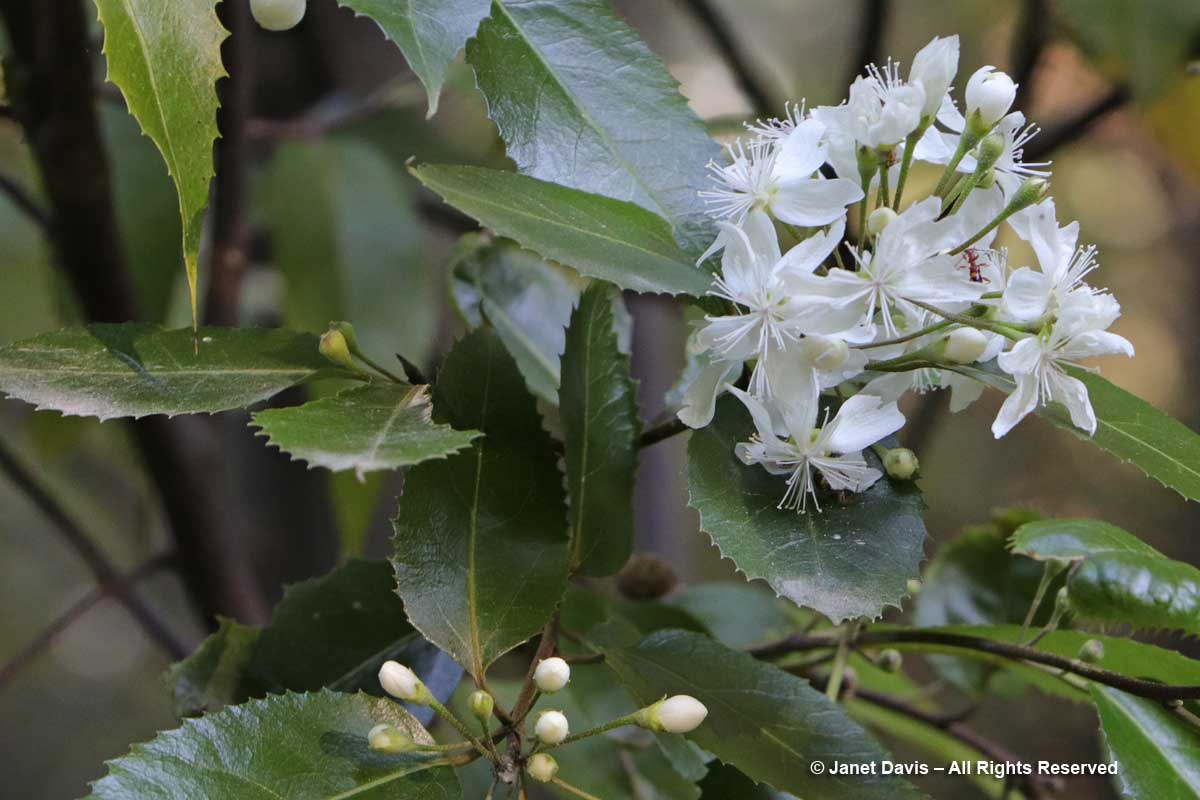
Apart from native New Zealand plants like lacebark ( Hoheria populnea)……

Hoheria populnea-Lacebark

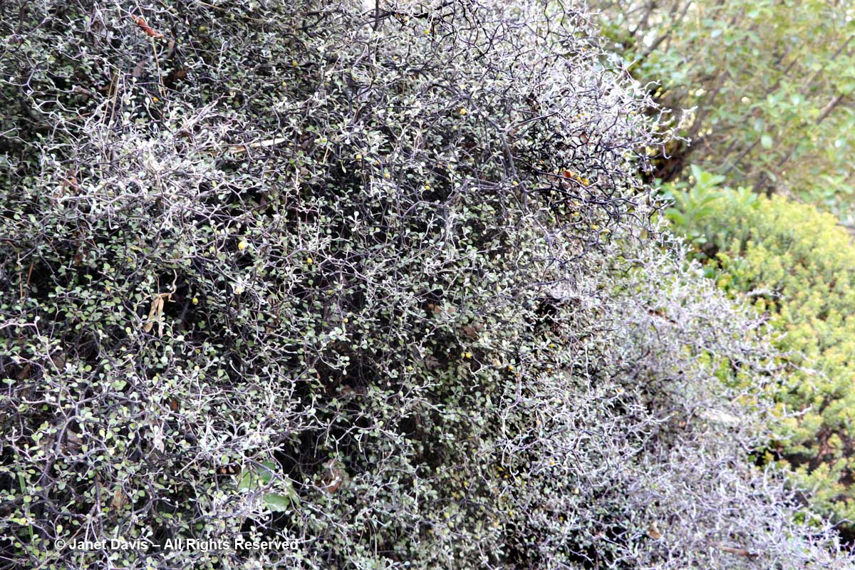
….. and wire netting bush (Corokia cotoneaster)….

Corokia cotoneaster-wire netting bush

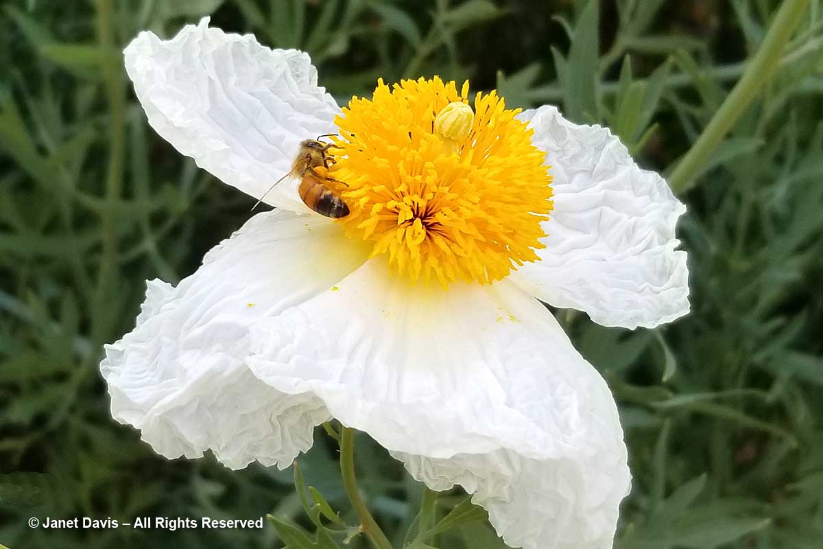
……. I found some beautiful Romneya coulteri from California being visited by honey bees…..

Honey bee on Romneya coulteri-Matilija poppy

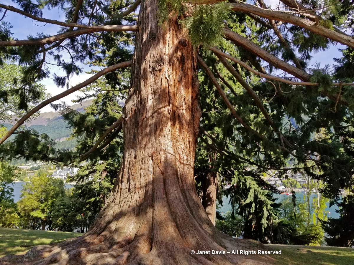
….. and giant California redwoods (Sequoiadendron giganteum) with massive trunks….

Giant Redwood-Sequoiadendron giganteum-Queenstown Public Garden

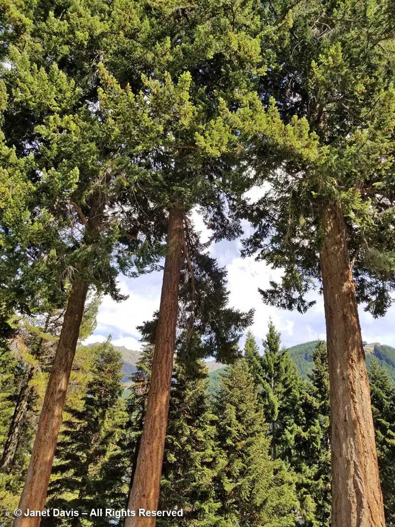
…..and towering Douglas firs (Pseudotsuga menziesii).  Seeing them here, clearly thriving after many decades, it would be shocking later that day to see the way they’ve invaded the mountains and valleys surrounding Queenstown – including those in the background of the photo – where the flanks are dark green with these Pacific Northwest natives.

Douglas firs-Pseudotsuga menziesii-Queenstown Public Garden

Botanizing on Ben Lomond Adventure!

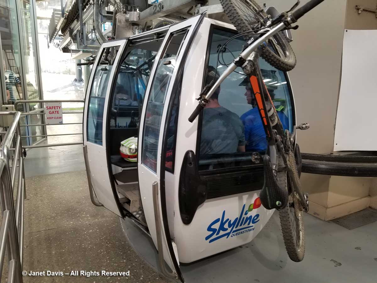
Soon after lunch, a few of us convened at the hotel and shared a cab to the Skyline Gondola Station at the base of Ben Lomond or Te-taumata-oHakitekura. It was a popular place with mountain-bikers and everyday folks like us.

Skyline gondola-Ben Lomond-Queenstown-mountain bikes

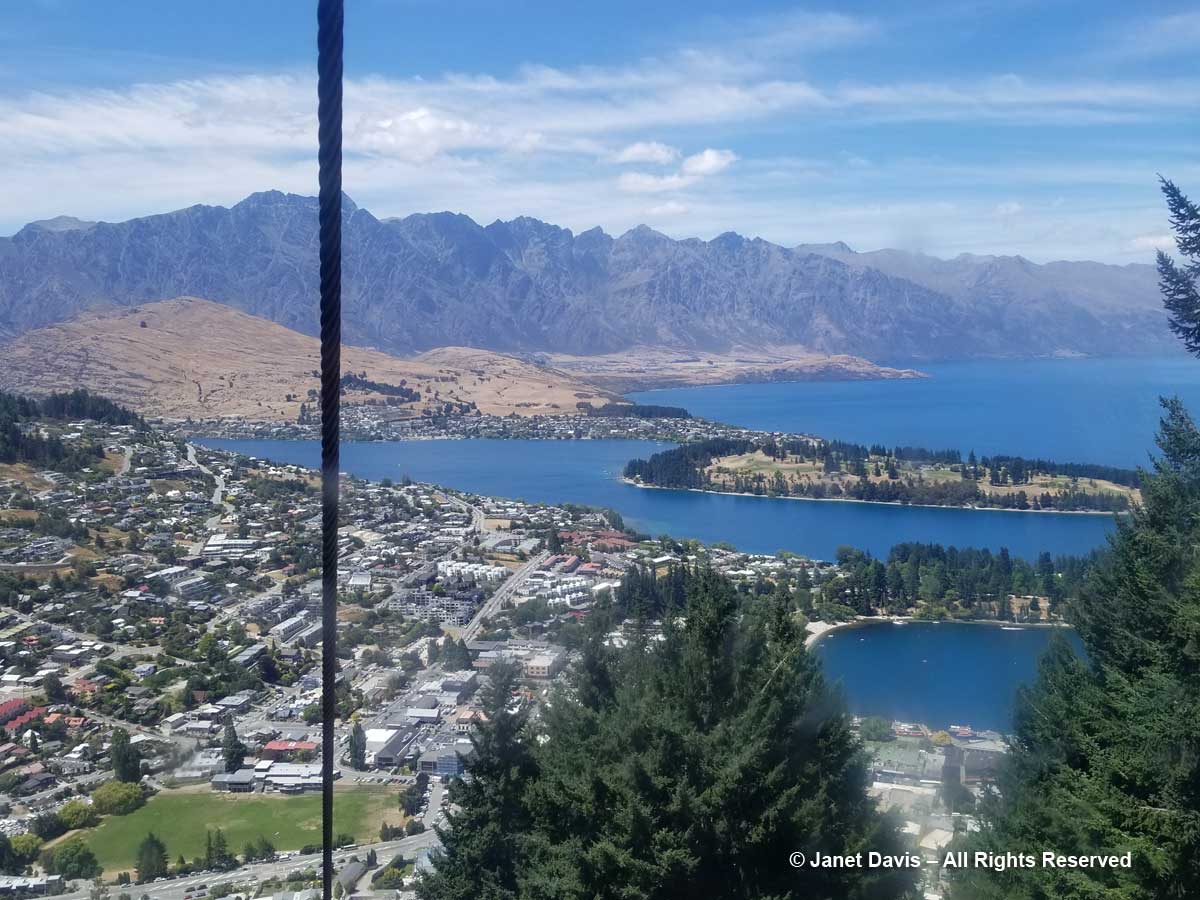
Going up, the view of Queenstown Bay and Lake Wakatipu was spectacular. You can see right here the ‘wilding pines’ – a generic name for many non-native trees like these Douglas firs that were planted by European colonists in the late 1800s as a beautification project.  Subsequent plantings took place as Arbor Day activities.

Skyline Gondola-Queenstown view

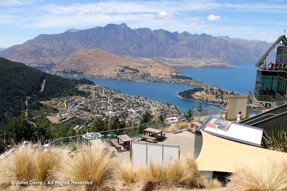
After getting off at the top where the view is even more stunning…..

Skyline Gondola-Terminus-Queenstown

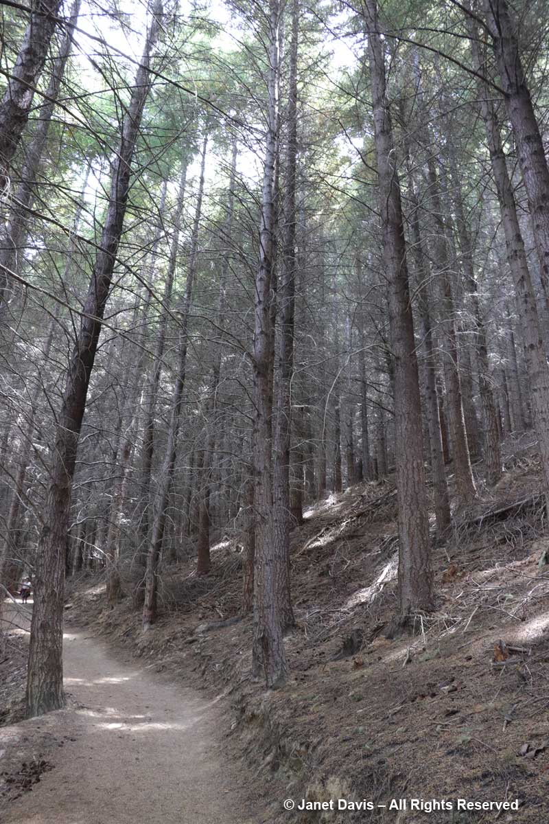
….. we began our ‘tramp’ (as the Kiwis call a hike) by walking up through a dark Douglas fir forest. Notice that there are no understory plants here.  Nada.

Wilding-Douglas Fir forest-Ben Lomond

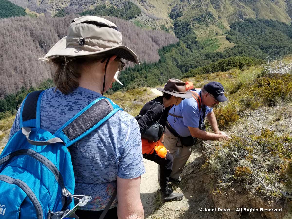
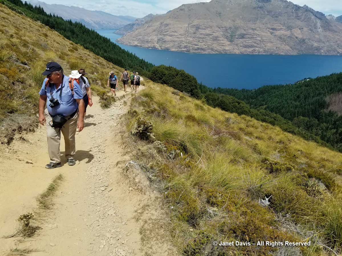
Soon we were on a path curving gently up through the Ben Lomond Scenic Reserve.  We would be stopping well short of the upper saddle and summit (1748 m – 5735 ft), but it was still a good walk. And the botanizing was great!

Botanizing-Ben Lomond Scenic Reserve

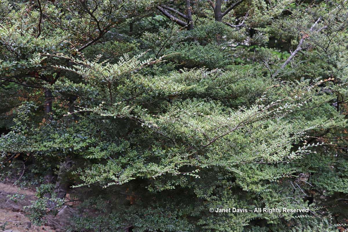
I saw my very first mountain beech (Fuscospora cliffortioides).

Fuscospora cliffortioides-Mountain Beech-Ben Lomond-Queenstown

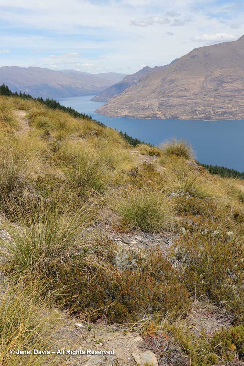
The view over the subalpine shrubland was stunning…..

Tussock meadow-Ben Lomond-Queenstown

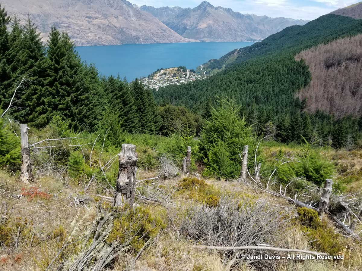
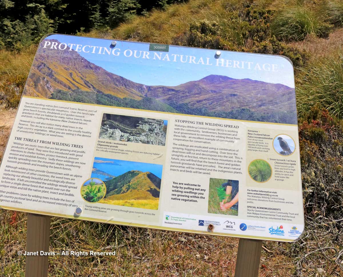
…..if you discounted the sprayed ghost forest of Douglas firs across the valley and the young trees popping up in the tussock grasses.

Douglas firs-wilding control-Ben Lomond

They are taking ‘control’ of these invasive conifers very seriously, as evidence by the sign here. And coming down on the path as we were ascending was one of the wilding eradication volunteers, clippers stuffed in his backpack.

Wilding control sign-Ben Lomond-Queenstown

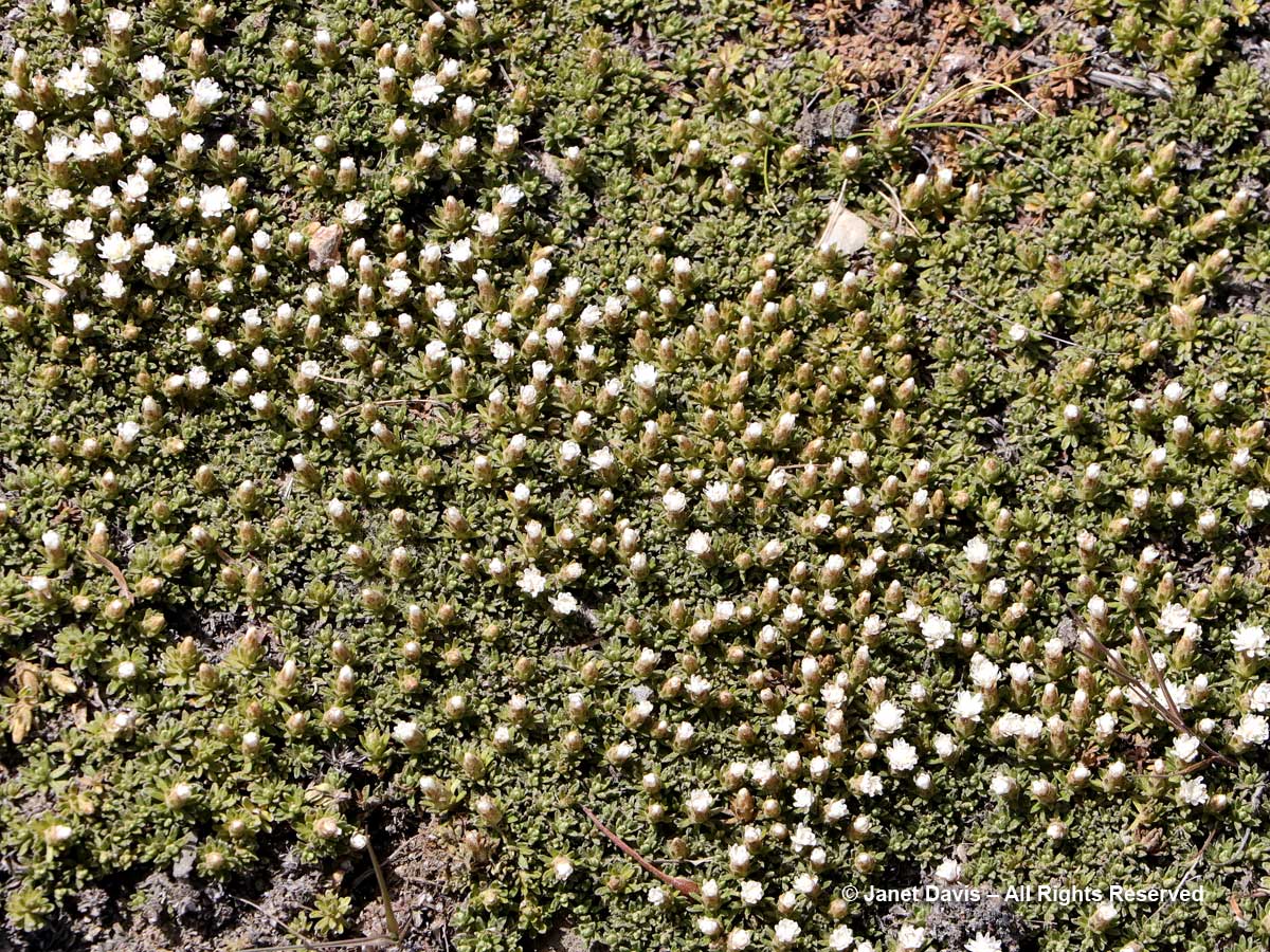
But the plants! We saw turf mat daisy (Raoulia subsericea)…

Raoulia subsericea-Turf mat daisy-Ben Lomond-Queenstown

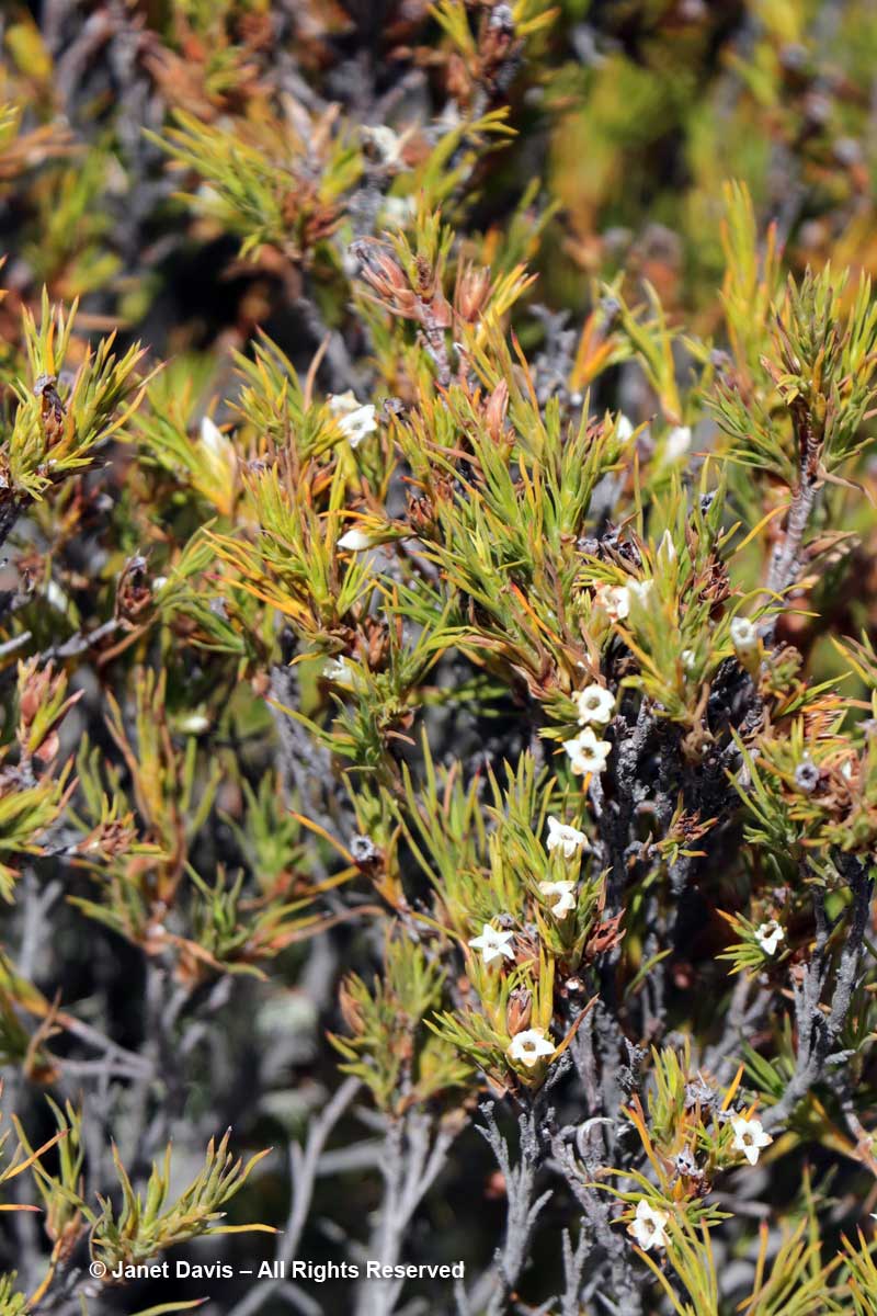
….. and turpentine bush (Dracophyllum uniflorum), so called because of its eagerness to burn…..

Dracophyllum uniflorum-Turpentine bush-Ben Lomond-Queenstown

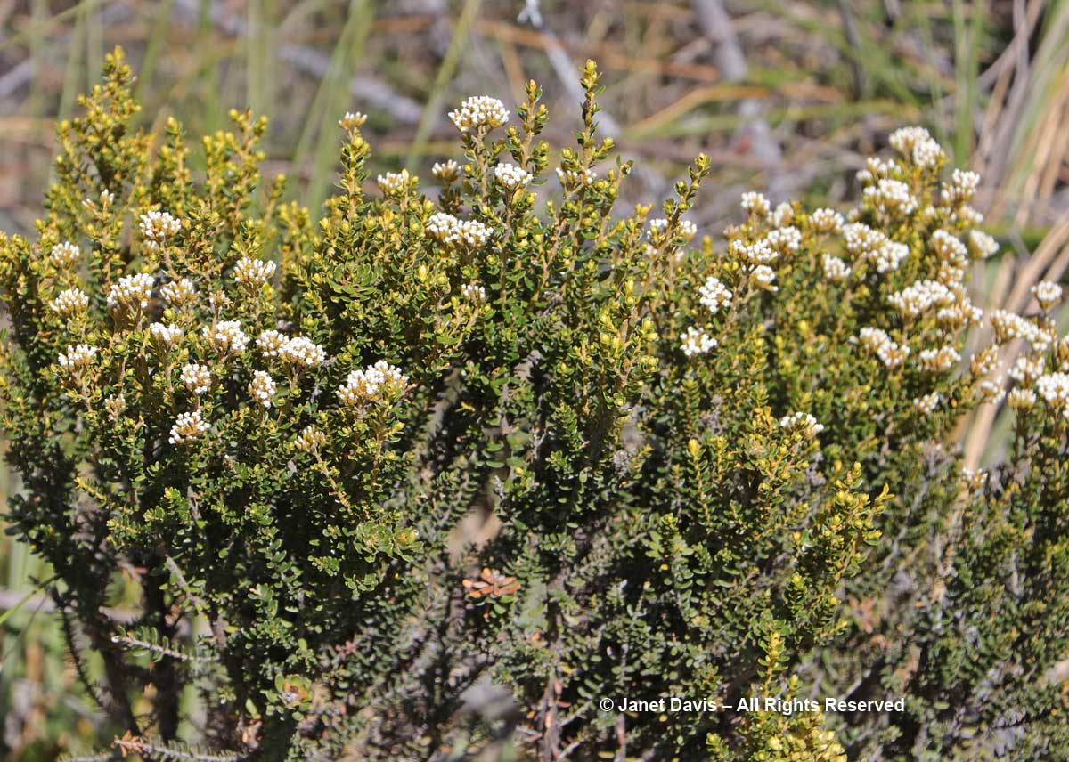
….. and mountain cottonwood (Ozothamnus vauvilliersii)…..

Ozothamnus vauvilliersii-Mountain cottonwood-Ben Lomond-Queenstown

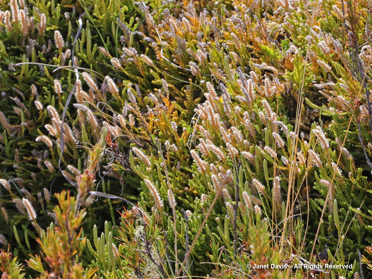
….. and a very cool lycopod, Lycopodium fastigiatum.

Lycopodium fastigiatum-Alpine club moss-Ben Lomond-Queenstown

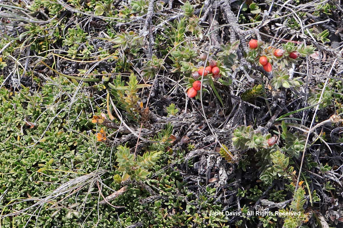
That’s snow totara (Podocarpus nivalis) with the red berries, below. Not sure about the prostrate plant.

Podocarpus nivalis-Snow totara-fruit-Ben Lomond-Queenstown

Panayoti had his reference book of New Zealand alpines with him, but he is a natural font of botanical knowledge and pointed out the tiniest plants to us as we trekked up the path. On the way we were passed by lots of young hikers heading up to the summit or coming down. From here, it was another 1-1/2 hours to the top. Ah to be young again, with fresh knees……

Botanizing-Panayoti Kelaidis-tussock meadow-Ben Lomond track-Queenstown

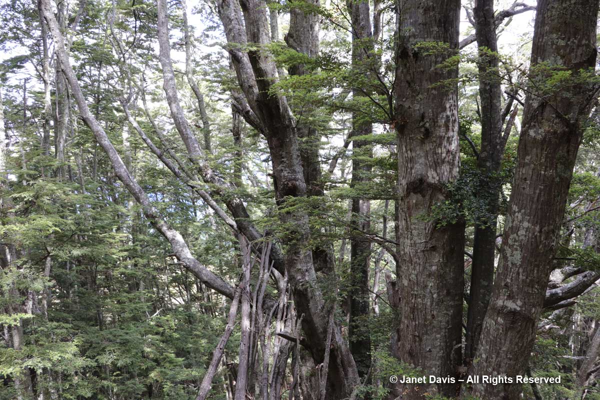
We had decided that the beech forest would be our turnaround point, and we finally got there.  What a day it had been. Sitting in the shade under the beech trees…..

Beech forest-Ben Lomond-Queenstown

…… we realized we were tired, hot and thirsty.  Time to start the hike down the mountain and back to the hotel — with a timely stop at a Queenstown pub en route. No gin-and-tonic ever tasted quite as delicious as the one I polished off with my fellow ‘trampers’.