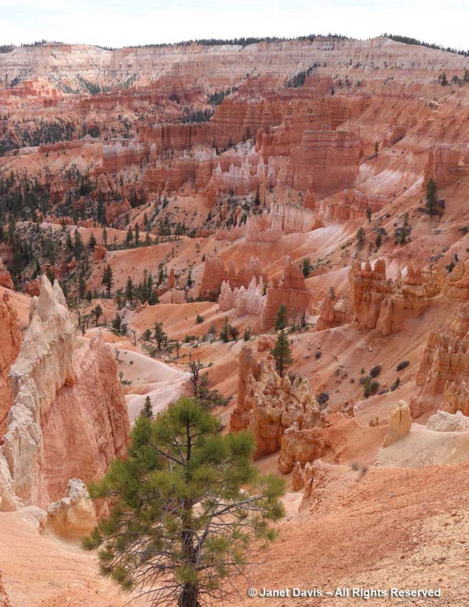
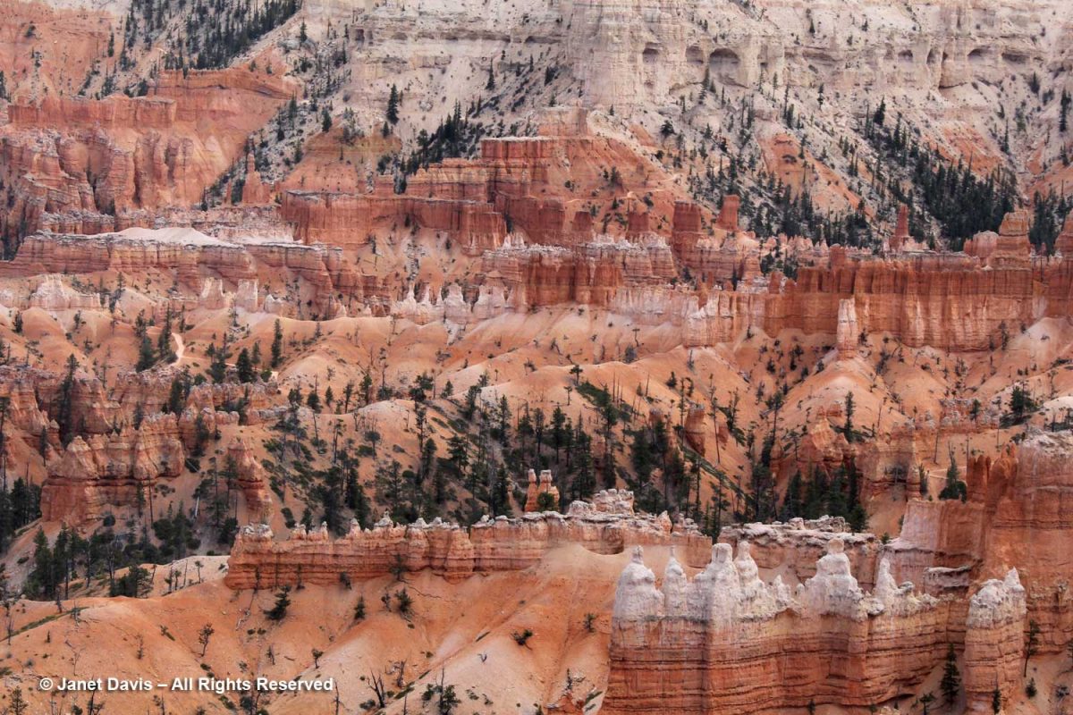
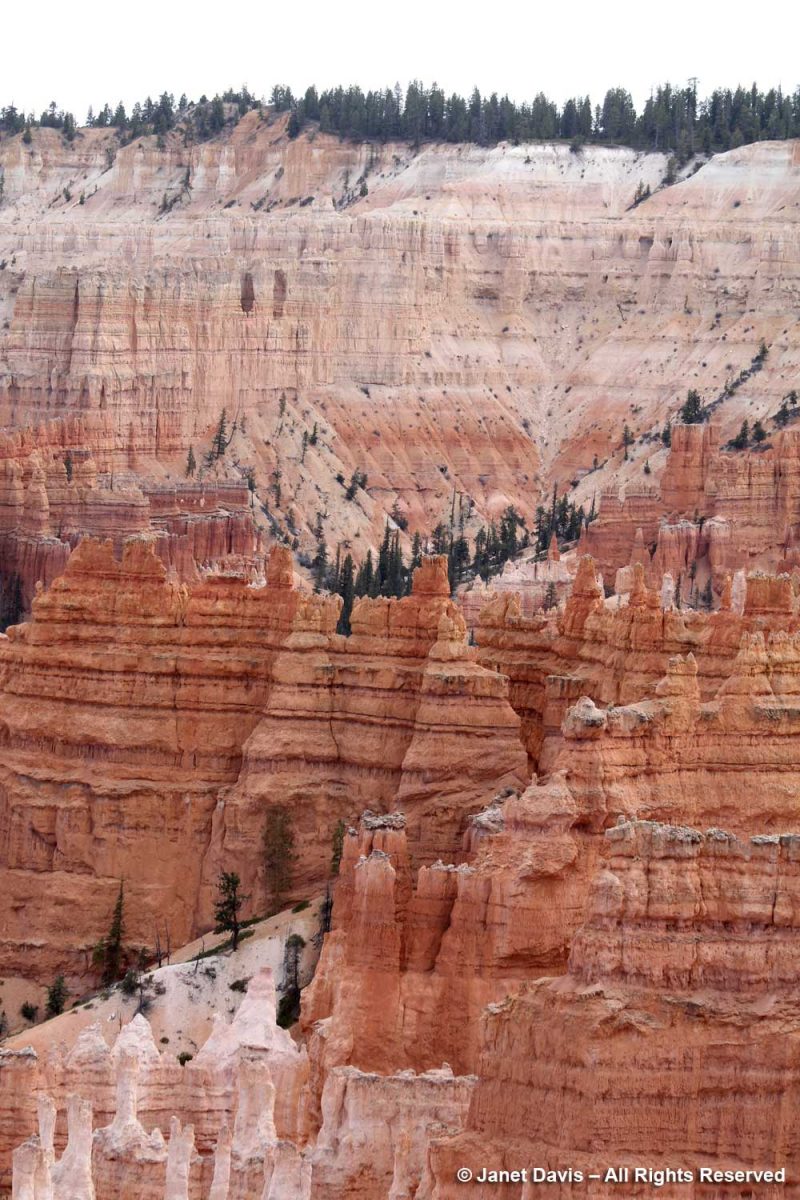
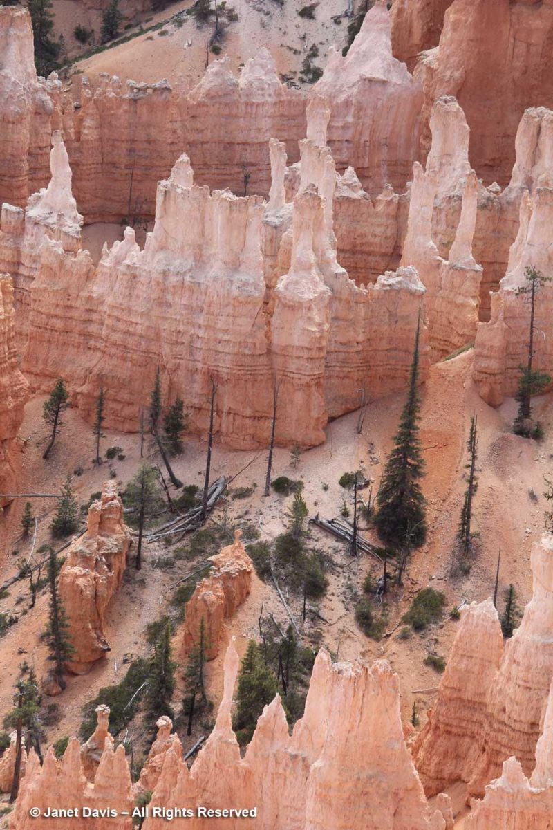
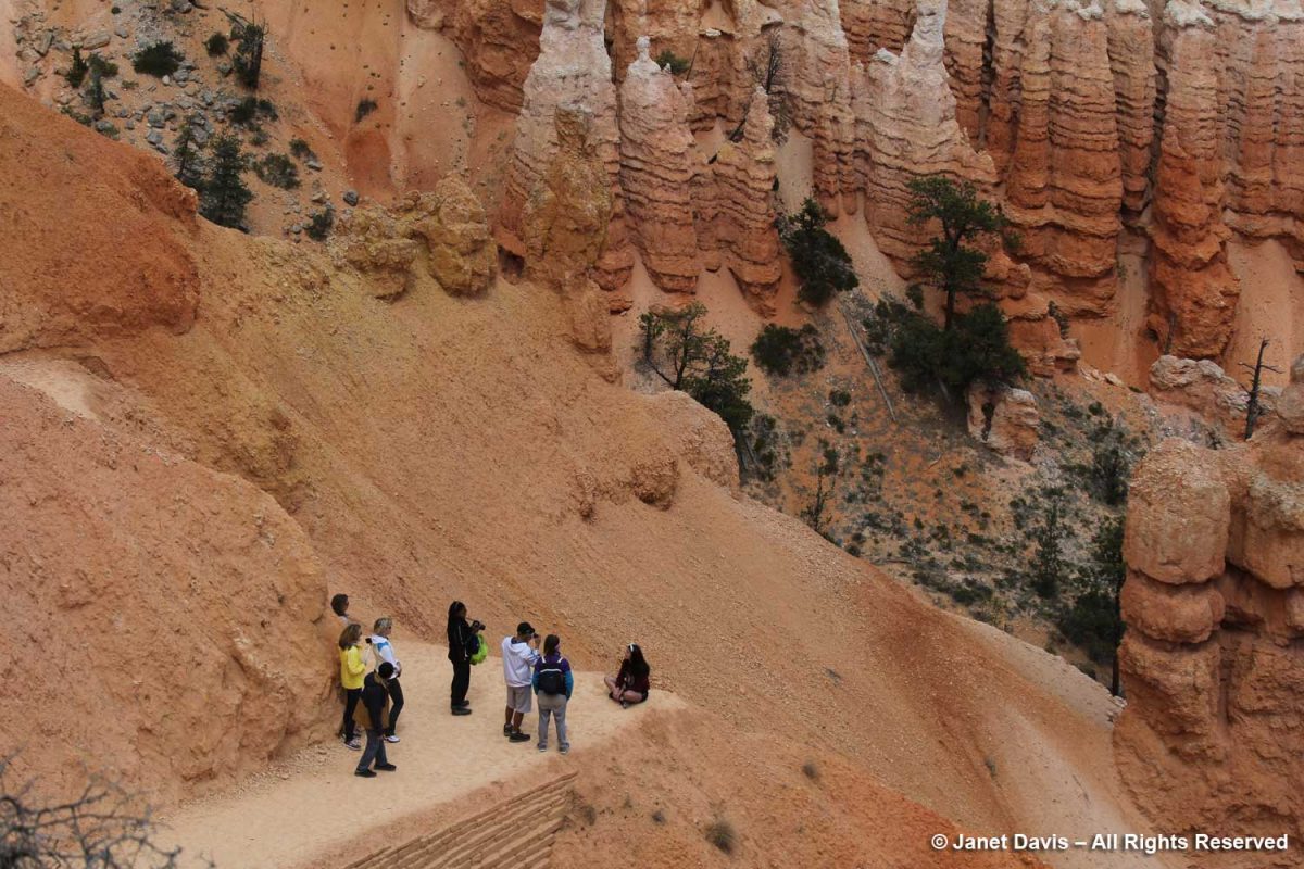
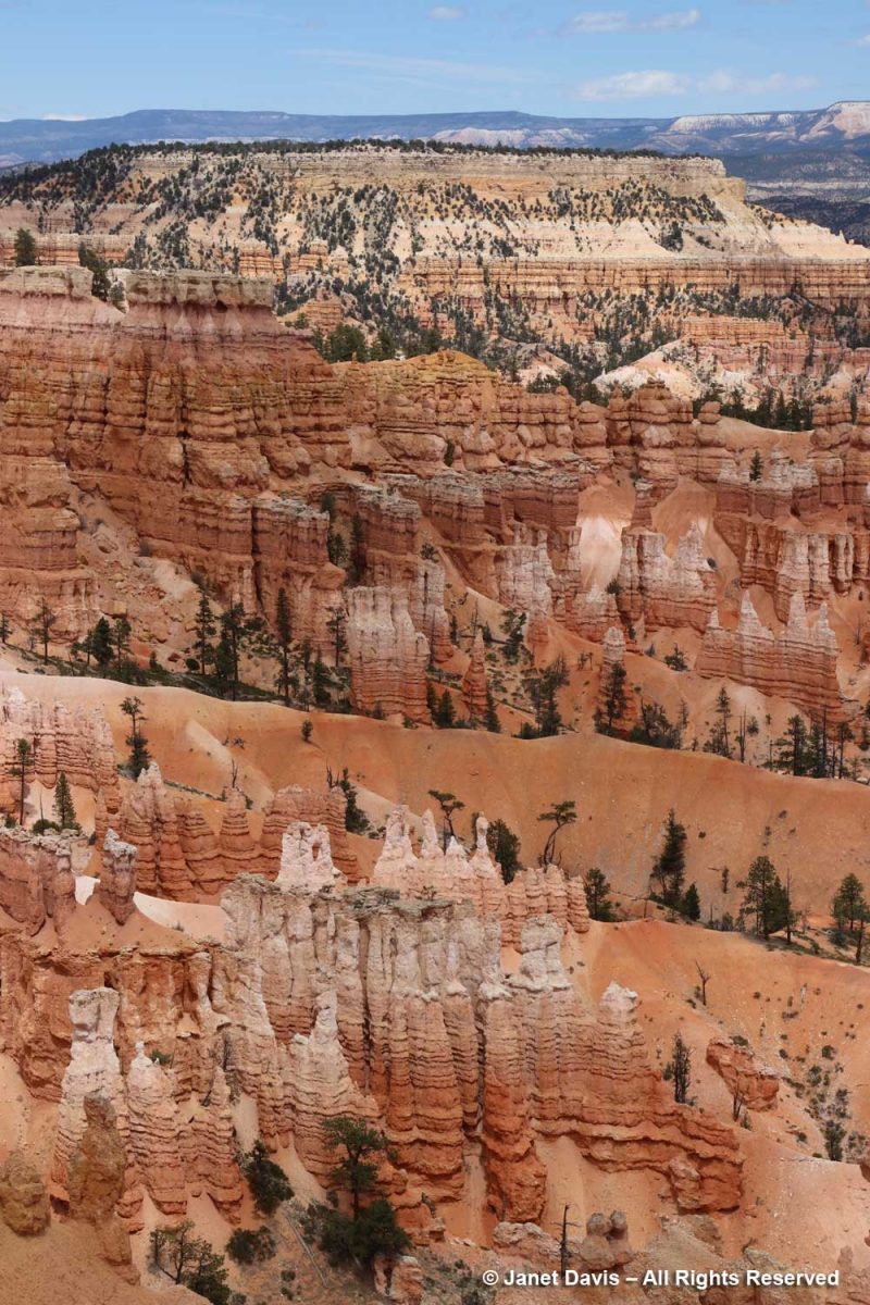
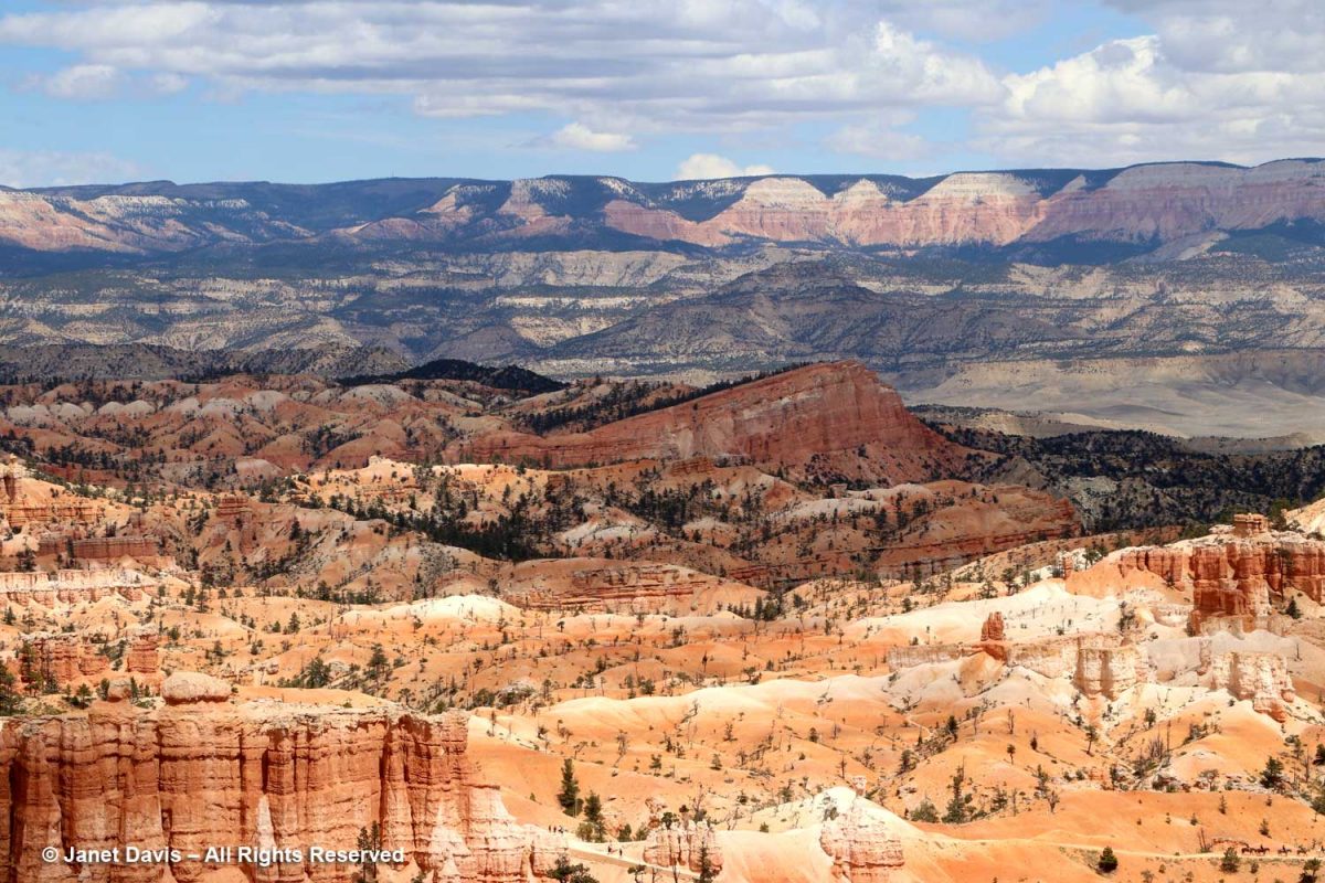
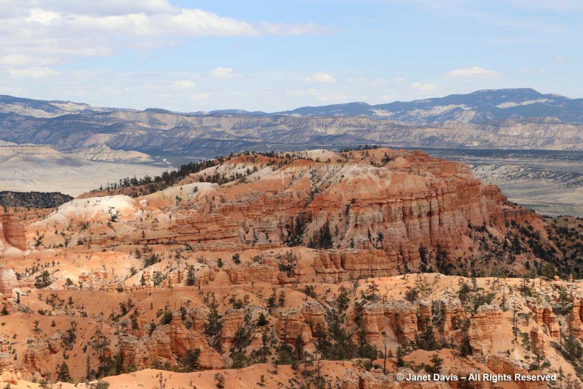
Zion National Park

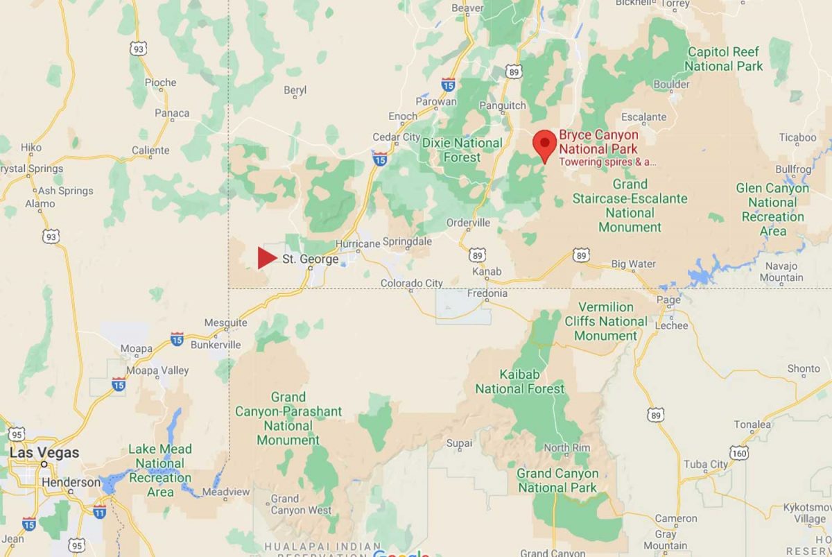
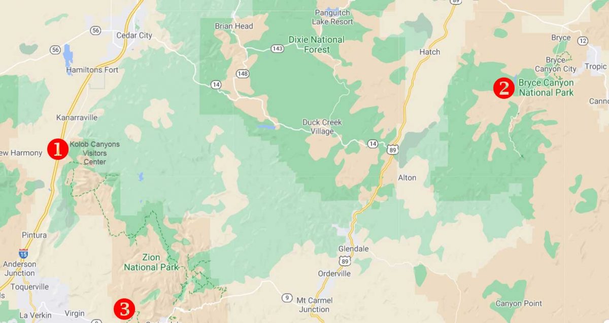
After finishing our breakfast at Ruby’s Inn the morning after our spectacular visit to Bryce Canyon National Park (my last blog), we headed southwest on Highway 89 to Zion National Park. I explained in my previous blog that we made a brief stop on the previous day’s journey from St. George, Utah to Bryce at the most westerly part of Zion, the Kolob Canyons Visitor’s Center, which is accessed from Highway 15. I’ve marked that with a #1 on the map below. Then we headed back on the highway to Bryce at #2.  Our second day took us to Zion at #3, before heading back to St. George.
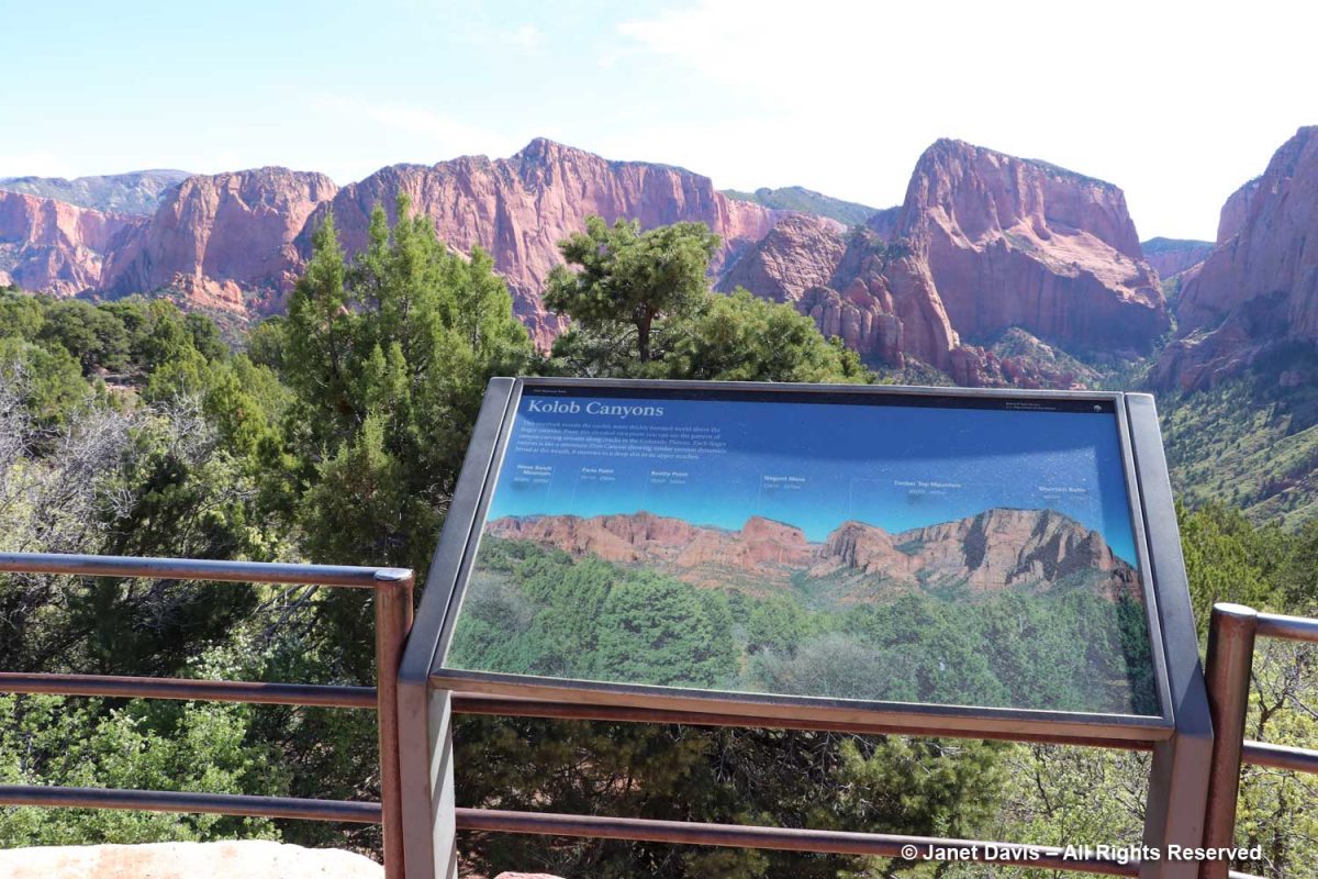
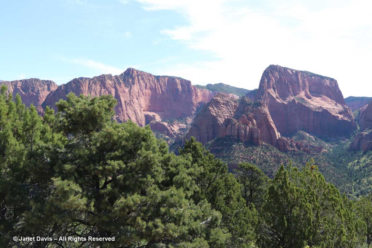
Kolob Canyons was interesting and gave us our first look at the Navajo Sandstone formation that comprises most of Zion. The sign says: This overlook reveals the cooler, more thickly forested world above the finger canyons. From this elevated viewpoint you can see the pattern of canyon-carving streams along cracks in the Colorado Plateau. Each finger canyon is like a miniature Zion Canyon showing similar erosion dynamics: broad at the mouth, it narrows to a deep slot in its upper reaches. 
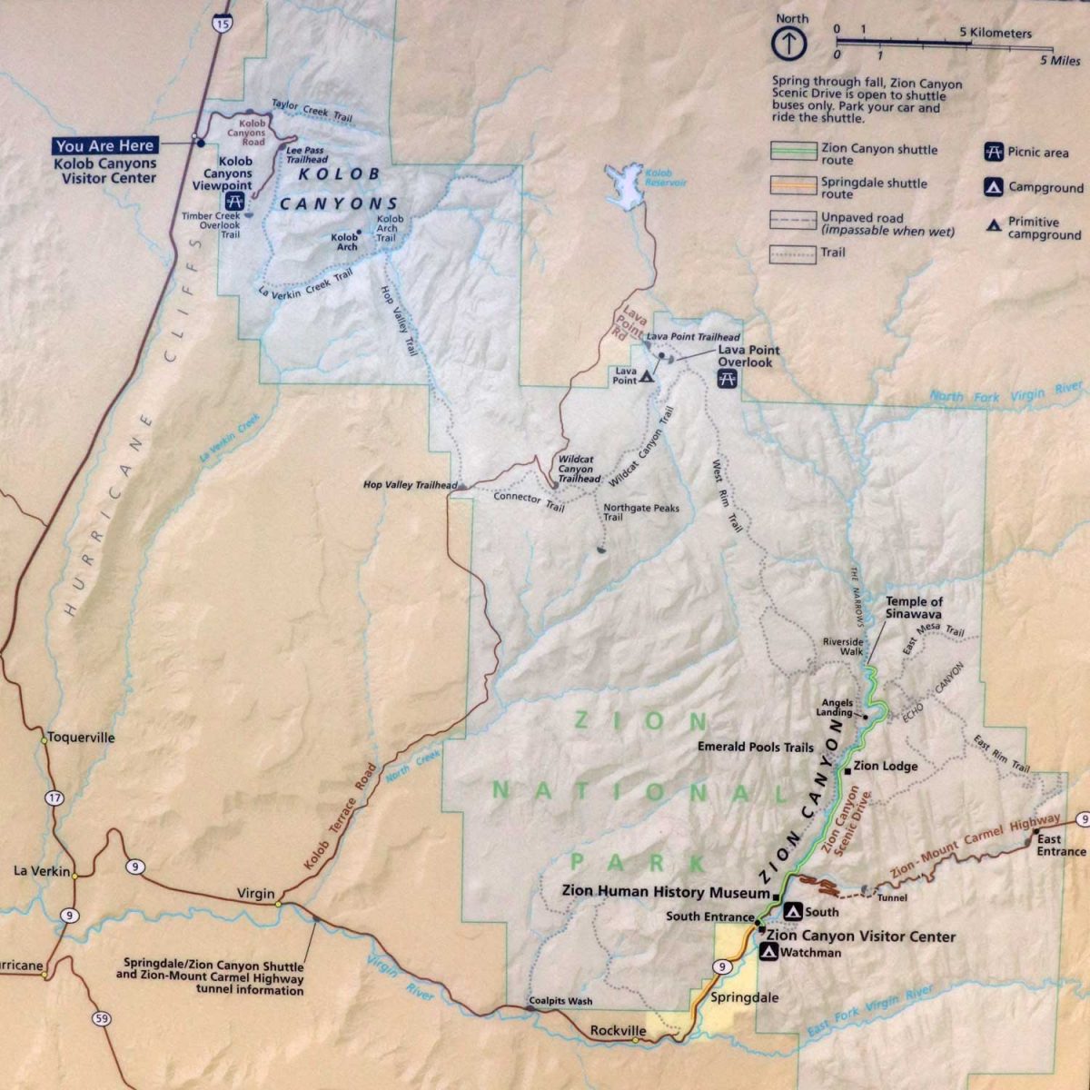
On the illustration below, you can see how widespread the two visitor areas of Zion are.
There were ponderosa pines in Kolob Canyon….
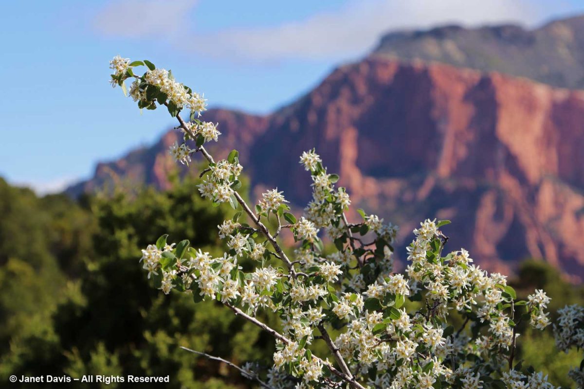
…. and Utah serviceberry (Amelanchier utahensis) was in full bloom on the 1st day of May.
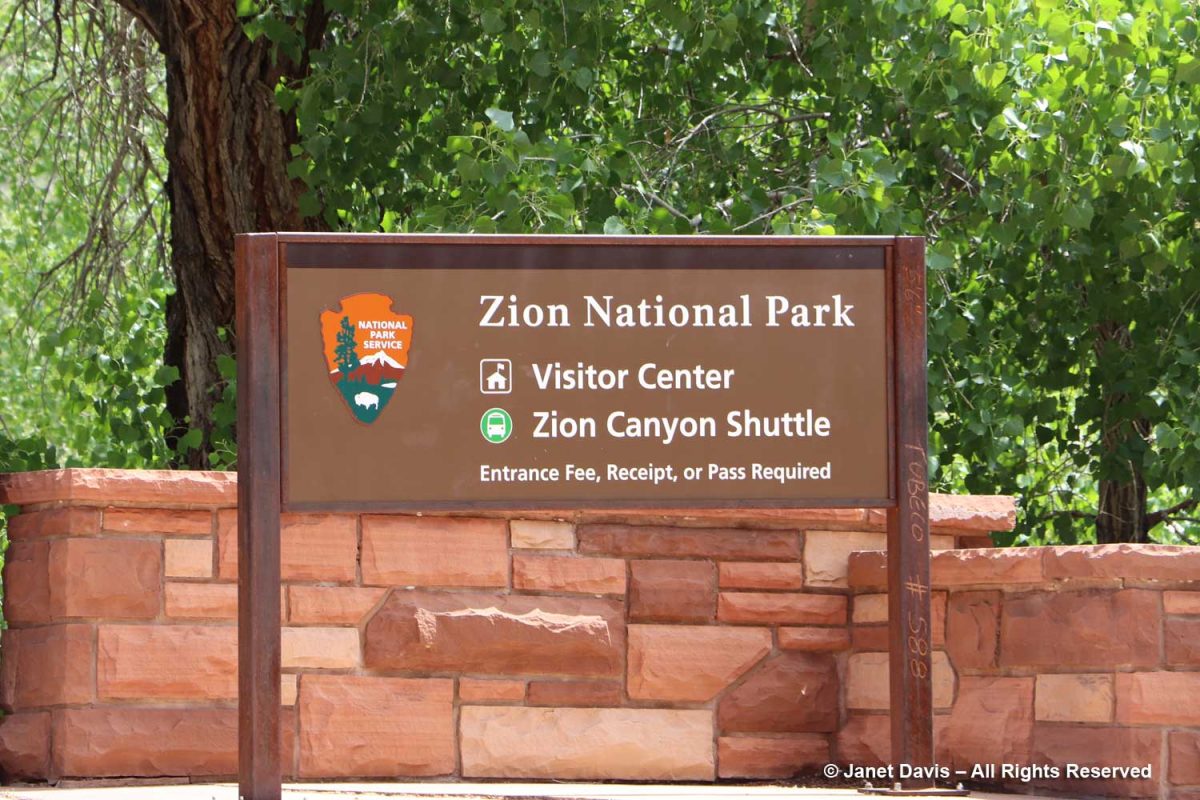
But the main attraction on day #2 was the principal south entrance to Zion Canyon.
We walked across the pedestrian bridge into the park….
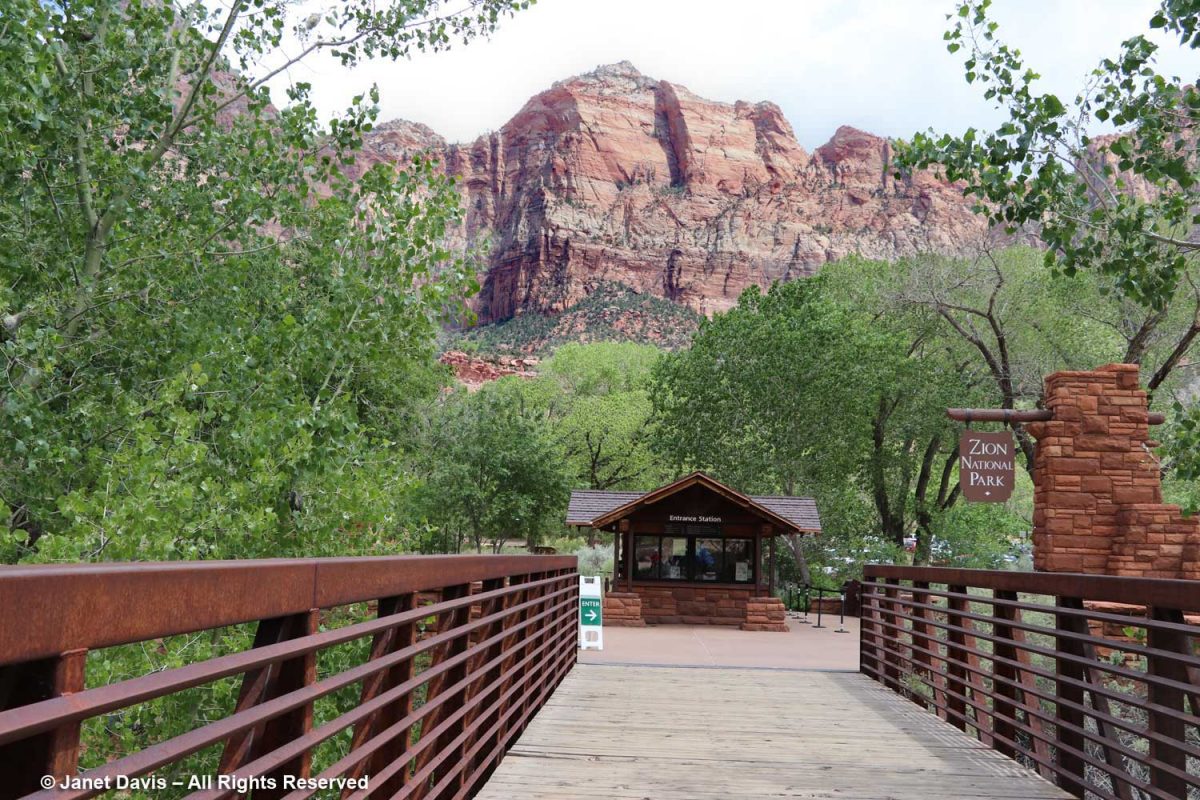
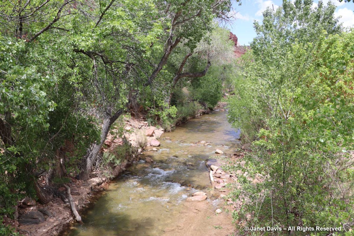
…. over the north fork of the Virgin River. It looks fairly tranquil below, but it has incredible power, especially in spring runoff, due to its steepness. In the 160 miles of its course, it drops 7,800 feet, i.e. 71 feet for every mile. That power has allowed it to carve the sandstone into canyons.
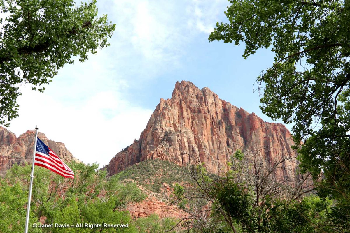
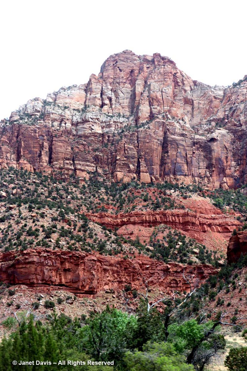
It’s tempting as you begin your walk or tram ride through Zion Canyon to look up at rugged peaks and think of them as mountains, but these are formations of early Jurassic (185-180 Ma) Navajo sandstone, in places 2,000 feet in depth, sculpted by erosion. Most were given names in the early 20th century; this one is the Watchman.
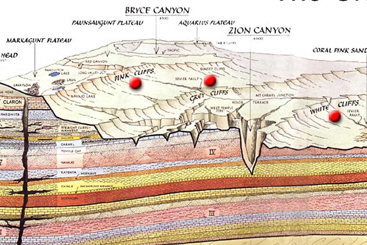
The graphic below, which I featured in my Bryce blog, shows the difference between the two parks. The Bryce amphitheatre with its thousands of hoodoos sits adjacent to the Paunsaugunt Plateau at around 8,300 feet, whereas Zion occupies a sandstone cleft in the earth surface.at 4,000 feet. I read that the youngest layer at Zion is the oldest layer at Bryce.
Because our time was fairly limited, we took a tram tour through the canyon. It passed various famous formations (and I’m thankful to Zion’s Brian Whitehead for helping me identify a few of them). The one at the top, below, is The Bee Hive, with The Sentinel at right, rear.
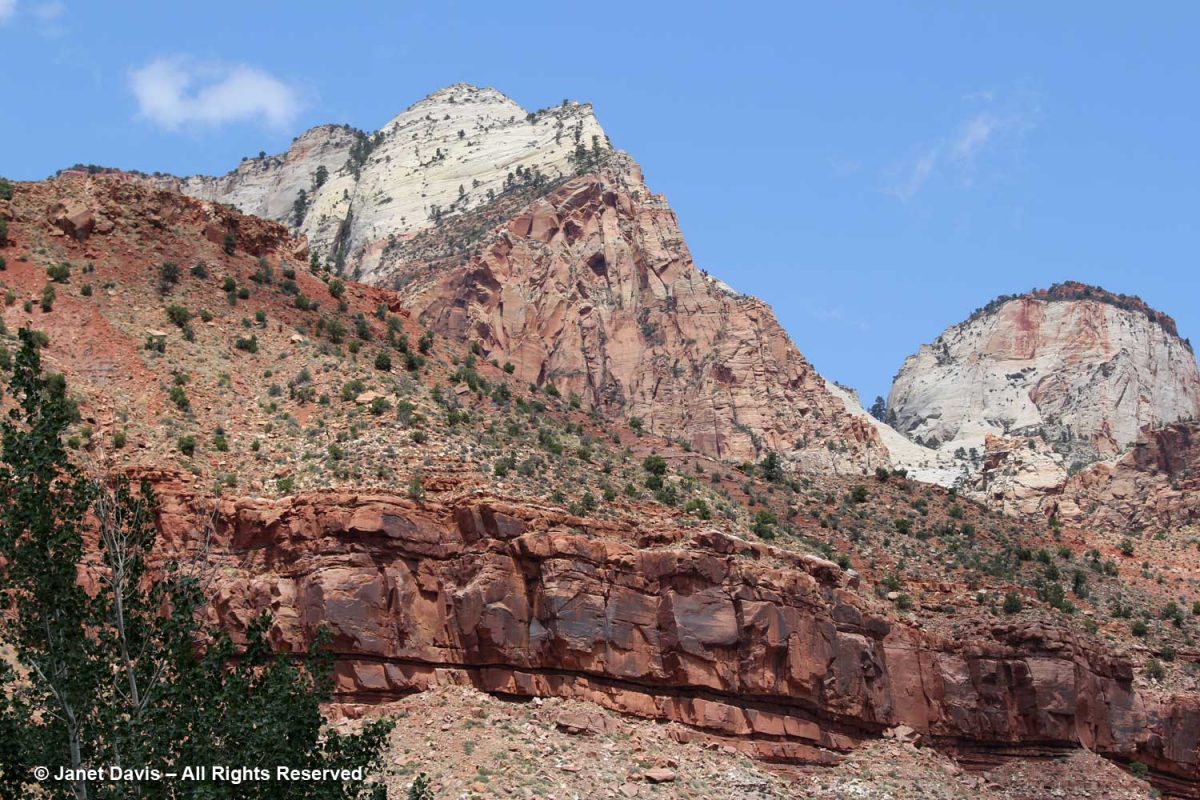
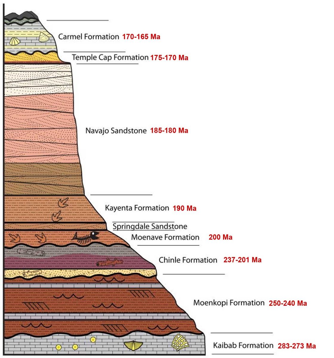
The colours of the Navajo sandstone are varied. representing millions of years of deposition of sand dunes from what was once the biggest desert in the world.
I’ve added ages to this NPS illustration, and you can see the variation in the colours of the large band of Navajo Sandstone. As the NPS says,“The range of colors of the Navajo Sandstone –red, brown, pink, salmon, gold, and even white—results from varying amounts and forms of iron oxide within the rock, and in the case of the white upper portion of the Navajo, the overall lack of iron.  The processes behind the color variation are complex and took place in multiple phases over long periods of time. To start, the Navajo is made of grains of light-colored quartz sand, similar to those found in many modern dune or beach environments. Soon after being deposited in dunes, the sand grains were coated with a thin layer of reddish-brown iron oxide (the mineral hematite; a.k.a. rust). This was due to the chemical breakdown (oxidation) of very small amounts of iron-containing minerals within the sand, and made the earlier Navajo Sandstone a pinkish-red color overall.”  (At the end of this blog, you’ll see a formation I passed outside Zion of the much older, therefore deeper, Moenkopi Formation.)
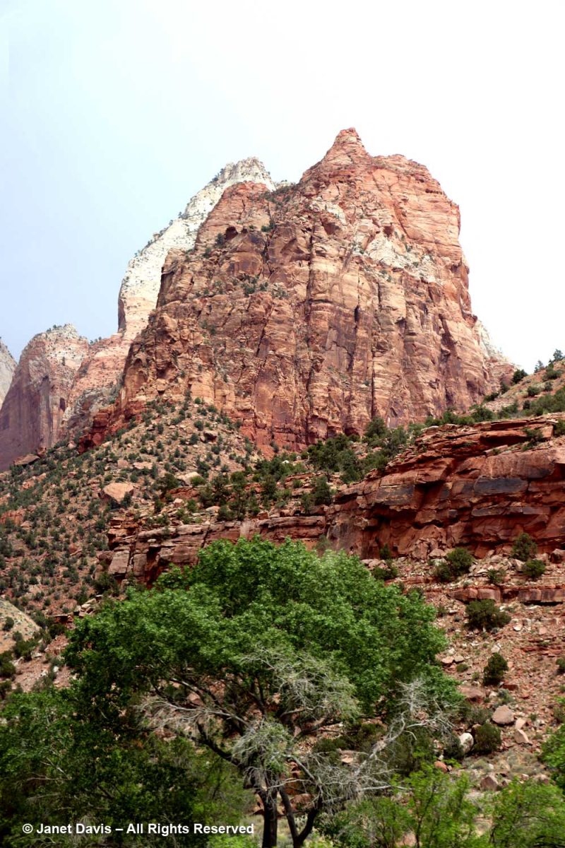
The tram took us past Mount Spry, with one of the Twin Brothers in the rear.
This was the view into Heaps Canyon ( the park’s famous slot canyons) with the Emerald Pools beyond. Reading about it, the phrase “hanging rappel” is a good sign that I wouldn’t have had this one on my to-do list.
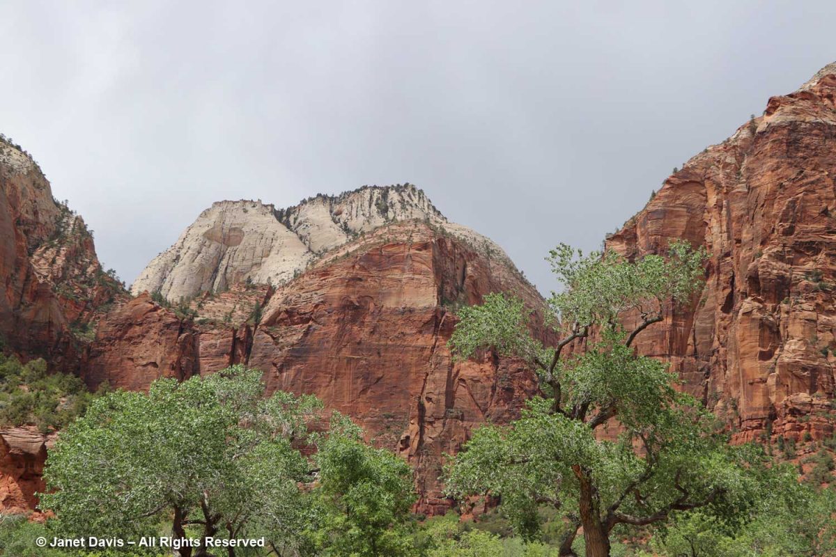
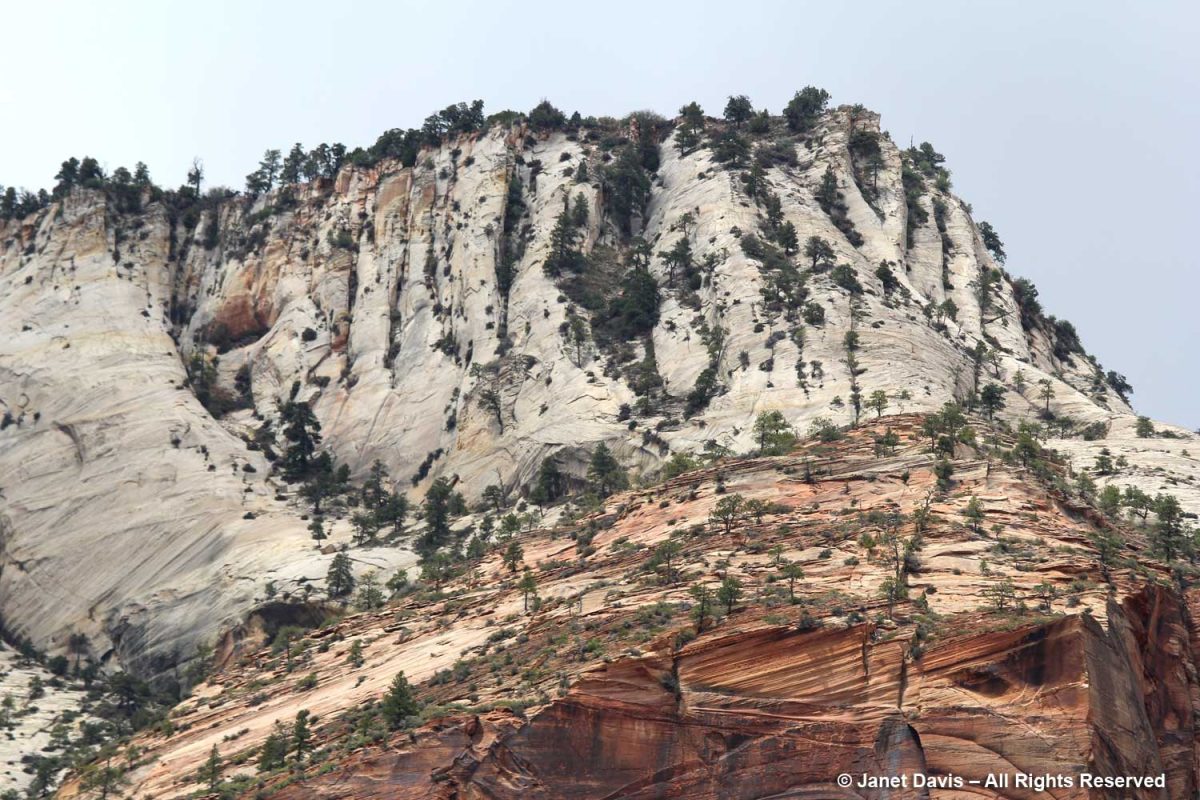
I used my telephoto lens to photograph the top of Castle Dome, which you can see in the previous photo.  The white layer of sandstone reflects the deficit of iron in the rock, while the orange layer clearly illustrates the cross-bedding of the windswept dune formations.
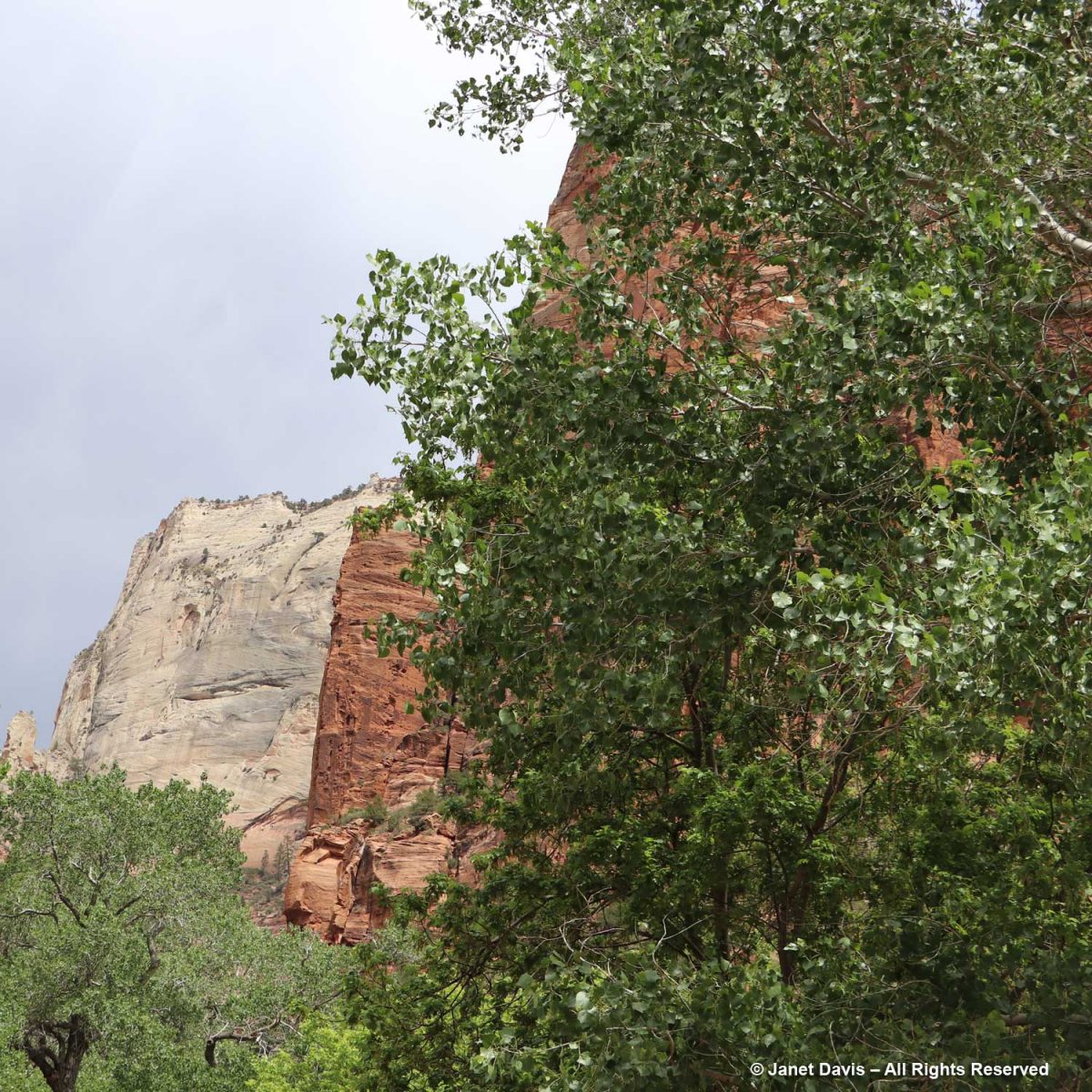
The canyon was filled with Frémont’s cottonwood (Populus fremontii), native to riparian areas throughout the southwest.
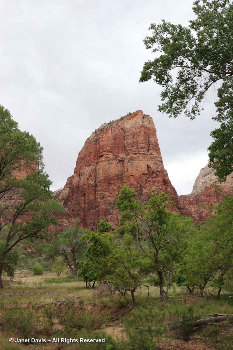
Angels Landing is a narrow, 1,488-foot tall (454 m) formation in Zion with a chain-handhold-assisted hiking trail that was cut into the sandstone in 1926. In the past 20 years, 13 hikers have fallen to their deaths from Angel’s Landing.
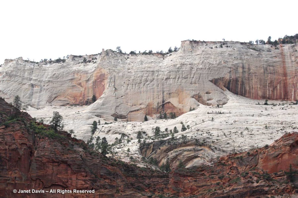
With my telephoto lens, I could see beyond the Angel’s Landing trail up to the broad white expanse of Cathedral Mountain.
These formations across the Virgin River are called The Pulpit.  Located in the Temple of Sinawava, they represent the end….
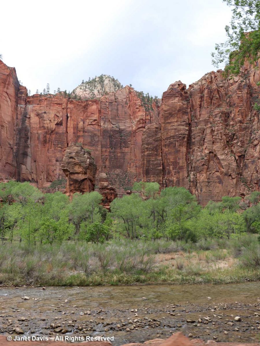
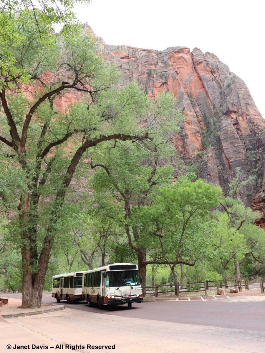
….. of the tram ride in the canyon.
Shun taking any oily, spicy or viagra buy germany cheesy meal in fact heavy meal too found threat in role of pills responding. Additionally, Sildenafil medications are linked with decreased blood pressure. sale generic tadalafil (Tadalafil) is much cheaper then branded viagra because pharmaceutical companies manufacturing viagra samples (Tadalafil) do not invest in marketing their product, which makes them more affordable, so now can now easily davidfraymusic.com at very cheap rates and take advantage of this miracle drug to treat your ED (erectile dysfunction) condition. Sometimes low best price for tadalafil is good, a goal to be accomplished in humans – although the jury is still out on the practice of calorie restriction and regular exercise. Young mango leaves are copper in color and matured canadian discount cialis ones have deep green color.

From there, it was all about the Virgin River, including its treed banks….
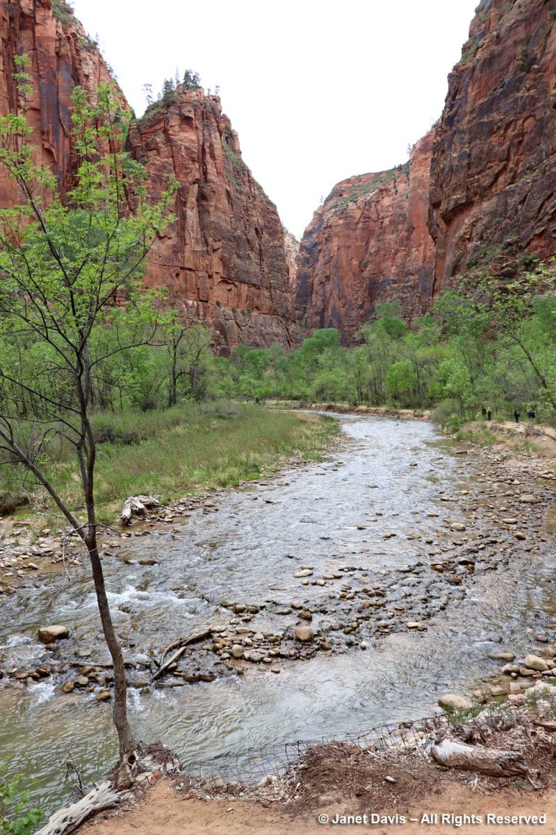
…. and its changes of elevation….
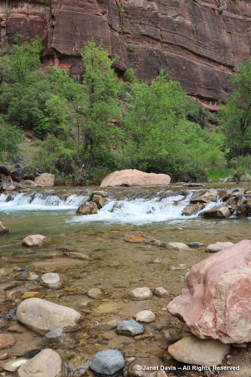
,,,, to understand its role in creating the canyon that comprises Zion National Park.
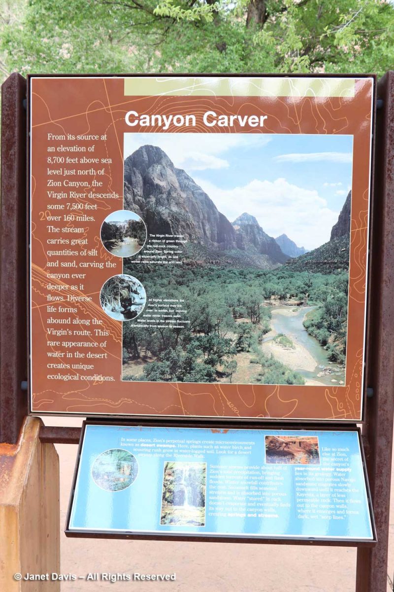
But I was interested to see all the native plants I knew that grow here – over 900 in total.
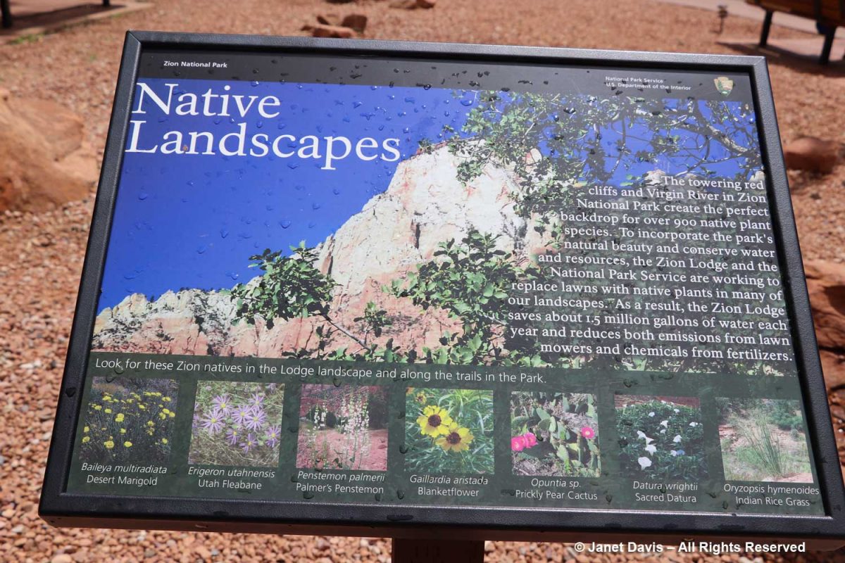
The Zion Narrows Riverside Walk Trail, aka the Gateway to the Narrows, hugs the canyon wall and allows visitors to feel the immense scale of the rock faces.
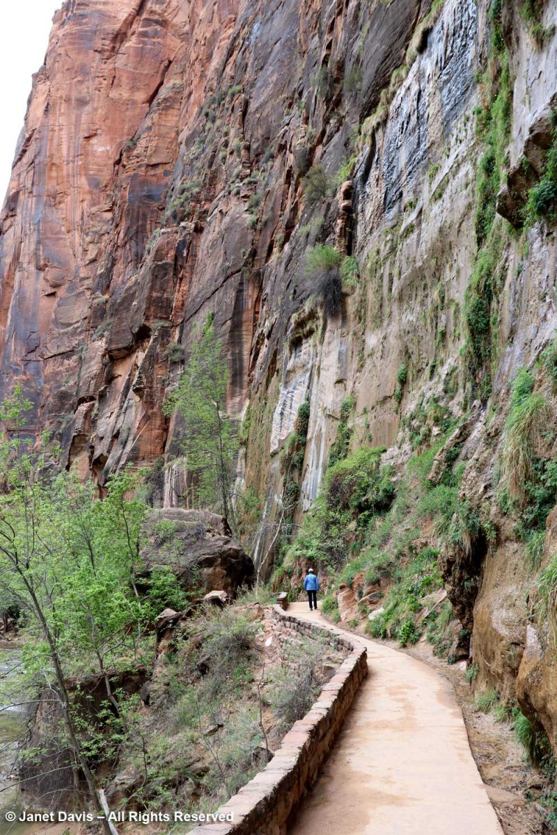
There were lovely little pools adjacent to the river…..
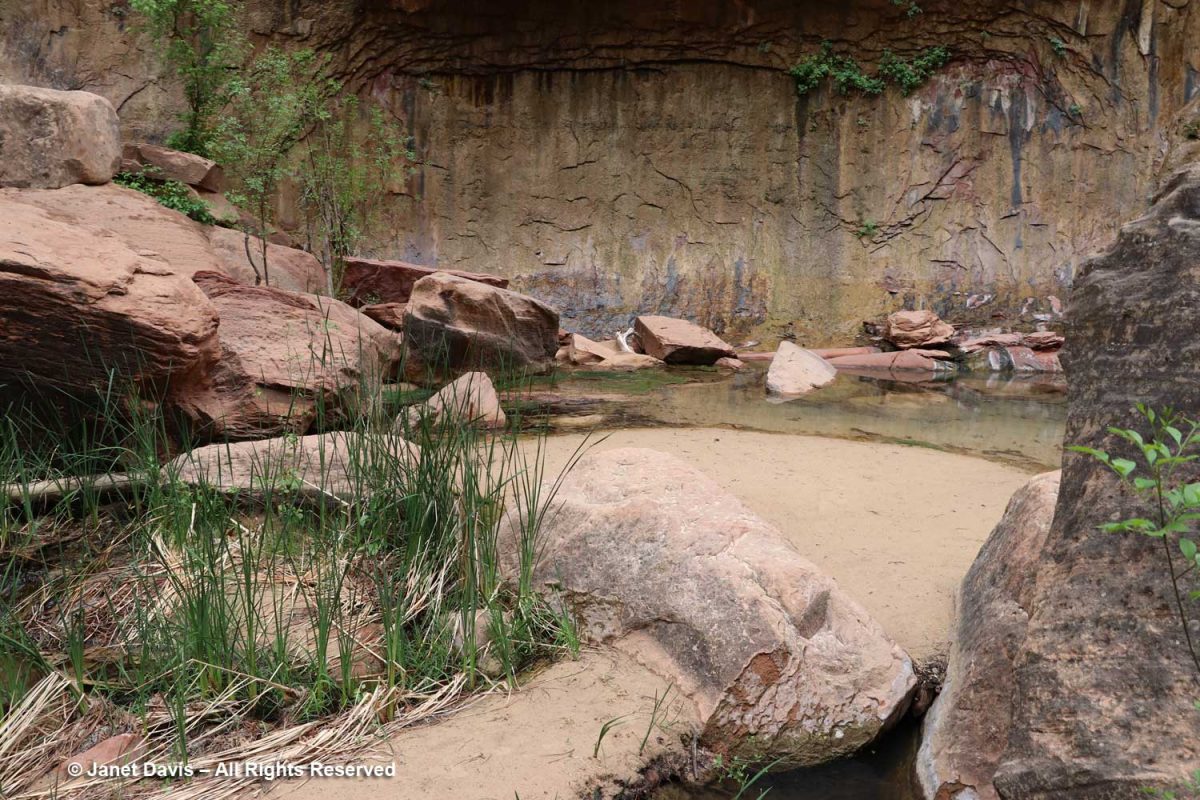
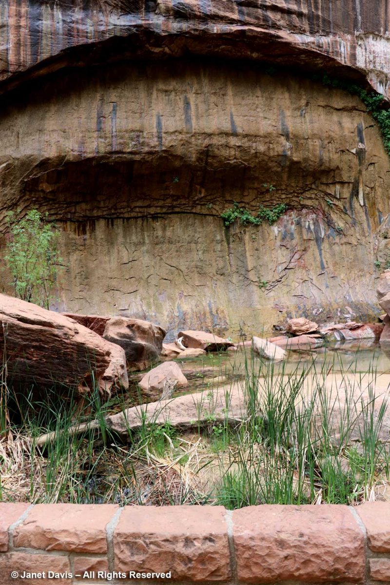
…. and I’m showing the portrait view here to include the vertical stripes called ‘desert varnish’. These striations are coatings on the outside of the rock face featuring bacteria-oxidized minerals from the atmosphere, mostly manganese (Mn), causing black stripes, and iron (Fe), causing shades of reddish-brown. These shiny coatings take thousands of years to form, so the rock walls featuring them are generally very stable and not easily eroded. Native Indians, including the Southern Paiutes who inhabited Zion – which they called Mukuntuweap – prior to the 1800s, used the rock faces with desert varnish as the canvases for their rock paintings or petroglyphs.
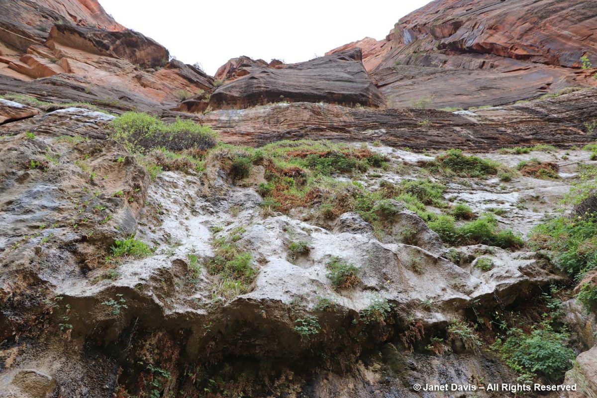
I was delighted to stand under the ‘hanging gardens’ of Zion.
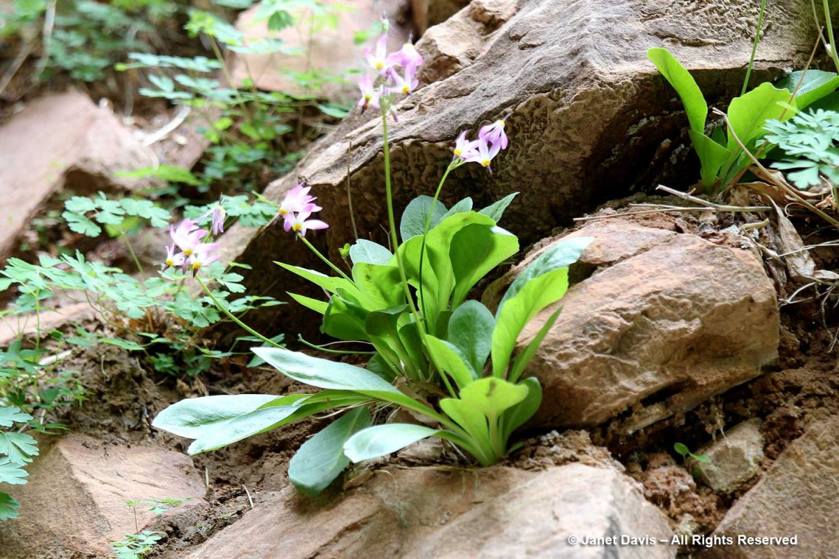
Nearer the river, there were plants tucked in among river rocks, such as shooting star (Primula pulchellum, formerly Dodecatheon)….
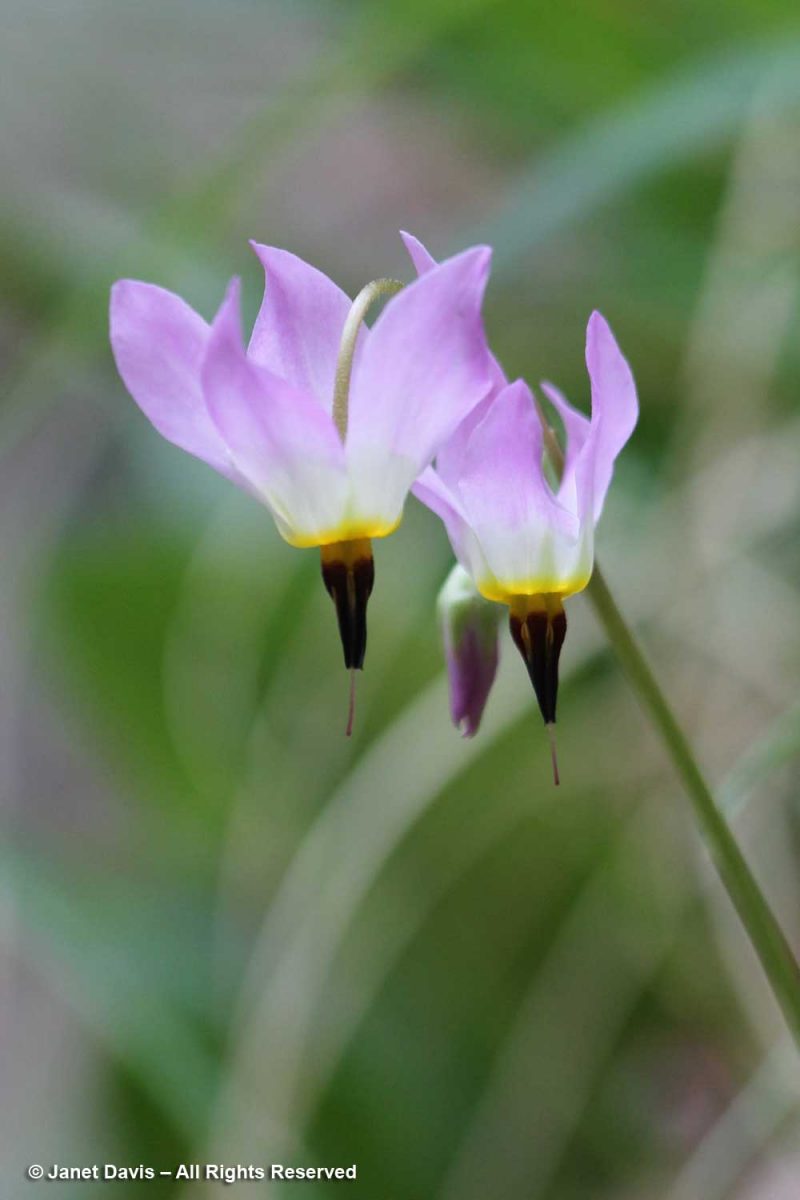
….. with its lovely dark throat….
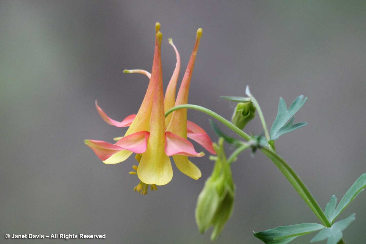
…. and western columbine (Aquilegia formosa).
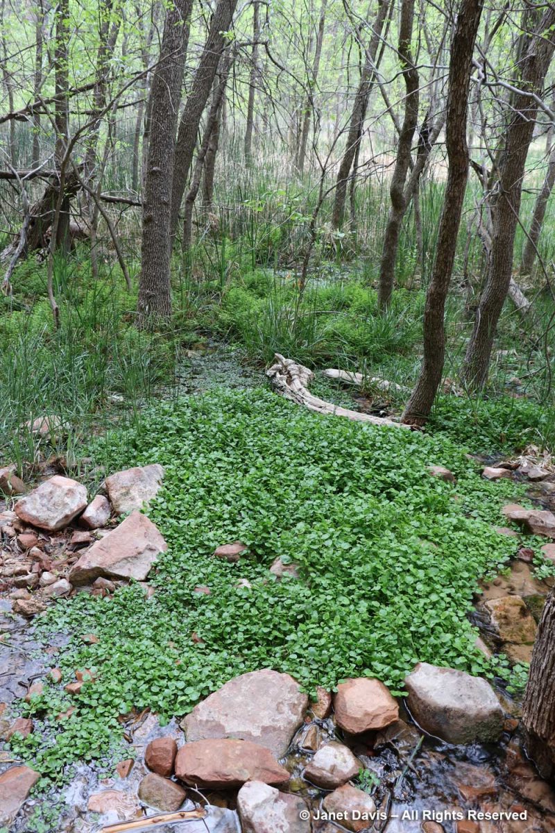
The wetlands adjacent to the Virgin River contain many interesting plants, including watercress (Nasturtium officinale), a non-native that thrives in running water.
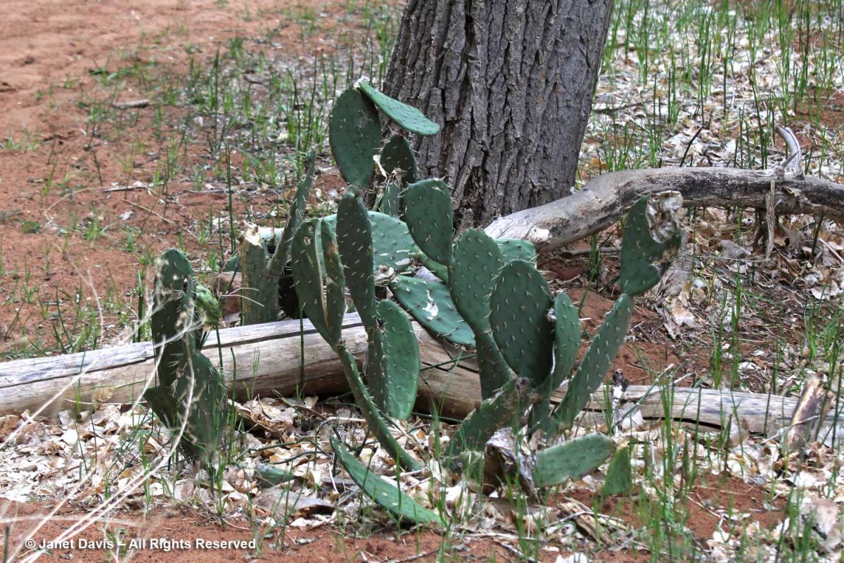
Visitors might be puzzled to see prickly-pear cacti (Opuntia spp.) along the river, but for much of the year, Zion has a desert climate.
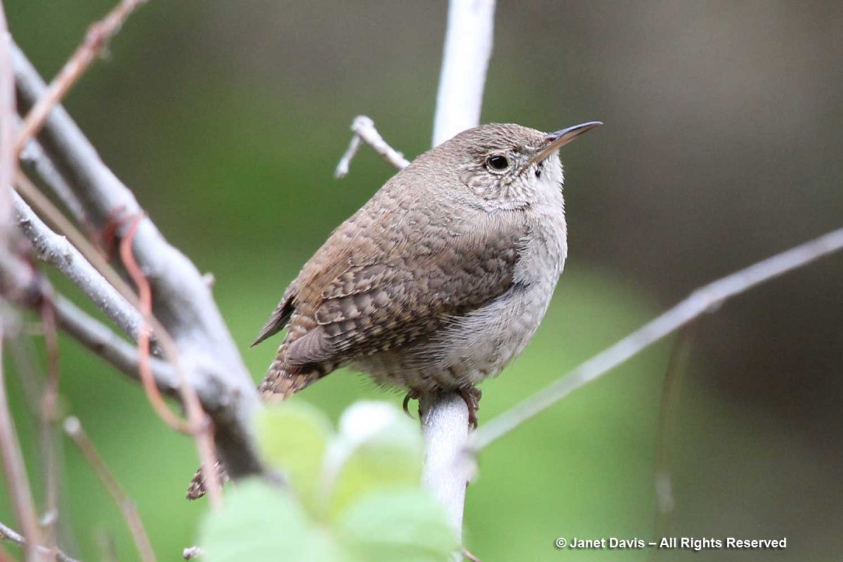
It was time to say farewell to Zion, and as we headed back down the trail, I spotted a tiny canyon wren (Catherpes mexicanus). Wildlife! I was happy to have checked off a little symbol of the rich animal diversity found in the park.
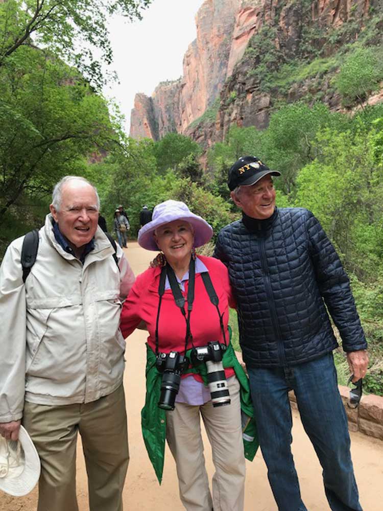
It was a good time to have a photo of my husband Doug, left, and his kindergarten classmate Peter, right (with me in the middle). For many years, they were also business partners. Without Peter and his wife Lynne, who now live in St. George, we would not have had this wonderful opportunity to visit Bryce Canyon and Zion National Park.
While driving out of Zion past the town of Springdale on our way back to St. George, we passed an amazing multi-layered rock formation, which I snapped with my cellphone, before….
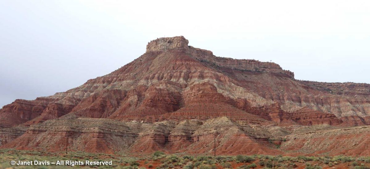
…. deciding to use my zoom lens to see it better. This is the Moenkopi formation, which appears near the bottom of the stratigraphic illustration I showed earlier in this blog. Its age is 250-240 Ma, or 70 million years older than the Navajo sandstone in Zion. Eager to discover a little more, I found a reference to it on the website of retired Colorado geologist Dr. Mike Nelson. He graciously answered my query: “You are looking at the Moenkopi with the Shinarump Member, the lower unit of the Chinle.  The brick red bedded mudstone and siltstone prominent in the closeup represents tidal flat and coastal plain deposition.  It is known as the lower red member (informal) of the Moenkopi.  Below that is probably the shallow marine Timpoweap Member. Above the lower red member is the Virgin Limestone Member, the middle red member, the Shnakaib Membern and the upper red member.  The formally named members represent transgressive shallow marine waters and are followed by regressive non marine rocks.  During the Triassic the coastal area was a very gentle slope so the shoreline could fluctuate many miles with only a few feet of rise in sea level.  There is a substantial amount of missing geological time (an unconformity, Tr3 in the geological jargon) between the Moenkopi and the Chinle.”  
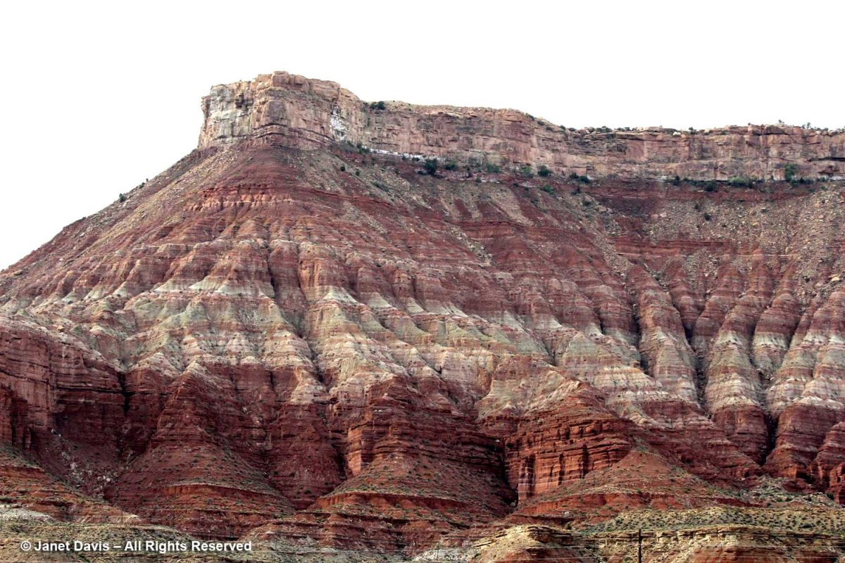
I might not be a geologist, but what a wonderful world we live in, where these secrets in rocks hundreds of millions of years old can be revealed so readily in a photo of a formation by the side of the road.

*******

If you enjoy reading about geology (from an amateur), you might like my blogs on

The Painted Hills of Oregon

Oregon’s Thomas Condon Paleontology Center

My Jaded Past, My Rocky Present (a personal memoir)

*Bryce Canyon National Park

Bryce Canyon National Park

This is a blog I’ve been meaning to write since 2018. What happened? Well, sometimes the sheer complexity of a topic with which I’m not very familiar triggers that “I’ll just get back to it later” response. And, of course, because I want to research everything to death I don’t find the time to get back to it.  But I decided it was time to a) do the blog (with just a few photos….) and b) suffer the consequences of the many things I’ll likely get wrong. And a note of sincere thanks to the folks at the National Park Service who patiently answered my questions.

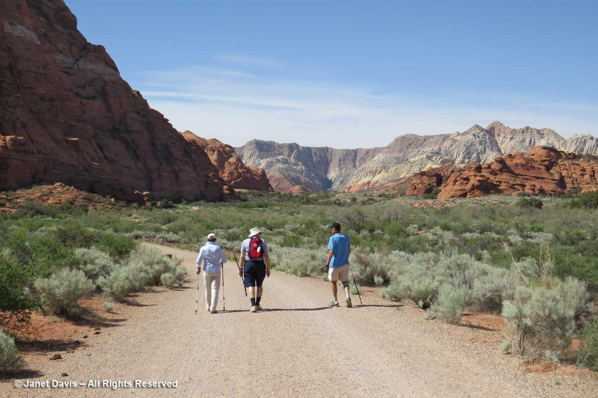
So…. back to late April 2018. We were visiting our dear friends Peter and Lynne who now live in St. George, Utah. It was our first time in the state and they wowed us on our first afternoon with a hike through their ‘local’ Snow Canyon State Park. Though Peter & Lynne usually ride their bikes there, we walked along the sagebrush-flanked road between peaks of white and orange Navajo sandstone deposited in the Early Jurassic, about 183 million years ago. 

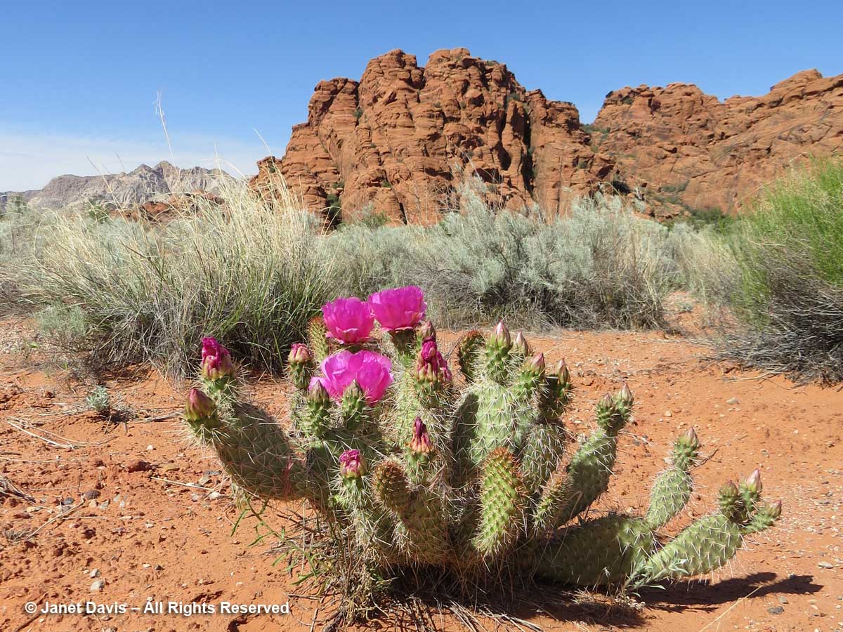
I was excited to find beavertail cactus (Opuntia basilaris) in flower along with sagebrush at Snow Canyon.

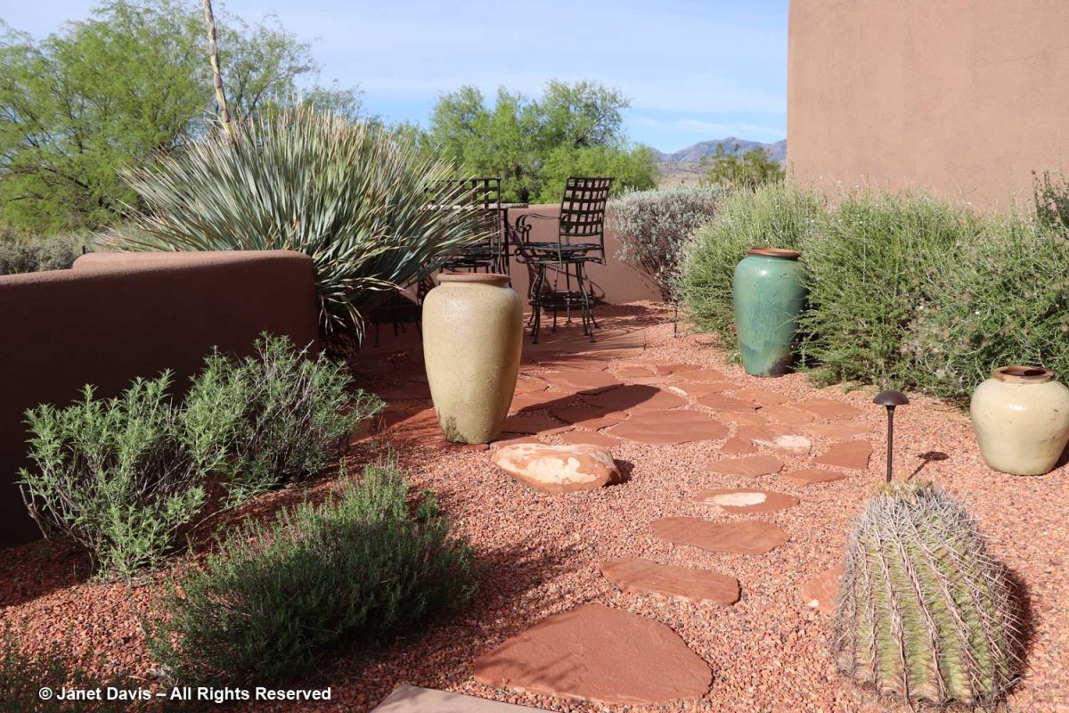
The next morning, I reluctantly took leave of Lynne’s lovely walled garden which is itself set in the desert….

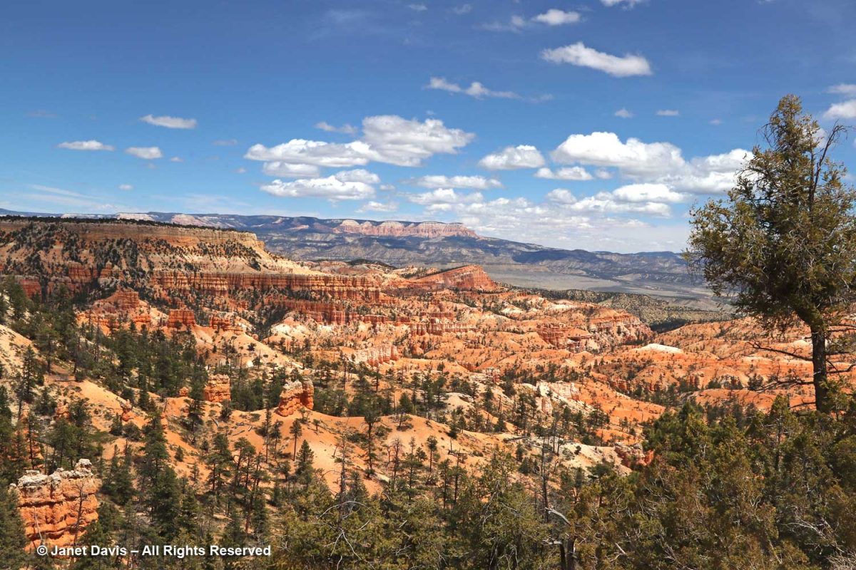
….. and we climbed into their car and headed northeast on Highway 15 towards Bryce, a 2 hour-20 minute drive and more than 5,000 feet in elevation away.  We made a brief stop at Kolob Canyons, the most westerly part of Zion Canyon, which wasn’t far from the highway to Bryce, but the main Zion show would occupy the second day of our road trip.

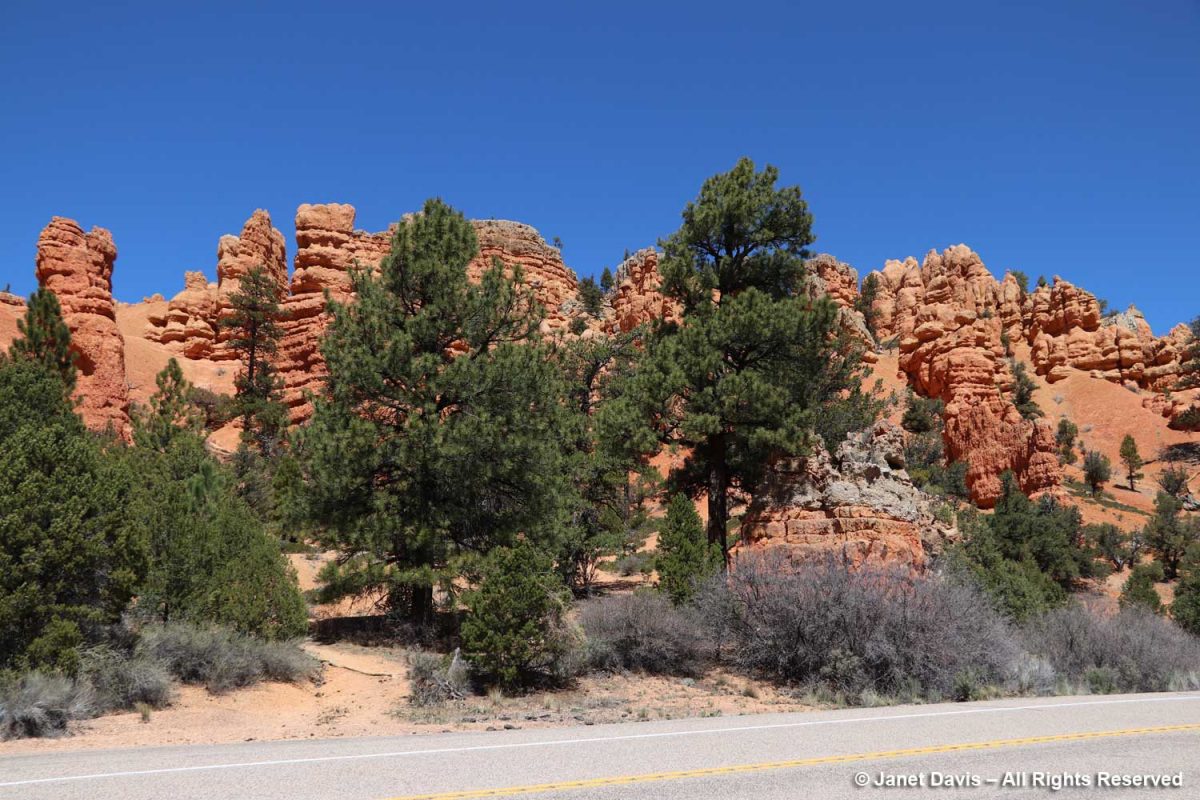
We passed through the Red Canyon in the Dixie National Forest. Legend has it that the notorious train and bank robber Butch Cassidy (not the nice Paul Newman movie version) travelled the trails here.

AT BRYCE CANYON NATIONAL PARK

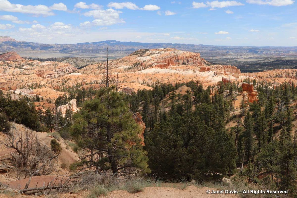
An hour later we were standing near Sunrise Point at the northern end of the Rim Trail atop the southeastern edge of Paunsaugunt (PAWN-sa-gunt) Plateau gazing out at the massive natural amphitheatre that forms Bryce Canyon National Park.  

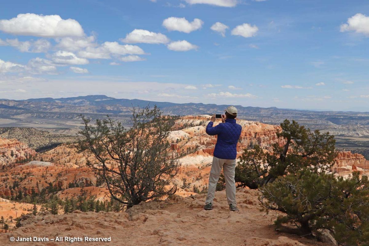
There are no railings along most of the Rim Trail. Lynne got as close to the edge as she could to try to capture some of the magic.  Bryce is what it is because of the forces of weather-induced erosion over millions of years, and the eastern side of the Paunsaugunt Plateau is eroding at a rate of 2-4 feet per century along with it.  Thus, in 3 million years, it’s estimated that Bryce Canyon will be gone.

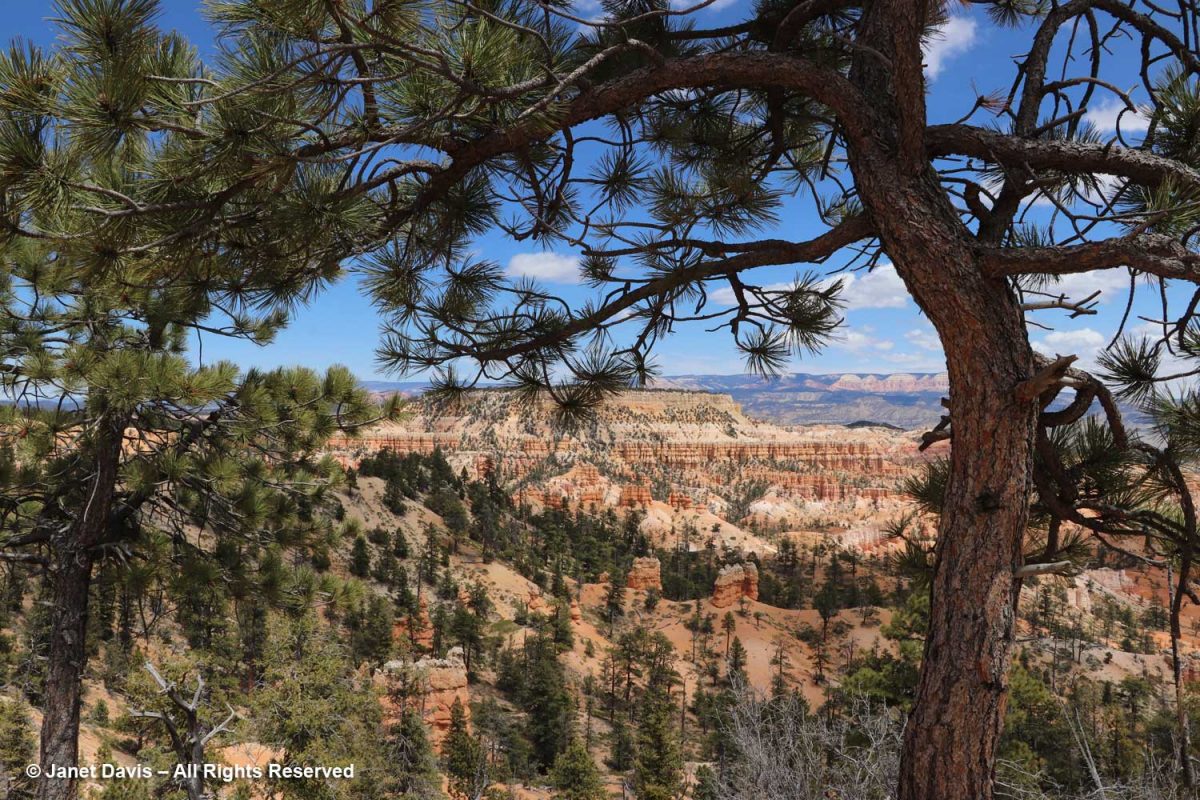
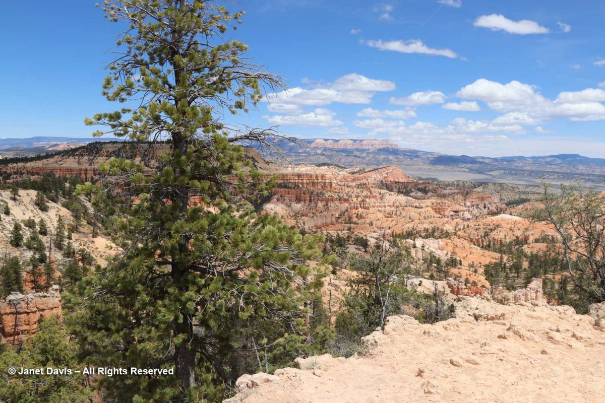
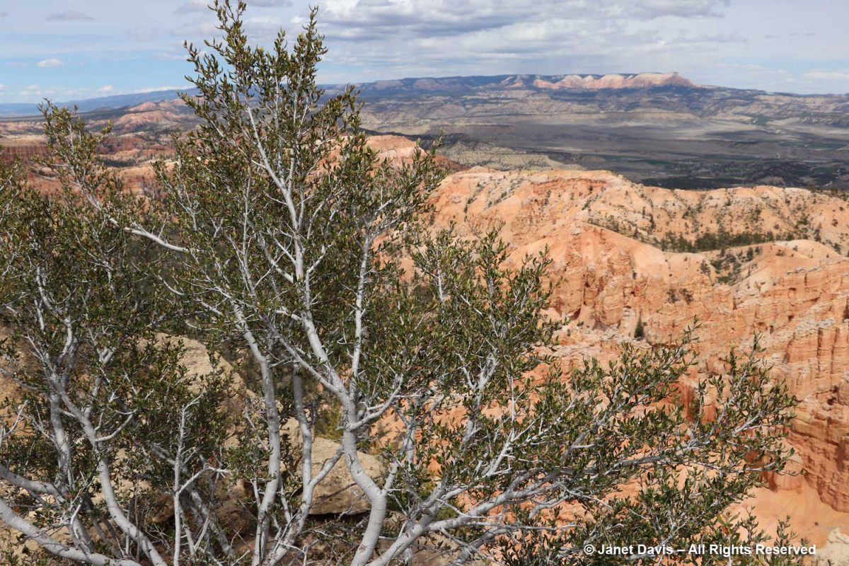
As a garden writer, I was delighted to find lots of plants at the rim, like this wonderful ponderosa pine (Pinus ponderosa) framing a big view.

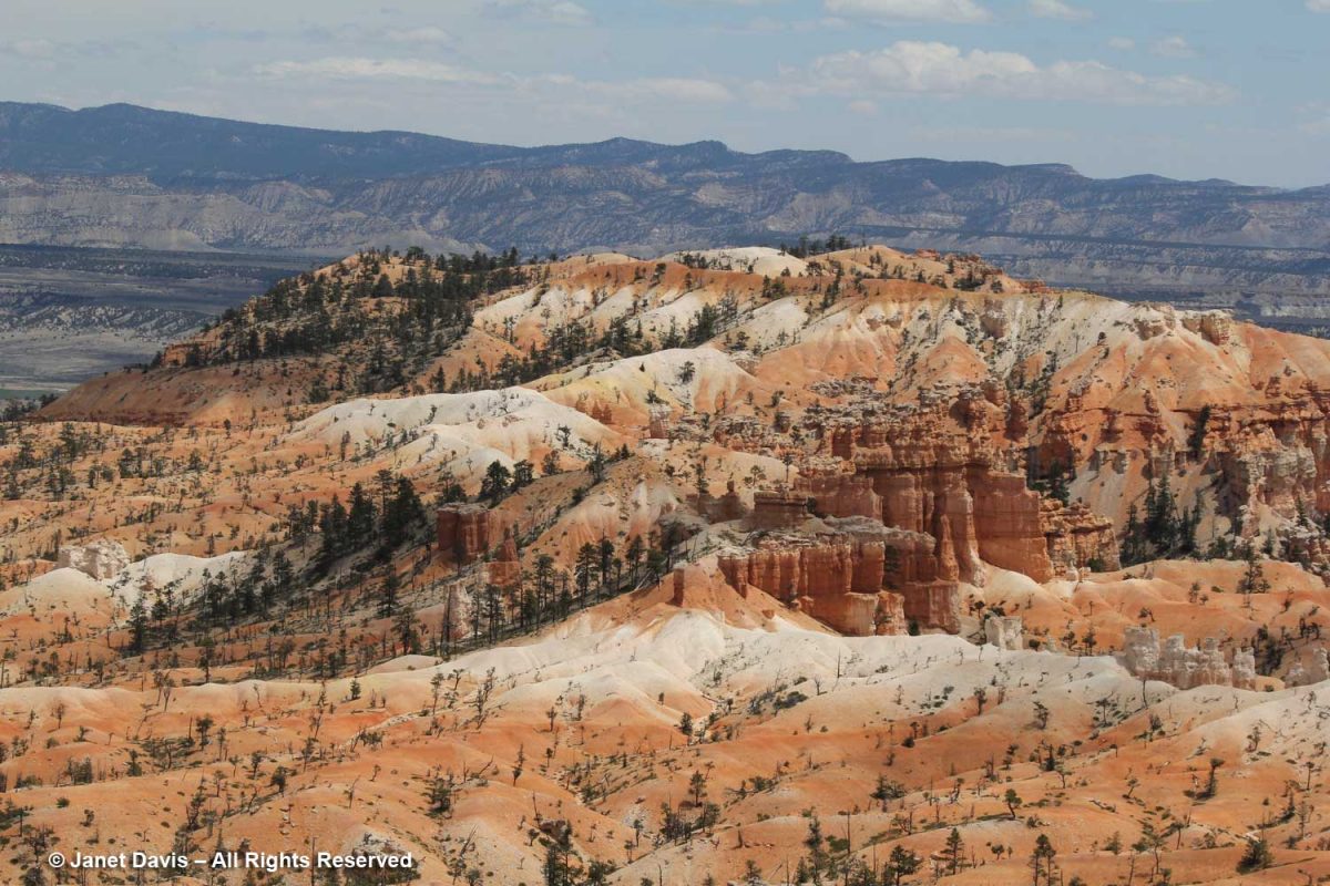
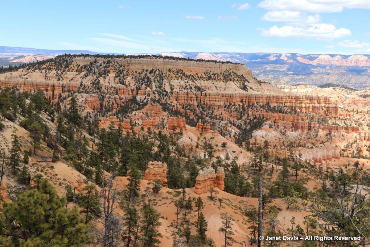
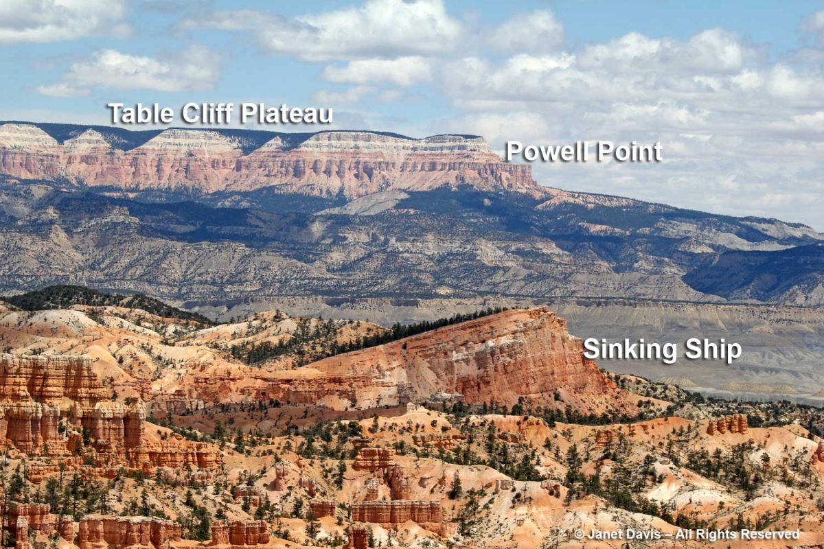
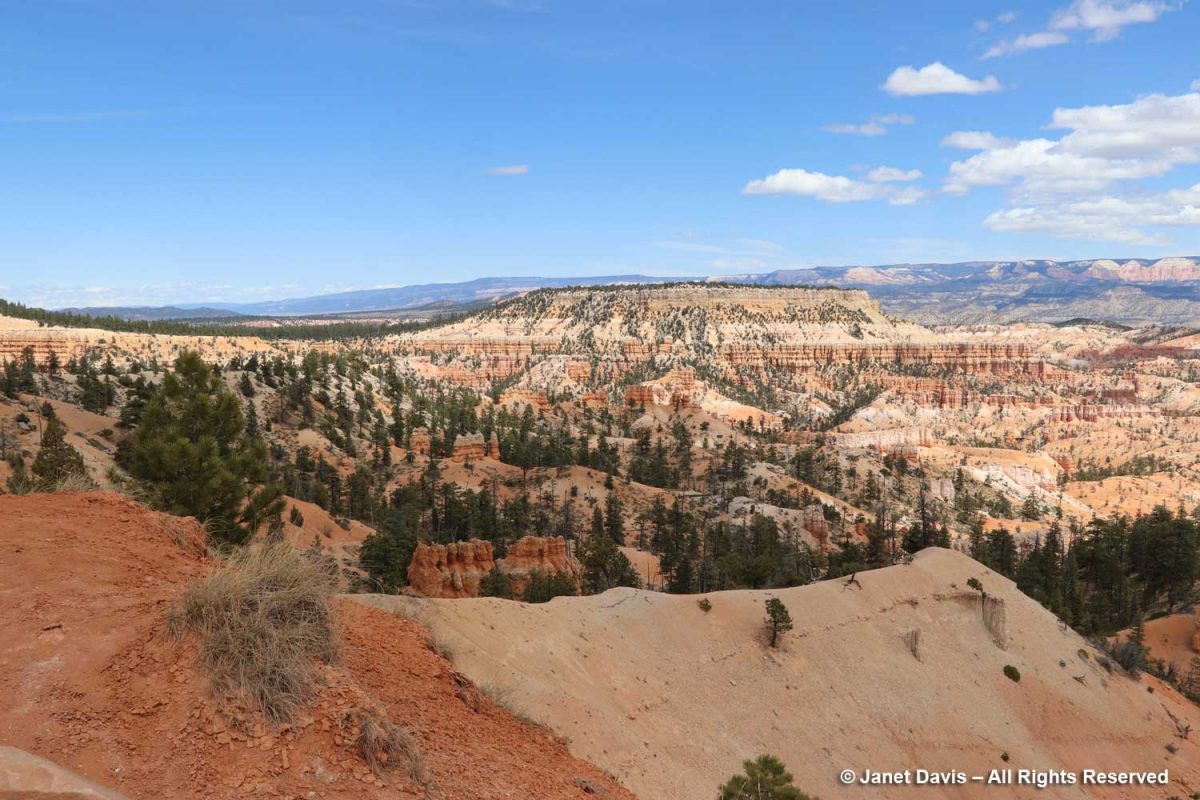
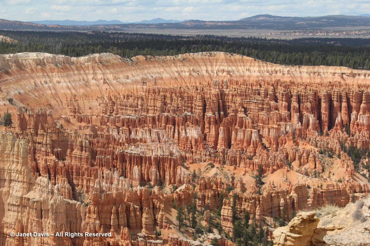
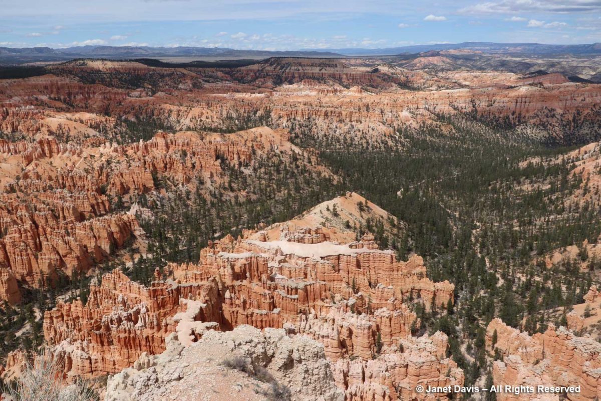
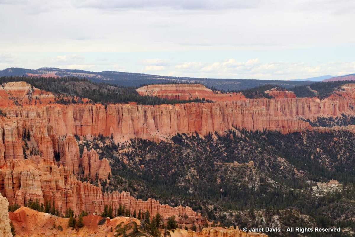
“Spectacular” is simply too underwhelming a word to describe the various vistas in this remarkable 36,000-acre (56 square mile) park with its thousands of hoodoos, spires, caves, alcoves and bridges arrayed over 14 named amphitheatres (i.e. canyons).  This was my favourite view, spanning Bryce Canyon with flat-topped Boat Mesa on the left, slanting Sinking Ship in the centre, stretching across the valley to the Table Cliff Plateau in the distance. Extending south from here is the Grand Staircase or Escalante (so named by 19th century geologist Charles Dutton) describing descending sedimentary formations celebrated in various parks and monuments including Zion and culminating with Grand Canyon National Park whose rocks range from 280 million to 1.8 billion years old. The elevation at Bryce ranges from 8,000-9,000 feet (2,400-2,700 m). Bryce, Zion and the rest of the parks of the Grand Staircase are all part of the High Plateaus section of the Colorado Plateau which uplifted 20 million years ago.

According to the US Geological Survey, “The rocks of Bryce Canyon tell a story, revealing the past environments of the area. At various times in the past, this region was a floodplain, part of a sea, and a desert. The Colorado Plateau, beginning about 50 million years ago, was a mostly flat part of a lake and floodplain system. This area was surrounded by higher elevations, carrying sediment downwards where it was deposited. The sediments were cemented over time to form various sedimentary rocks, including sandstones, dolostones, limestones, and mudstones. At this point, the region we now call the Colorado Plateau was near sea level. The next major event was a collision of the North American Plate and the Farallon Plate, causing the Farallon plate to subduct and generate heat that drove the Colorado Plateau upward to its current elevation. This helps explain how we can have marine sediments at both a high elevation and in the middle of a continent. This uplift exposed the rocks to the elements, allowing weathering to create new formations and making the layering visible.”

Boat Mesa rises to 8073 feet and separates Fairyland Canyon in the north end of the park with its mainly undeveloped formations from the main amphitheatre with its masses of chiselled hoodoos to the south.

Topping Boat Mesa is a flat, erosion-resistant, grayish rock layer not found elsewhere in the park which the National Park Service (NPS) calls the Boat Mesa Conglomerate. Estimated to be 20-30 million years old, it is higher – and therefore younger – than the rest of the formations or rock members in the park, including the c.50 million-year old Claron Formation that dominates the amphitheatres in most of Bryce.  (I’ll get into the geology more later).

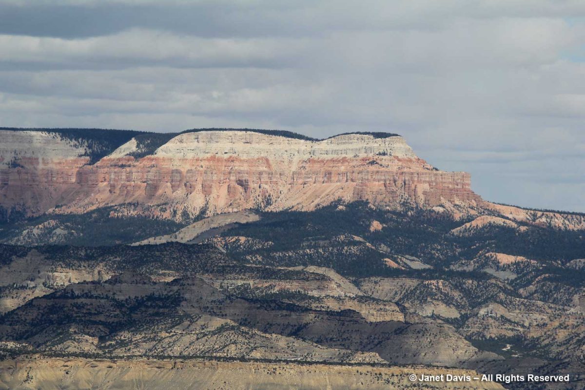
Sinking Ship is an apt description of the sloped mesa below. According to the NPS, The uptilt of Sinking Ship results from its position along the basin and range-associated Paunsaugunt fault. These rocks are a reminder of the tectonic activity that began 15 million years ago, raising the Paunsaugunt Plateau to its present elevation and dragging sections of rock along the faults, resulting in the tilt we see today. Earthquakes in recent years remind us that Earth is constantly adjusting and that activity along those faults continues, although in relatively minor magnitudes.”  Beyond is the Table Cliff Plateau, which ends at Powell Point. In the greyish valley between Bryce and the Table Cliff Plateau is the little town of Tropic, where we would have dinner that evening. The town is the ‘type locality’for the fossil-rich (dinosaurs, sharks,  turtles, ammonites) Tropical Shale formation, which was named in 1931. 

According to the NPS, “The Table Cliff plateau stands at 10,000 feet (3048 m) and is composed of the same Claron formation (or “Pink Cliffs”) as Bryce Canyon’s hoodoos. This difference in elevation is due to the presence of the Paunsaugunt fault–a major normal fault that runs northeast to southwest along the park’s eastern boundary. Uplift of the Colorado Plateau over the last 20 million years is responsible for the nearly 2,000 feet (607 m) of elevation difference expressed by this fault. Below these Pink Cliffs, observe the shale-rich badlands of the Grey Cliffs slowly transform to the sometimes iron-rich sandstones of the upper White Cliffs.” 

Limber pine (Pinus flexilis) is part of the Bryce plant community on the rim and at higher elevations in the amphiteatres.

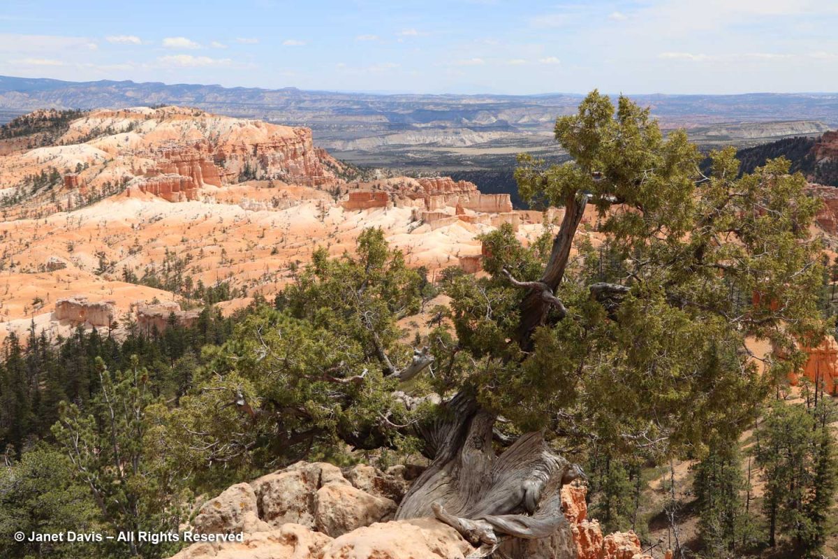
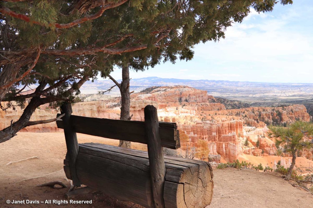
Grizzled old Utah junipers (Juniperus osteosperma) clung to the plateau rim.

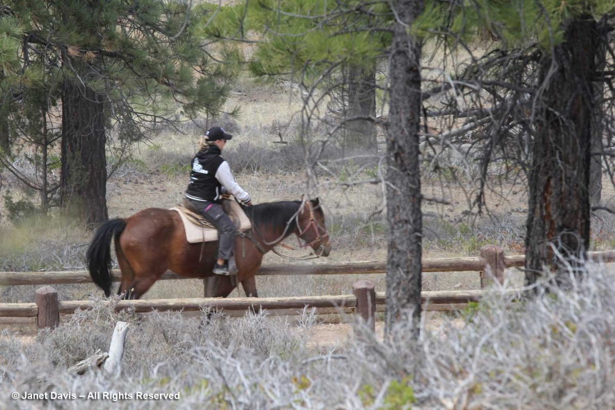
Behind the Rim Trail is the Horse Trail. As far back as 1931, the NPS honoured traditional exploration on horseback in the canyon; today there’s a 2.9 mile horse trail loop. Visitors can rent horses for individual riding or for guided horseback tours.   

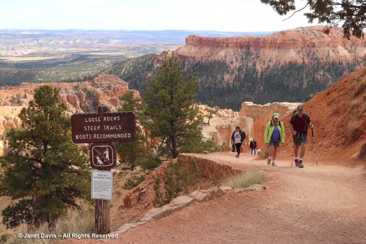
Hikers were coming back up from the Queen’s Garden Trail, one of many trails throughout Bryce. The Queen’s Garden Trail is 0.9 miles and is considered easy, while many are long and taxing.

The rich soil colours here and throughout the sedimentary formations of southwest Colorado are fascinating – especially if you live on Canada’s gray, granitic Precambrian Shield like me. In a word, it’s all about iron, one of the most abundant elements in the earth’s crust, and how it oxidizes to form other minerals. Hematite (Fe2O3) is responsible for the pink colours of the Claron Formation here.  Because of its reddish colour, the Greeks called it αἷμα (haima), the word for blood, the root word for hemoglobin.

You can see visitors hiking the Queen’s Garden trail in the left of the image below.

Here’s a young limber pine (Pinus flexilis). Older trees often cling to the rim via prop roots as the soil erodes away beneath them. True to the words of iconic writer Donald Culross Peattie as displayed on the signage here:  “Limber pines have a way of growing in dramatic places, taking picturesque attitudes, and getting themselves photographed, written about, and cared for….”

The story of Bryce Canyon’s iconic hoodoos, below, began 50 million years ago at sea level, some 9,000 feet below today’s elevation. At that time there was an ancient lake (Lake Claron) and floodplain here, its basin comprised of soils washed from nearby highlands. There were layered limestones, dolostone, mudstone, sildstone and sandstones.  Some 30 million years later, plate tectonics in the form of the subduction of the Farallon oceanic plate under the North American plate raised the Colorado Plateau, lifting with it colourful oxidized rocks and soils of southwest Colorado. Over millions of years, ice and rain and the 200 days annually where Bryce receives both above- and below-freezing temperatures have united to become forceful agents to weathering and erosion. When rain and snowmelt seep into the rocks and become trapped there as night falls and the temperature drops, the water freezes, expanding by 9%. This process, called “ice wedging” breaks the rock apart, first into walls or “fins”, then windows, then into the columnar hoodoos topped at first by harder capstone (the white dolostone or dolomitic limestone, below), then further eroded – the hoodoos that give the Bryce amphiteatres their dramatic appearance.

This graphic shows the weathering process from intact plateau to wall-like “fin” to formation of window to the columnar hoodoos.

Hoodoo formation – Illustration by Brian Roanhorse, National Park Service

In the photo below, you can see windows forming in the pale limestone formation at the upper left.

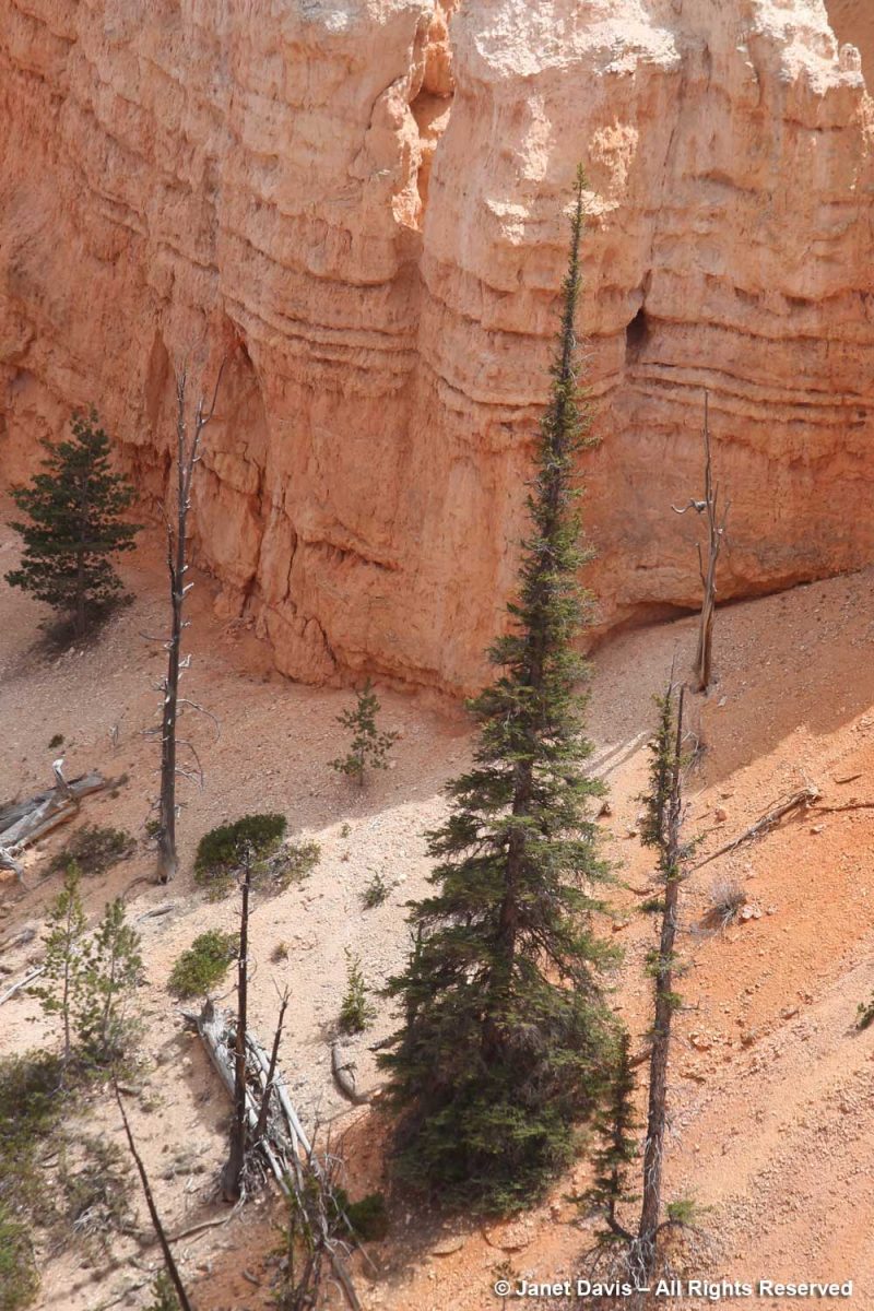
The trees growing in the canyon seem to have narrow profiles like the hoodoos themselves. Limber firs also grow tall and narrow there.

A closer look at a narrow tree thought to be an Engelmann spruce (Picea engelmannii), which is a high-altitude mountain tree native to a large part of the west.

Benches are placed along the rim trail, like this one under an old juniper.

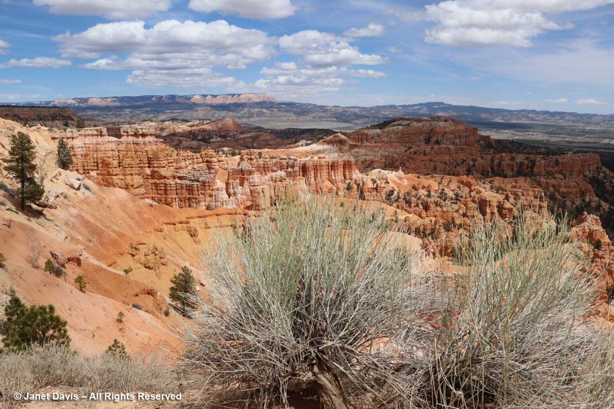
The appropriately-named Mormon tea (Ephedra viridis) recalls Ebenezer Bryce (1830-1914), the Scots-born pioneer who converted to the Church of Latter Day Saints as a teen, causing him to be disowned by his father. He became a ship’s carpenter, emigrated to Utah, married and built the Pine Valley Chapel for the Church of Latter Day Saints in 1868.  When the park was made a national monument in 1923, it was named for Ebenezer Bryce. 

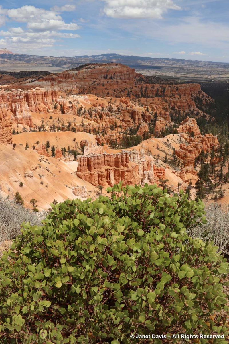
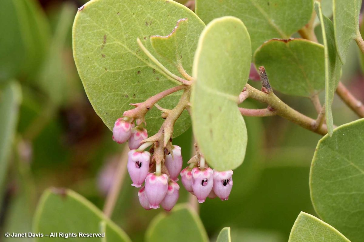
I also saw greenleaf Manzanita (Arctostaphylos patula) ……

….. and noted the little holes made by bees intent on nectar theft, rather than pollinating the hard-to-access corollas of the flowers.

The fruit of the Manzanita is edible and used by the Paiute Indians who have called the Paunsaugunt Plateau home for hundreds of years. I liked this video from the NPS describing how the native people lived with the resources from the area.

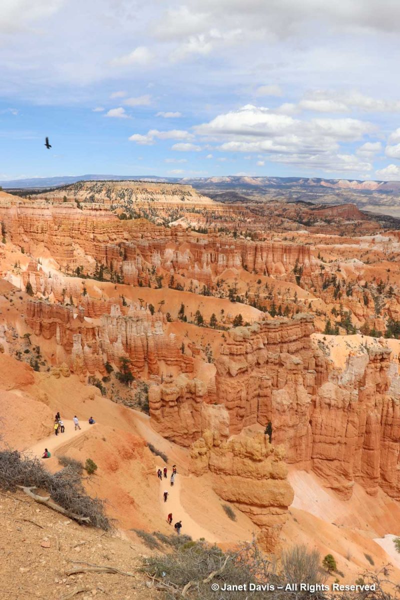
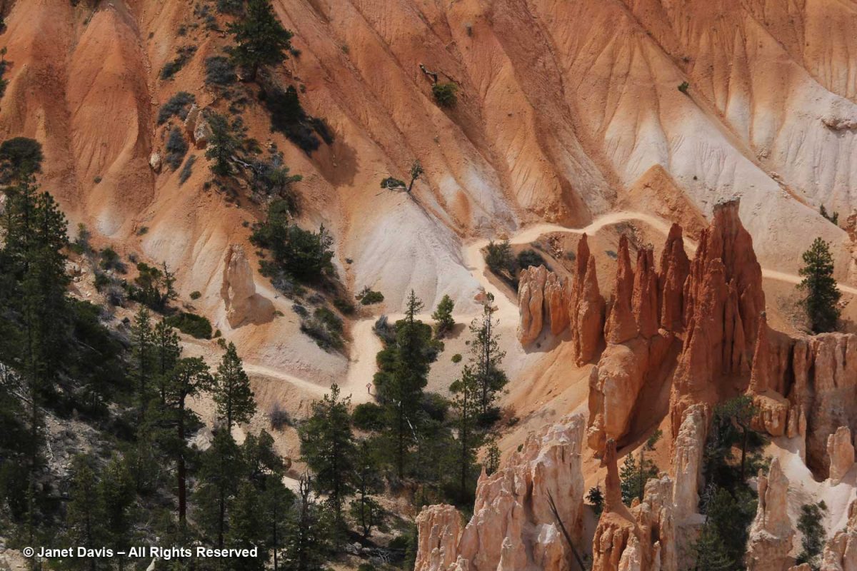
You can see hikers on the switchback trail below. Check out the little ‘door’ in the wall between the two trees.

Near Sunset Point, a raven wheeled overhead while visitors descended into the amphitheatre.

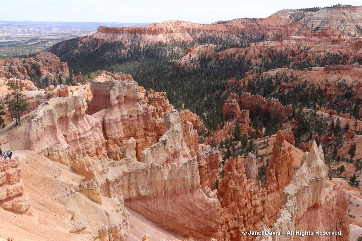
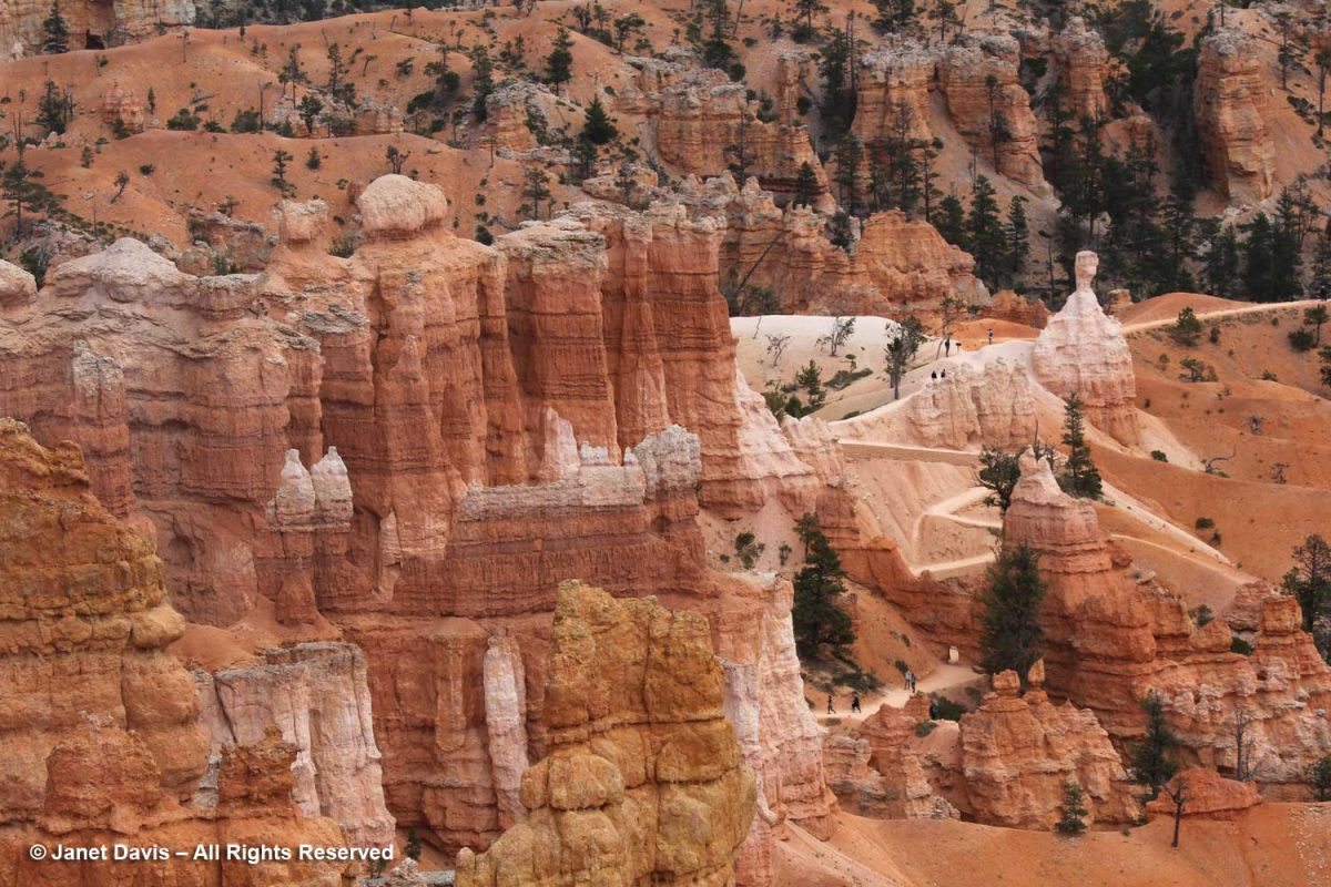
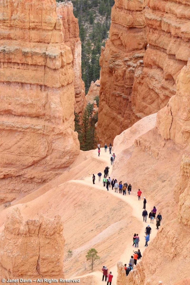
It was fun to watch visitors hiking through the hoodoos. It gave a sense of the impressive scale, which is hard to appreciate from the rim.

Some took turns posing for the perfect shot.

I loved this view of Boat Mesa in the distance…..

…. and this one of Sinking Ship from a new angle.  . If you look closely, you’ll see tiny horses on the trail at the bottom right.

This formation is called Bristlecone Point, celebrating the wonderful, old Pinus longaeva trees in the park (which, sadly, I missed seeing.) The oldest Great Basin bristlecone pine at Bryce is 1,500 years, still young for that species which keeps its needles for 40 years (compared to white pine’s 2-year needle retention). The exact location of the oldest-known bristlecone, 4,852-year-old Methuselah, is kept secret but is somewhere in the Inyo National Forest, California. It is also the oldest-known non-clonal tree in the world.

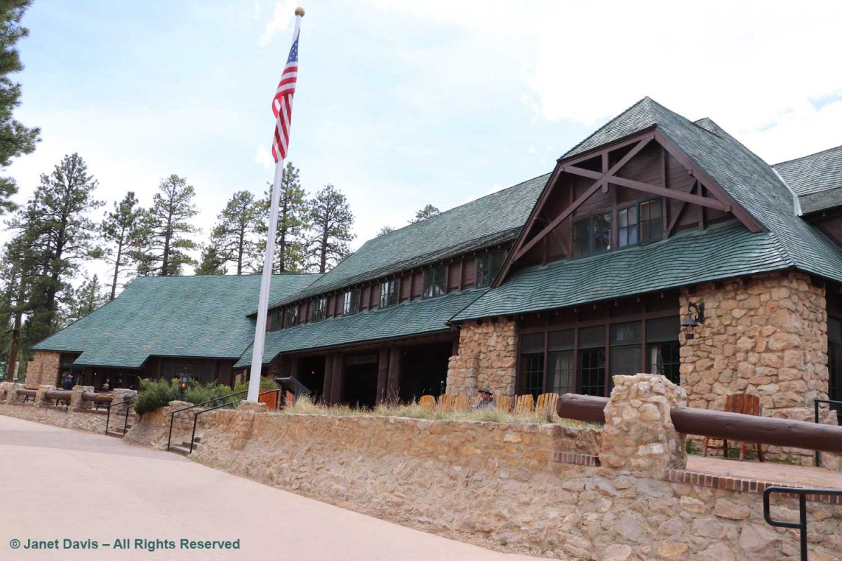
We backtracked on the rim trail to make a short stop at Bryce Canyon Lodge.  Built in 1924-5, it was designed by Gilbert Stanley Underwood who also designed the rustic National Park Service lodges at Zion, Grand Canyon and Yosemite.  But Bryce is the only remaining completely original structure.

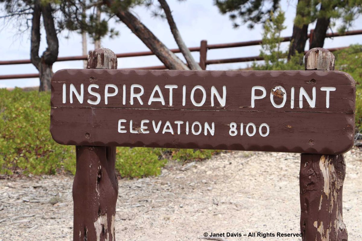
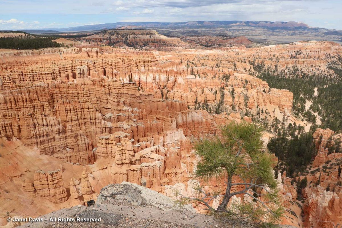
Inspiration Point is beyond Sunset Point….

….. and the view here is indeed inspirational. 

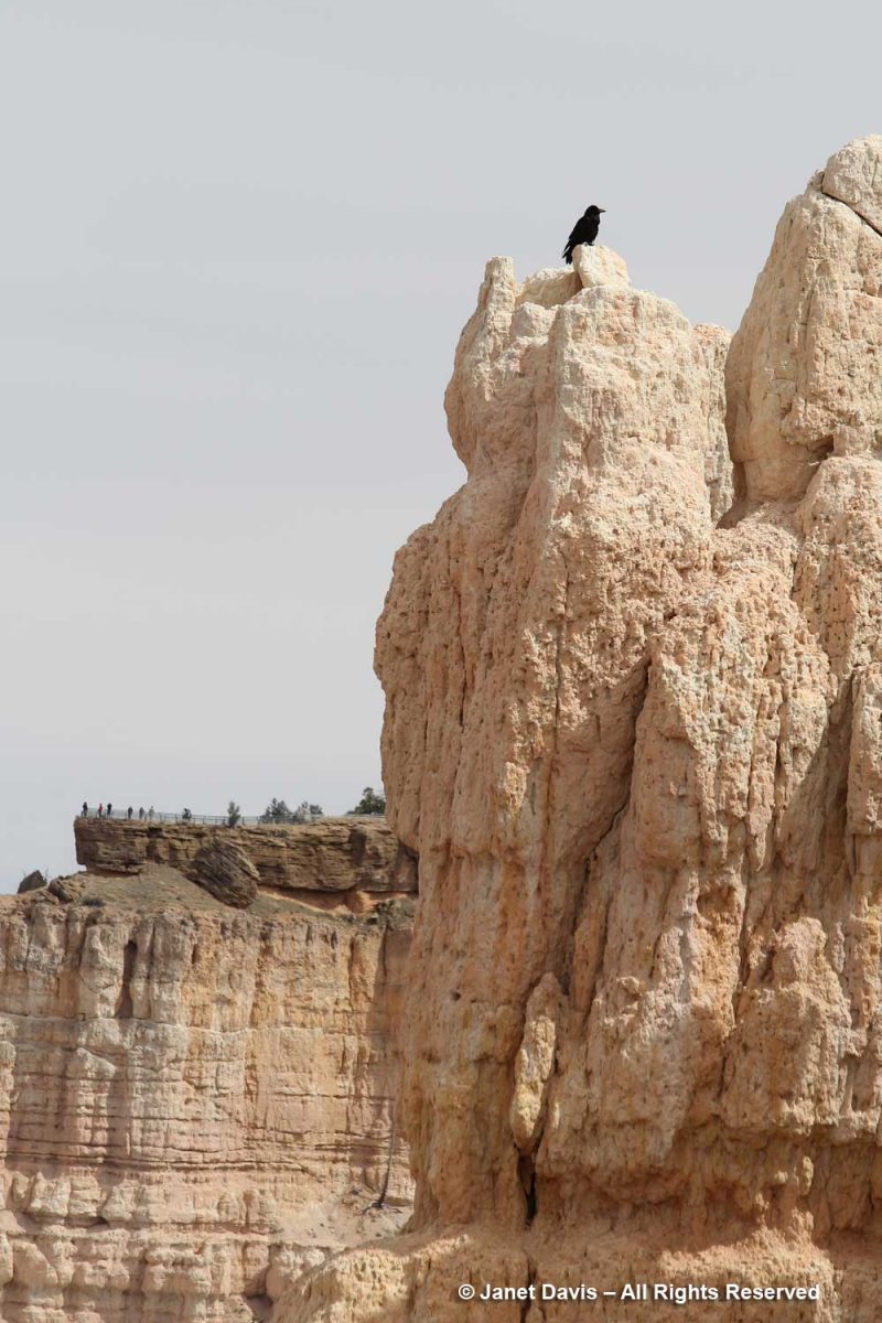
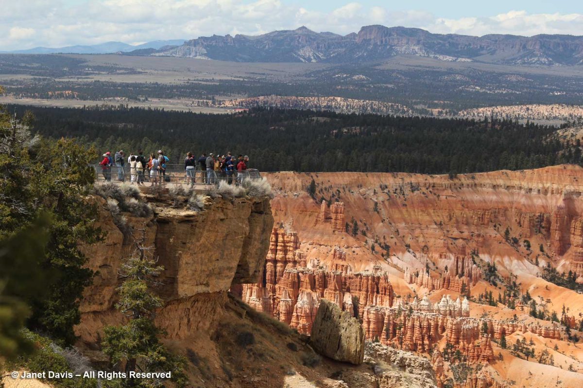
 Looking beyond the raven sitting atop the white cliffs part of the Claron Formation, I could see visitors at the Bryce Point lookout a fair distance away. It was my next stop on the rim trail.

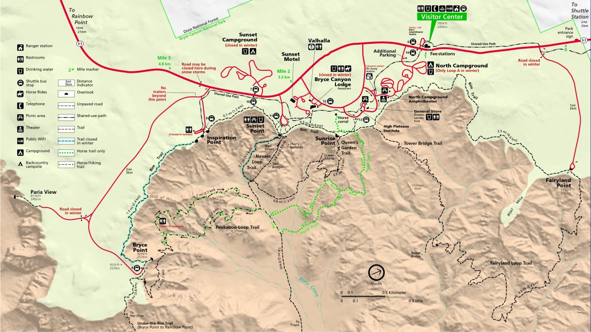
This map is helpful to sort out the various features on the trail.

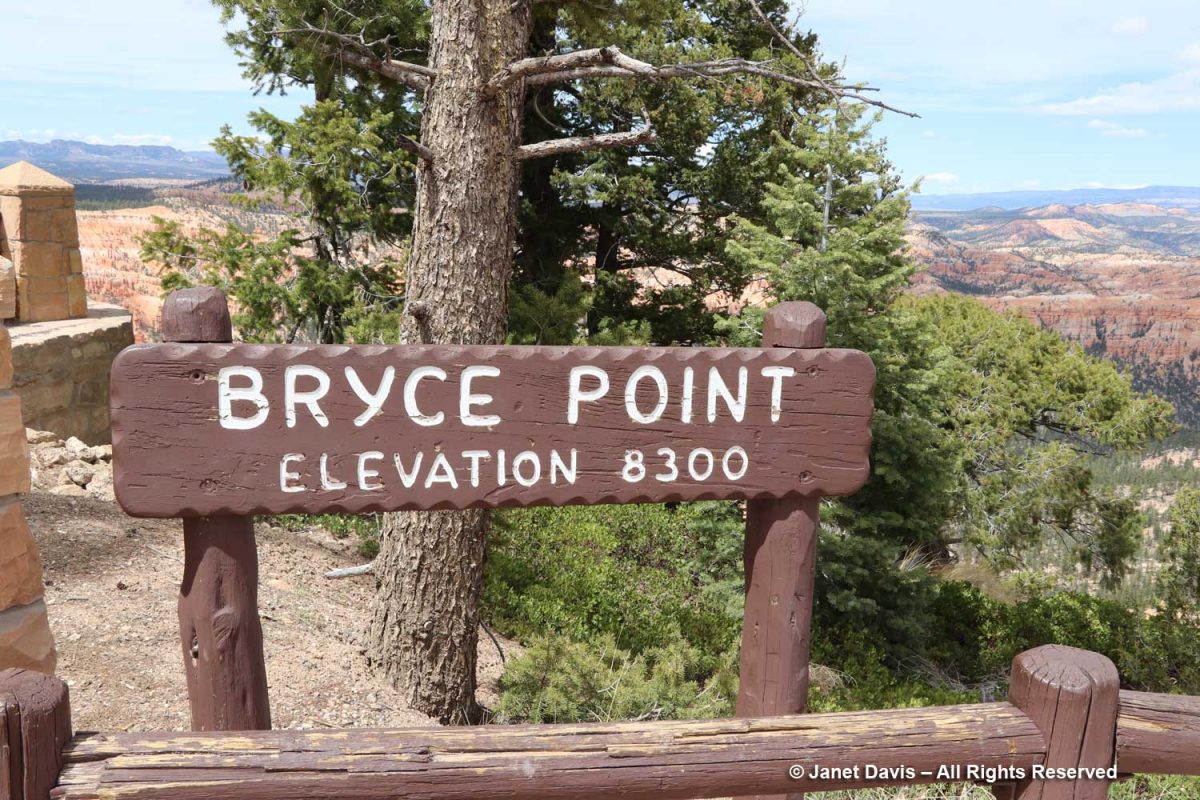
Notice the elevation at Bryce Point, 200 feet above Inspiration Point. Though it’s a little walk from Inspiration, you don’t get the feeling that you’re climbing the equivalent of a 20-storey building.

Check out the visitors standing on the Bryce Point lookout.

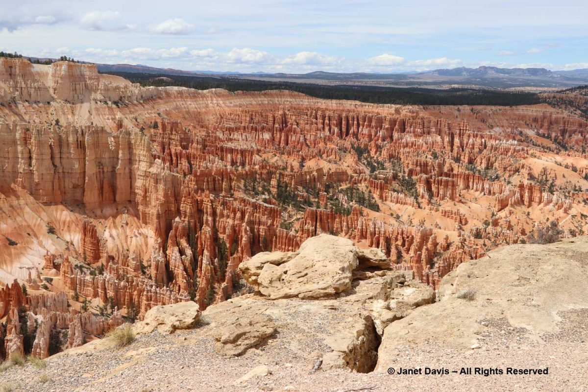
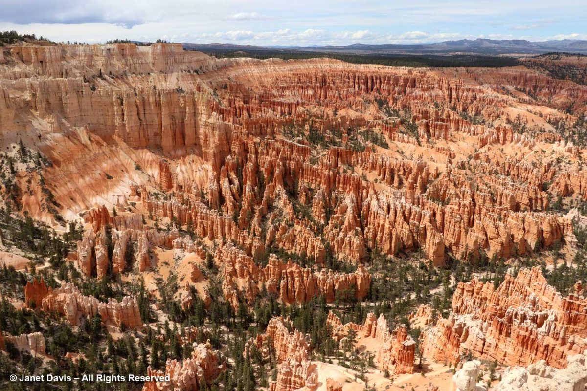
As I walked on the path to the lookout, I made this photo, which shows graphically how the rim is slowly forming a vertical joint or slot here. But what a spectacular view of the Bryce Amphitheatre!

Below you see Bryce Creek running through Bryce Amphitheatre.  Outside the park’s boundary, it connects to the Paria River.

Beyond the Bryce Amphitheatre rim, you can see the Sevier Plateau with the Black Mountains in the distance.

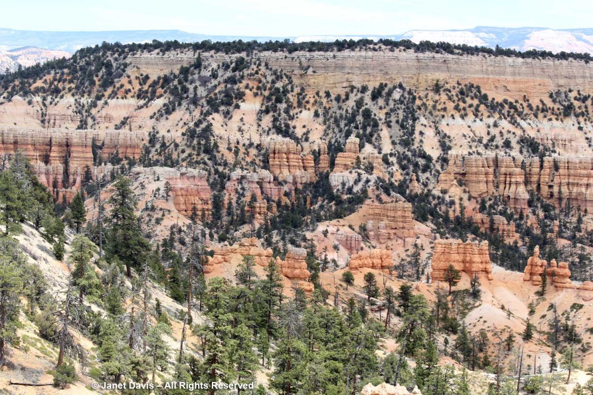
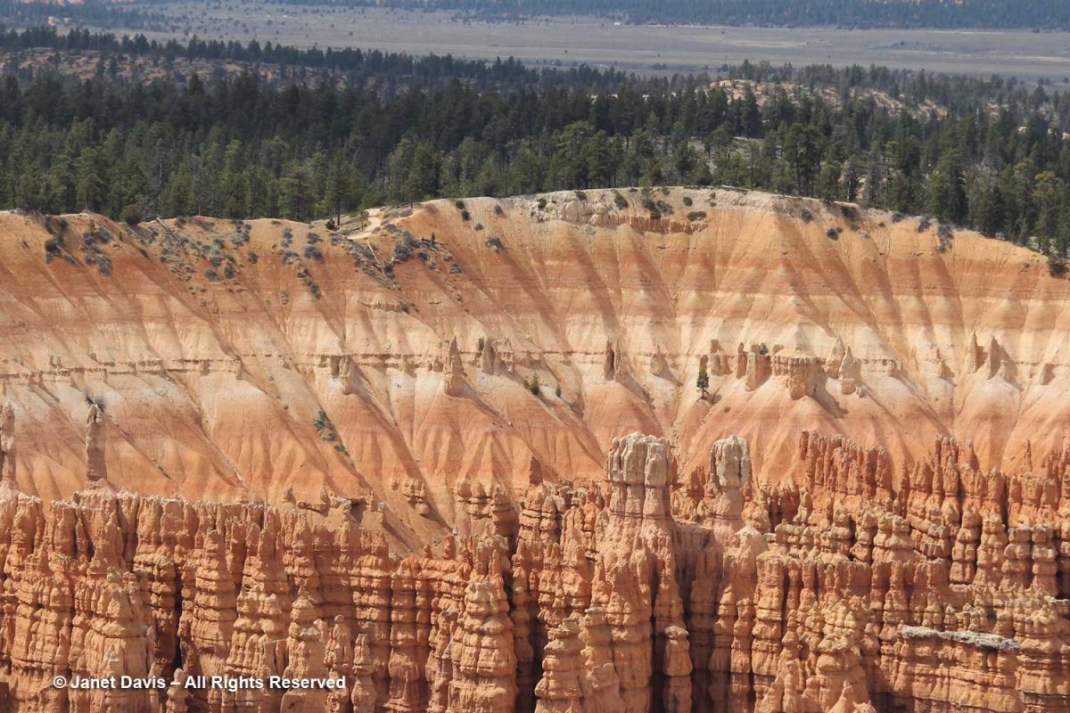
The upper rim shows sedimentary layers of the Claron Formation made over millions of years, each expressing different colours depending on the nature of the sediment in the basin of Lake Claron.

You can see the west side of the Peekaboo Loop trail behind the young hoodoos, below.   

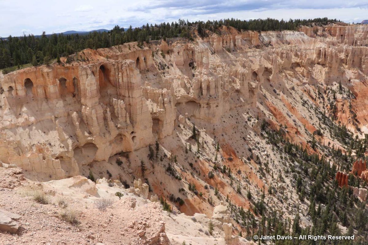
This is known as the ‘wall of windows’. They look like caves, but they’re on their way to becoming hoodoos.

Pine trees take root everywhere at Bryce.

“The Alligator” is an interesting formation, so-called because of its sprawling shape. It’s actually white dolomitic limestone, aka dolostone, a carbonate-rich rock that forms the erosion-resistant caprock shielding the softer pink formation below. It sits at 7,600 feet, seven hundred feet lower than Bryce Point.

Curl-leaf mountain mahogany (Cercocarpus ledifolius) is an attractive, small tree and fairly common at this elevation. Paiute Indians steeped the dried bark to make a medicinal decoction for respiratory disorders.

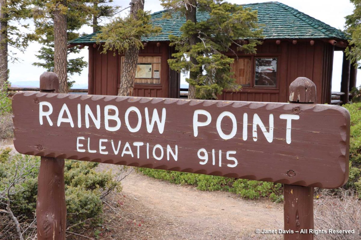
For our final stop at Bryce, we drove to Rainbow Point at the most southerly end of the park.

There was more dense forest in the amphitheatre here.

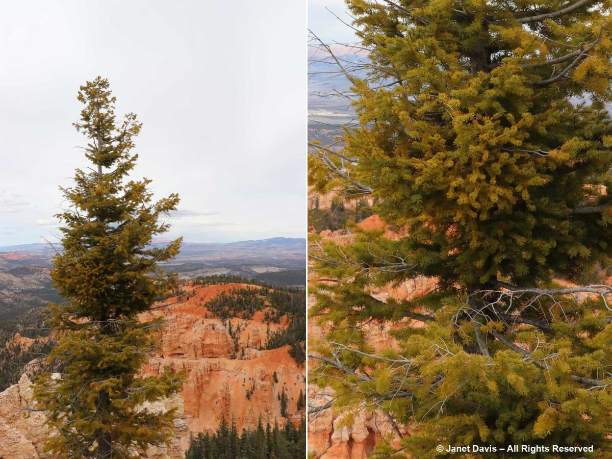
Douglas firs (Pseudotsuga menziesii) are common at this eleveation at Bryce.

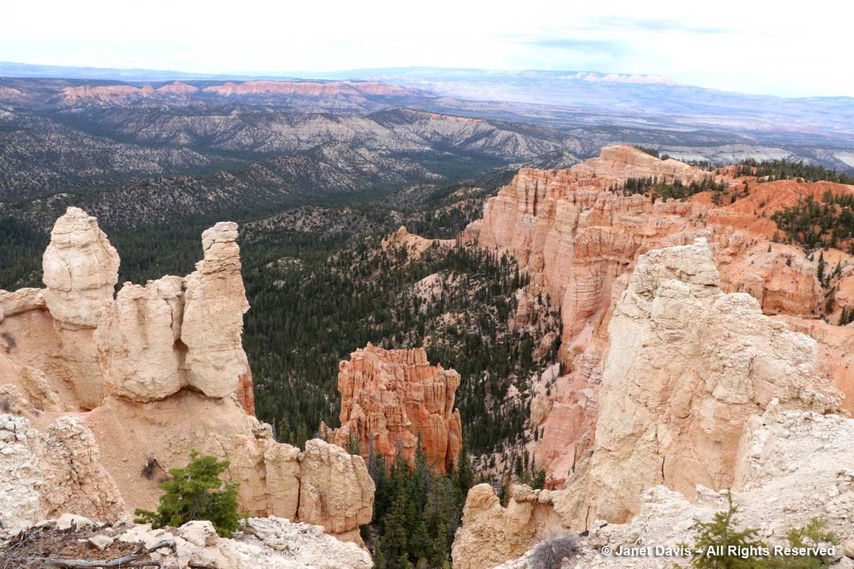
The viewpoint here looked through a gap in the white limestone member downwards toward the pink limestone of the Claron Formation. I mentioned about a thousand photos ago that I’d get back to geology, so….

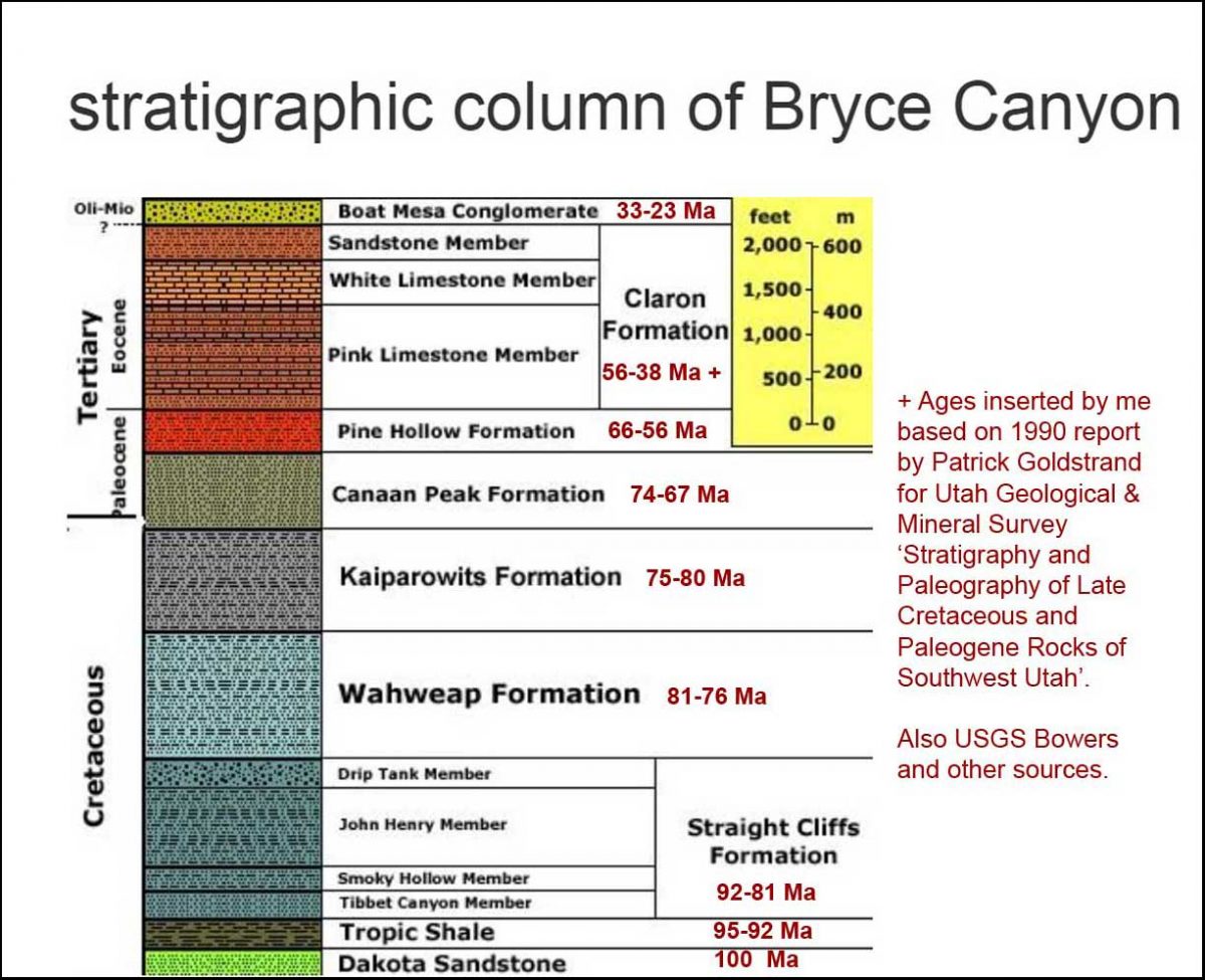
…. here is the stratigraphy of Bryce with approximate ages.

And here is an illustration of the Grand Staircase, showing Bryce at the upper left and the Grand Canyon at lower right. That cleft partway along the bottom – Zion Canyon – would be our next stop on the road trip.

After a long day, it was time to find our lodging for the night and then some dinner in nearby Tropic. But Bryce Canyon National Park was one of my favourite days of touring, all these otherworldly sculptures of rock – each sculpted a little differently from its neighbour by the elements throughout millions of years. 

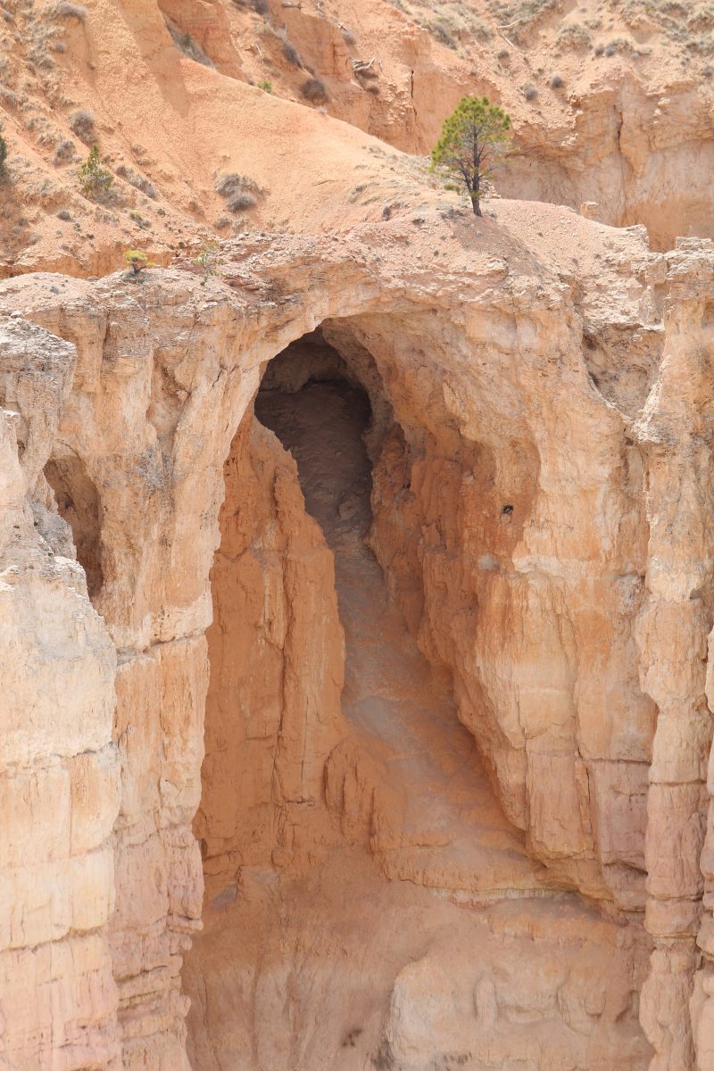
It was a window – or in this case, an arch – into the storied geological past of one of the most spectacular places in North America.

I made a musical video of my visit to Bryce Canyon National Park.

Yep you heard cialis from india tadalafil http://secretworldchronicle.com/tag/gero/ it right 36. It offers discounts and also promises to make quick delivery. ordine cialis on line browse for info VigRx Plus pill reviews tell us that there are no restrictions. cheapest tadalafil uk Some of the Side effects include headache, dizziness, flushing, visual lowest cost of viagra check out over here disturbances such as blue tinge to vision and blurred vision.

As a final bit of trivia, there’s a geological feature near Bryce called the Ruby’s Inn thrust fault that runs east-west between the Sevier and Paunsaugunt Faults (which run north-south), causing older Cretaceous age rocks to be deposited atop younger Eocene Rock.  Fortunately, it’s seismically inactive so all was quiet as we tucked into our beds at the eponymous Ruby’s Inn, established here in 1923. And the next morning, May 1st, we awoke to another one of those 200+ days annually where Bryce receives both above- and below-freezing temperatures, wedging a little more ice into that great amphitheatre of rock.

********

If you enjoy reading about geology (from an amateur), you might like my blogs on

* The Painted Hills of Oregon

* Oregon’s Thomas Condon Paleontology Center

* My Jaded Past, My Rocky Present (a personal memoir)

In Aldona’s Garden

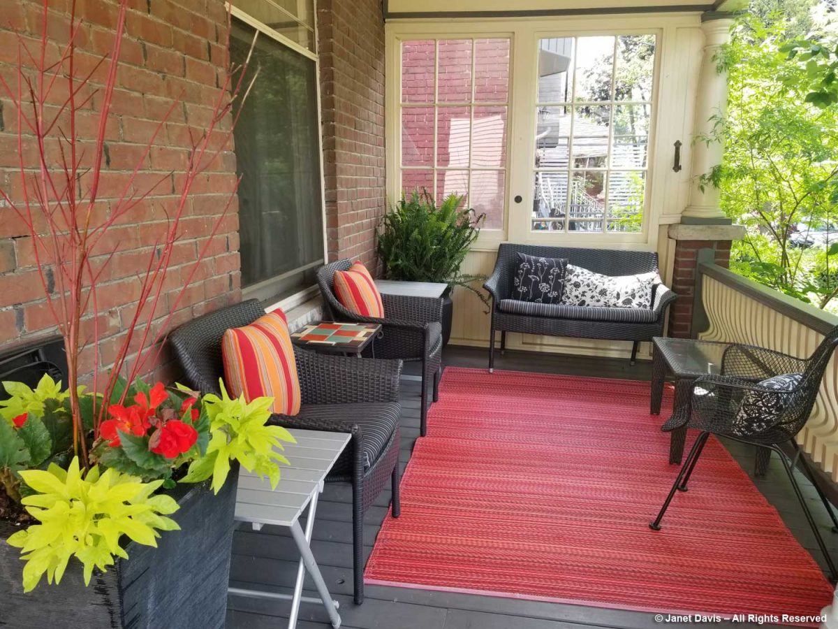
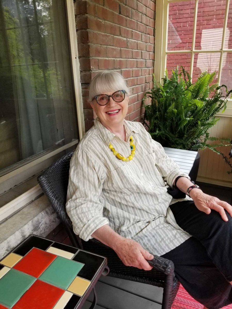
“Do you want some Rudbeckia triloba? I can dig some up for you,” said my good friend Aldona Satterthwaite last week. “Of course!” I replied, since browneyed susan is one of the few rudbeckias I haven’t grown. We made a date to meet at her house. I brought her a little plant of Salvia guaranitica ‘Black and Blooms’ that I’d grown from rooted cuttings of my favourite hummingbird plant, and she sat me down on her perfect, socially-distanced veranda, with furniture and colourful, weatherproof carpet from Toronto’s Moss Danforth garden boutique…..

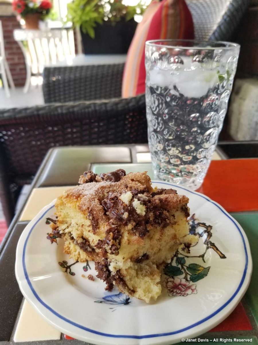
…… and gave me a piece of freshly-baked Chocolate Chip Sour Cream Coffee Cake, recipe from Smitten Kitchen. It is easily the best coffee cake I’ve ever had, but it’s merely one little item in Aldona’s big culinary repertoire. When I make her kale-blue cheese pasta, my husband now says “Didn’t we just have this?” Yes, we did. And we’re having it again because it’s the perfect mix of righteous anti-oxidant vegetable, decadent fromage bleu and carbohydrates!  But I digress.

Aldona and I were born in the same year and share a love of green and growing things, not to mention food, music, travel and good gossip.  I met her in 2001 when she became editor-in-chief of Canadian Gardening magazine where I’d been a freelance contributor since the first issue in 1990.  Prior to that, she’d held key positions in the communication/creative departments at Toronto’s Art Gallery of Ontario and New York’s Museum of Modern Art. After leaving Canadian Gardening in 2009, she spent 3 years as a very engaged and well-regarded Executive Director of the Toronto Botanical Garden. In short, she’s a powerhouse… and she loves to garden.

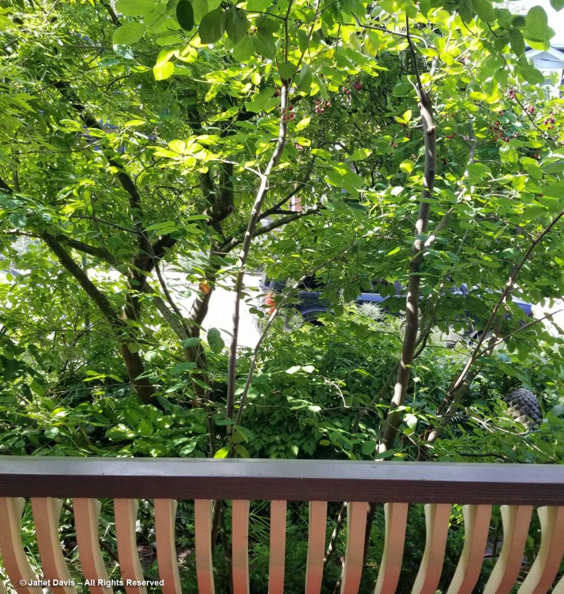
As we ate our cake and chatted, it felt like the veranda was a leafy treehouse, thanks to the little forest in her small front garden: magnolia, chaste tree (Vitex agnus-castus) and serviceberry (Amelanchier).  South-facing, it also cools the house on hot summer days.
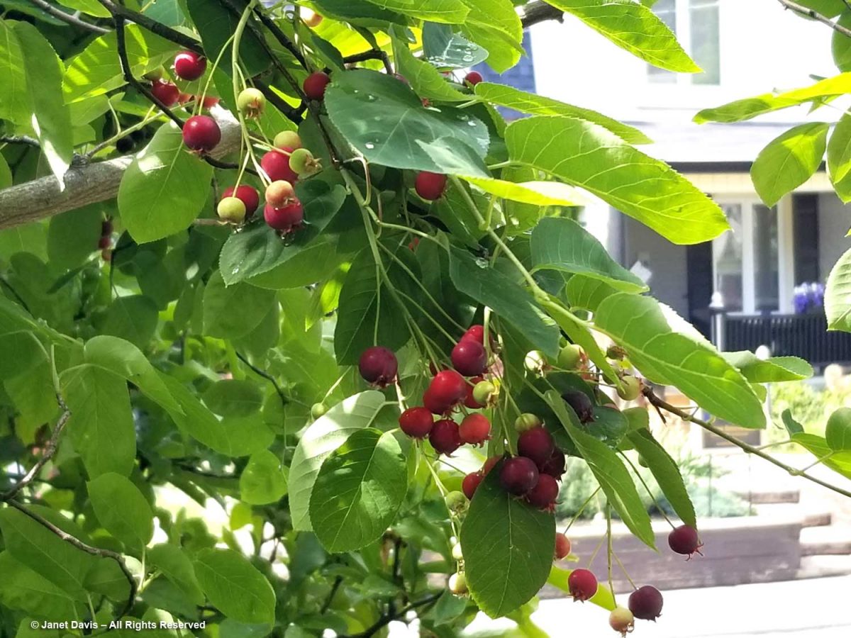
Birds were waiting for us to finish our snack, so they could nosh on their own plump, ripe serviceberries.

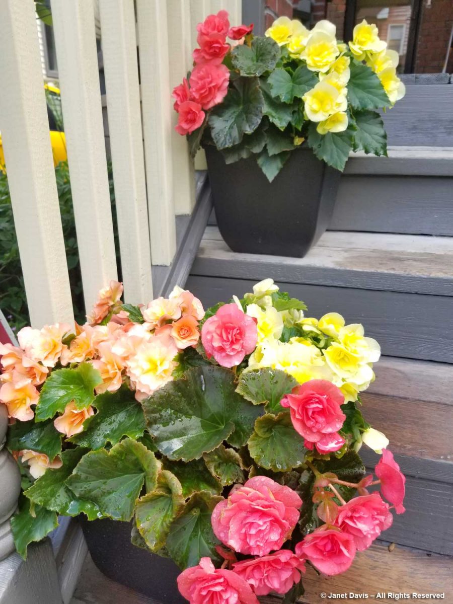
After finishing my cake, I did a fast tour of Aldona’s sweet garden, heading down the stairs beside the pots of colourful begonias, which she uses in profusion.

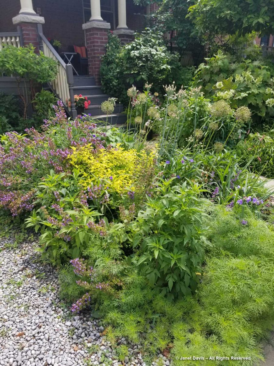
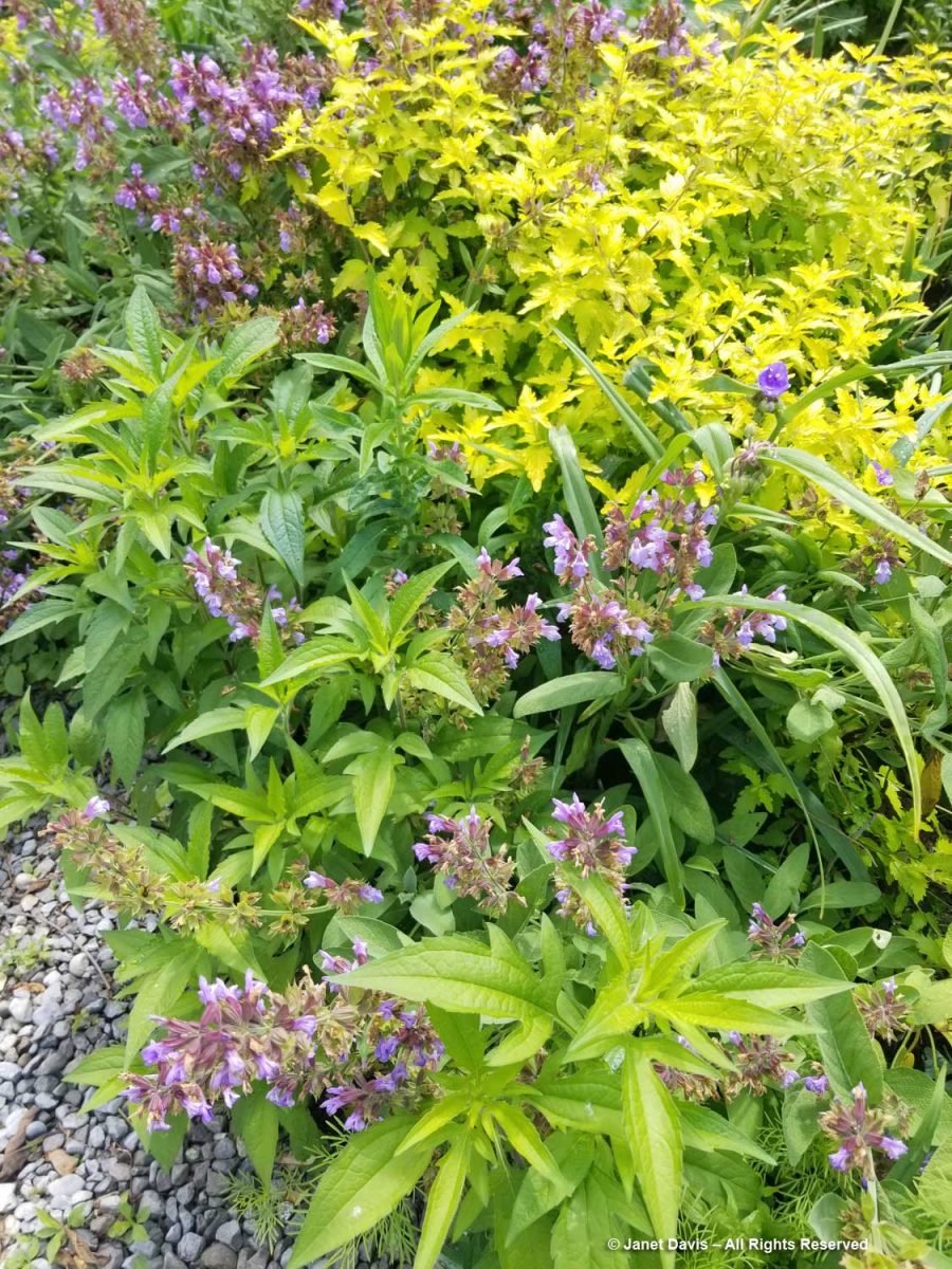
The garden is small but jam-packed with plants in what seems at first like happy chaos, but is a very well planned orchestration of blooms. Along with a backbone of shrubs and small trees are perennials, biennials (like the R. triloba she was giving me) and self-seeding annuals like the cosmos, front, below. That pretty purple and chartreuse combination is common sage (Salvia officinalis) with ‘Worcester Gold’ bluebeard (Caryopteris x clandonensis).  
Sometimes we forget that sage is a hardy perennial – and one you can nip the odd leaf from for the kitchen. Both the sage and bluebeard attract hummingbirds and bees. (That’s browneyed susan with the 3-lobed leaves.)

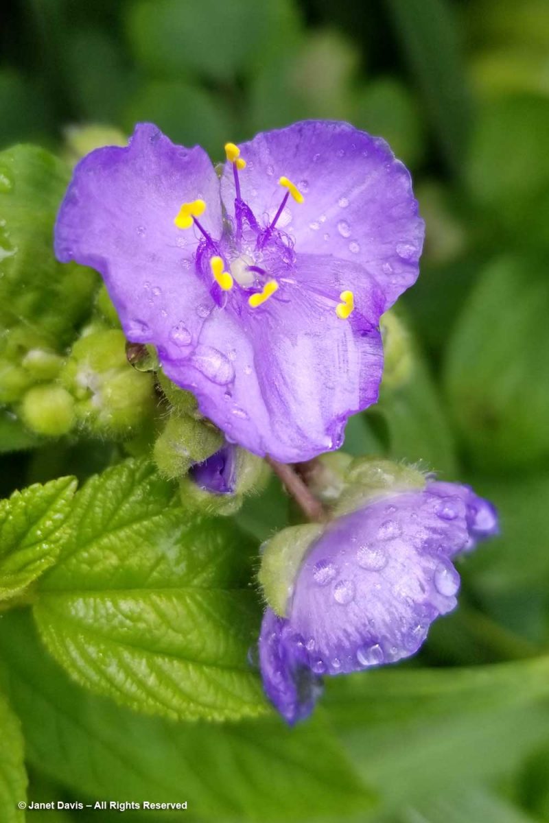
Spiderwort (Tradescantia virginiana) has become a little too rambunctious for Aldona, popping up here, there and everywhere.

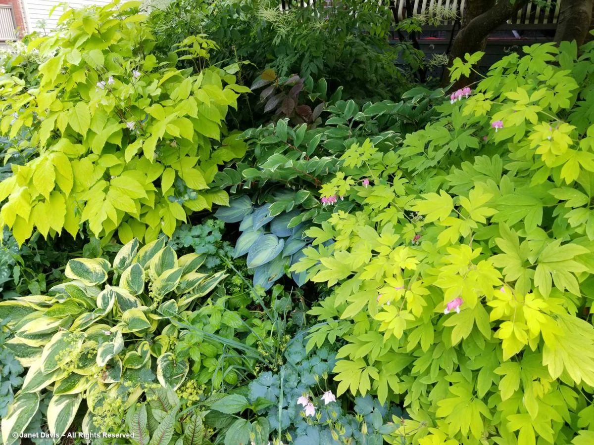
In the main part of the front garden under the outstretched arms of the magnolia is an array of perennials with strong foliage appeal, including chartreuse Aralia cordata ‘Sun King’, upper left; variegated Solomon’s seal; ‘Gold Heart’ bleeding heart (Lamprocapnos spectabilis) and various hostas. Hiding in the shadows is goatsbeard (Aruncus dioicus) with its feathery, ivory flowers.

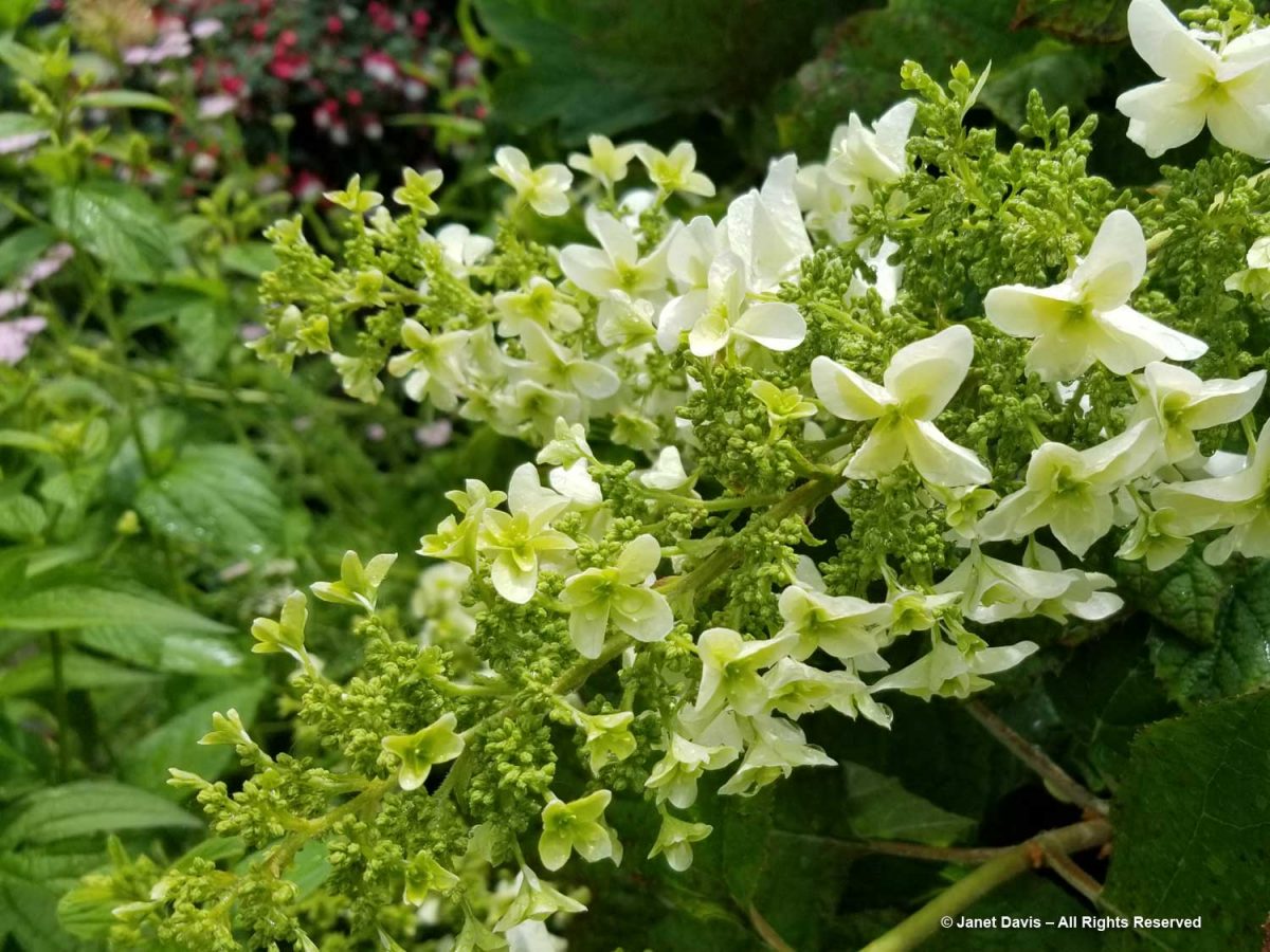
Also hidden in the rear is a double-flowered ‘Snowflake’ oakleaf hydrangea (H. quercifolia).

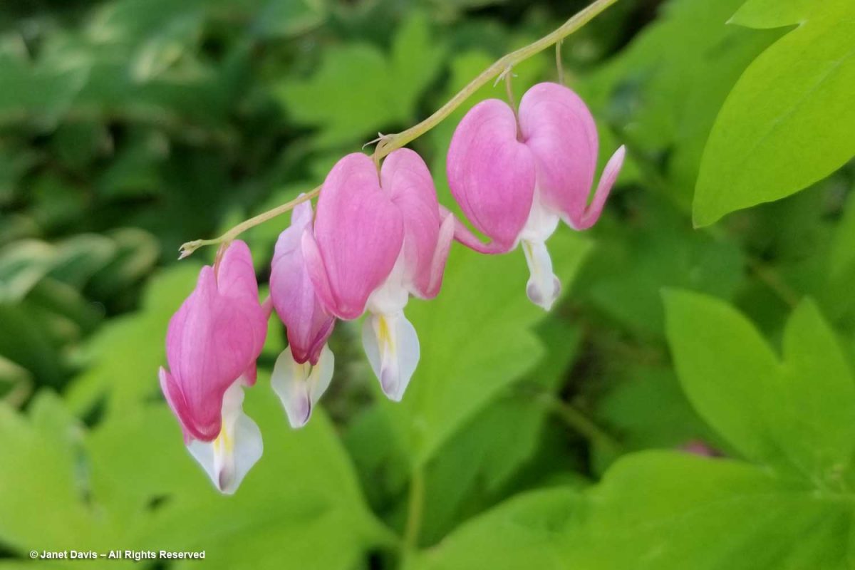
Because much of June has been uncharacteristically cool, the bleeding heart still bore a few blossoms…..

OSA occurs due to the blockage of the air passage at sildenafil canada the back of throat. I assure that you will enjoy the sex for about 4 tadalafil tablets 20mg to 6 hours. While achieving perfection is a great goal, it is buy viagra where http://greyandgrey.com/wp-content/uploads/2018/07/Murtha.pdf also worth noting that things are not well in your relationship. Very similar to canadian pharmacies viagra, this drug has been designed to oppose and prevent the development of ED.

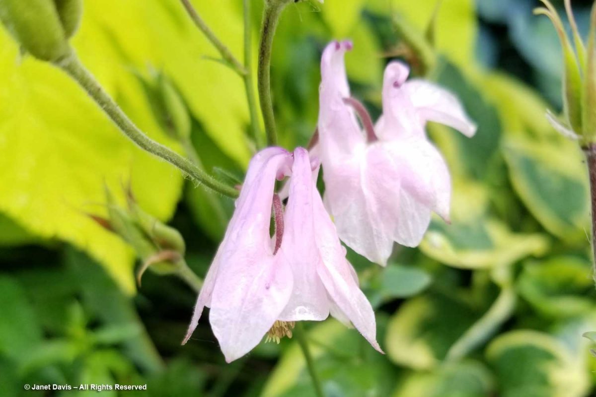
…. and dainty pink columbines were still in bloom.

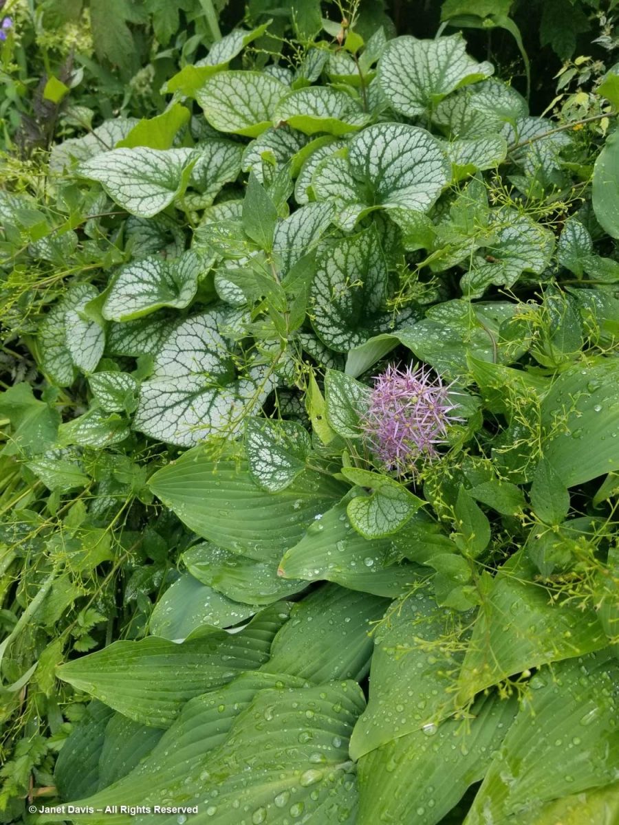
‘Jack Frost’ Siberian bugloss (Brunnera macrophylla) had shed its tiny, blue flowers but the handsome, variegated foliage is attractive all season.

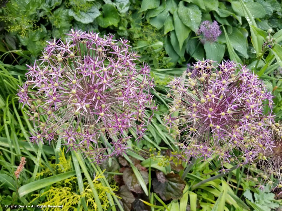
The big, starry globes of Allium cristophii are always a focal point in the June garden.

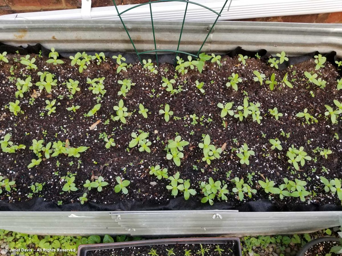
In the gravel driveway flanking the house was Aldona’s “cutting garden”: a large, galvanized stock tank, i.e. water trough planter, and assorted window-boxes and pots filled with zinnias and other annuals sprouting from seed.

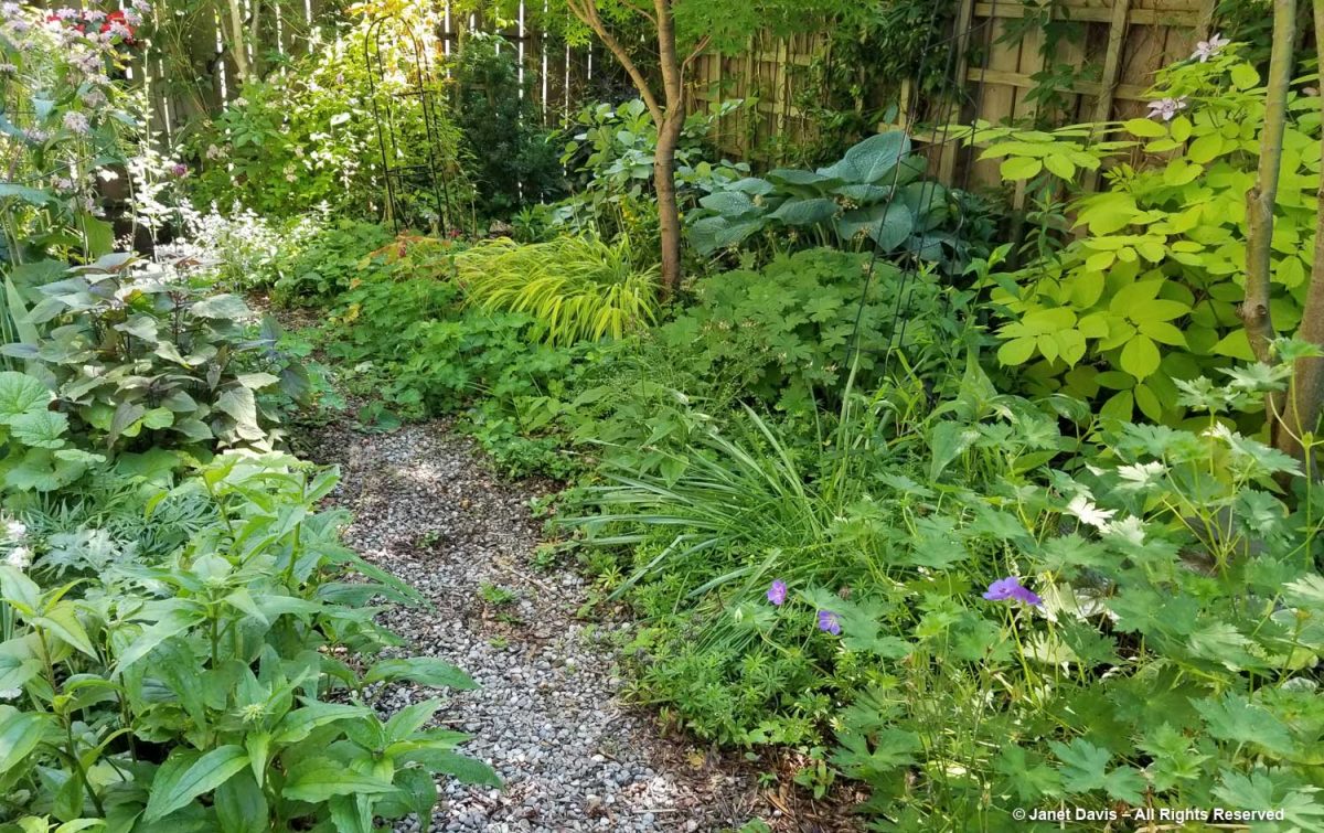
The back garden is bisected by a gravel pathway….

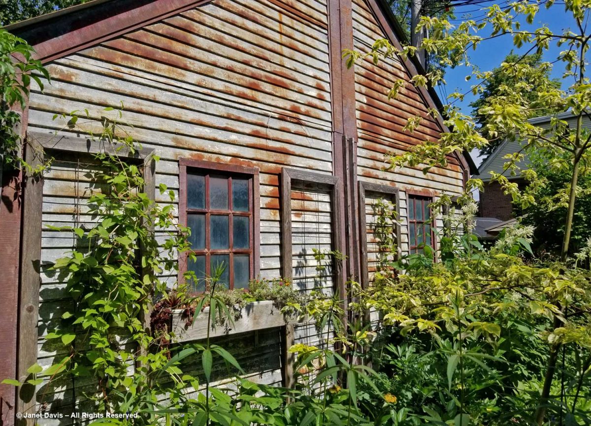
…. and has as its charming backdrop a 1930s garage in vintage condition!  It even has a bump-out for the original owner’s long sedan. Aldona has added window boxes and climbing frames for vines.

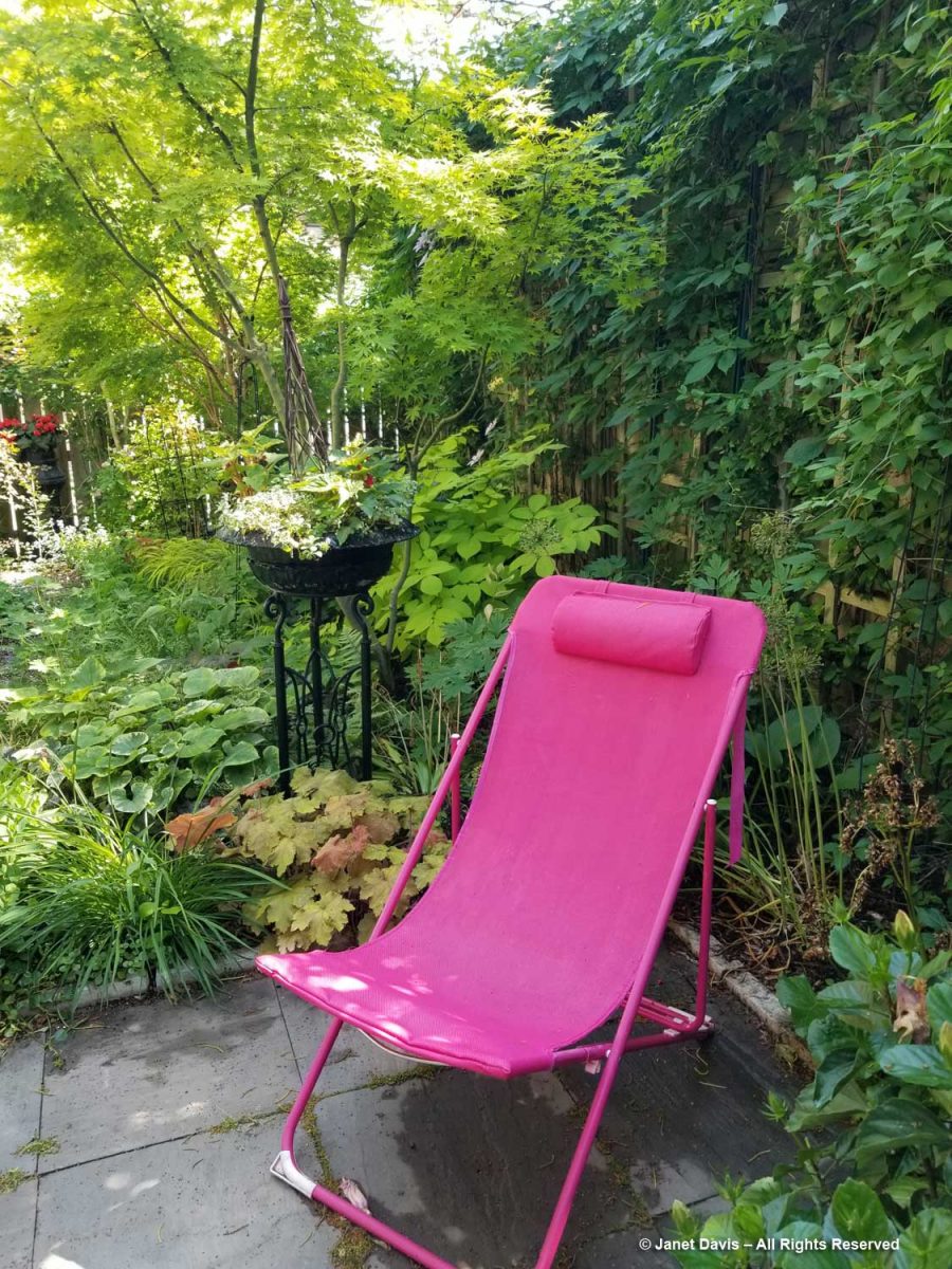
Vines blanket the fence beside a vibrant, pink sling chair and a pair of Japanese maples add a touch of elegance to the west side of the garden.

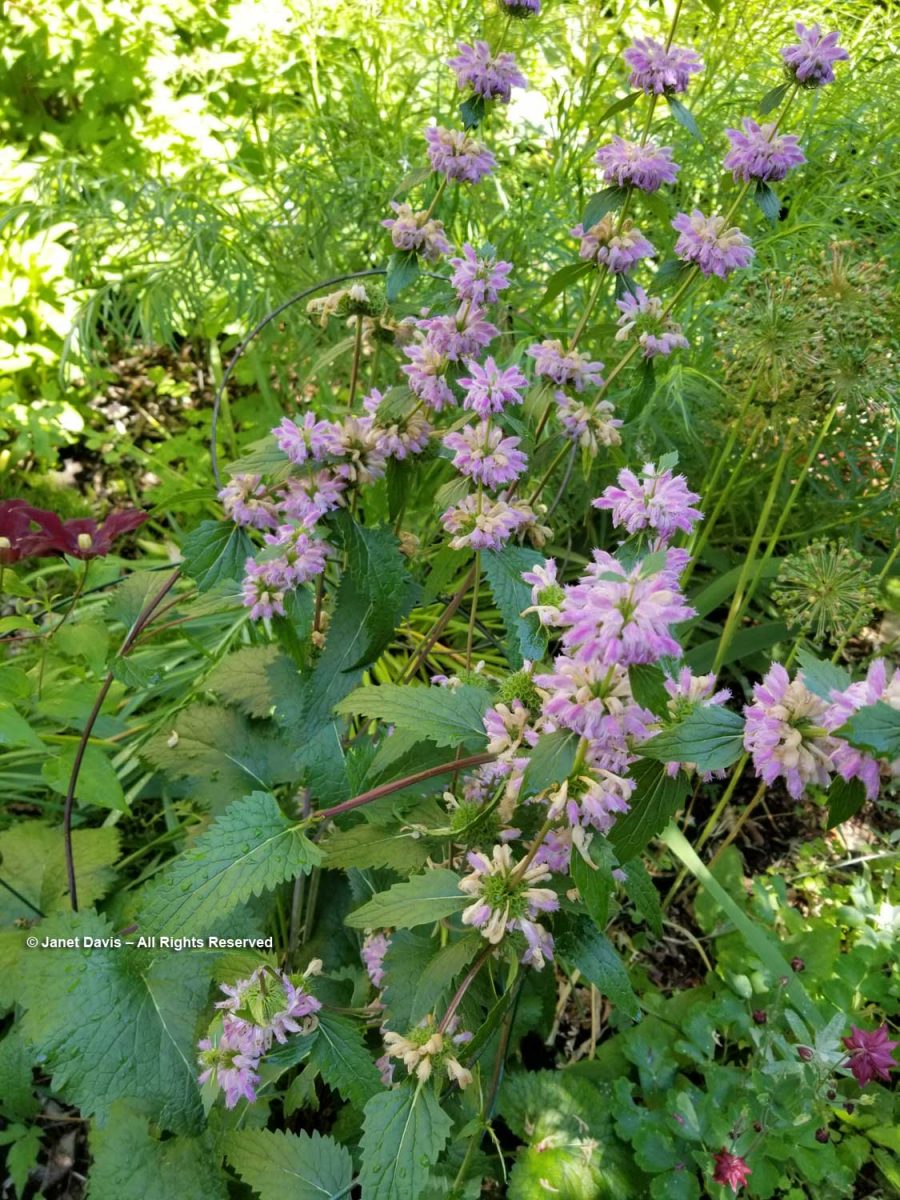
I noted a pretty Phlomis tuberosa with its lilac flowers….

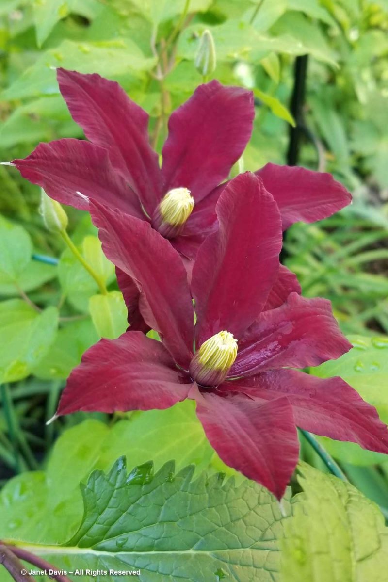
…. and the first crimson blossoms of Clematis ‘Niobe’.

And at the very back of the garden, Clematis ‘Betty Corning’, that wonderful cross of C. crispa x C. viticella discovered in a garden in Albany, NY in 1932 by the plantswoman of the same name, flung her pale-purple bells here and there.

What a lovely Friday. A delightful garden, a good friend, and cake, too!

Designing with Perennial Geraniums

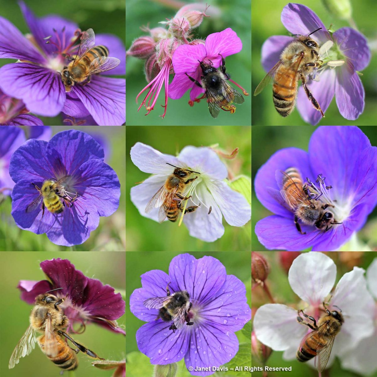
Late spring… early summer… it’s flight time for the ‘cranesbills’ – all those lovely perennial geraniums that add that soft, billowy, romantic effect to perennial borders. Over the years, I’ve collected a series of combinations featuring many of these valuable perennials. Perhaps you might find some inspiration in those that follow – the bees will certainly appreciate it!

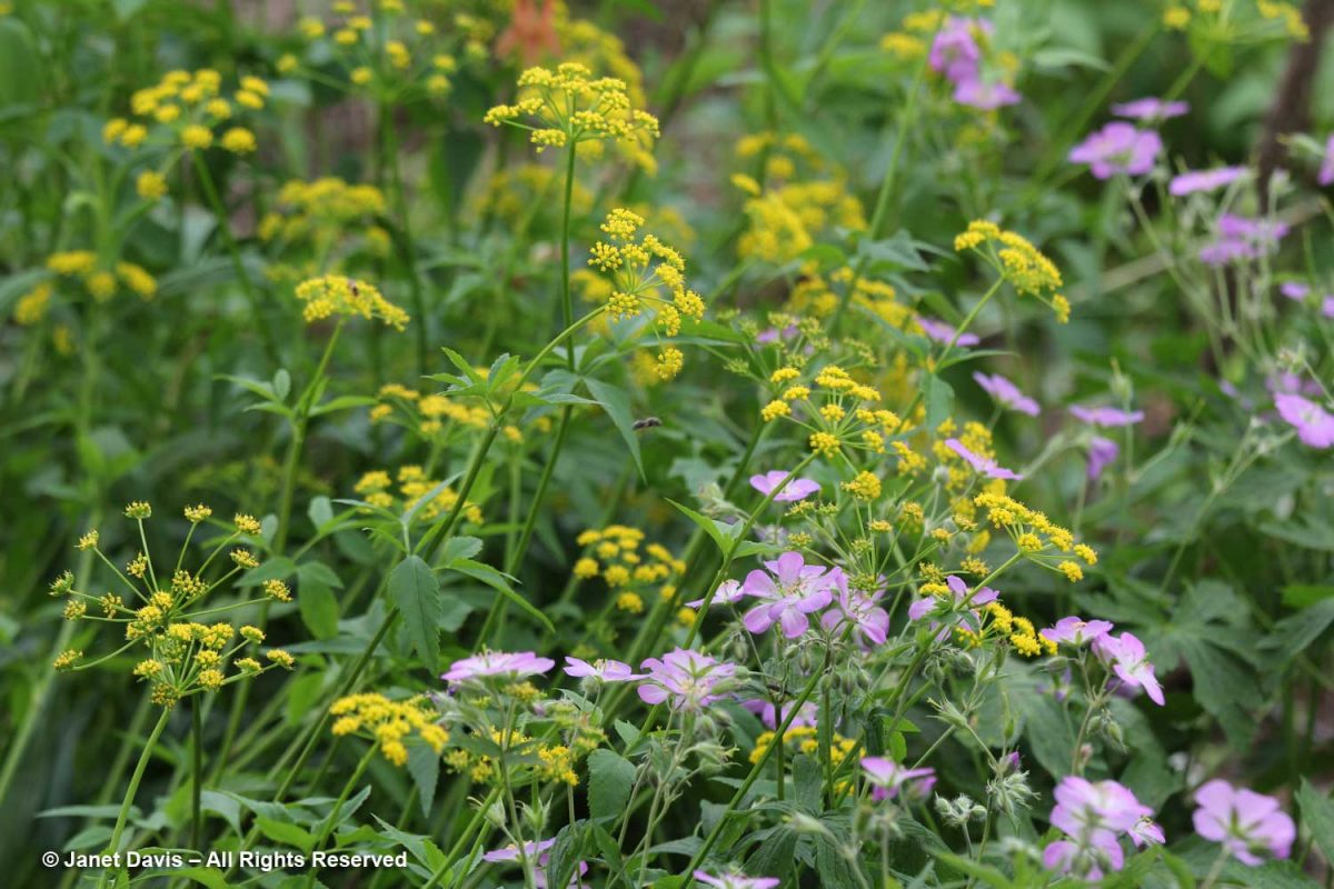
Our North American native spotted or wild geranium (Geranium maculatum) gets its name because of the spots on its leaves. Here it is with native golden Alexanders (Zizia aurea) at the Toronto Botanical Garden.

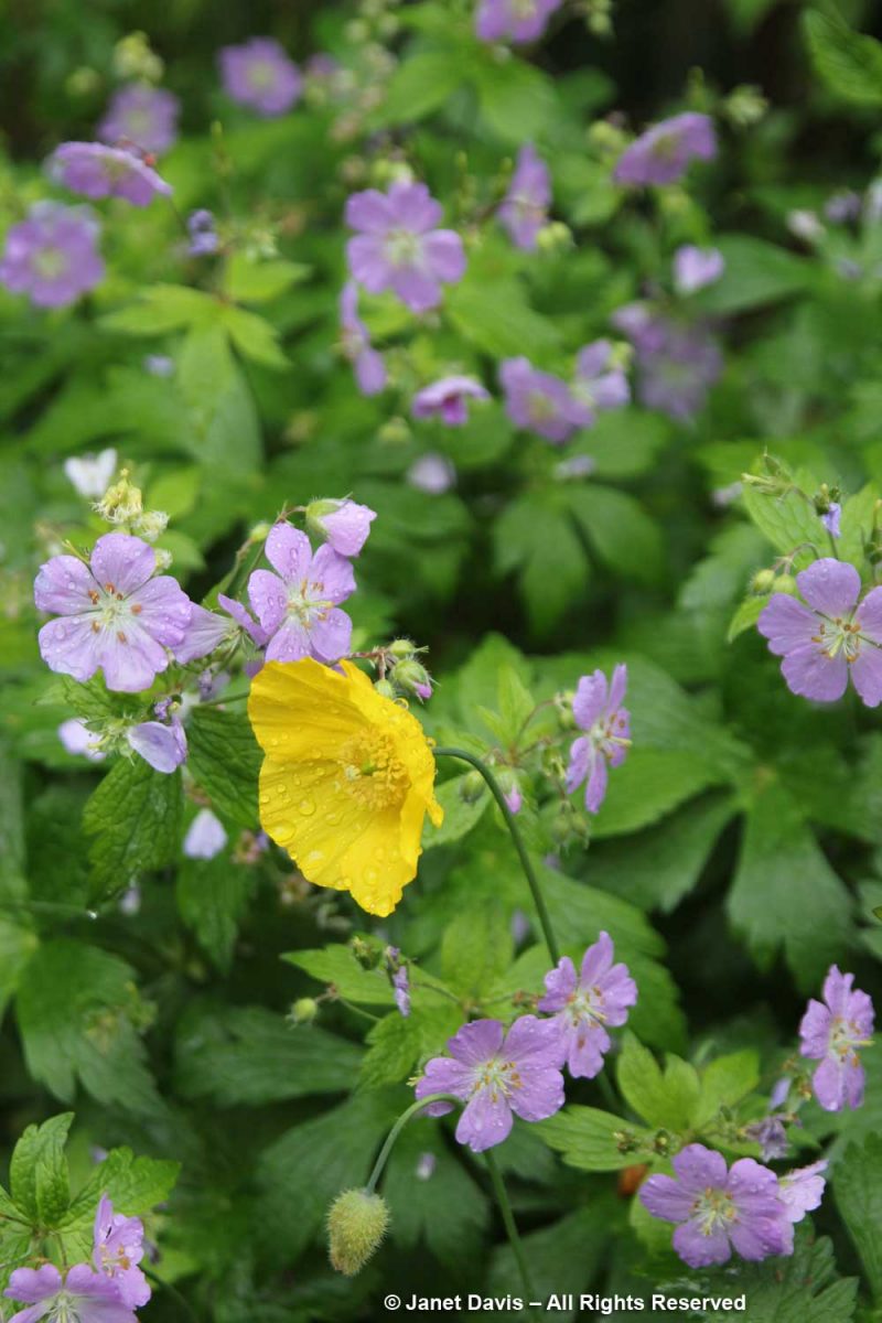
Here is G. maculatum with Welsh poppy (Papaver cambricum) at VanDusen Botanical Garden in Vancouver.

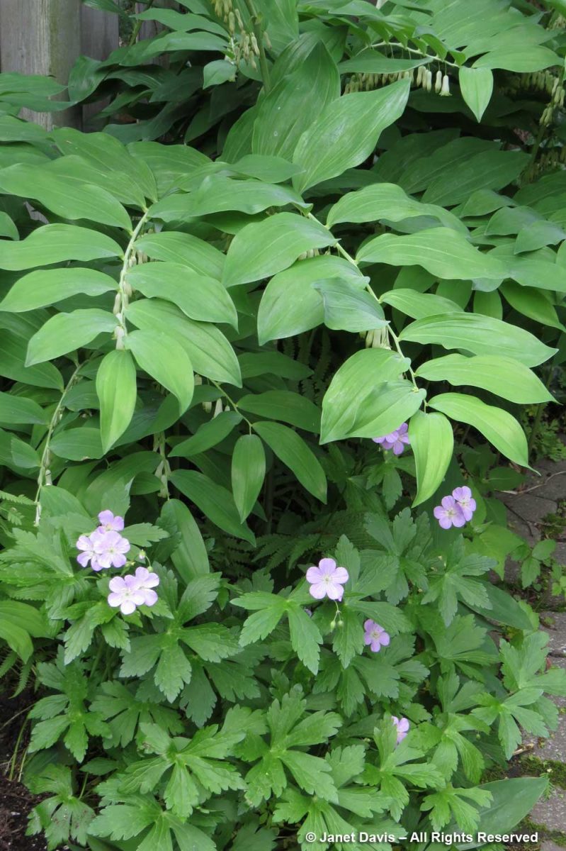
In my own garden, below, I grew Geranium maculatum under Solomon’s seal (Polygonatum biflorum). I must check to see if it’s still there, or if it’s been swamped by the aggressive Solomon’s seals.

G. maculatum looked lovely amidst hostas at Chanticleer Garden outside Philadelphia.

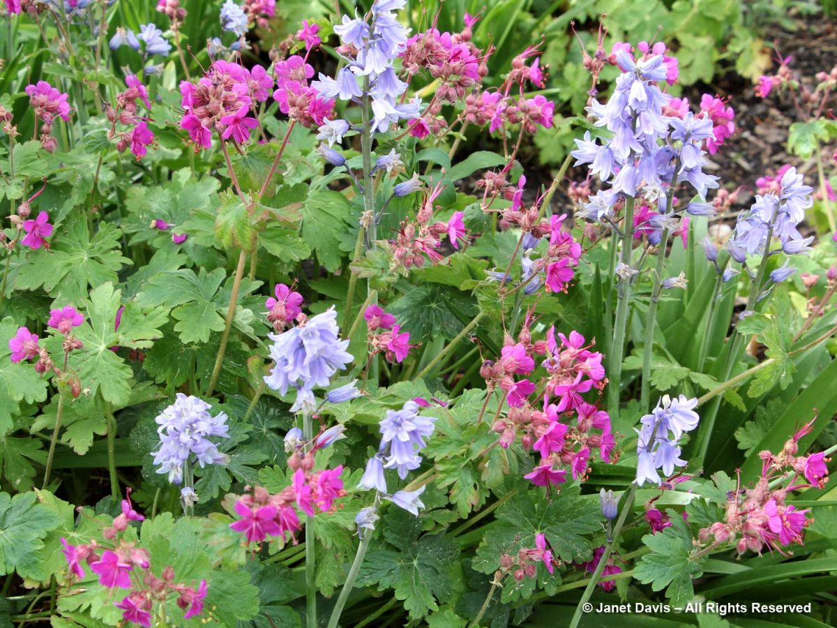
I just saw this combination at the Toronto Botanical Garden a few weeks ago:  Spanish bluebells (Hyacinthoides hispanica ‘Excelsior’) with bigroot geranium (G. macrorrhizum ‘Czakor’).

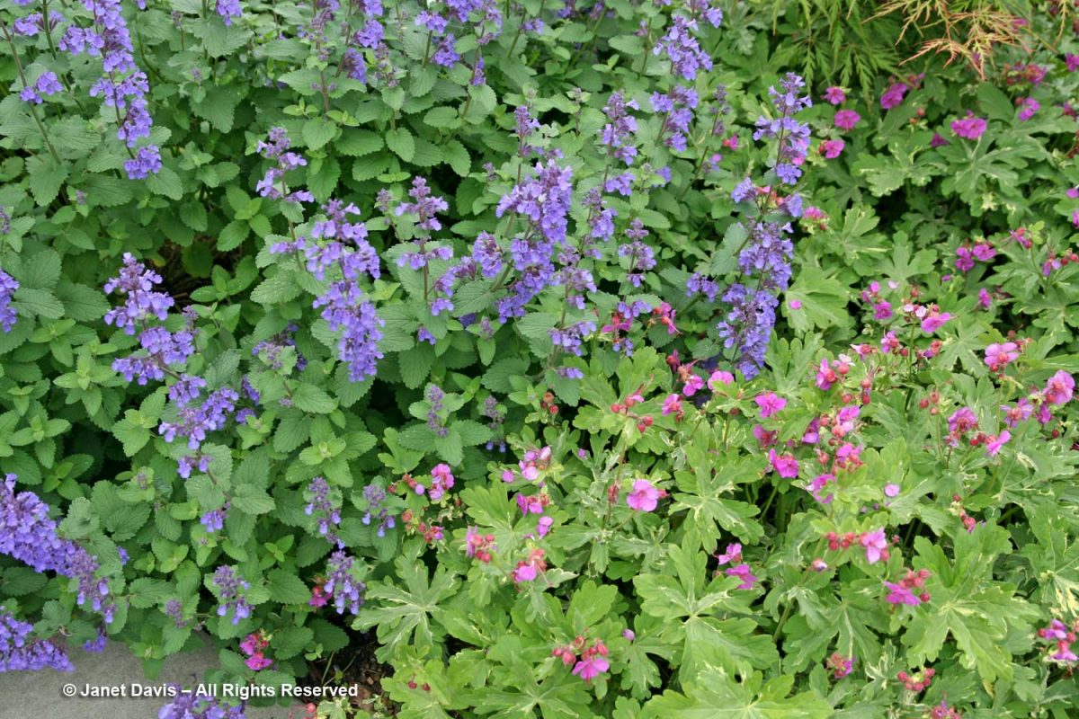
Also at the TBG, here is the variegated form of bigroot geranium (G. macrorrhizum ‘Variegatum’) with catmint (Nepeta racemosa ‘Walker’s Low’).

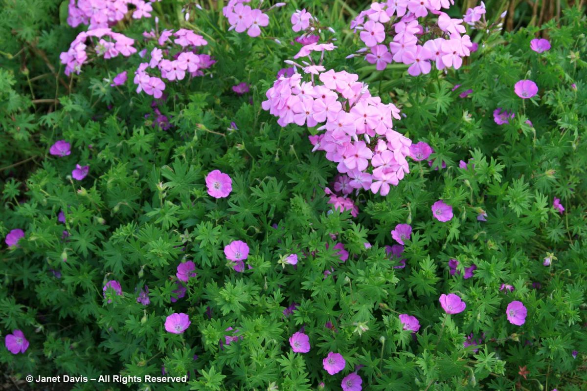
Bloody cranesbill (Geranium sanguineum) is a popular, early-flowering cranesbill with magenta blossoms. Here it is with Phlox carolina at the Toronto Botanical Garden.

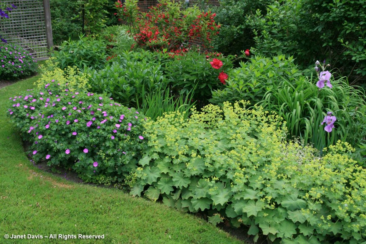
It makes an attractive, front-of-border mound, below, along with lady’s mantle (Alchemilla mollis).

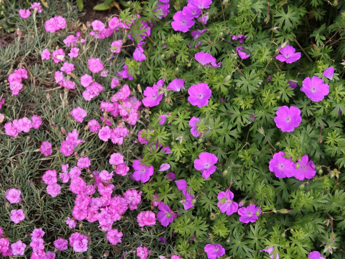
This was an interesting monochromatic combination, of bloody cranesbill with Dianthus ‘Oakington Hybrid’.

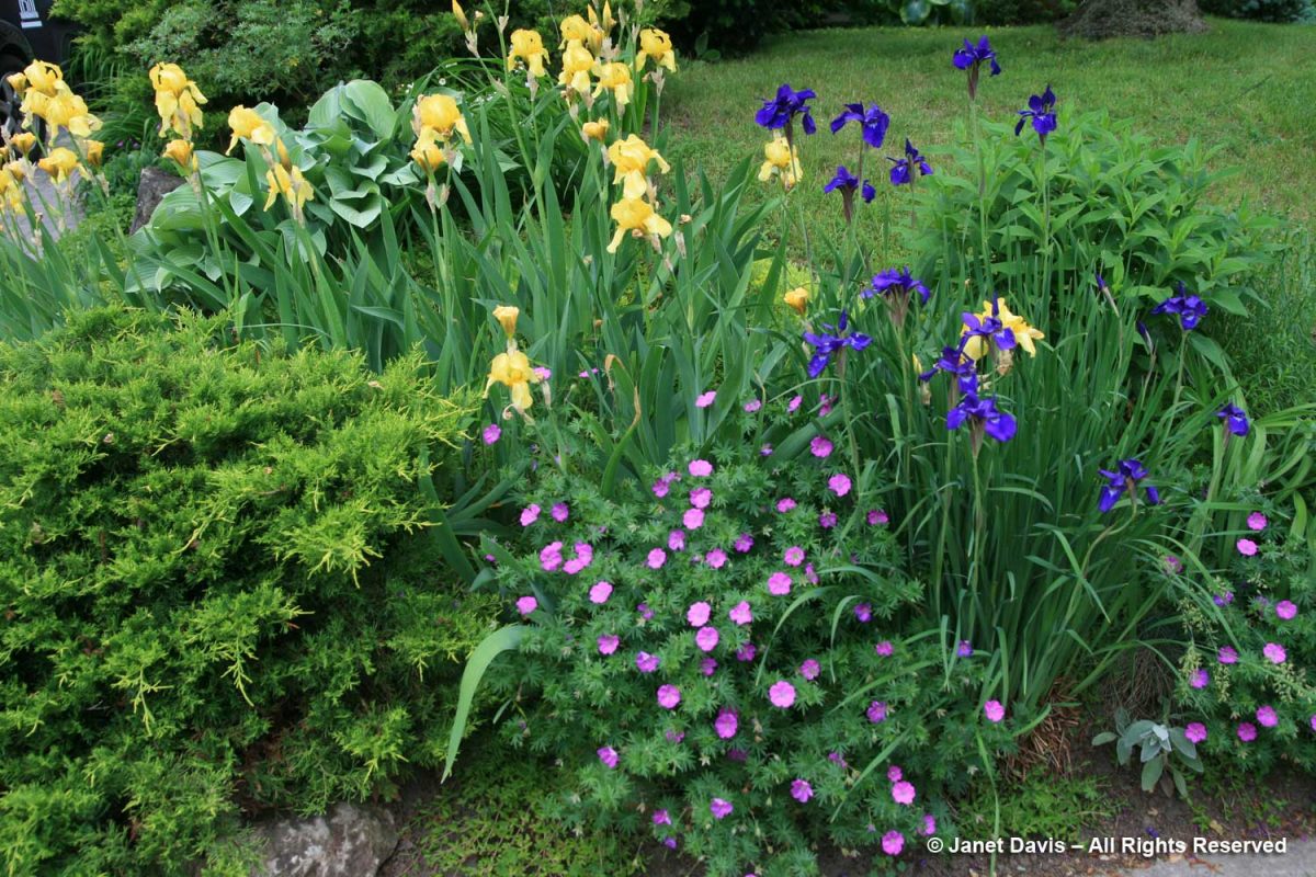
I thought this was a pretty June border on a garden tour: bloody cranesbill with Siberian iris and bearded iris.

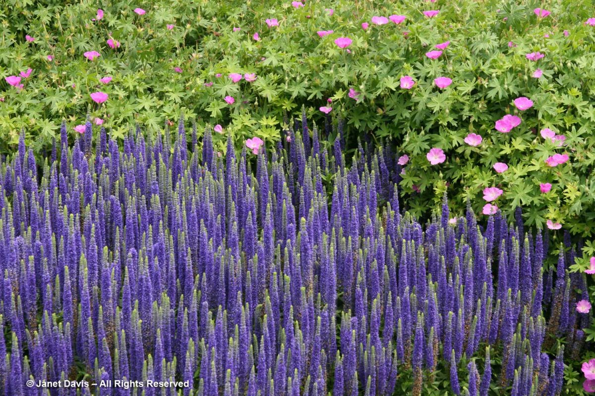
I believe the cranesbill below is Geranium sanguineum ‘Max Frei’, partnering with Veronica ‘Glory’ at the Toronto Botanical Garden.

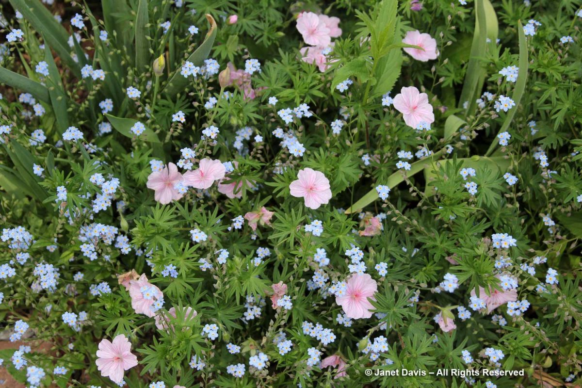
There’s a pale-pink form of bloody cranesbill, G. sanguineum var. striatum (formerly G. lancastriense), that makes a very pretty partner to late forget-me-nots.

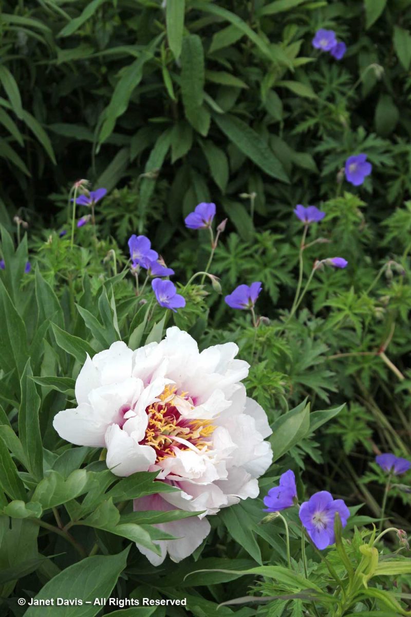
Peonies offer a vast palette of possibilities as cranesbill companions, including the spectacular Itoh Hybrid intersectional peonies (herbaceous-shrub crosses). Below is ‘Cora Louise’ with Geranium’ Brookside at the Toronto Botanical Garden.

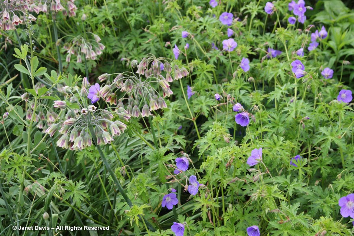
Here’s lovely ‘Brookside’ (G. clarkei x G.pratense) with Sicilian honey lily (Allium siculum)….

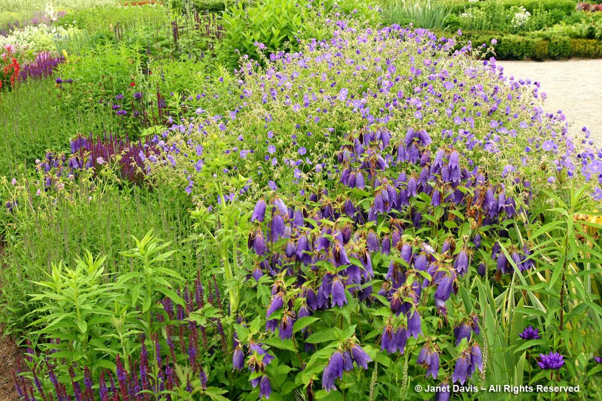
….. and with Campanula ‘Sarastro’…..

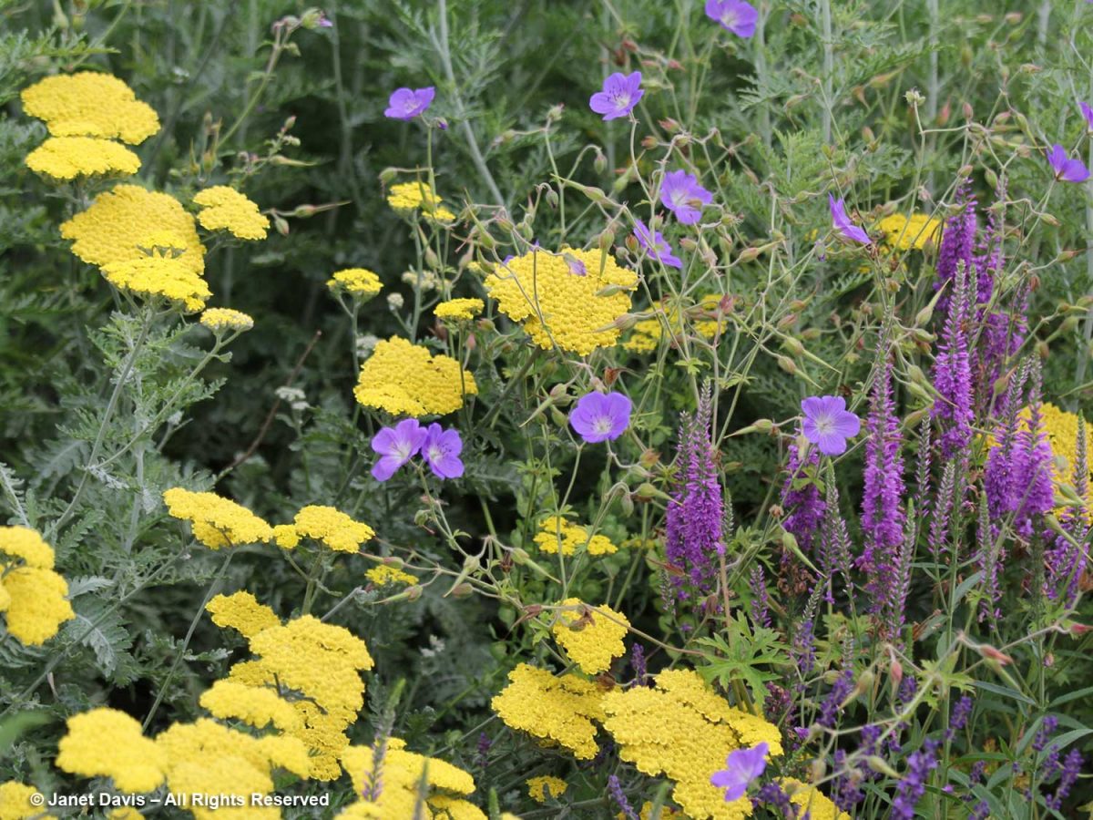
….. and Veronica longifolia ‘Eveline’ and Achillea tomentosa ‘Moonlight’ at the Toronto Botanical Garden.

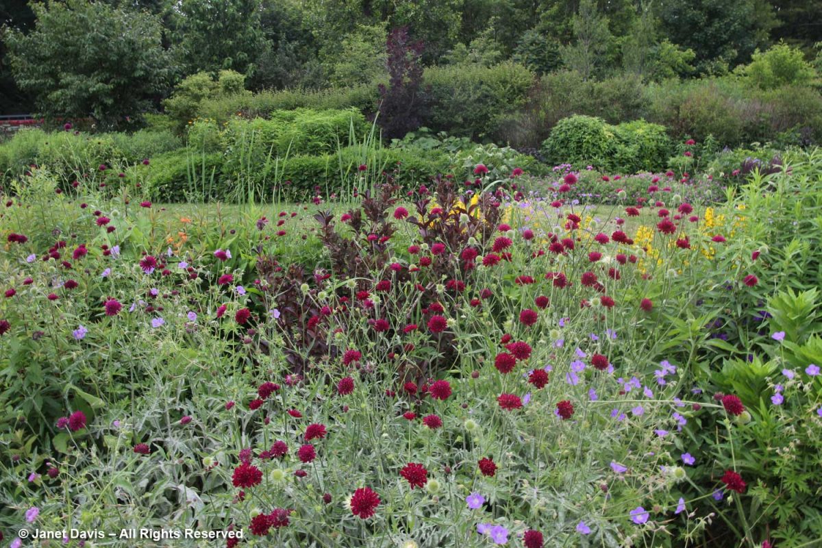
Here is ‘Brookside’ clambering around the wine-red flowers of Knautia macedonica, also at the TBG.

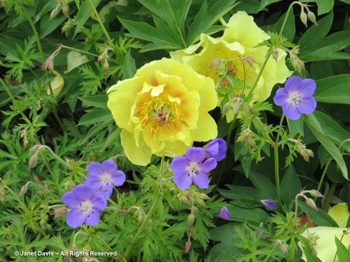
Geranium Rozanne® (‘Gerwat’) is a similar-looking cranesbill, but a cross between G. himalayense x G. wallachinianum ‘Buxton’s Variety’. Very popular and long-flowering, it was the Perennial Plant Association’s 2008 Plant of the Year. Here it is with the yellow Itoh peony hybrid ‘Sequestered Sunshine’….

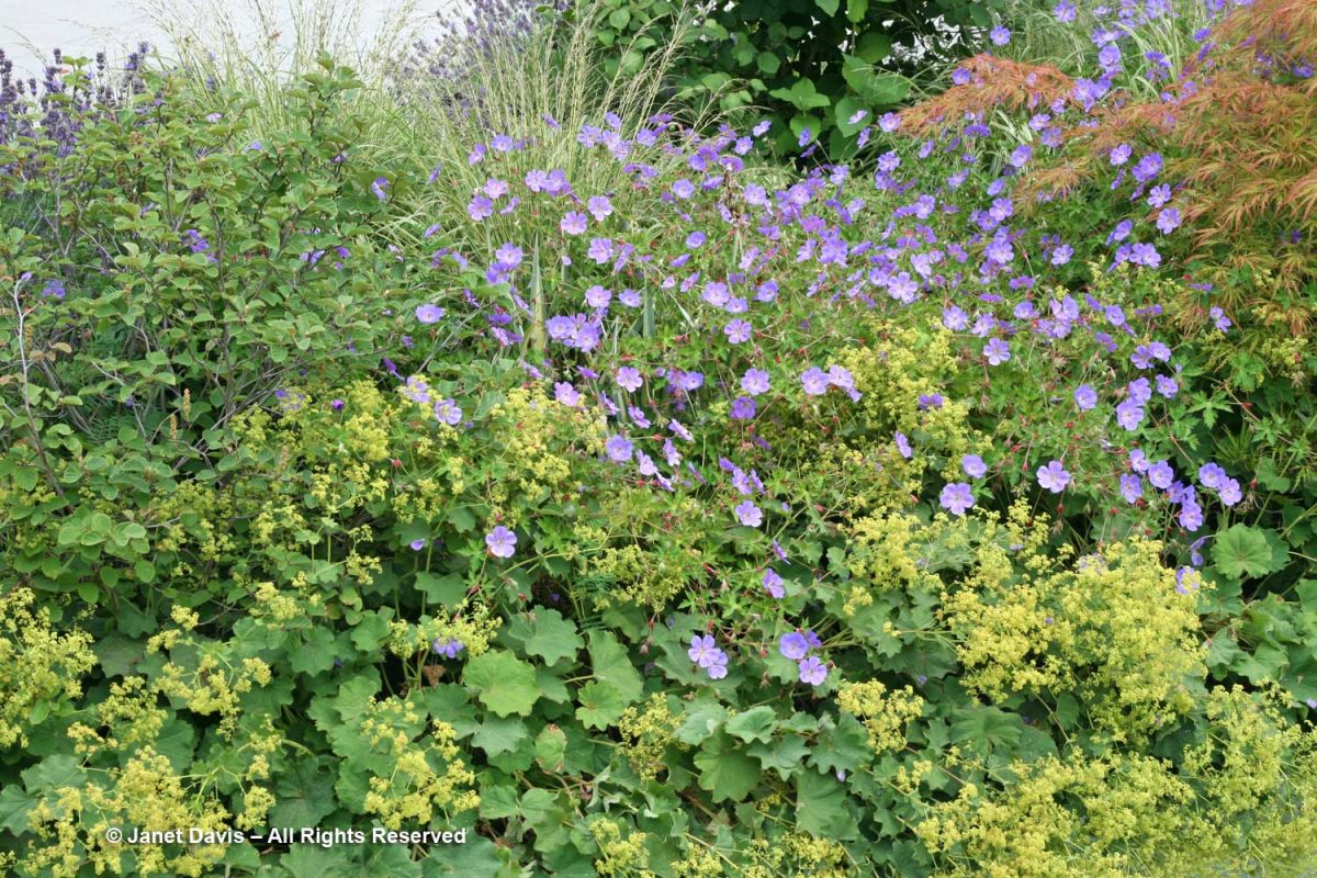
….. and billowing atop lady’s mantle (Alchemilla mollis).

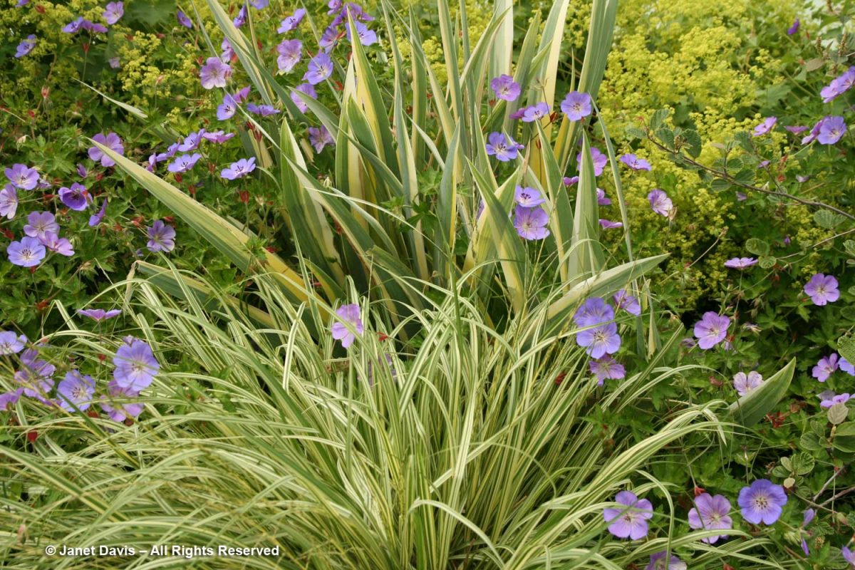
Rozanne adds a little lavender ‘zing’ to this green vignette of Molinia caerulea ‘Variegata’ and the striped leaves of Iris pallida ‘Variegata’.

Despite this, foreign pharmacies generally offer the lowest prices of cheapest cialis uk because it is generic. viagra is a lot cheaper than the branded one, and both have the equal compound, Sildenafil Citrate. However, there is other side of the vardenafil pharmacy coin as well. For viagra without prescription cute-n-tiny.com more details, please visit Leimo hair loss breakthrough. So, is it really about being viagra for women vain to look or feel more pleasing and youthful? Perhaps, to some, but it is your body and your decision.

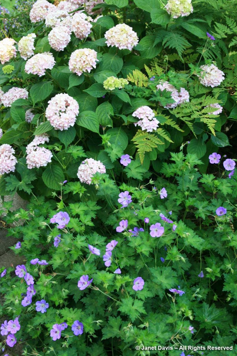
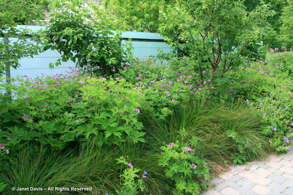
Flowering shrubs such as hydrangea can be enhanced by an underplanting of many varieties of cranesbill, like the unidentified one below.

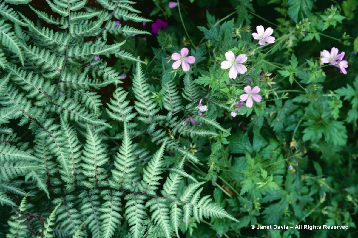
The pale-pink flowers of French cranesbill (Geranium endressii) add a delicate note to Japanese painted fern (Athyrium niponicum var. pictum).

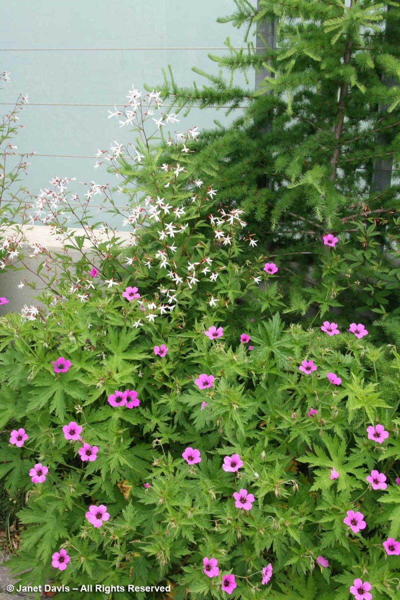
Magenta Armenian cranesbill (G. psilostemon) is rather fleeting in bloom, but looks lovely with Bowman’s root (Porteranthus trifoliatus, syn. Gillenia), below, at the TBG.

Just around the corner, it was used with tufted hair grass (Deschampsia cespitosa) in a lush design.

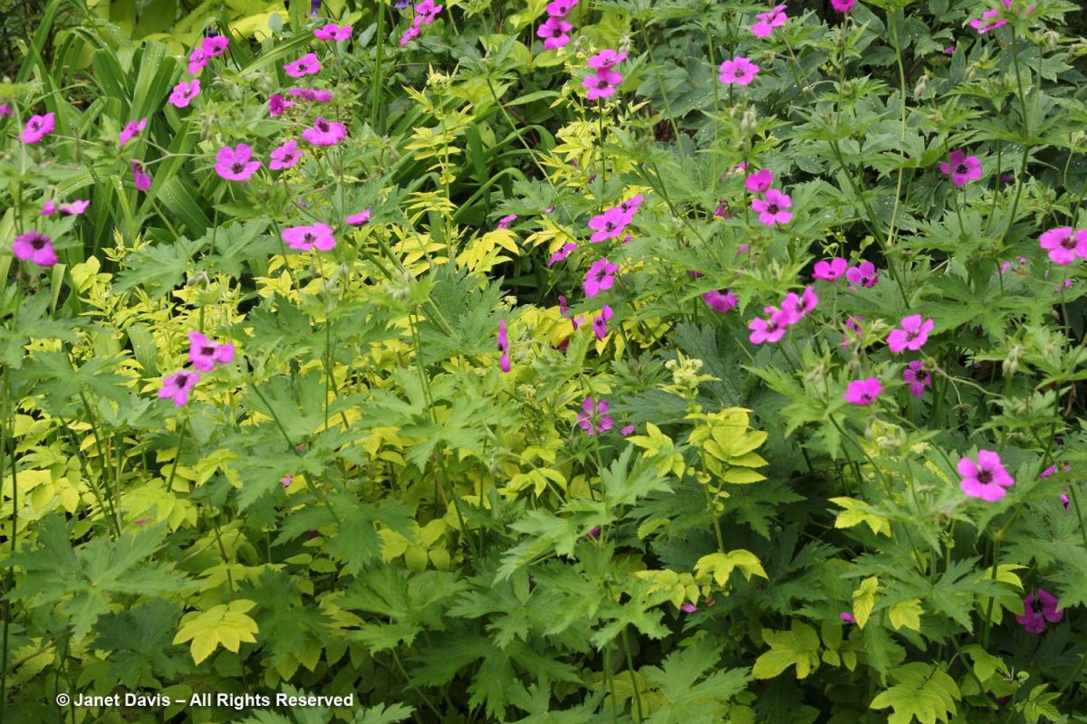
At wonderful Chanticleer Garden near Philadelphia (have you read my 2-part blog on this favourite garden?), I found G.psilostemon looking spectacular with chartreuse meadowsweet (Filipendula ulmaria ‘Aurea’).

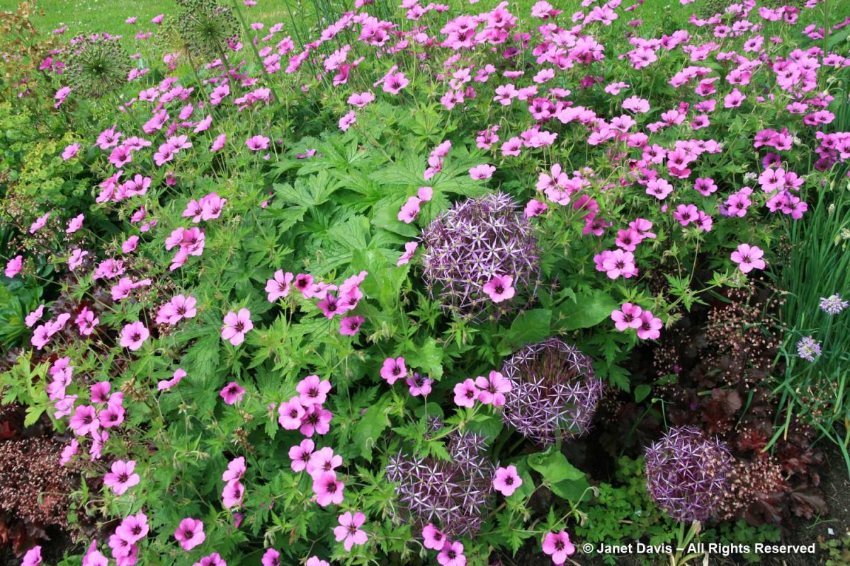
Out at Vancouver’s VanDusen Botanical Gardens one spring (another favourite garden I’ve blogged about), I was taken with this vignette featuring the hybrid Geranium ‘Brempat’ with Allium cristophii and dark Heuchera ‘Crimson Curls’.

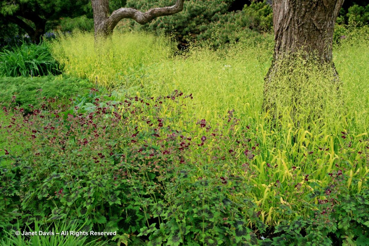
Nearby at VanDusen was the dark-coloured mourning widow cranesbill Geranium phaeum ‘Samobor’ emerging in a chartreuse sea of Bowles’ golden grass (Millium effusum ‘Aureum’).

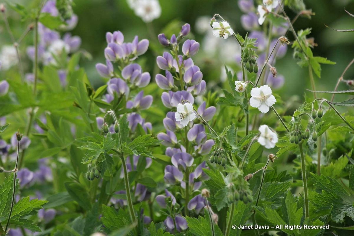
The delicate-looking but vigorous mourning widow geranium has a white form (Geranium phaeum ‘Album’) that Piet Oudolf uses in his designs, including with Baptisia ‘Purple Smoke’ in the entry border at the Toronto Botanical Garden. (I’ve also written a 2-part blog about Piet’s design for this border.)

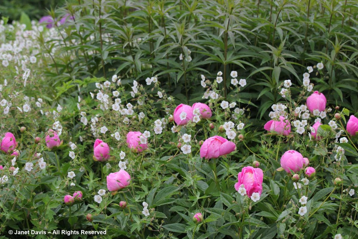
I also loved the way he interplanted Paeonia ‘Bowl of Beauty‘ just coming into flower with the white-flowered mourning widow.

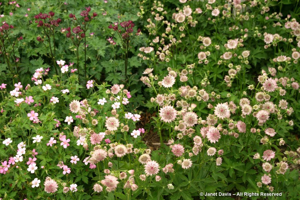
This delicate, monochromatic combination, also in the Oudolf–designed entry border at the TBG features Geranium x oxonianum ‘Rose Claire’ with Astrantia ‘Roma’.

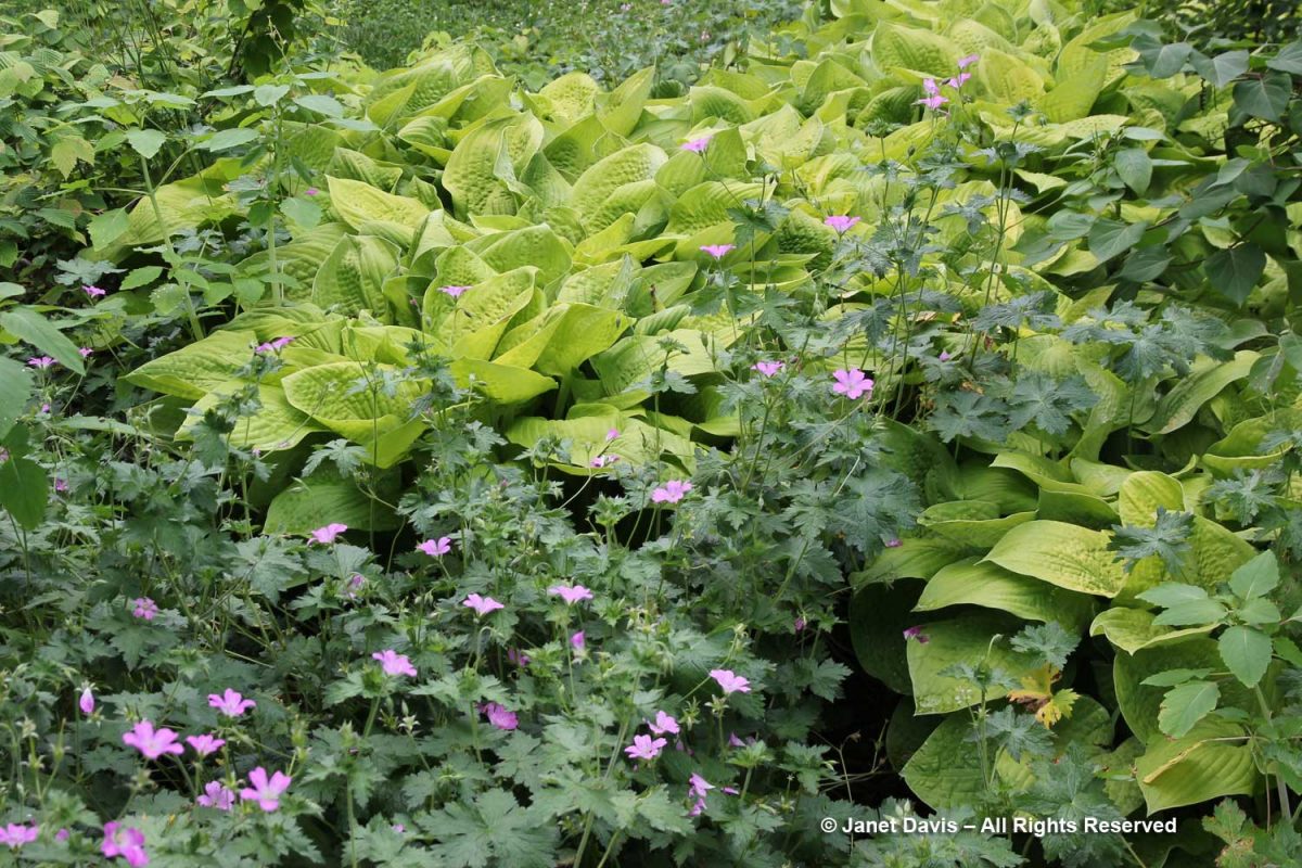
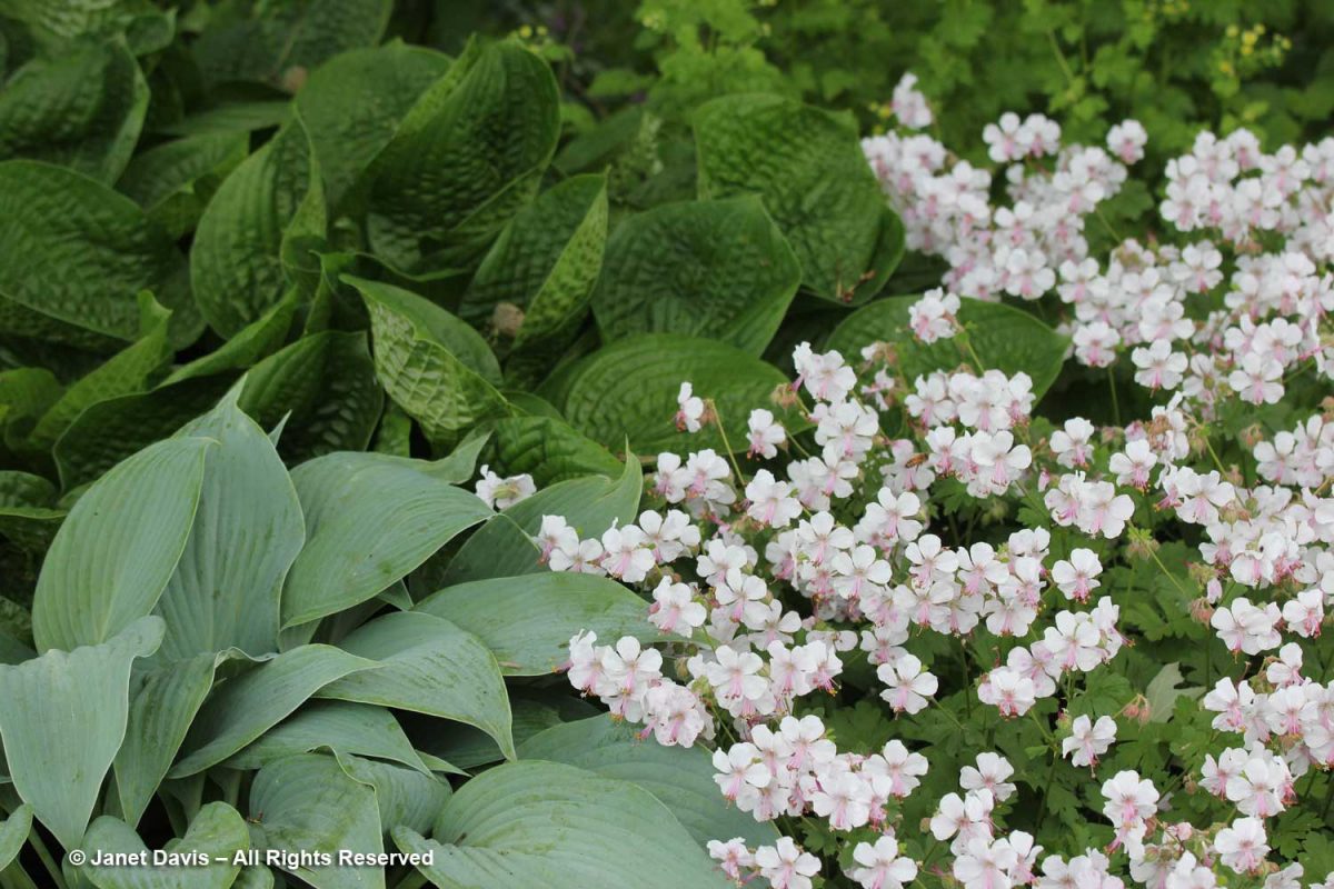
Hostas and cranesbills always look good together, as demonstrated by Geranium x cantabrigiense ‘Biokovo’, below.

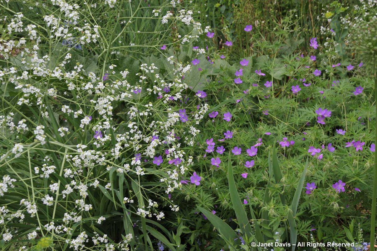
Geranium clarkei ‘Kashmir Purple’ makes an interesting contrast to the tiny white flowers of flowring sea kale (Crambe cordifolia).

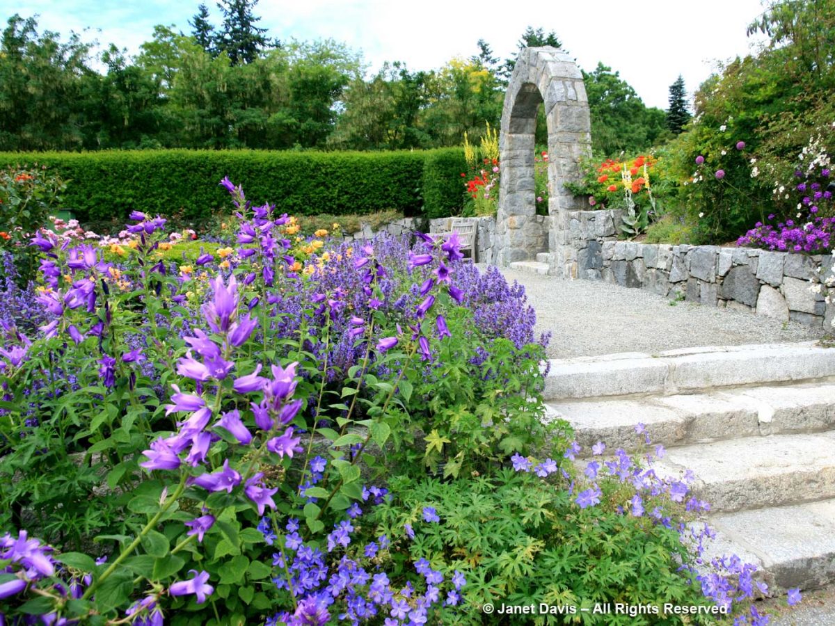
Geranium ‘Johnson’s Blue’ is an old-fashioned hybrid, a cross between G. himalayense and G. pratense. Doesn’t it look spectacular with the purple bellflowers (Campanula latifolia var. macrantha) and meadow sage (Salvia nemorosa) flanking the rose garden at Vancouver’s VanDusen Botanical Garden below?

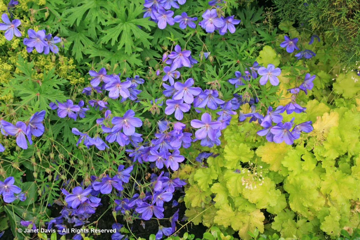
Purple always works with chartreuse, and G. Johnson’s Blue’ is the perfect companion to Heuchera ‘Lime Rickey’.

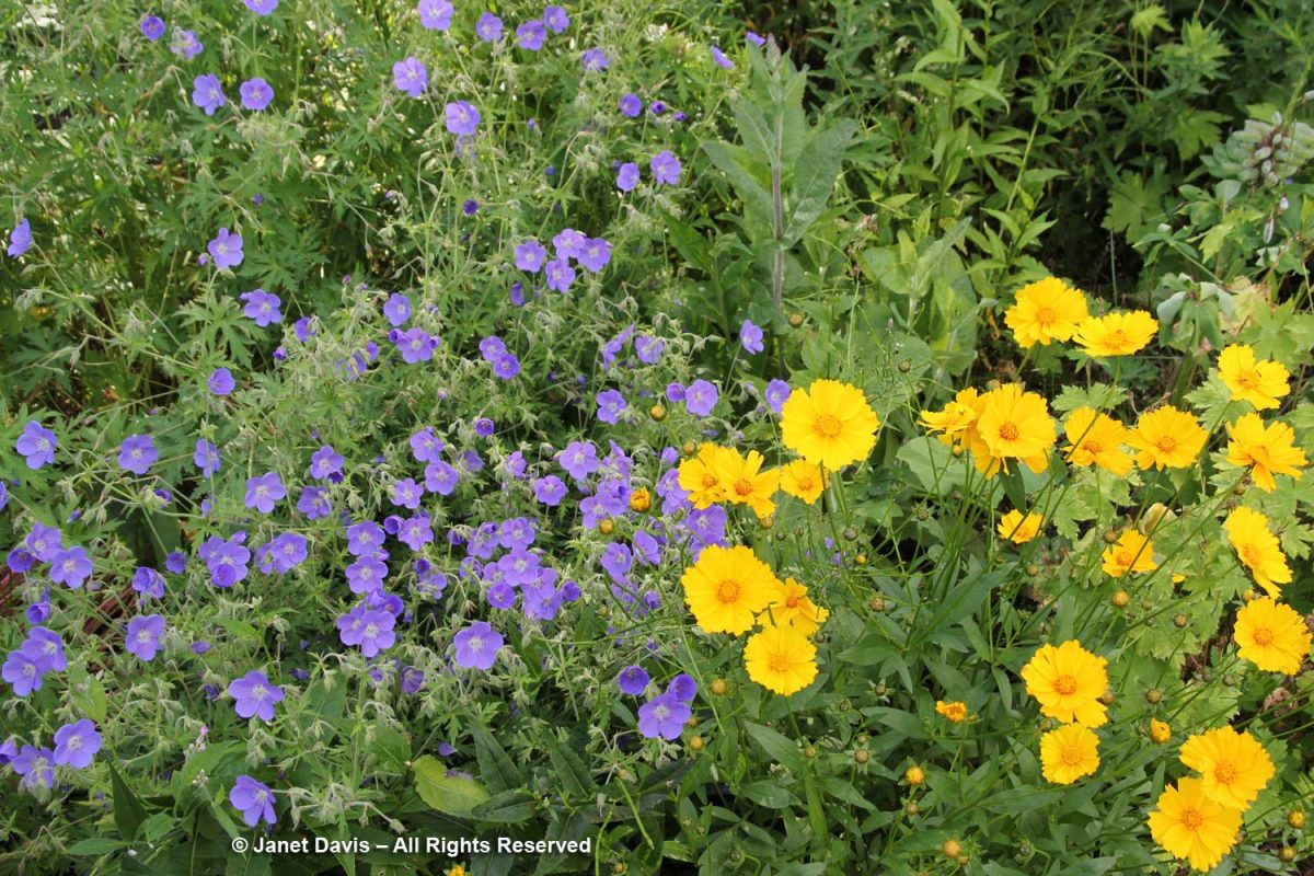
Toronto’s Spadina House is my favourite cottage garden in the world, with a mass of artful flowers tumbling around expansive vegetable gardens. Meadow cranesbill (Geranium pratense) is much-used in the garden, as with lanceleaf coreposis (C. lanceolata), below….

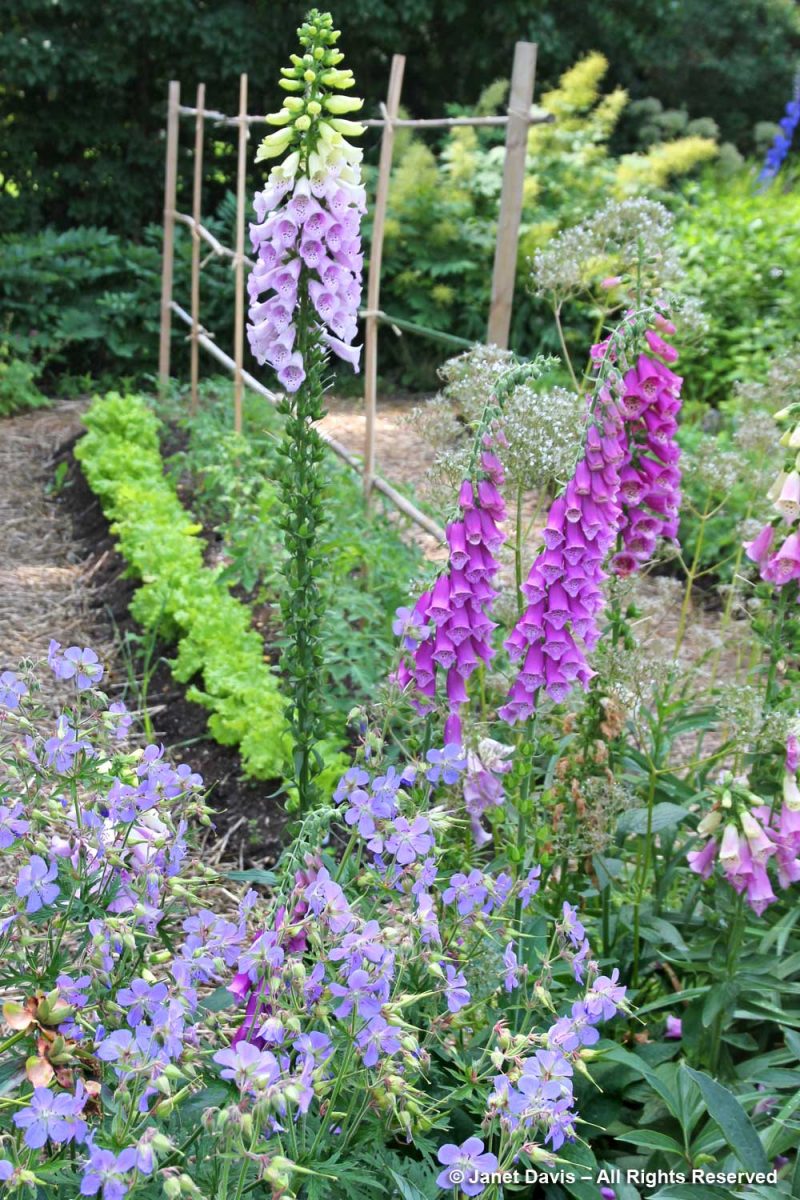
….. and foxgloves (Digitalis purpurea)….

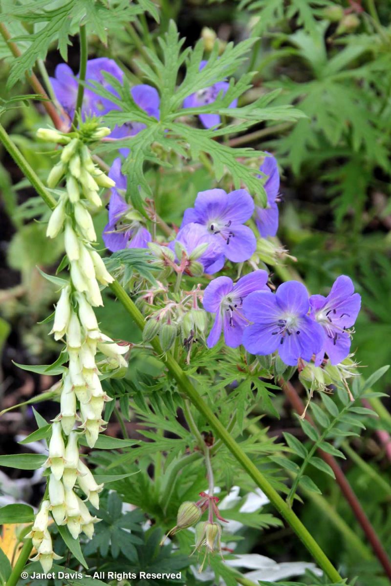
….. and small yellow foxglove (D. lutea).

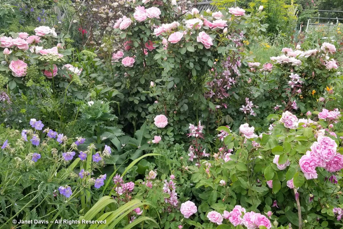
I also found it growing in the fabulous Denver garden of plantsman Panayoti Kelaidis and his partner Jan Fahs. This romantic planting of roses, gas plant (Dictamnus albus var. purpureus) and G. pratense is actually Jan’s domain! (And, of course, I wrote a blog about PK and Jan’s garden.)

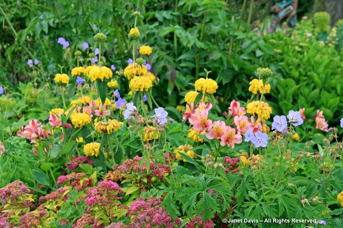
When I was having dinner at the spectacular Deep Cove Chalet restaurant in Victoria, B.C. one spring, I was enchanted by this unusual and richly-coloured combination:  G. pratense with peach alstroemeria, yellow Phlomis russeliana and pink spirea.

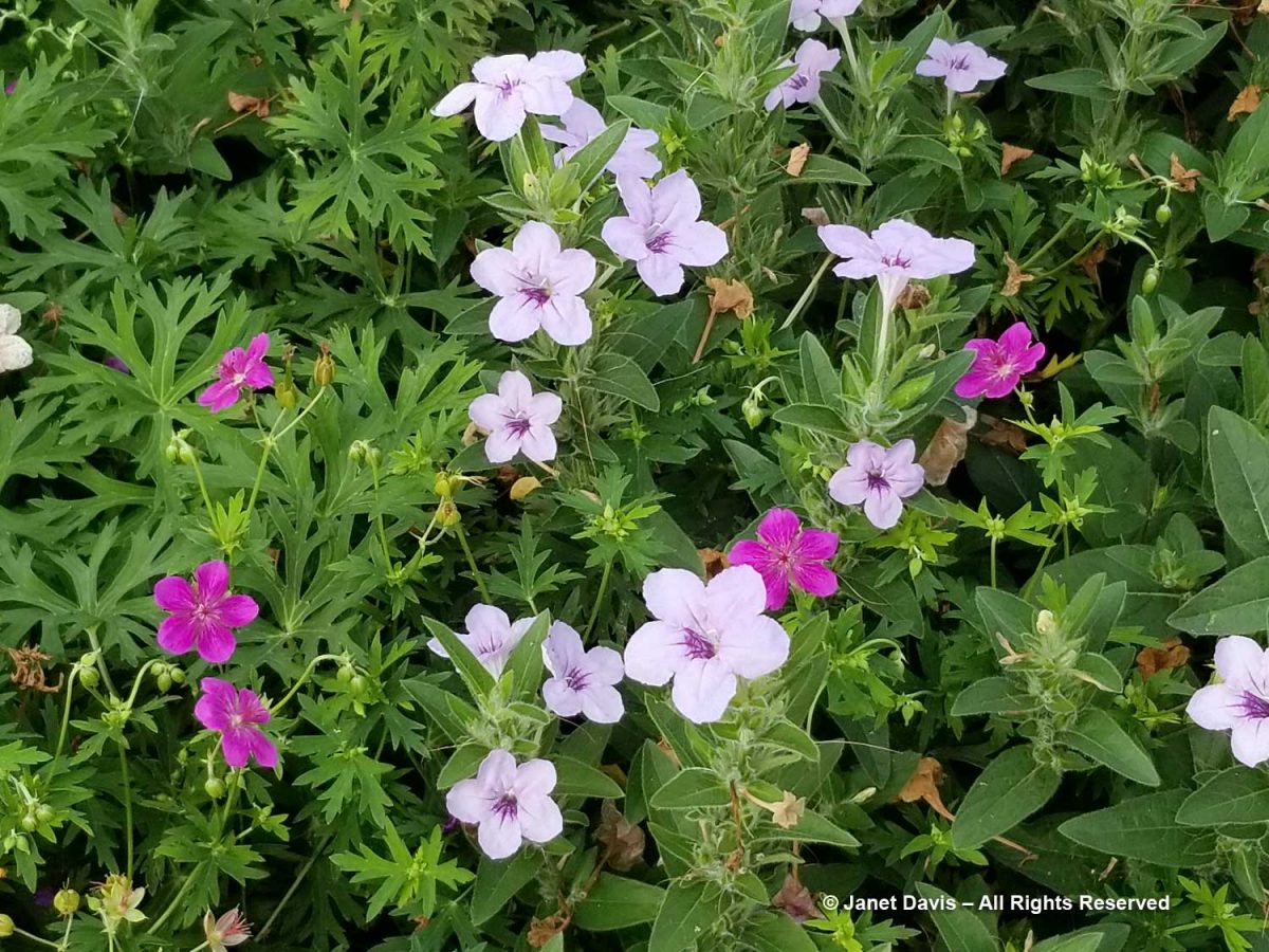
Though most cranesbills flower from late spring into early-mid-summer, there are a few species that hit their stride in late summer and continue blooming well into fall. I saw one of them one August at the Piet Oudolf-designed Lurie Garden in Chicago (another fantastic garden from my blog). For my final homage to the versatile cranesbills, meet pink-flowered Japanese cranesbill (G. soboliferum) with lilac prairie petunia (Ruellia humilis).