Having sailed all night after our first day in Iqaluit down the 230-kilometre (140-mile) long Frobisher Bay, we were now cruising for a full day and night in the Arctic Ocean on the south east side of Baffin Island. The largest island in Canada and the fifth largest in the world, it ranks in size behind 1) Greenland, 2) New Guinea, 3) Borneo and 4) Madagascar. Its coastline is made up of many bays, inlets and sounds. Both Baffin Island and Frobisher Bay were named for English explorers; Martin Frobisher landed on what is now Baffin Island in 1576, while William Baffin made two expeditions to the waters off Greenland in 1612 and 1615. (And as a gardener I know that the ultra-hardy, Explorer roses bred by Felicitas Sjveda at the University of Ottawa also include ‘William Baffin’ and ‘Martin Frobisher’). The waters were quiet, the air so clear, and it was our chance to walk the decks to see if we could spot animals on the sea ice.
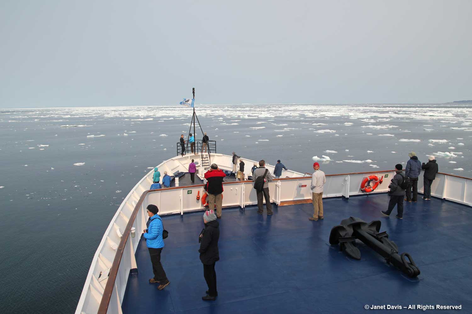
Then we heard the announcement… “Ladies and gentlemen: starboard, 2 o’clock, polar bear.” Someone pointed excitedly and the binoculars were all trained on a distant patch of sea ice.
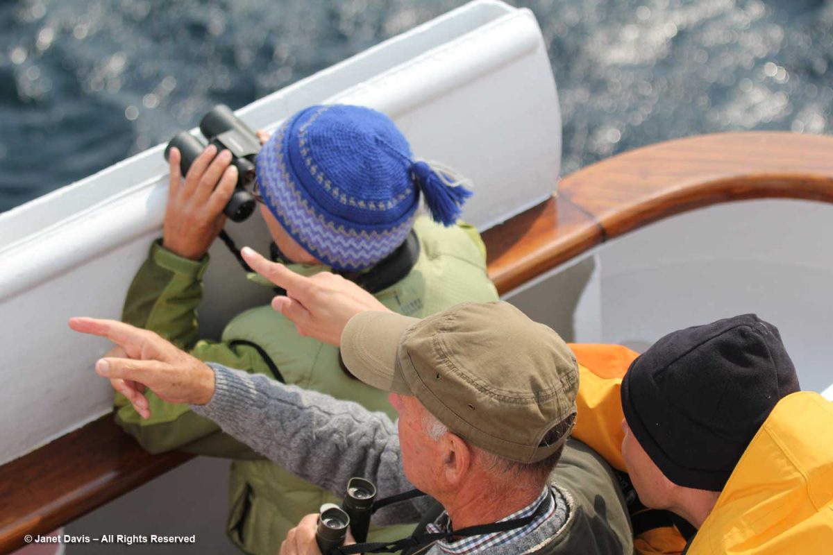
The captain angled the ship gently and slowed the engines, barely creeping forward, then stopped. We gazed raptly, listening to the ship’s naturalists tell us how lucky we are to see this sight just one day into our journey; some expeditions never see a polar bear.
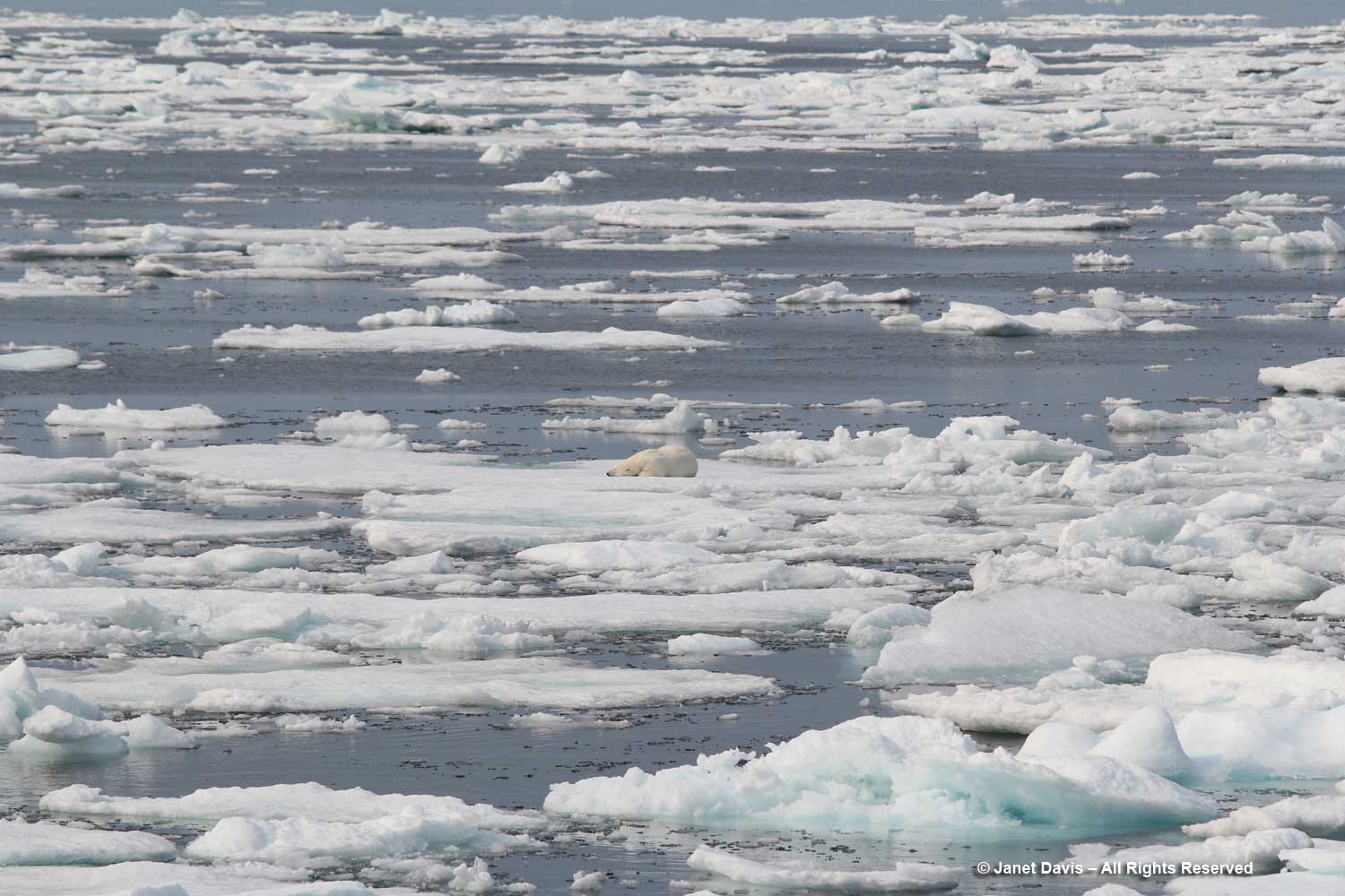
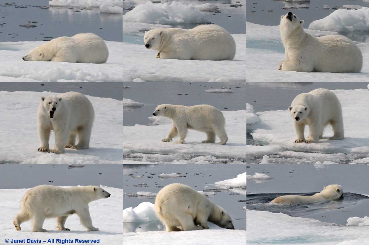
Out came my telephoto lens and I began clicking, watching as the female bear awakens, yawns, sniffs the air, rises, gazes at us, then walks around a little before slipping off the ice and swimming away. We were jubilant!
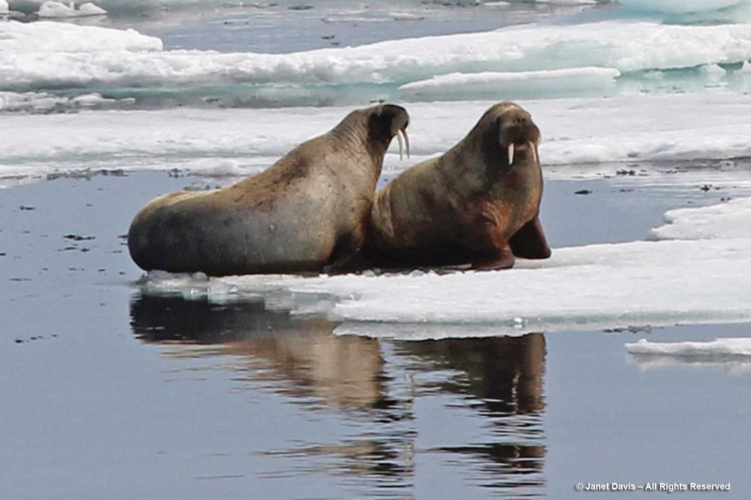
Not much later, there was another announcement. Walruses this time! Another rush to the side of the ship with binoculars; again, the captain slowed so we could observe….
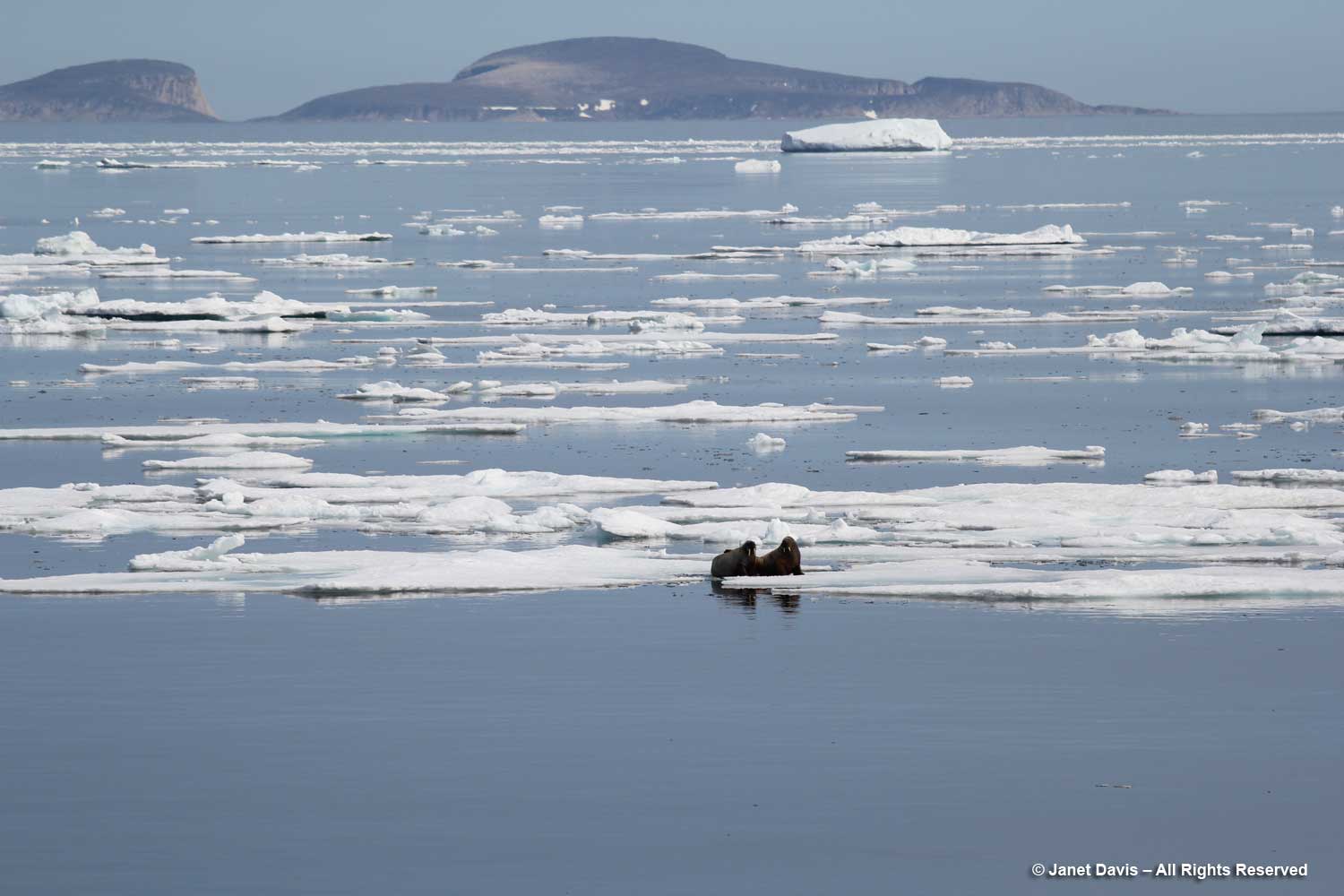
…. a pair of walruses resting on sea ice. According to the World Wildlife Fund, walruses (like polar bears) are threatened by climate change, which reduces the amount of sea ice they use for feeding and resting. Their long tusks are employed for keeping holes in the ice open and pulling themselves out of the water; they can dive up to 30 metres (100 feet) to feed on molluscs, but generally feed in shallower waters.
Sea ice is a major consideration for the captain of any expedition, and ours was no exception. Our trip’s original itinerary had been modified from a much more northerly route out of Resolute Bay to its new starting point in Iqaluit because of a large influx of sea ice through the Northwest Passage caused by a cyclone in the western Arctic.
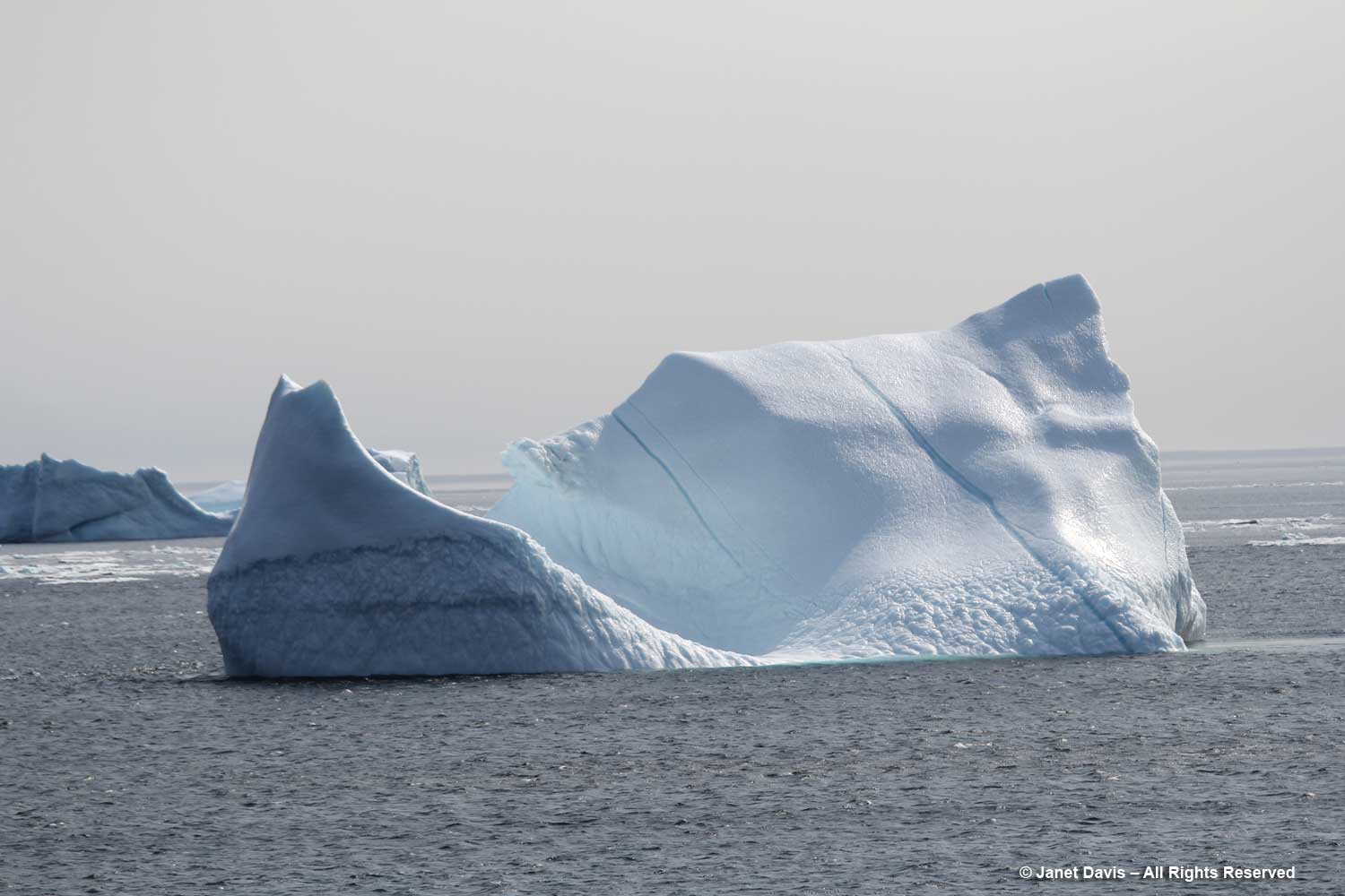
We would learn much about “ice” on this trip. Sea ice is frozen ocean water that rises, owing to the lower density of ice compared to water. Its thickness and coverage varies each year based on both winter and summer temperatures. About 12% of the earth’s oceans are covered with sea ice, translating to about 7% of the earth surface, most of it occurring in the Arctic and Antarctic. Sea ice that is attached or fastened to shorelines or the ocean floor is called “fast ice”; if it moves around in currents or wind, as below, it’s called “drift ice”. Every summer, warm temperatures cause some sea ice to melt, but never completely. Sea ice greatly affects global warming because the sun’s radiation is reflected back to space from white sea ice (this is called a “high albedo”), unlike dark sea water, which absorbs the sun’s rays and warms the ocean, thus causing more sea ice to melt. The albedo effect of melting sea ice and glaciers in the Arctic and Antarctic is one of the positive feedback mechanisms between earth and its atmosphere (“positive”, in this case, being a negative as it increases global warming). Unlike melting glaciers, melting sea ice does not cause sea levels to rise.
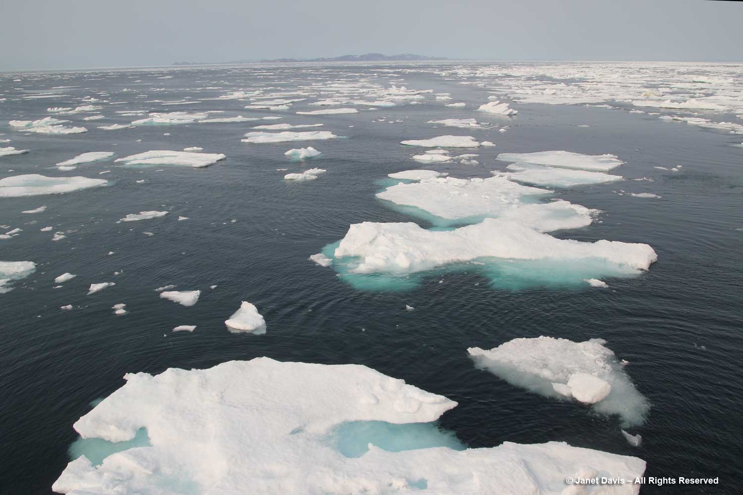
Sea ice is relatively flat, unlike icebergs. The National Snow & Ice Data Center keeps track of the percentage of sea ice in the Arctic. Sea ice has various classifications, depending on its age: frazil, slush and grease define sea ice as it forms; nilas is ice up to 10 cm (4 inches) thick; young ice is not yet a year old; then there’s first year ice, second year ice and multi-year ice. As mentioned above, Arctic animals such as the polar bear, walrus, harp seal and caribou depend on sufficient levels of sea ice for hunting.
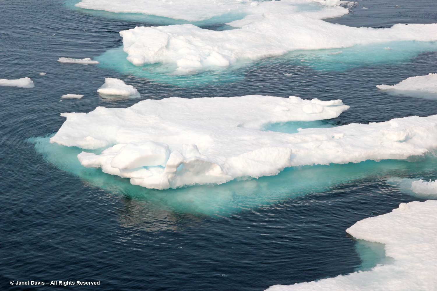
Icebergs are chunks of glaciers that have calved off and floated away on ocean currents. They are composed of frozen fresh water that might be thousands of years old. Glacial melt does cause ocean levels to rise.
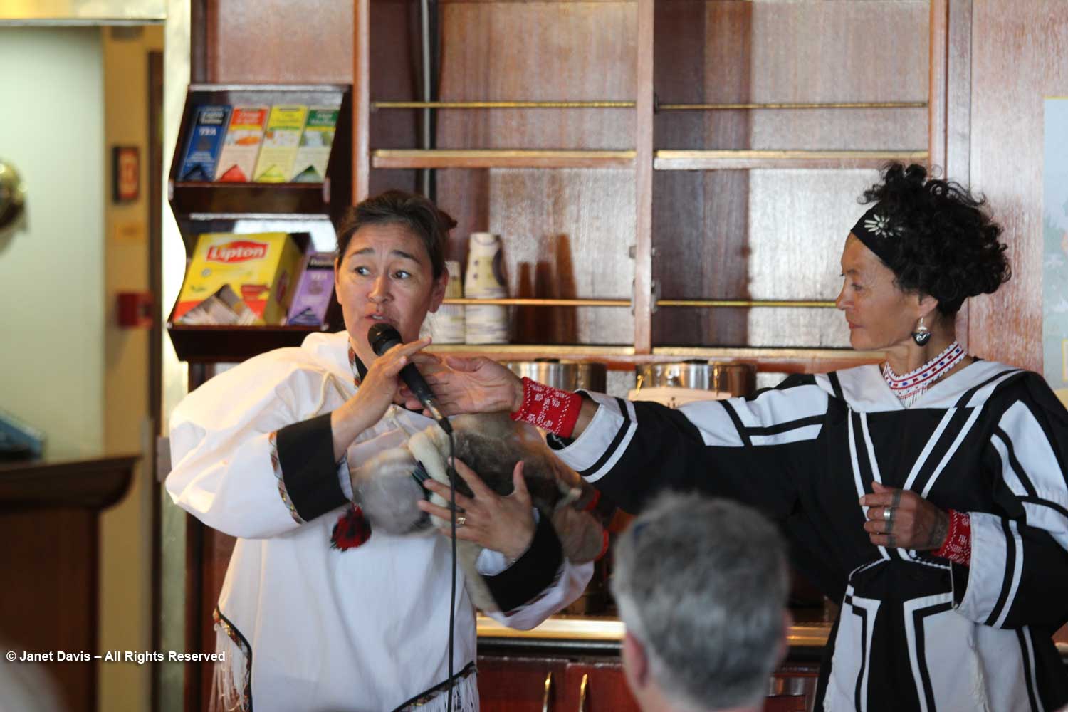
During the day onboard an Adventure Canada expedition, there are various lectures and presentations representing natural history or local culture. On this first full day, we were introduced to two Inuit cultural representatives, Bernadette Dean, left, and Aaju Peter, right. Bernadette was demonstrating one way to use the traditional amautik (an integral part of an Inuit mother’s parka) for a newborn.
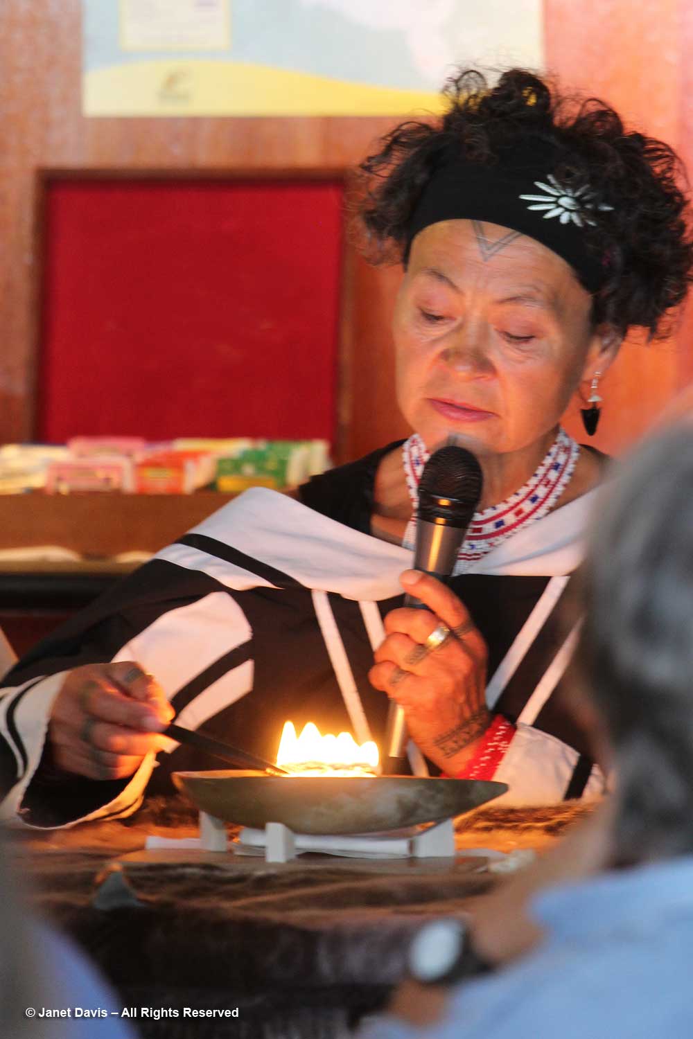
Aaju showed us how the kulliq, the traditional Inuit seal-oil lamp, is lit using dried moss and seal oil. Both these traditions are thousands of years old.
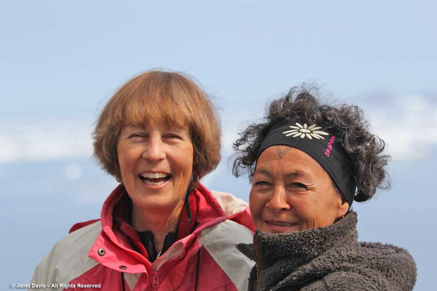
Later I caught Aaju chatting with my good friend Anne Fisher, who was the travel coordinator for the Royal Ontario Museum on this voyage. Aaju is a lawyer and a recipient of the Order of Canada, especially for her longstanding and public advocacy for the Inuit sealing industry. She even confronted the EU in 2009, where “she cut a striking figure at the European Union parliament in Strasbourg, France, where she had gone to speak as the EU prepared to vote on whether to ban the import of seal hides into Europe. Dressed in a traditional amauti (parka), she angrily denounced the ban. ‘We are one of the world’s last traditional hunting cultures,” she told reporters, “and seals have been essential to our survival for thousands of years. Should 600 people in [Europe] be allowed to define the terms of our existence?’ ” I will write more about Aaju and traditional sealing later in this blog series.
Then the ship put down anchor in Butterfly Bay off the southeast part of Baffin Island…..
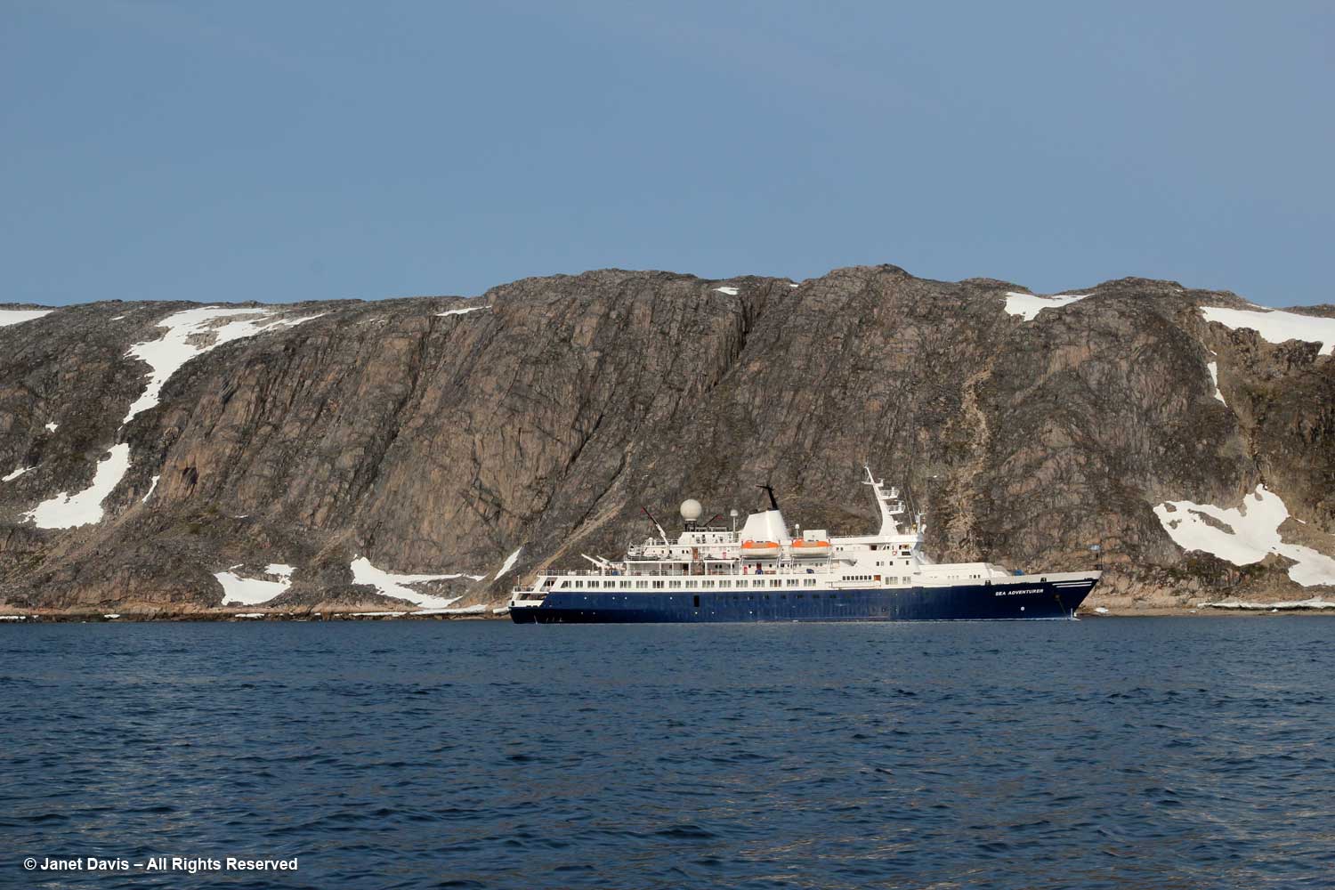
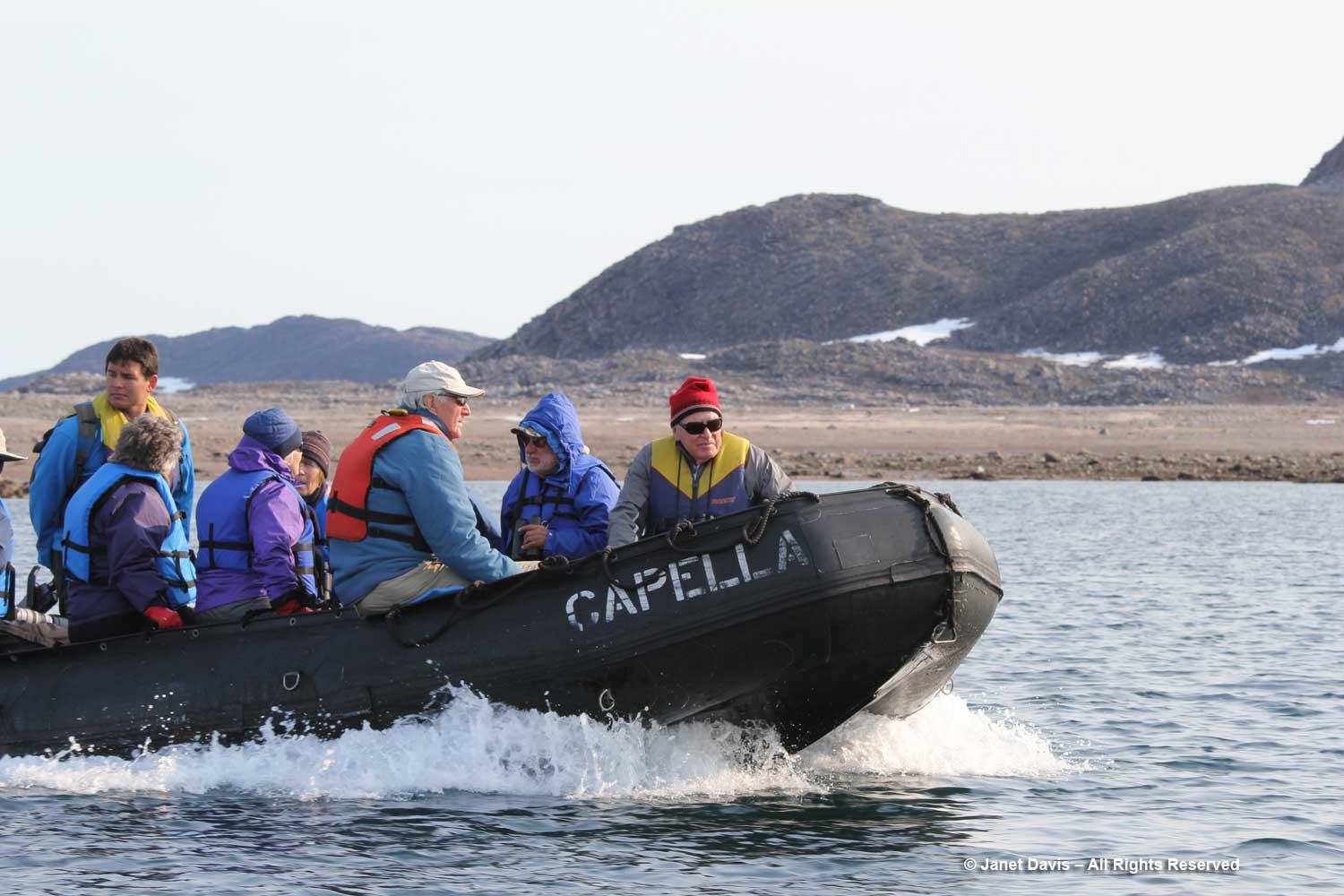
….. and it was into our life vests and off in the zodiacs to get a closer look at the topography.
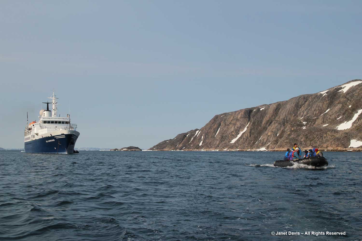
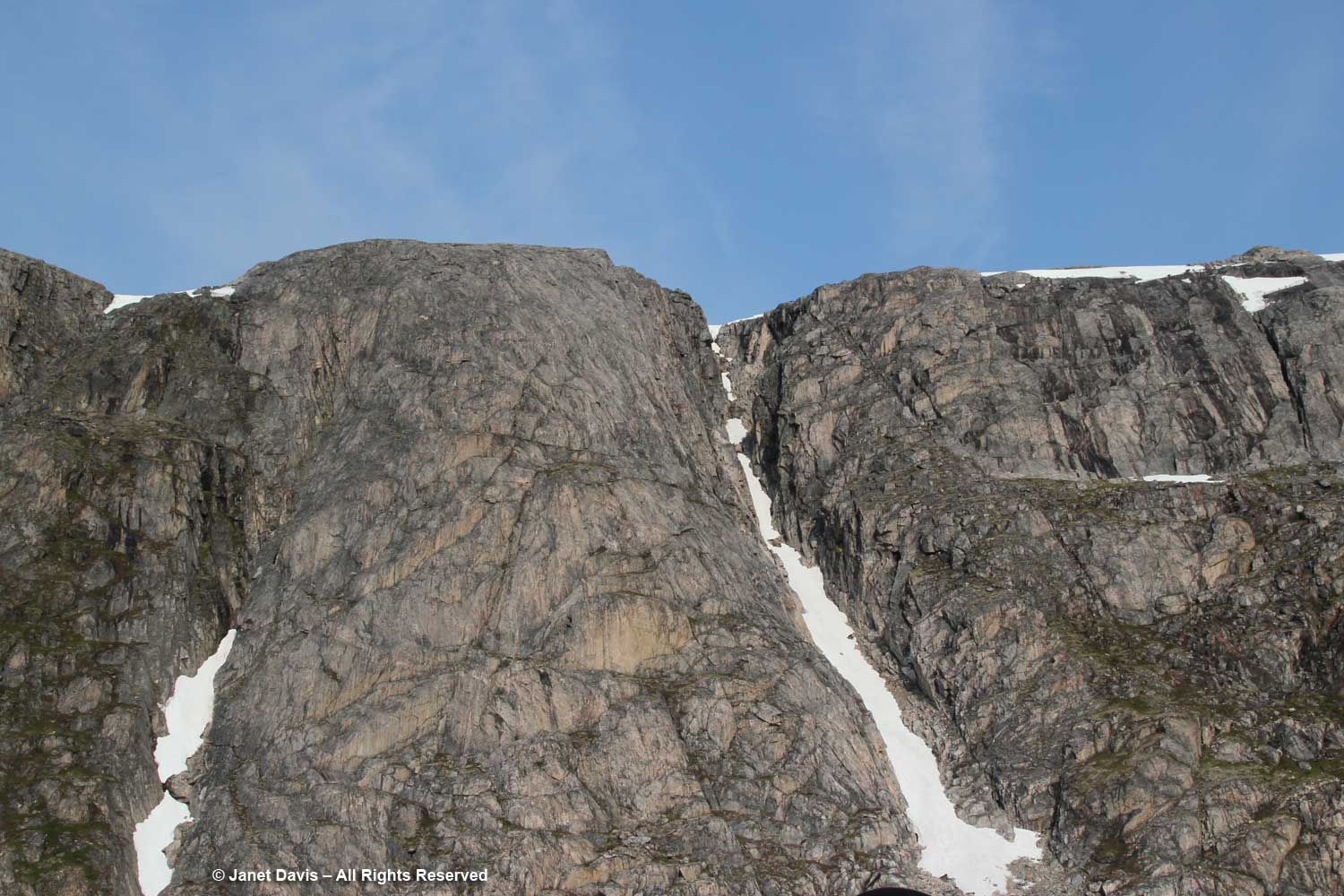
My only regret on the trip was that there was no geologist to pester. After doing some research on this part of Baffin Island conveniently written by one of Adventure Canada’s occasional resource people, Professor Marc St-Onge titled Geological Synthesis of Baffin Island Bulletin 608-Advance Copy-2020, I think I’m safe in saying the big outcrop behind the ship is gneissic rock (specifically Foxe/Meta Incognita/Hall Peninsula gneissic basement) anywhere from 1.96-2.8 billion years old. This is Precambrian rock, or what geologists define as the Proterozoic Eon, literally “before animal life”, an era that stretched from 2.5 billion years ago (2.5 Ga, i.e. “giga-annum”) to 541 million years ago. (See Marc St-Onge, below). Beyond that in (Precambrian) deep time was the Archean Eon (2.5-4 Ga), to which some of the rocks in this part of Baffin Island have been dated. “Basement rock” refers to the thick foundation of the continent, in this case “orthogneiss”, a metamorphic rock derived from granite and formed in a tectonic mountain-building period. As my geologist friend Andy Fyon says, rocks like these were “caught up in the collision of two continents, where thick slabs of the rock from one continent was stacked on top of the other continent. The heat and stress on the rocks at the bottom of the stack(s) would have been enormous; hence, the cooking, squeezing, and bending of the plasticine rock.”
Subsequent to publishing this blog, I received a lovely email from Professor Marc St-Onge, referring to the rock above and below. He said, “Indeed that is a gneiss, which means a “layered rock”, probably derived from the mingling of two originally plutonic rocks. Lighter coloured rock of “tonalitic” composition, and darker coloured rock of “dioritic” composition. The location off eastern Hall Peninsula would suggest that the gneiss is possibly as old as 3.0 billion years and is part of what is known in the geological literature as the ‘Hall Peninsula tonalitic gneiss complex’. Old ‘Archean’ rocks then to core most of the current continents, with the oldest rock in the world being of course the Acasta Gneiss located 300 km NNW of Yellowknife and discovered by the GSC in 1983.”
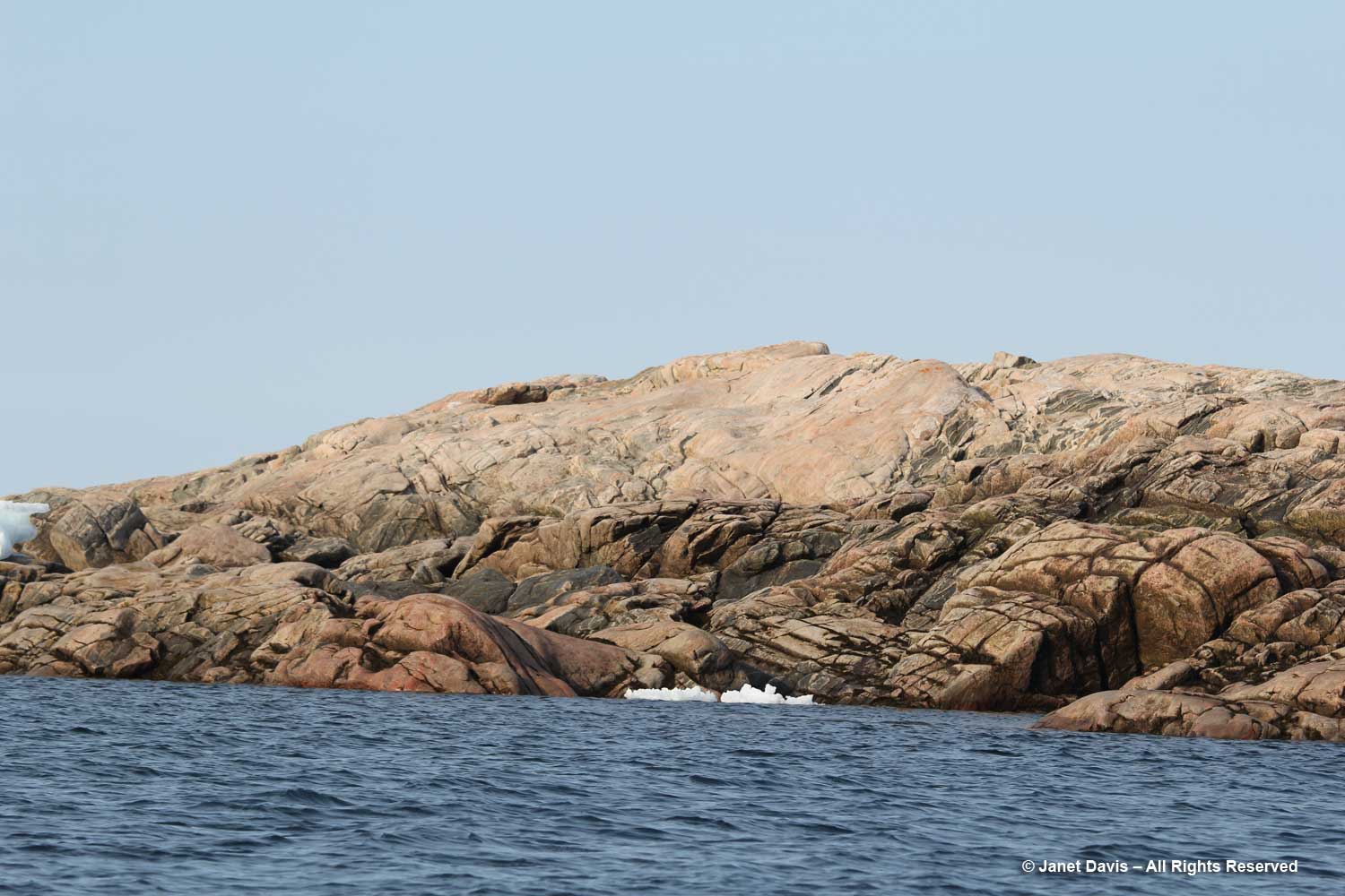
The nearby pinkish, domed outcrop, below, is an intrusive plutonic rock*, likely from the Cumberland batholith, approximately 1.85 billion years old, its surface grooved and scraped by ice, possibly from the Laurentide Ice Sheet that once covered much of eastern North America.
Professor St-Onge also weighed in on the rock below: “Indeed that does look like a good plutonic rock. From the photo I would venture to suggest that it is granitic in composition, probably ‘monzogranitic’, derived from melting of the lower continental crust and emplaced probably at a depth of 15 km or so in the middle continental crust. What is also of interest are the large blocks (we would say ‘enclaves’ in geology) of darker rock, best seen right of centre, probably ‘dioritic’ in composition, which represent pieces rifted off or broken off the lower crust as the pluton was rising to its final depth of emplacement as a crystal mush and eventual solidification. The location (not the photo) tells me that this plutonic rock is ‘Archean’ in age (aka older than 2.5 billion year old) and likely 2.7 billion years old from units dated in that area of SE Baffin Island.”
It was a short excursion in the zodiacs, all named for stars, with Capella being the sixth-brightest star in the night sky. Now it was time to head back to the ship for dinner. Next up: the tiny hamlet of Pangnirtung

Exciting to see the wildlife! Love the spirit shown by Aaju. Thank you for the acknowledgement. Appreciated, but not essential. Cheers, Andy
Thank you, Andy, as always,for helping me to understand the wonders of geology.
Thank you, Janet – for showing me of a world that is more exotic to me than the rainforests of southeast Asia.
“Polar” opposites, in temperature and humidity, if not magnetically! 🙂
Dear Janet,
Congratulations for a well written and illustrated blog: a pleasure to read. And thank you for acknowledging my small contribution.
I hope we get to travel together in the future.
Amicalement……………. Marc
Thank you Marc! I’m delighted that I was able to learn so much about Arctic geology from you and Mary Sanborn-Barrie. And I’m thrilled to know that the rocks we saw there in Nunavut are at least twice as old as the banded gneiss (1.4 Ga) I’m currently sitting on near Lake Muskoka.