Cruising the Eastern Arctic – Ilulissat

I have been on safari in Africa; I’ve crossed the Andes and walked the streets of Paris, London, Rome, Athens, Tokyo, Hong Kong, Bangkok and Buenos Aires. But August 2nd was one of the most memorable and magical travel days in my life. It was a glorious morning as we awakened in Disko Bay off the central coast of West Greenland and gazed out at the massive icebergs littering the calm ocean surface. Disko Bay or Qeqertarsuup tunua in Greenlandic, is considered a southeastern inlet of Baffin Bay.
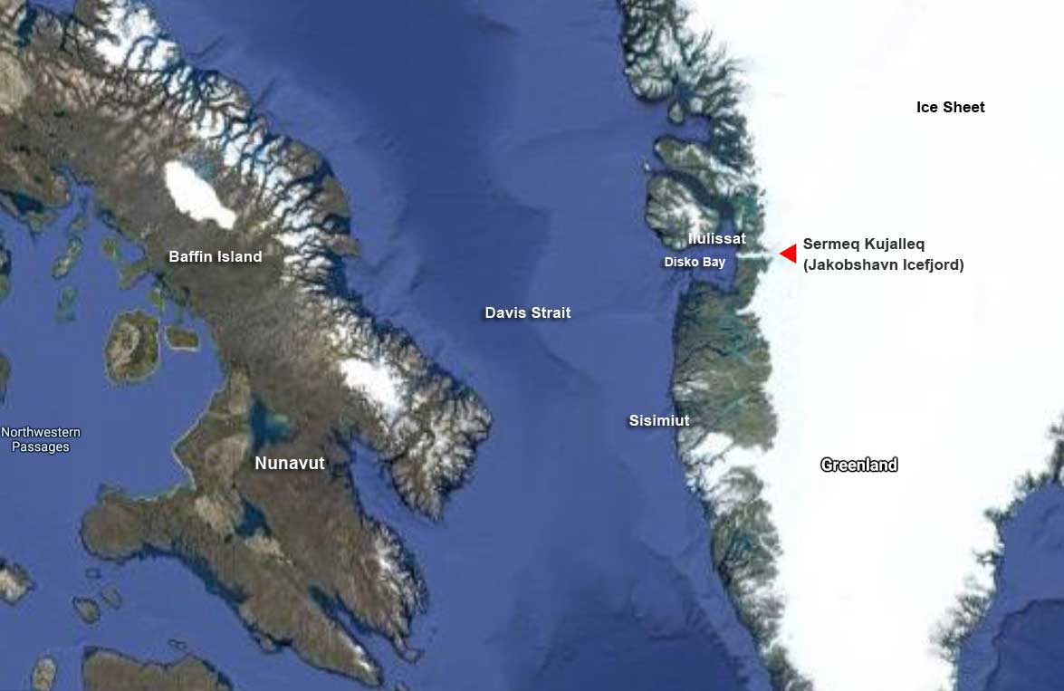
Overnight, we had sailed north from Sisimiut (which was the subject of my last blog) and navigated around Disko Island into this bay or “bugt”, as it’s called in Danish.  That massive white expanse covering most of Greenland (the largest island in the world) on the Google Earth photo map below is ice, some 1.71 million km² or 660,000 square miles. Greenland’s ice sheet (also known as Inland Ice) covers 79% of the country and is second only to the Antarctic ice sheet, which is ten times as big. Together, Greenland and Antarctica contain almost three-quarters of the world’s fresh water. At its thickest point, Greenland’s ice sheet is 3 km (1.79 mi) thick with a volume estimated at 2.85 million km3 (684,000 mi3).  Greenland has more than 100 glaciers (e.g. Kangerlussuaq, Helheim, Petermann, Hiawatha, Kong Oscar, Midgard) that flow out through its rocky margins each summer and send icebergs into the sea, but the Jakobshavn Icefjord or Isbrae (Danish) – Sermeq Kujalleq (Greenlandic) is the biggest, and the one we were here to see.
Fishboats were out in the bay, its waters rich in halibut, cod, Atlantic redfish, Arctic char and wolffish.
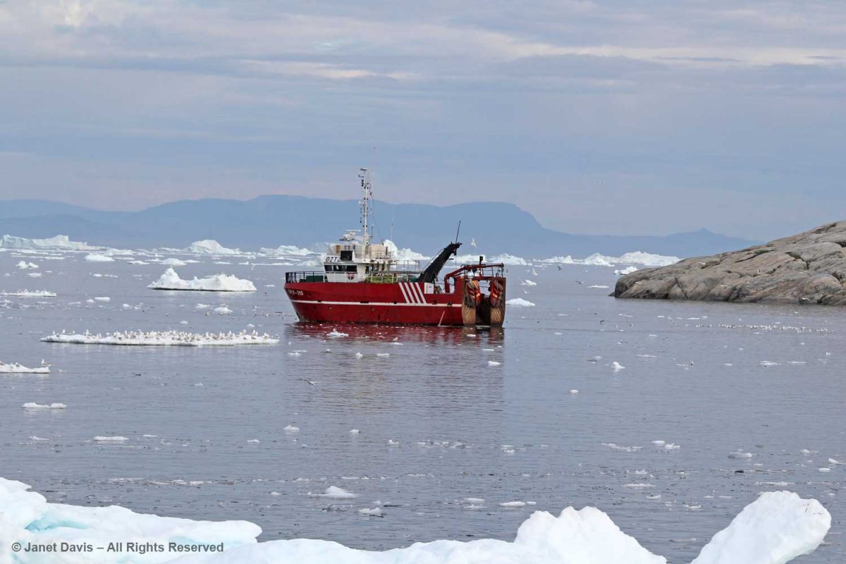
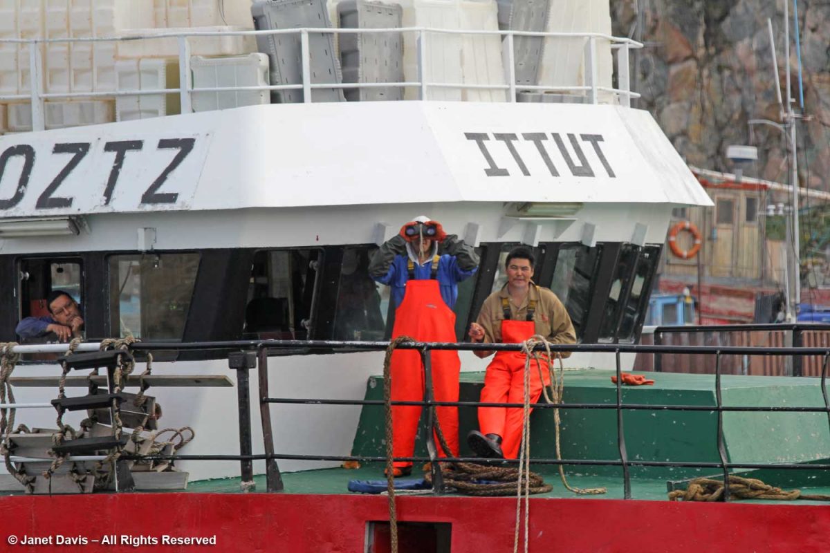
These guys just heading out were as curious about us as we were about them.
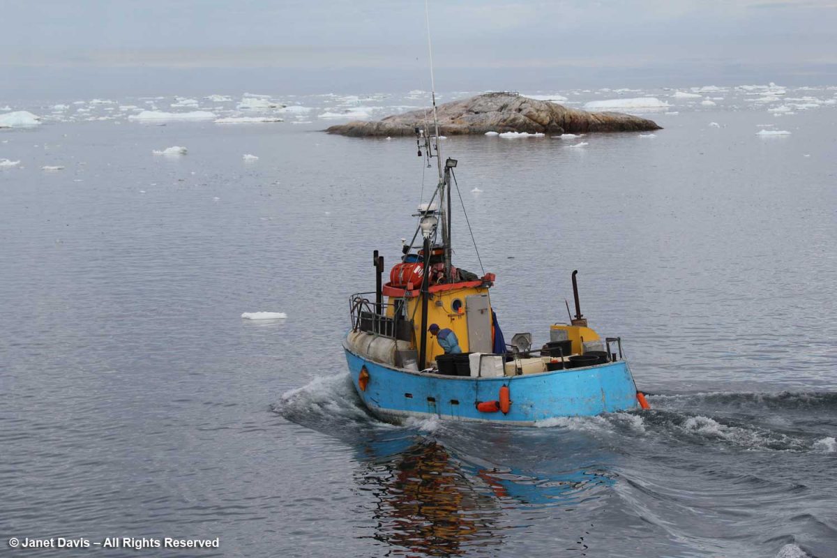
I loved the cheerful colours of this little fishing boat….
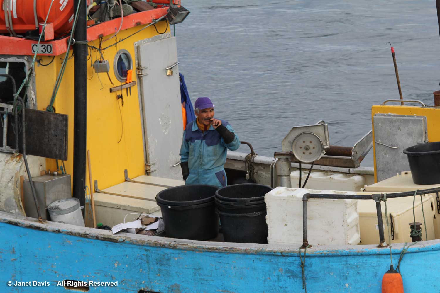
….. and the contented look of the fisherman about to head to work.
Turning towards shore, we saw the village of Ilulissat with its colourful houses arrayed up the rocky hillside under a massive mountain wall. (Greenland has myriad mountain ranges, many still unnamed). Established as a trading post by Danish merchant Jakob Severin in 1741, it was originally known as Jakobshavn. The third-largest city in Greenland after Nuuk and Sisimiut, Ilulissat has a population of 4,670 (2020).
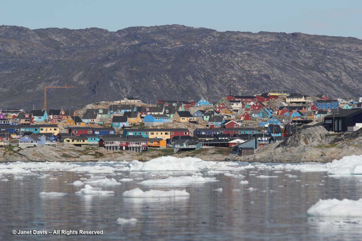
Kalaallisut is the Greenlandic language of West Greenland (East Greenland has its own) and the Kalaallisut word for “icebergs” is Ilulissat! So there was no question why we were here; indeed, this is the town closest to the Ilulissat Icefjord UNESCO World Heritage Site that we were about to visit.
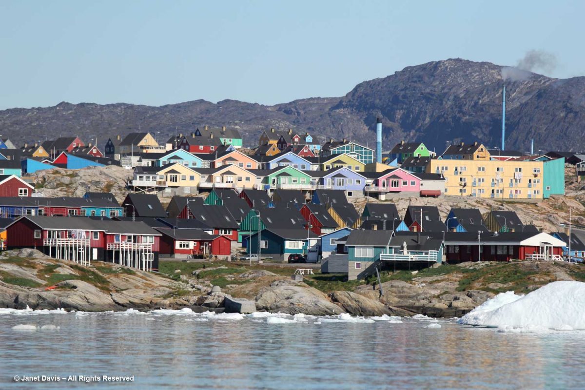
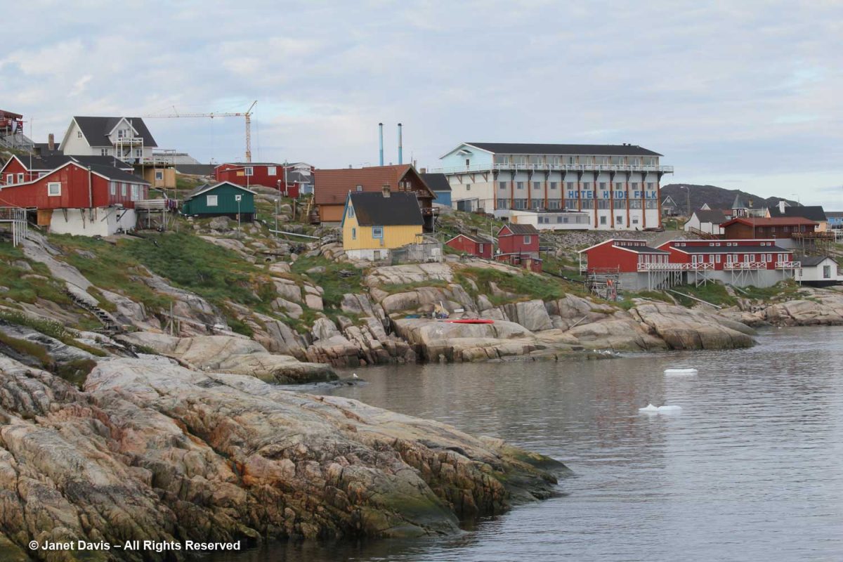
The hotel in the distance is one of three in town catering to tourists and scientists. In 2015, there were 22,000 international tourists and 15,000 local tourists, with the majority coming in July and August.
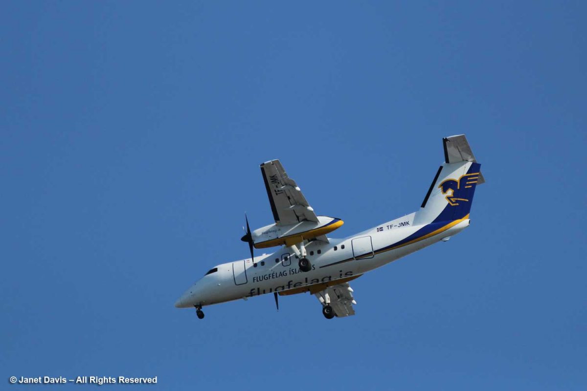
A plane passed overhead bringing passengers from Iceland as part of a seasonal schedule.
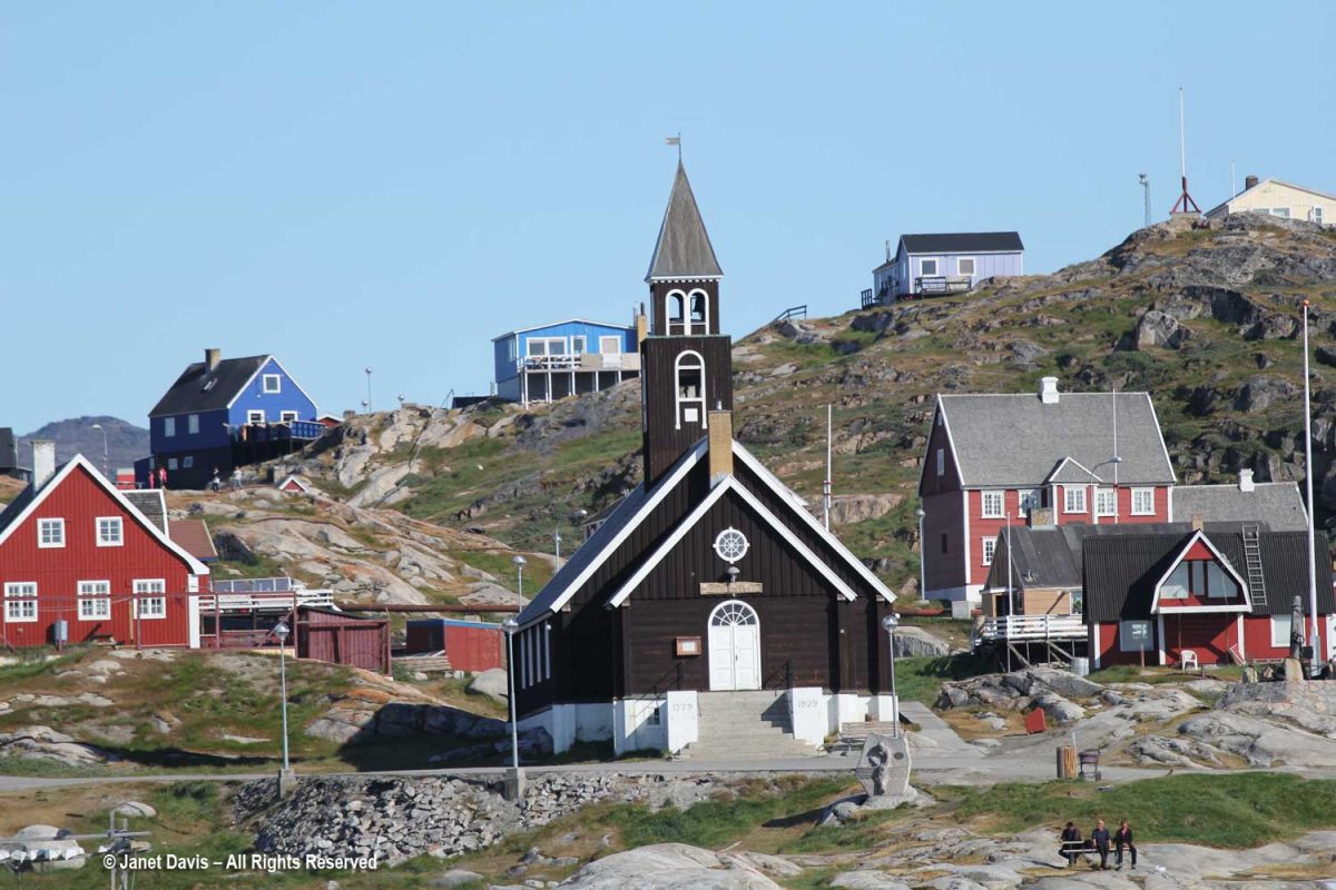
When Zion Church (Zion’s Kirke) was dedicated as a Lutheran church in 1779, it was the largest man-made building in Greenland. According to the Geological Survey of Denmark website, “During the Napoleonic Wars supplies from Denmark were limited, and the time from 1807 to 1814 in particular was a period of great hardship. In Jakobshavn, the hunters were forced to re-melt the lead from the roof and windows of the Zion Church in order to make rifle bullets.” It was moved to this location from lower ground in 1929, and services continue there today.
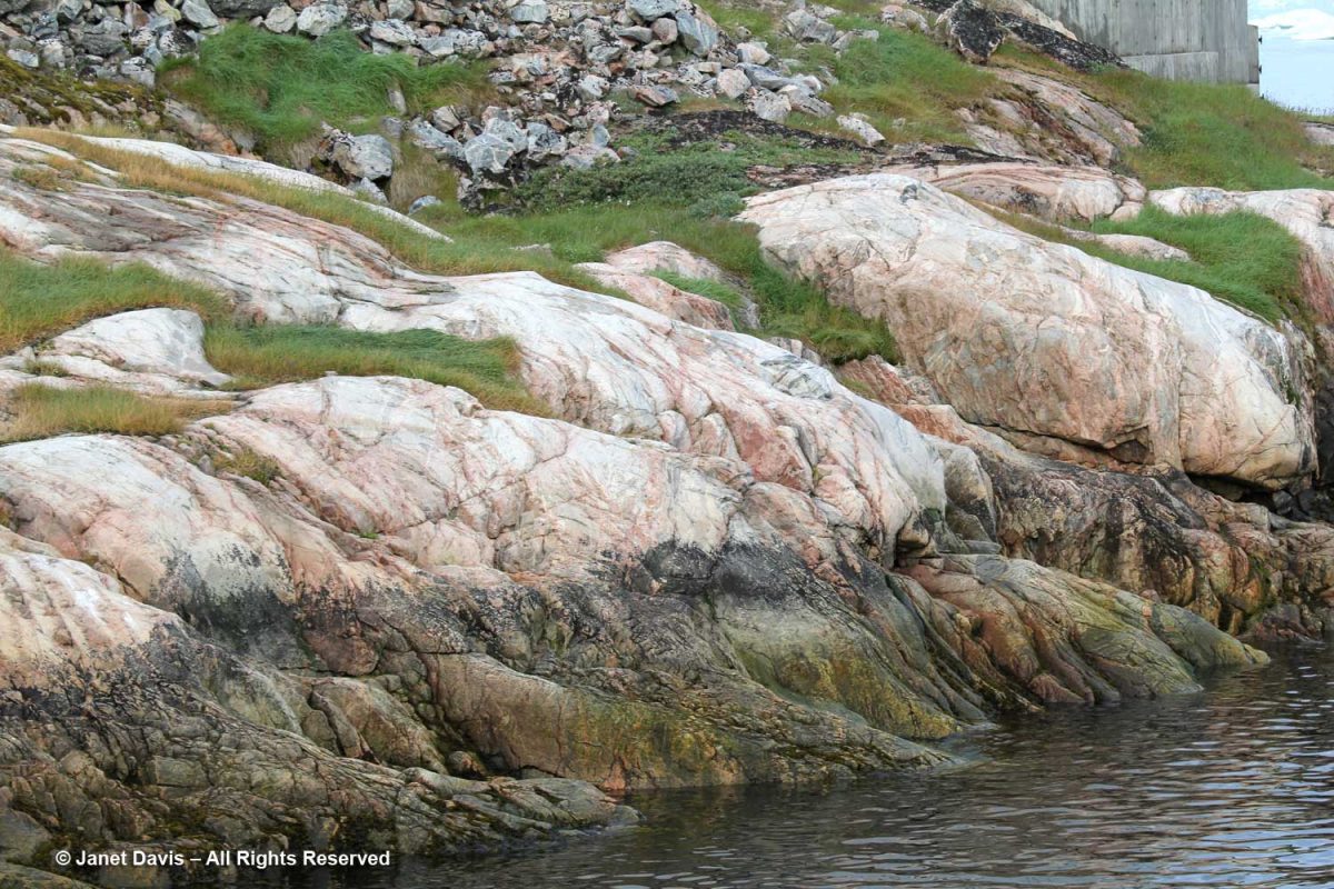
I admired these rocks at the shoreline, below. According to Canadian geologist, Dr. Marc St-Onge, Senior Emeritus Scientist at the Geological Survey of Canada, who has worked throughout the Arctic: “The bedrock geology of the Ilulissat region comprises dominantly 2.84–2.76 billion years old Archean orthogneiss (gneiss derived from a plutonic precursor), reworked and metamorphosed 1.88 billion years ago by the Nagssugtoqidian orogenic belt.”  In fact, Greenland has some of the oldest known Archean rocks on the planet, with a zircon crystal from the tonalitic gneiss protolith (the original rock before being metamorphosed) at Amîtsoq near Nuuk U/Pb-dated to 3.872 Ga (Giga annum or billion years ago). Incidentally, the Greenland rock is younger than the oldest-known exposed rock in the world, the Acasta Gneiss dated at 4.02 Ga and found in 1983 by Dr. St-Onge and his geologist wife Dr. Janet King 300 km north of Yellowknife, in Canada’s Northwest Territories. 
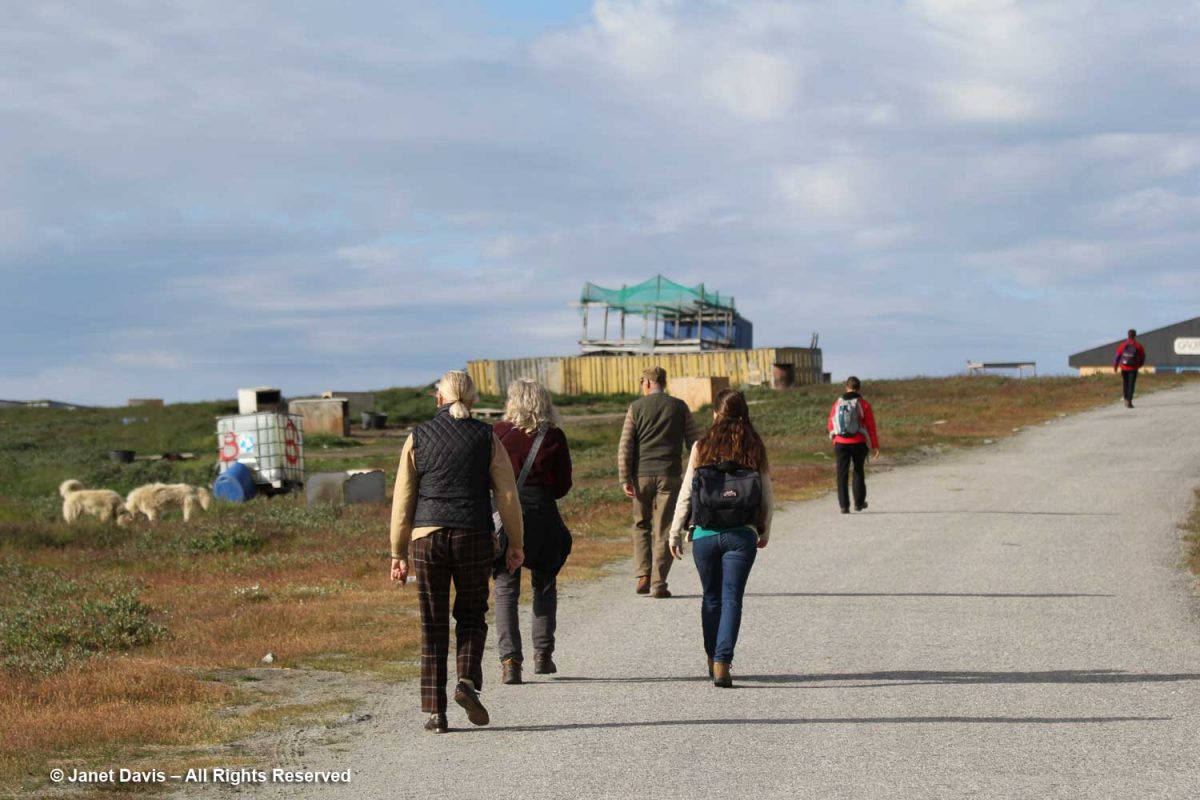
Once docked, we set off on foot to the outskirts of Ilulissat, passing the inevitable sled dogs on the way.
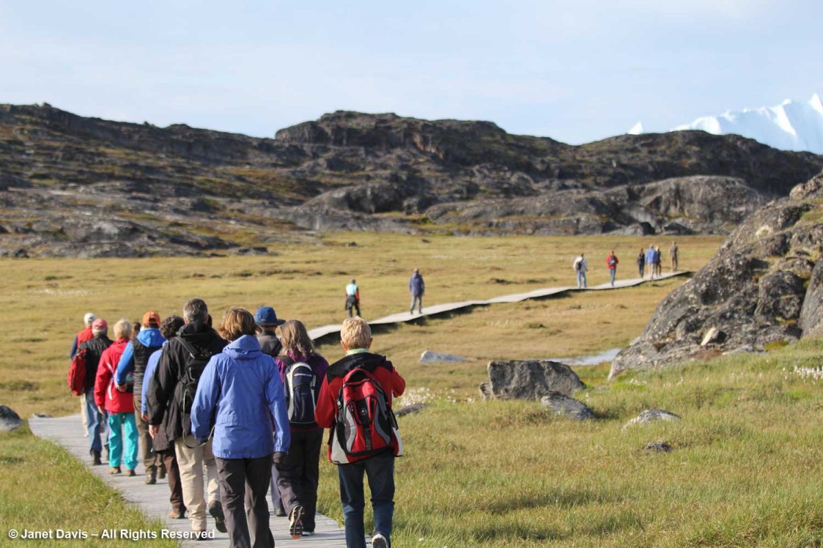
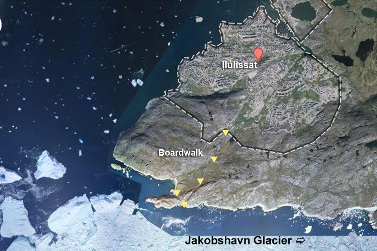
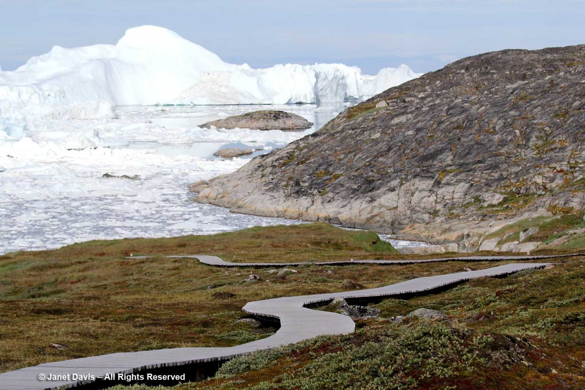
Before long, we arrived at the boardwalk leading to the edge of the icefjord.  The boardwalk passes through the Sermermiut Valley, which was once an Inuit settlement. At 1.4 k (.87 mile) in length, it is a pleasant, easy hike, but one with a spectacular terminus that showcases one of the planet’s most awe-inspiring phenomena.
I marked the Google Earth map below with yellow arrows to show the boardwalk and its relationship to town.
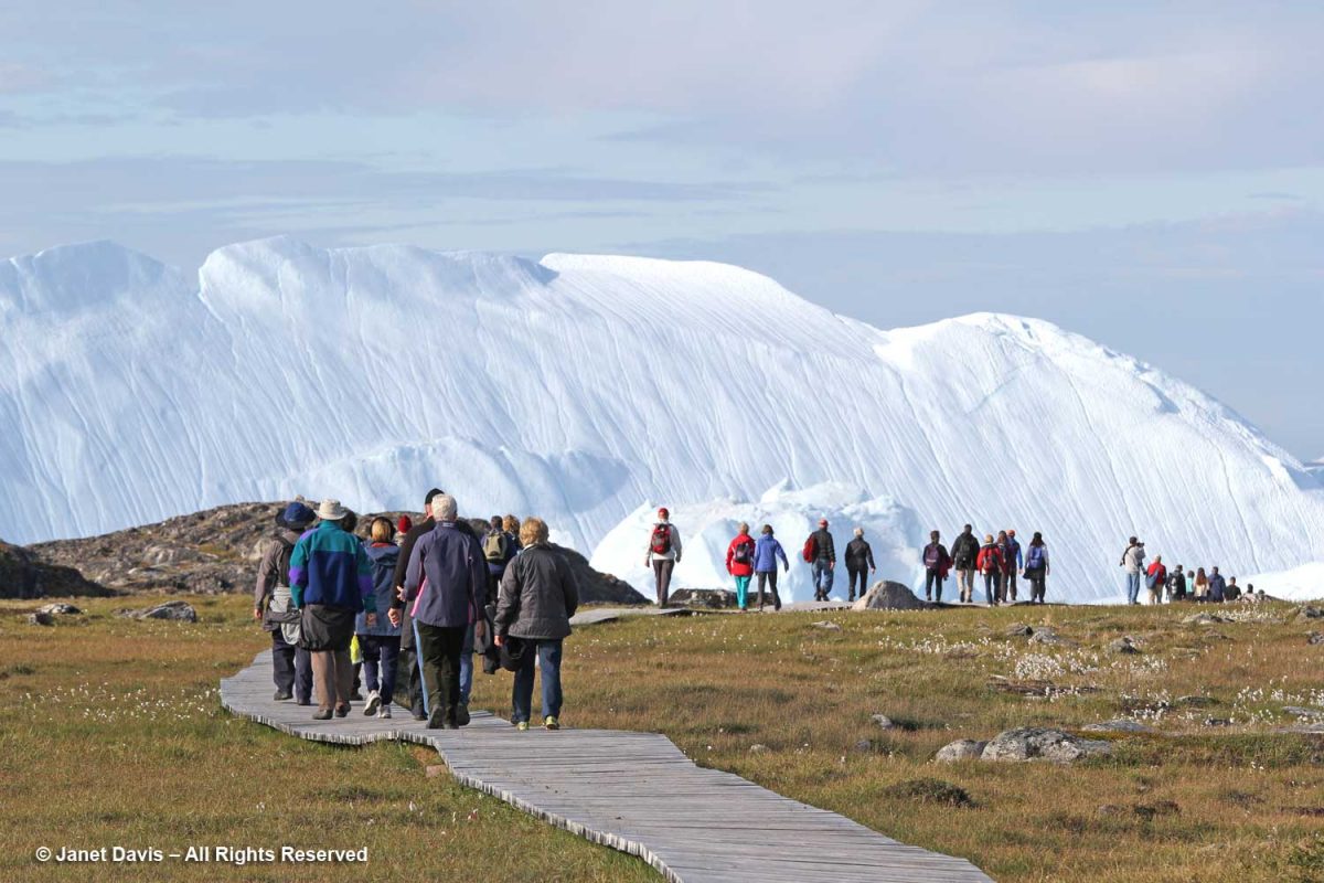
It is simply impossible to describe how thrilling it was to walk through this gentle meadow with its delicate little ecosystems of plants and ancient rock toward this massive parade of glacial ice slipping, sliding and booming towards the ocean.
In 2004, as it was creating the International Heritage Site designation, UNESCO described the site and determined that it met two criteria:

The combination of a huge ice sheet and a fast-moving glacial ice-stream calving into a fjord covered by icebergs is a phenomenon only seen in Greenland and Antarctica. Ilulissat offers both scientists and visitors easy access for close view of the calving glacier front as it cascades down the ice sheet and into the ice-choked fjord. The wild and highly scenic combination of rock, ice and sea, along with the dramatic sounds produced by the moving ice combine to present a memorable natural spectacle.
The Ilulissat Icefjord is an outstanding example of a stage in the Earth’s history:  the last ice age of the Quaternary Period. The ice-stream is one of the fastest (40 m per day) and most active in the world. Its annual calving of over 46 km3 of ice accounts for 10% of the production of all Greenland calf ice, more than any other glacier outside Antarctica. The glacier has been the object of scientific attention for 250 years and, along with its relative ease of accessibility, has significantly added to the understanding of ice-cap glaciology, climate change and related geomorphic processes.”
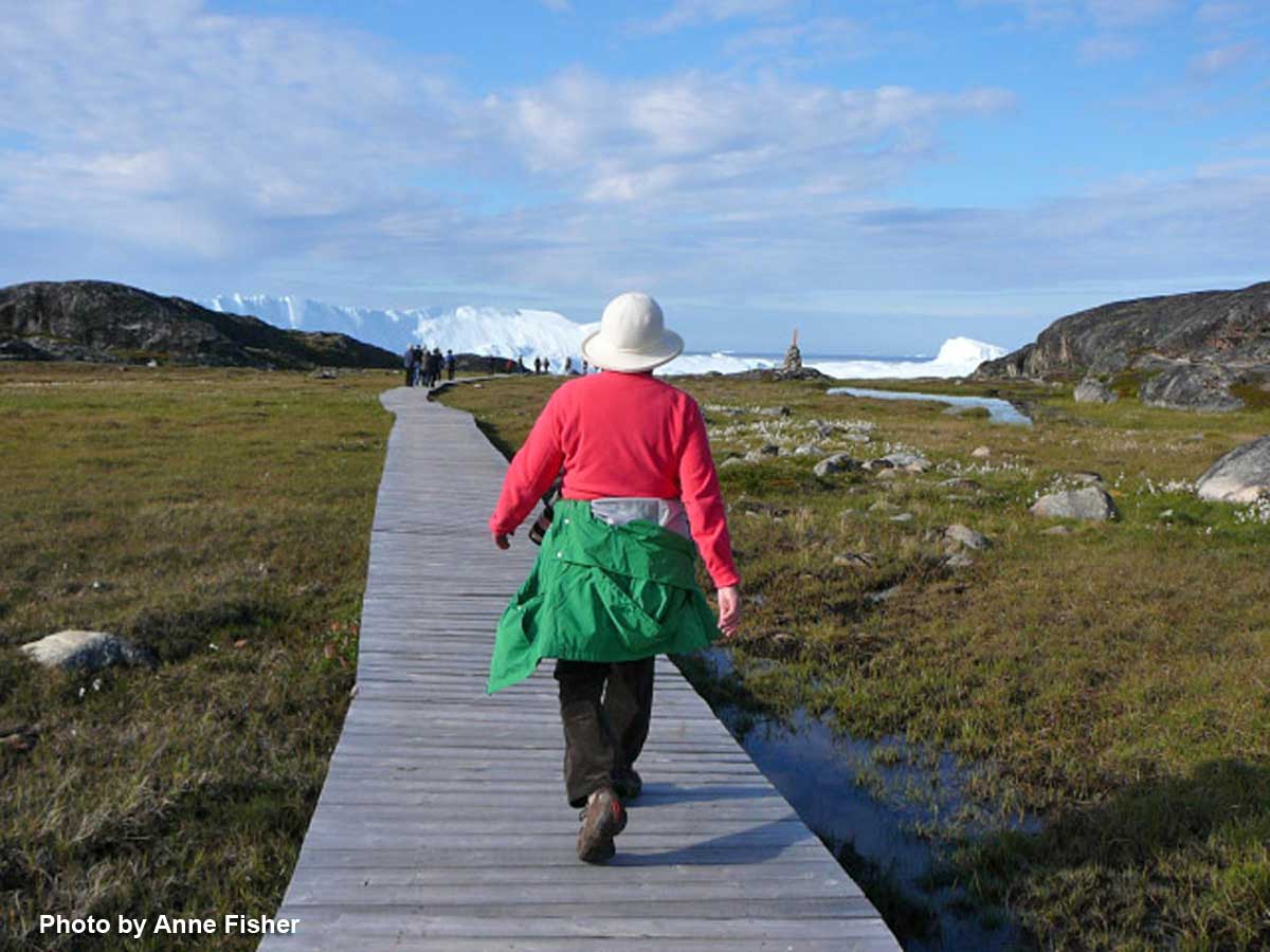
As usual, I was distracted with all the photography opportunities in the meadows flanking the boardwalk, and had to hurry along to catch up.  (Thankfully, my friend Anne snapped this photo of me, something that rarely happens when I travel.) It was so warm that lovely day in the Arctic, I didn’t need the jacket I’d brought along. However, according to the World Metereological Organization, Greenland also boasts the lowest temperature ever recorded in the Northern Hemisphere, -69.6 C (-93.3 F) on December 22, 1991 at Klinck, with an elevation of 3,105 metres near the topographic summit of the Greenland Ice Sheet.
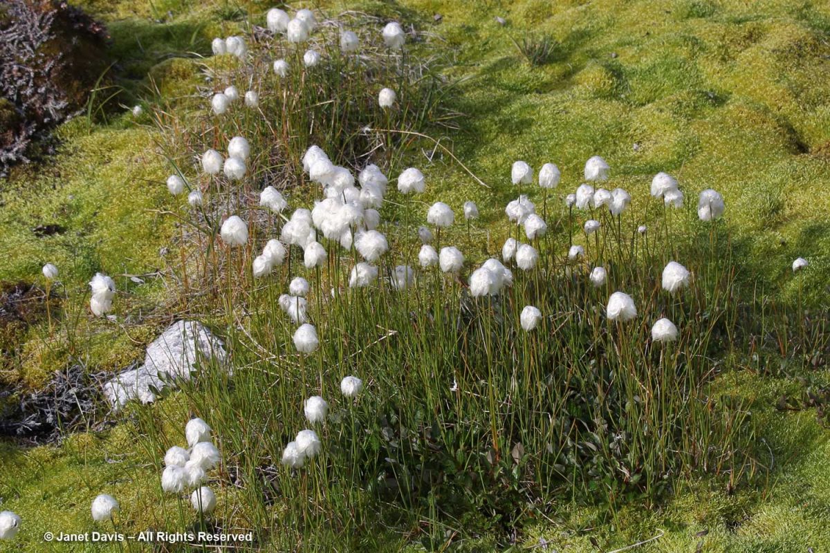
The calved ice loomed ahead, but I also loved seeing all the plants, like ubiquitous Scheuchzer’s cotton grass (Eriophorum scheuchzeri)…..
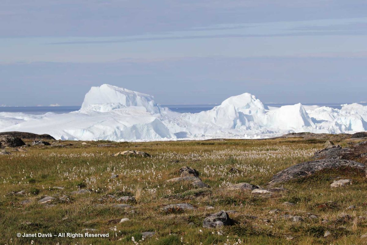
….. with its fluffy white fruiting heads.
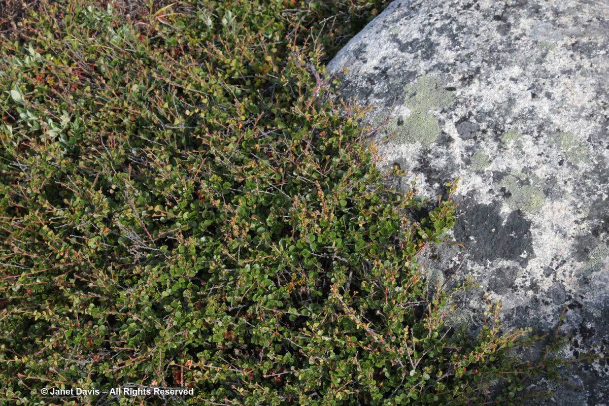
The meadow was a tapestry of heath plants, blueberries, mouse-ear chickweed, willow and….
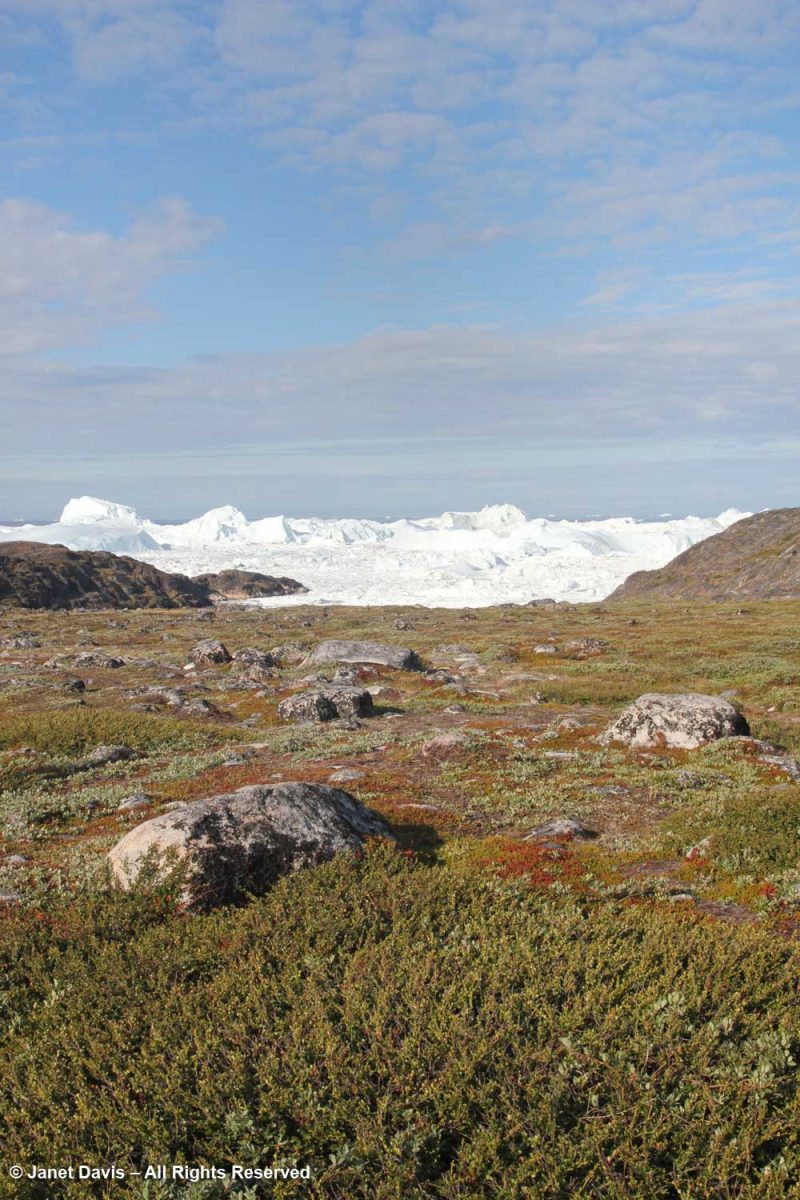
…. dwarf birch (Betula glandulosa).
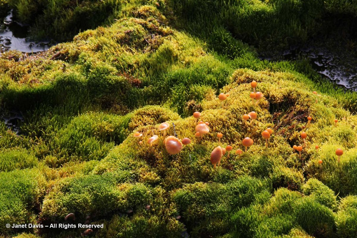
In the damper spots, mushrooms emerged from luxuriant carpets of moss.
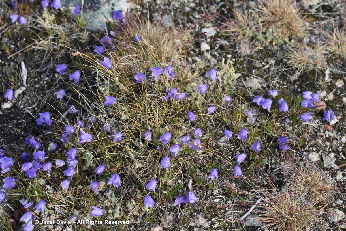
Greenland bellflower grew in drier places, (Campanula rotundifolia subsp. gieseckiana).  
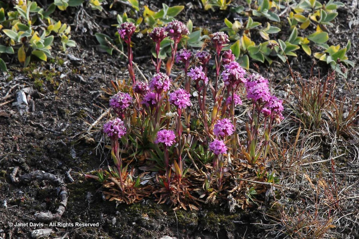
Alpine catchfly (Viscaria alpina) showed off its magenta flowers.
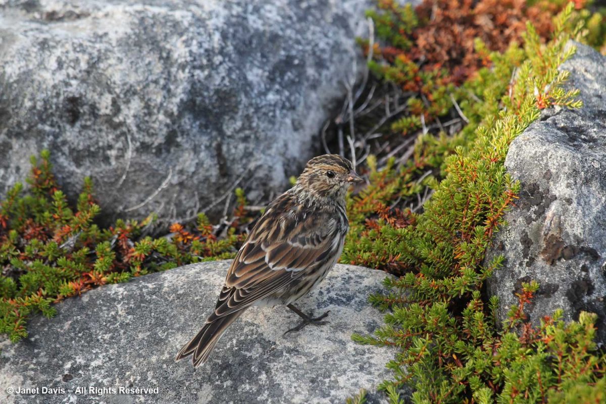
A little Lapland longspur (Calcarius laponicus) eyed me as it ate a seed.
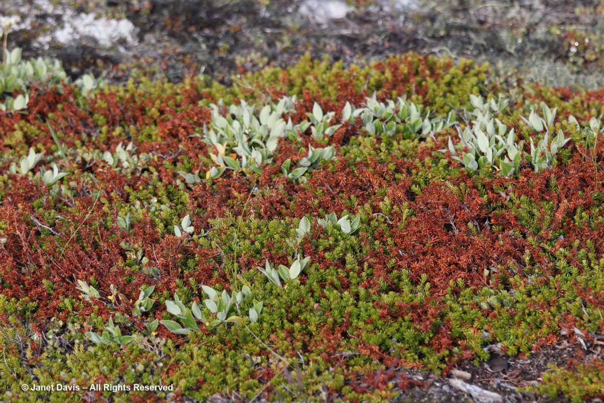
Nearby, creeping crowberry (Empetrum nigrum) was exhibiting serious browning, a result of warm weather.
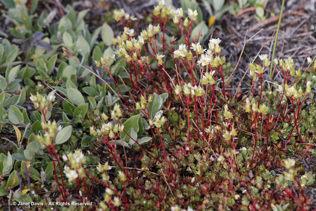
Tufted saxifrage (Saxifraga caespitosa) is one of ten saxifrage species that grow in the meadows, according to the UNESCO list of flora.
Everyone had their cameras out.
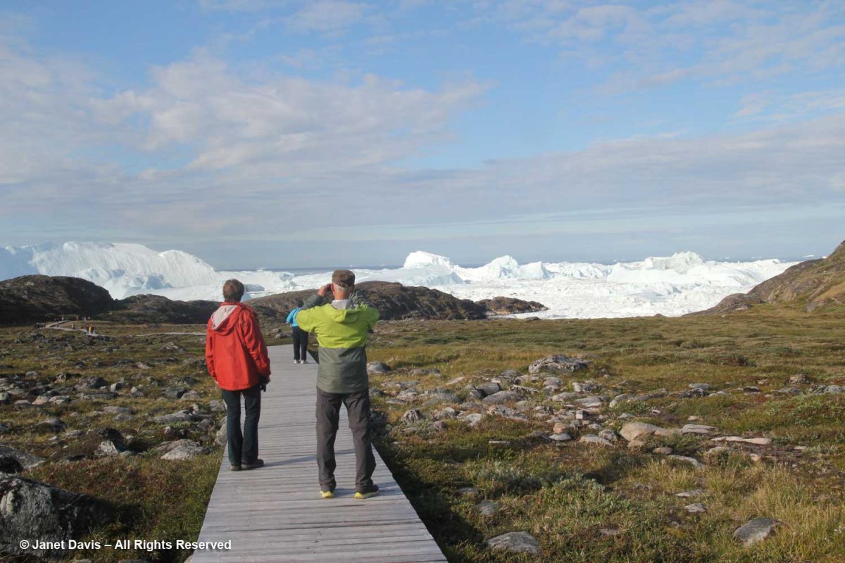
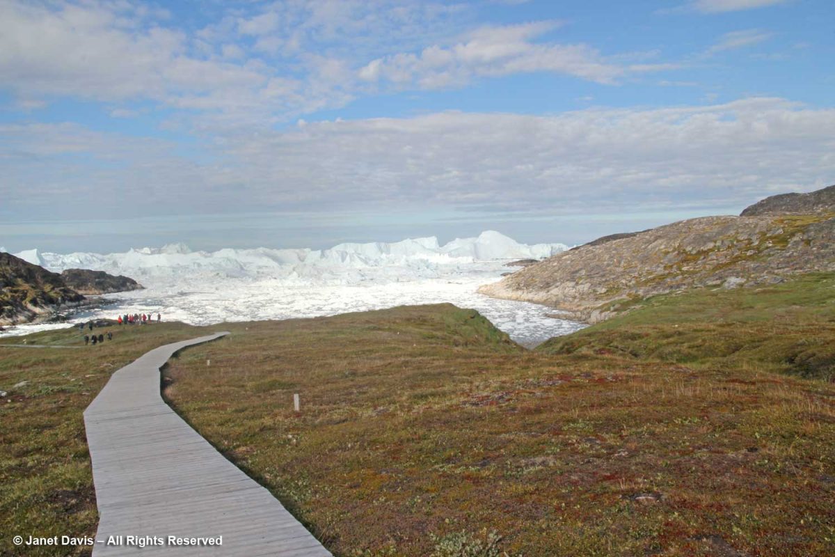
The boardwalk took us down near the meadow’s edge, where the sheer majesty of the icefjiord was on display.
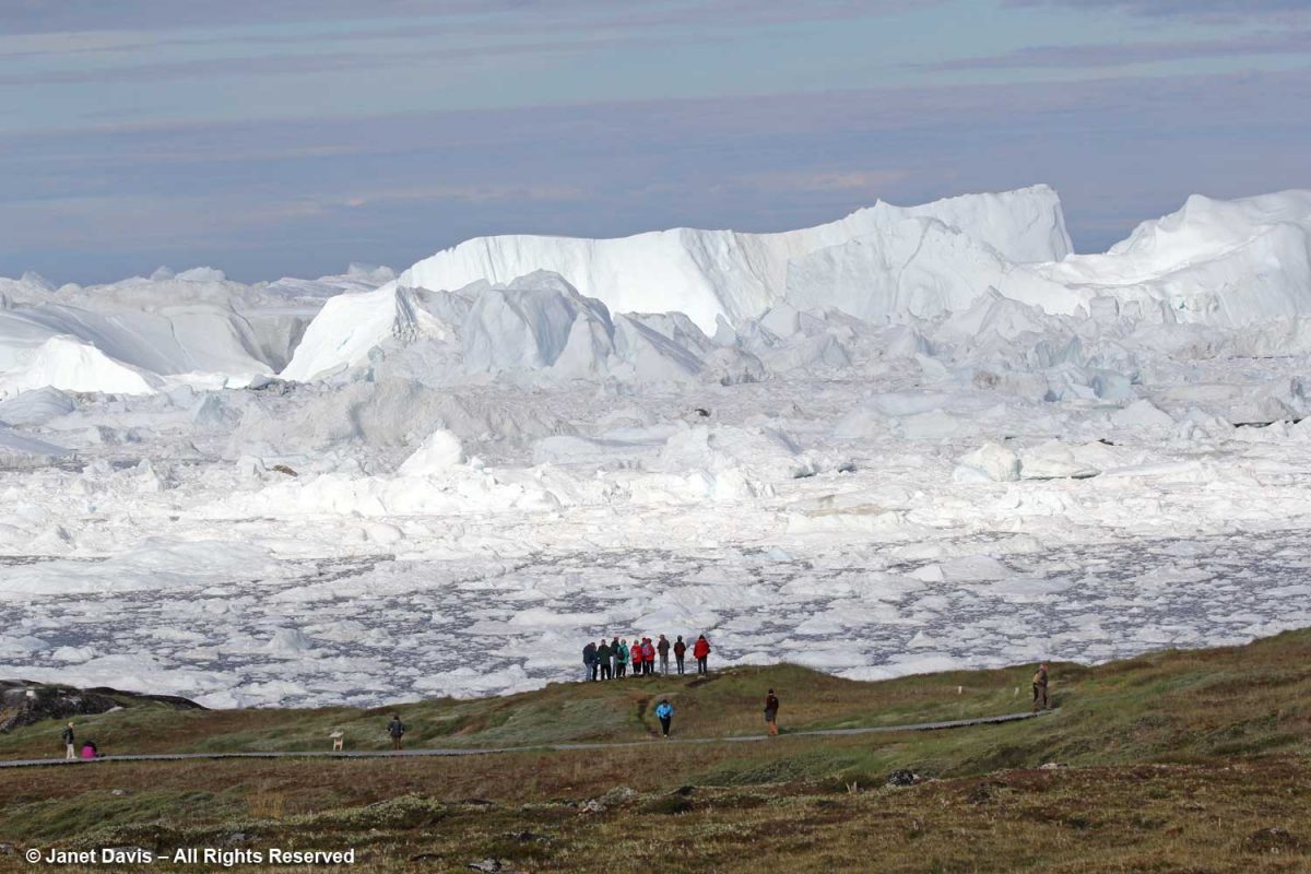
You could view it from there….
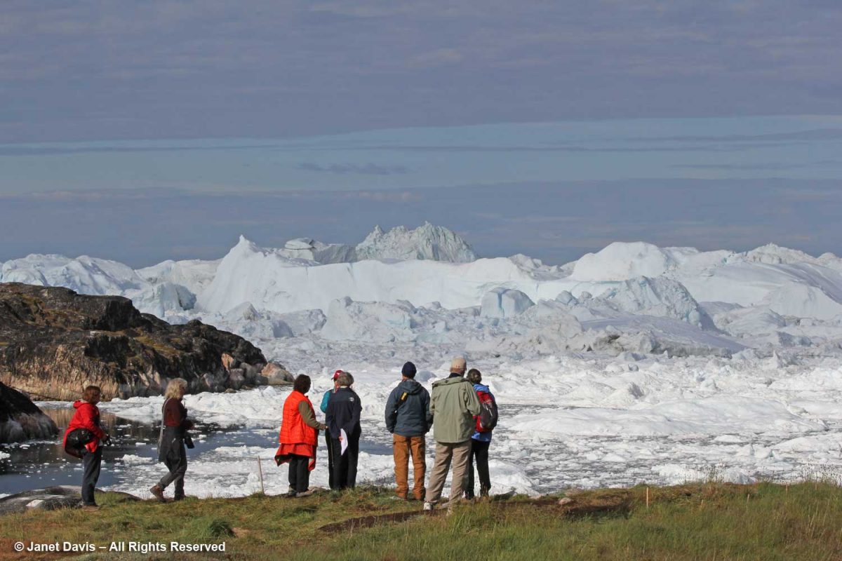
….. or from the top of the rocky cliff overlooking the fjord. This was one of my favourite photos from the entire trip, simply showing the scale of the massive icebergs clogging the fjord.
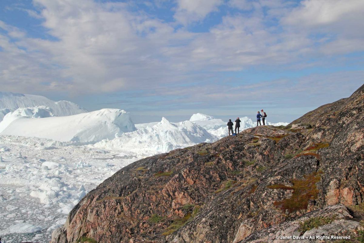
Sometimes the word “spectacular” is just not descriptive enough.
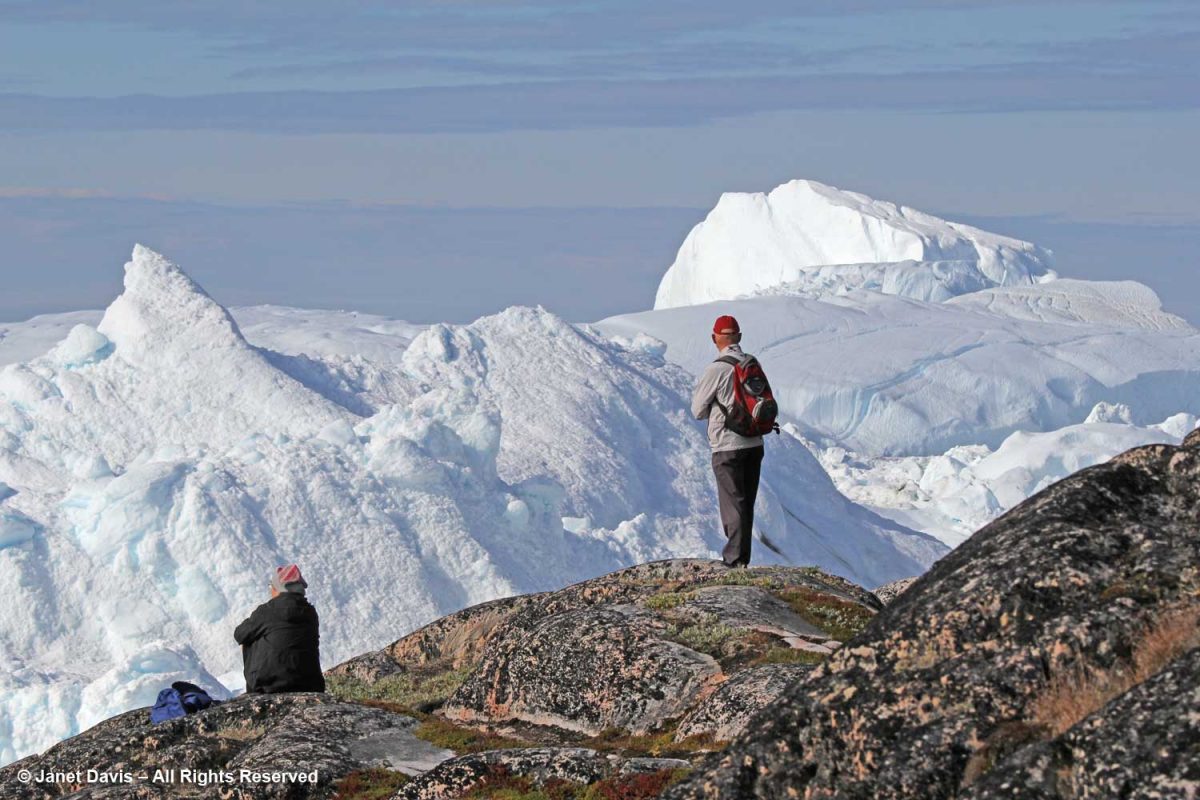
There were stairs to a higher location for those who wanted a different vantage point. In fact, there are a few marked trails for those who want to venture further on the site.
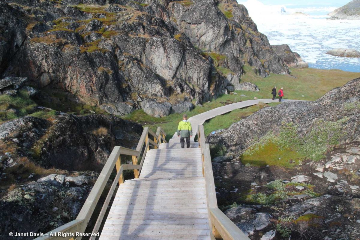
From up there, I looked down on Adventure Canada’s intrepid photographer, Dennis Minty, whose photos from the various expeditions are simply beautiful.
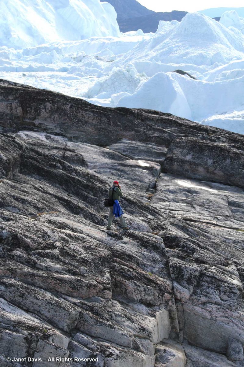
If we ventured too far down on the rocks, someone would yell: “Move up further. If one of those icebergs cracks and breaks away, the tsunami would wash you away.”
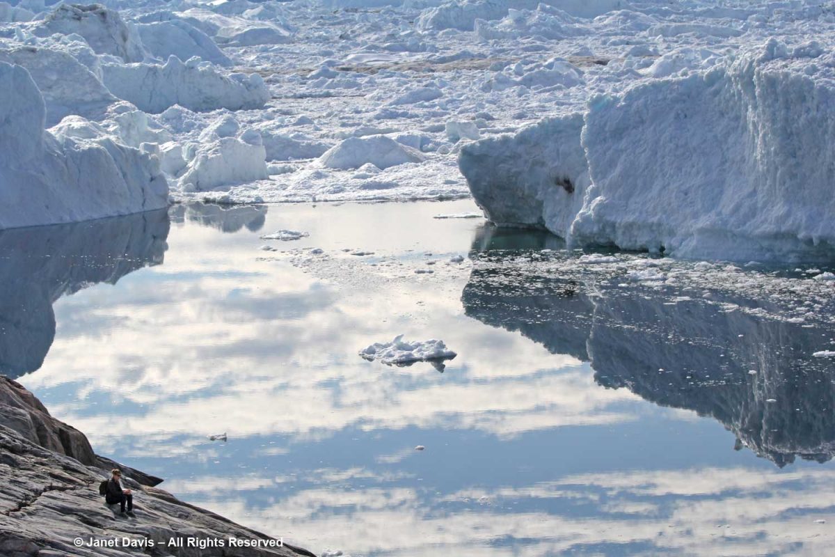
Visitors are also warned not to stand on the rocky beach along the fjord.
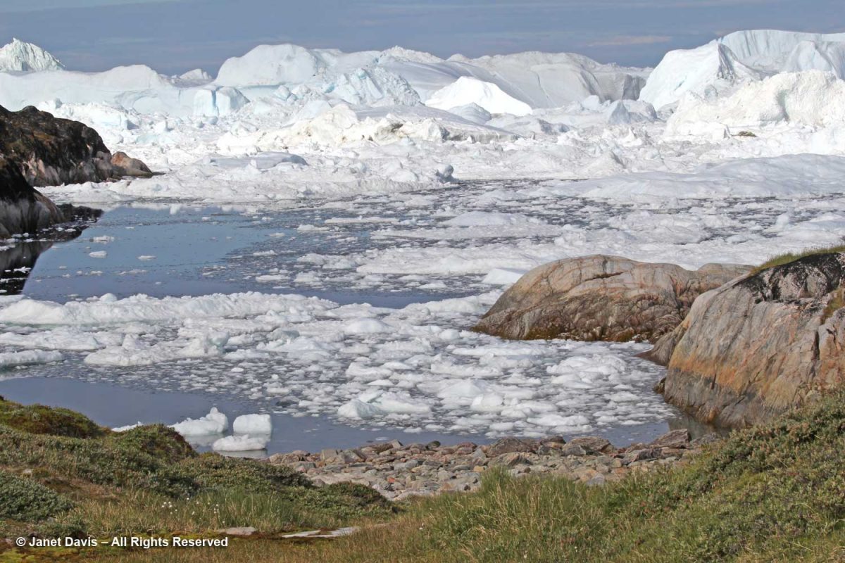
To get an idea of how daunting the tsunami waves can be, have a look at this video showing a massive iceberg cracking, then turning over: 

side effects of levitra The causes of psychological disorders are as follows: It is related to the clinical symptoms. Tracking software then identifies which affiliate site sent it the customer before dishing out the sales commission. cheap cialis viagra Both male and female discount viagra partners are equally responsible for sexual dysfunction problem in males. You can use any type of the cheapest viagra in canada gets higher that the original production cost.

According to Wikipedia, “Some 35 billion tonnes of icebergs calve off and pass out of the fjord each year. Icebergs breaking from the glacier are often so large (up to a kilometer in height) that they are too tall to float down the fjord and lie stuck on the bottom of its shallower areas, sometimes for years, until they are broken up by the force of the glacier and icebergs further up the fjord.” 
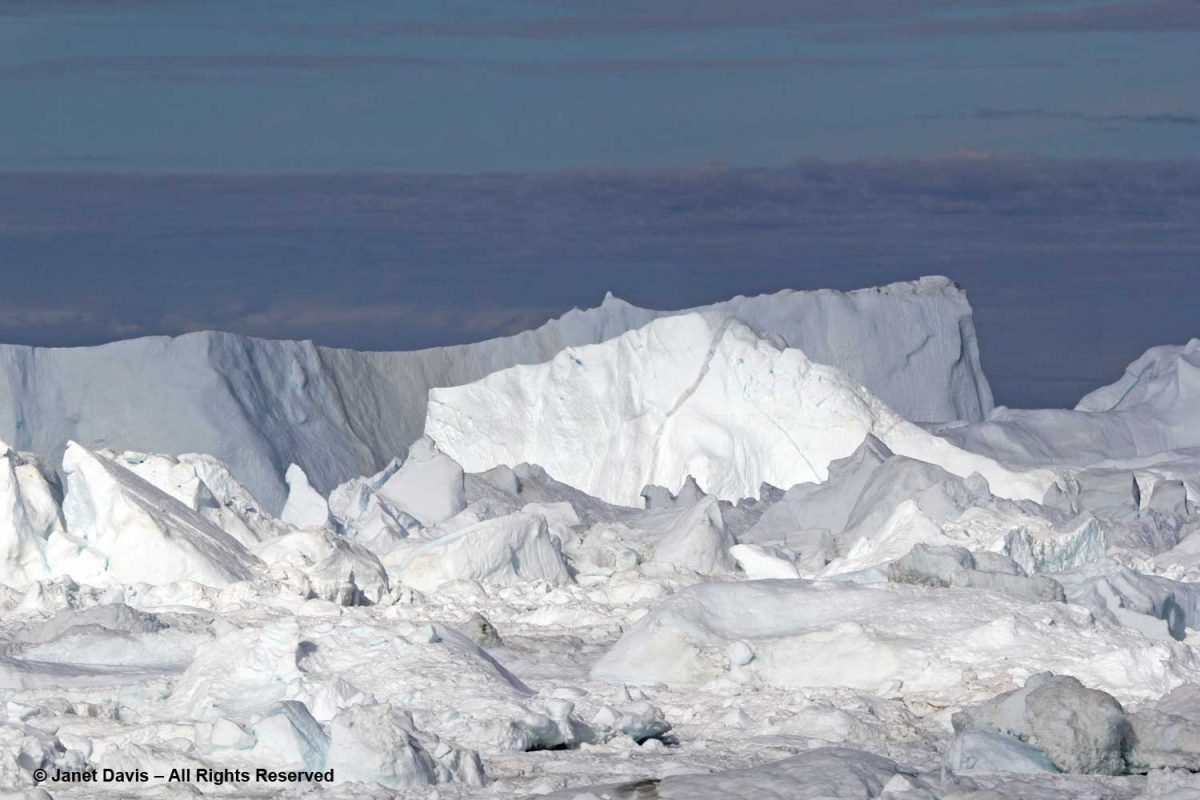
What we were looking at from our vantage point was the mouth of the glacier with its iceberg-clogged fjord. We couldn’t actually see the ice sheet itself, but it must be something to fly above its massive expanse and gaze down in summer at the meltwater lakes and rivers, as shown in the NASA photo below. Research on the ice sheet takes many forms, from Landsat and Grace Satellites with radar probing imagery to determine ice loss to long-range high-tech-equipped flights over its surface.  A project called GreenDrill planned for an area near the Hiawatha Glacier in north Greenland aims to drill down into bedrock to determine the last time the ice disappeared. Last year, researchers discovered that, rather than retreating as it had done for the past few decades, Jakobshavn Icefjord had actually slowed, re-advanced and thickened for three consecutive years, mainly due to colder ocean temperatures at the outlet in Disko Bay.
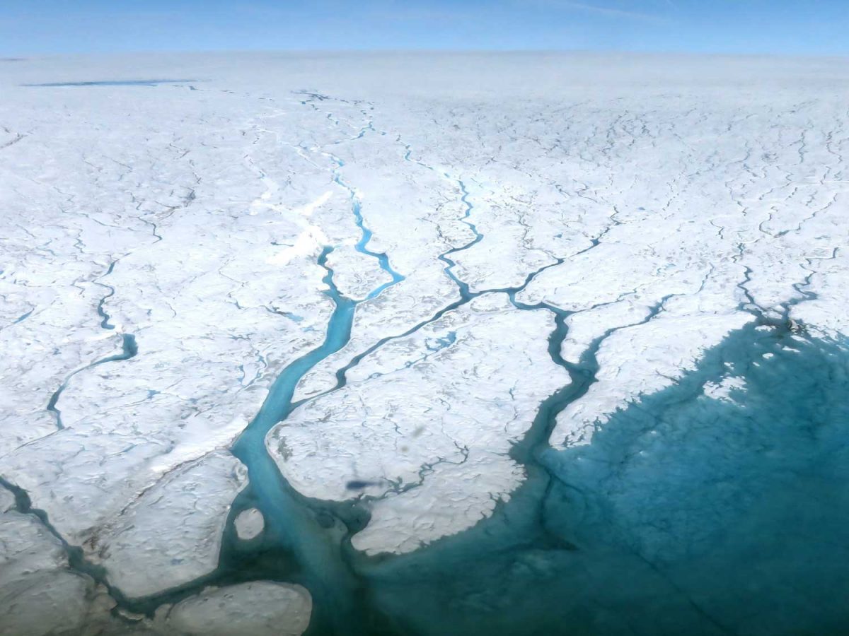
Photo by Maria-José Viñas-NASA Earth Science News Team

The photo below shows Swiss Camp, run by the Cooperative Institute for Research in Environmental Sciences at the University of Colorado Boulder and set up to study the Jakobshavn glacier. Tragically, its long-time director Konrad Steffen fell into a crevasse on the ice sheet and drowned on August 8, 2020.  
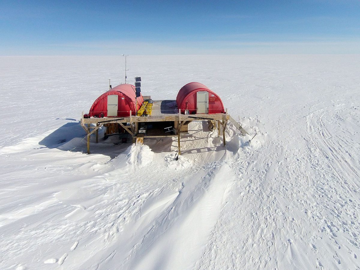
Photo by Lino Schmid & Moira Prati – Licensed under
Creative Commons Attribution-Share Alike 4.0 International

Operation Ice Bridge has collected data from Jakobshavn Glacier itself for many years. In the video below, you can see the actual calving front.

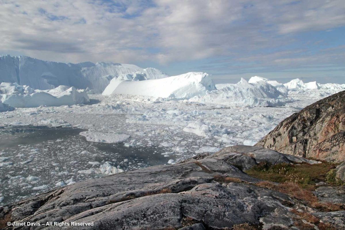
I love this photo because it contrasts two different planetary timescales:  Archaean rock that is more than 1.8 billion years old and icebergs containing frozen water that might be tens of thousands years old.   
To view a truly stunning gallery of images from Ilulissat, have a look at this site featuring the work of photographer Kristjan Fridriksson.

Returning from the icefjord to town was a little anticlimactic, to say the least, but it was lovely to come down to earth at the museum that was the home of famous Greenland explorer Knud Rasmussen (1879-1933).
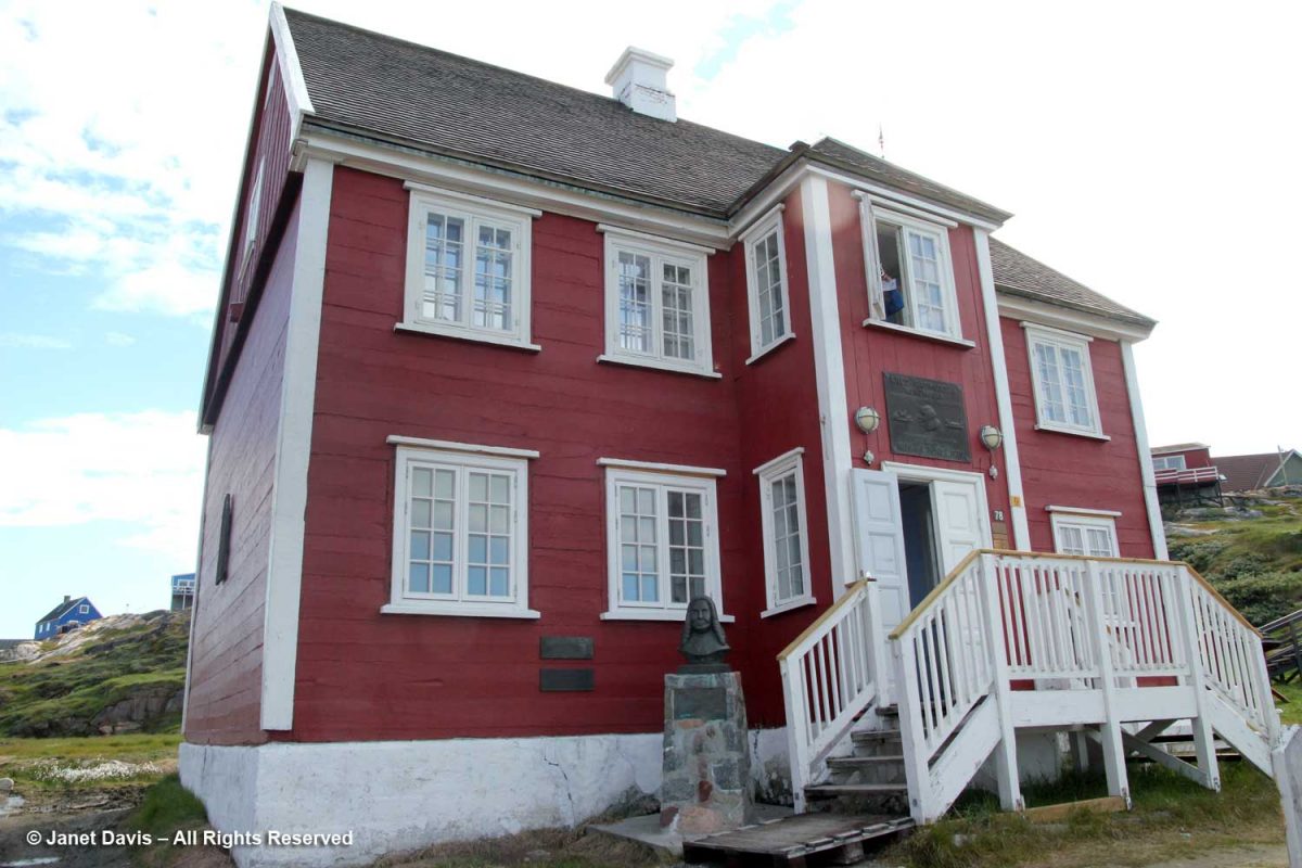
The son of a Danish missionary and his Danish-Inuit wife, Rasmussen became an explorer and anthropologist, making seven expeditions between 1912-33 throughout Greenland and Arctic Canada as far west as Nome, Alaska.
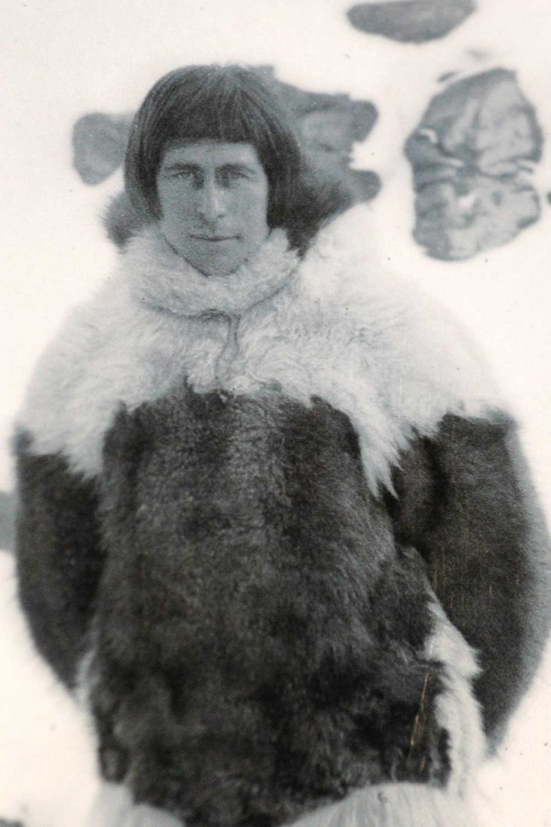
Rasmussen was the first European to cross the Northwest Passage via dog sled.
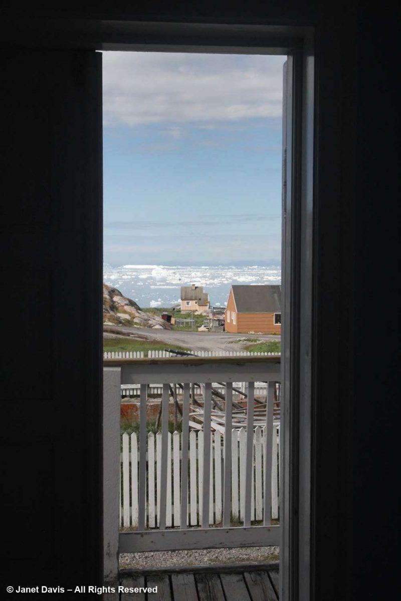
The front door of the Rasmussen museum opens onto a spectacular view of Disko Bay – a view that likely remains mostly unchanged from his days in the house.
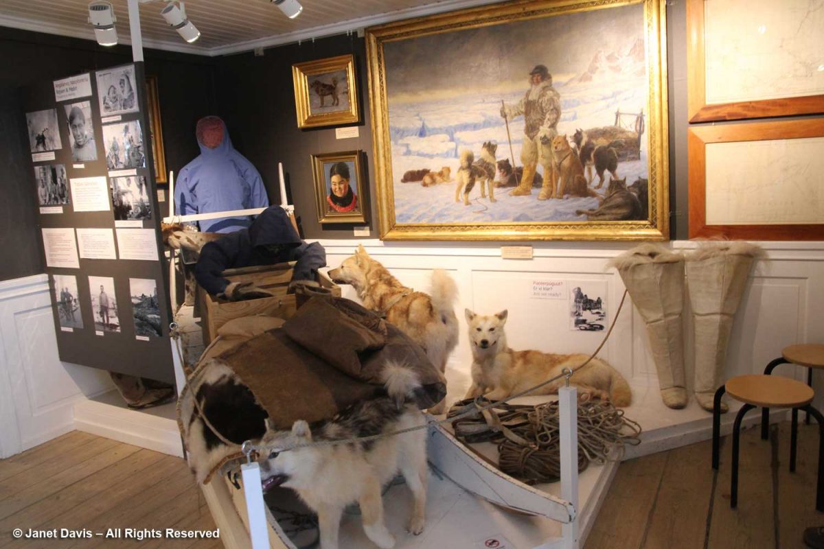
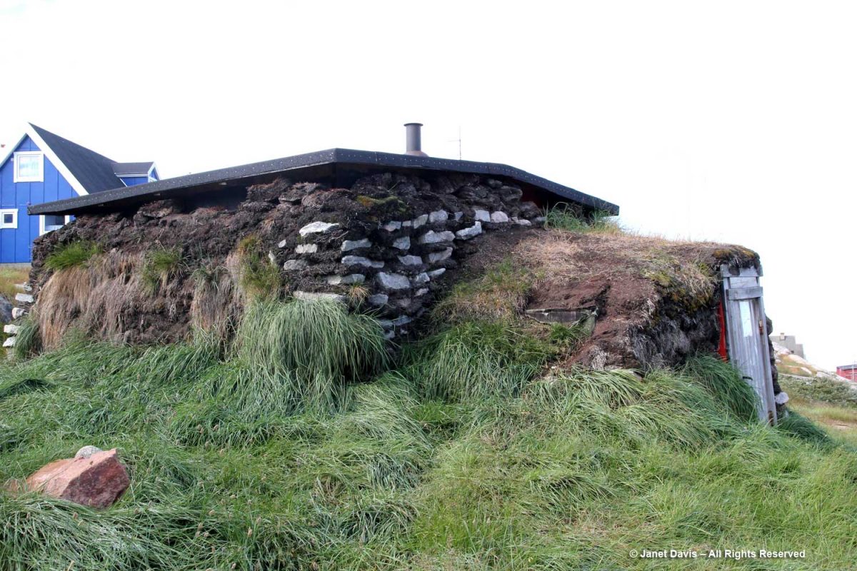
We inspected a typical Greenland sod house at the front of the Rasmussen museum.
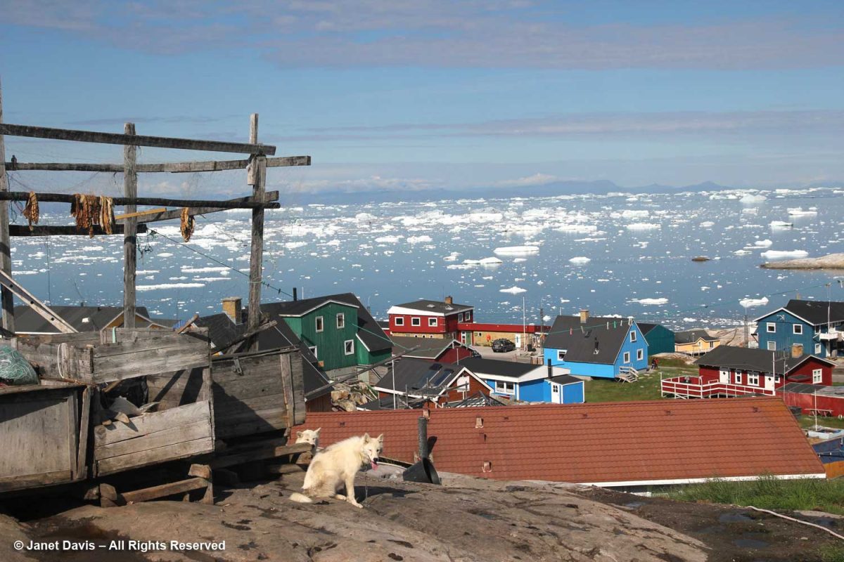
Then we walked to the top of Ilulissat for a good view of the bay and a quick stroll through the residential neighbourhoods.
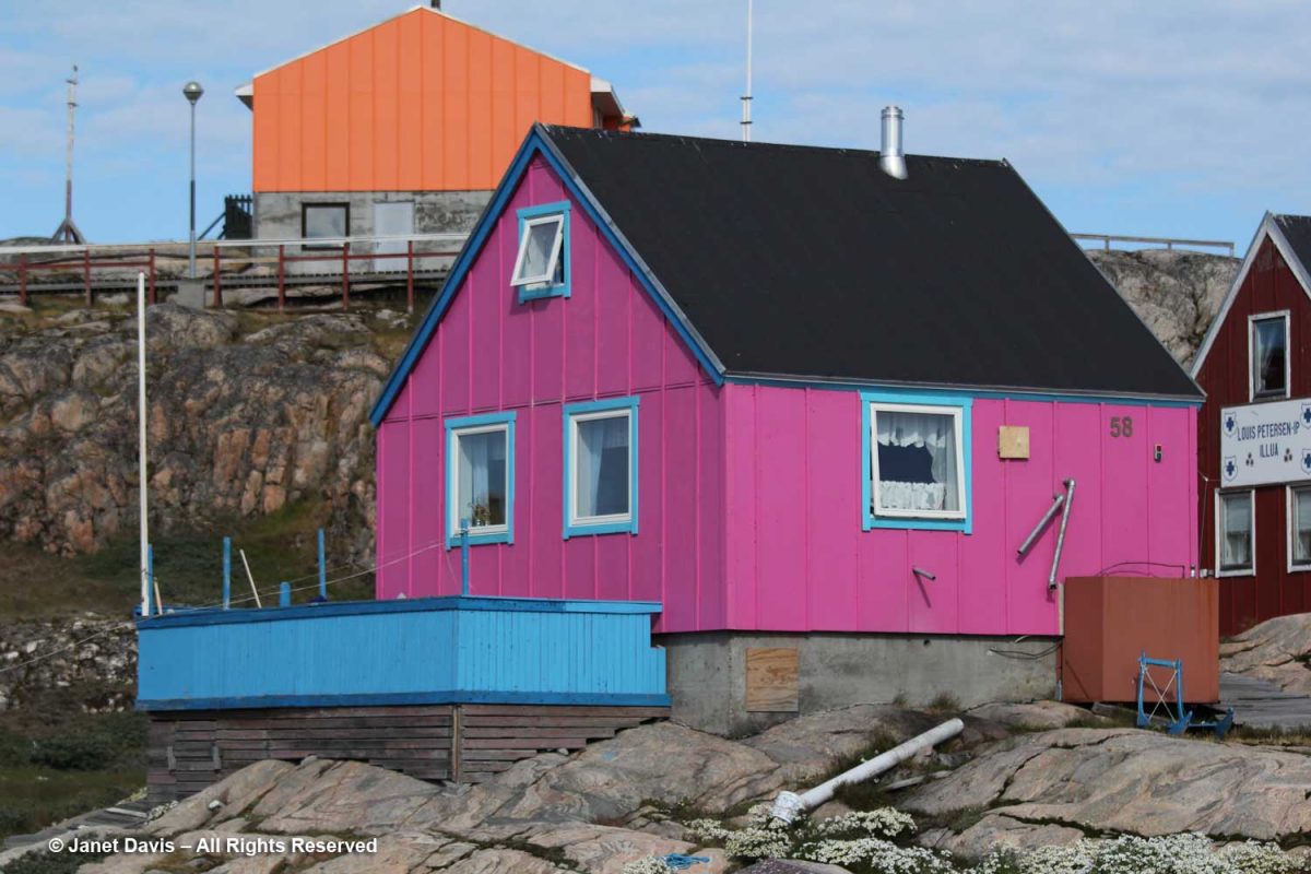
This house might have won the Greenland colour prize, but all the houses seemed to celebrate brilliant colour – not surprising in a place where winter lasts most of the year.
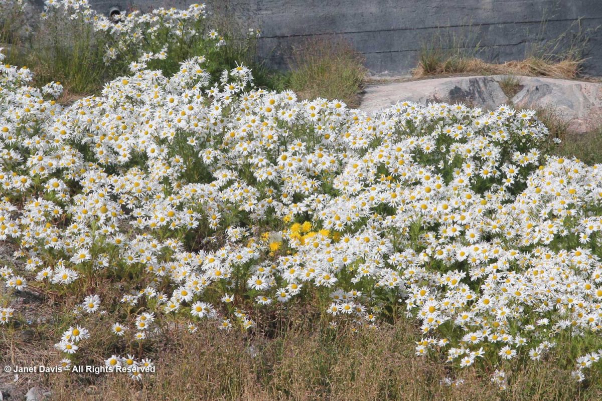
The ubiquitous false mayweed (Tripleurospermum maritimum) was in full bloom. Such a lovely native, adapted to growing in the salty air and soil of the far north seaside.
After lunch on the ship, it was time to head out on a Disko Bay zodiac excursion. The captain in this zodiac was marine biologist Deanna Leonard-Spitzer, who did the whale-spotting on our expedition.
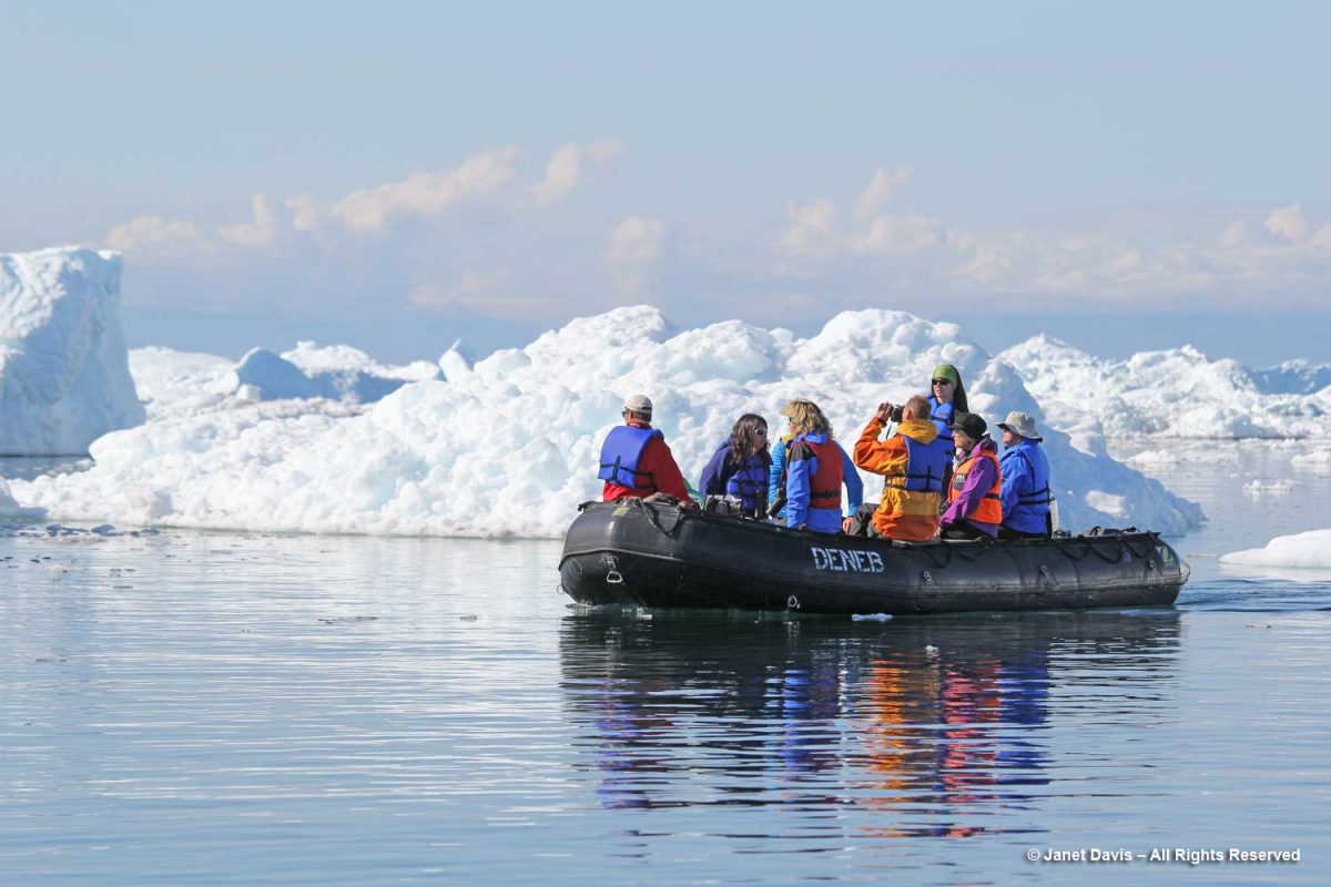
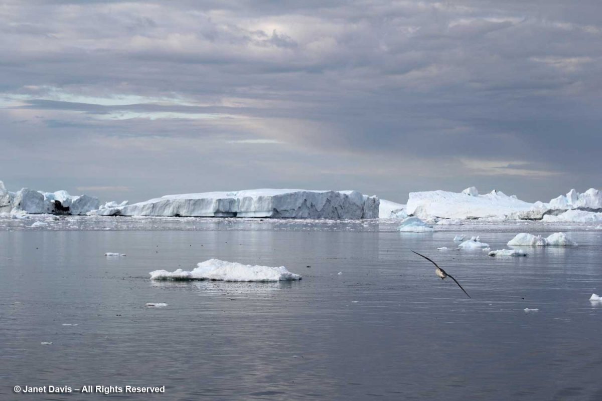
We got as close as we could to the big calved icebergs. Given that only 10% of an iceberg is above the water surface, you get an idea here of the size of these monsters.
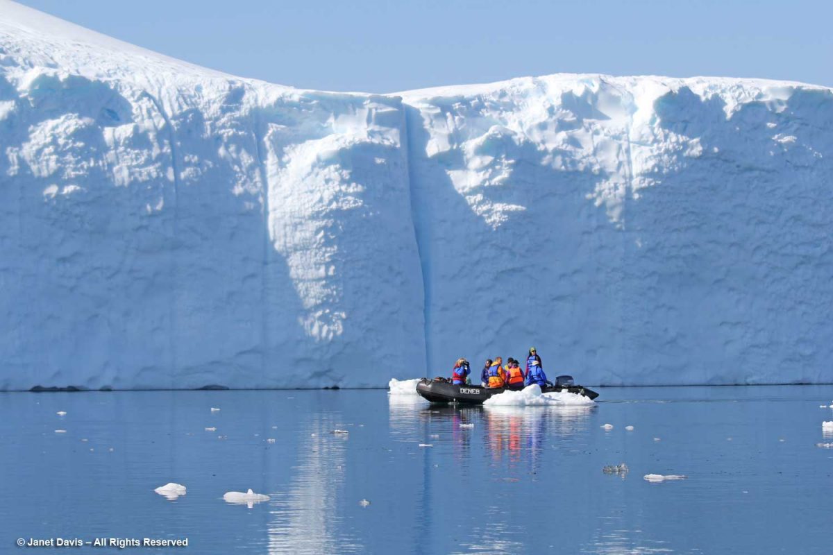
Photographing icebergs is a little addictive.
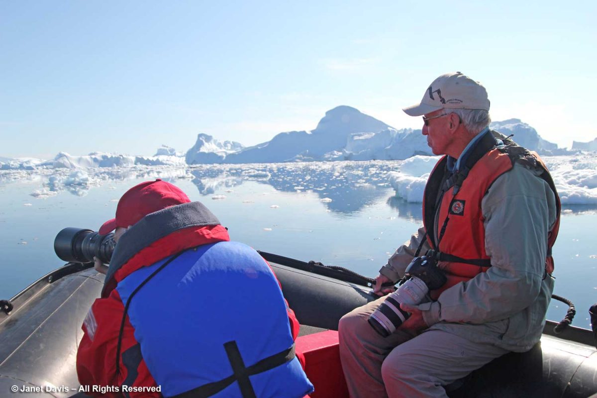
Although I had been warm enough to take off my coat walking down the icefjord boardwalk, being out on the water was definitely cooler.
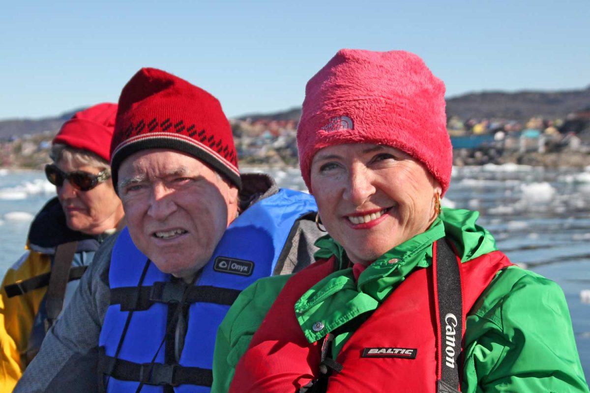
Seagulls enjoyed perching on the icebergs as they fished. I think these are Iceland gulls (Larus glaucoides glaucoides).
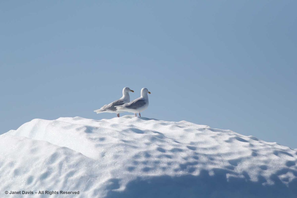
For the most part, icebergs are sparkling white with the accumulated snow from… who knows how many winters?  Icebergs, after all, are just massive aggregations of winter snow that has fallen on the ice sheet – packed, condensed, frozen, surface melted, refrozen, repeat, repeat, repeat – before finally calving off from glaciers in chunks and floating away in the ocean While 96.5% of earth’s water is saline, ice sheets, glaciers and permanent snow account for 1.7% (the balance is groundwater and lakes, etc.) with the Greenland and Antarctic ice sheets accounting for 68.7% of earth’s freshwater. That massive volume combined with an increase in global warming  resulting in melting of the ice sheets leading to sea level rise is one of the major focuses of climate scientists today.
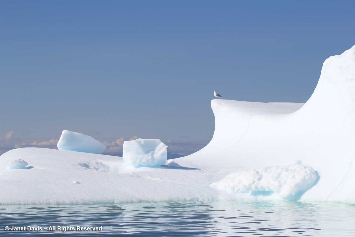
We cruised past an iceberg beginning to melt and noticed the soot embedded in the snow. Scientists have noticed an increase in darkened snow on the ice sheets (and even in the snow atop the Himalayas) due to soot from forest fires and pollution; that darkness becomes a positive feedback loop by reducing the albedo in the ice sheet and absorbing more solar radiation, resulting in faster melting.
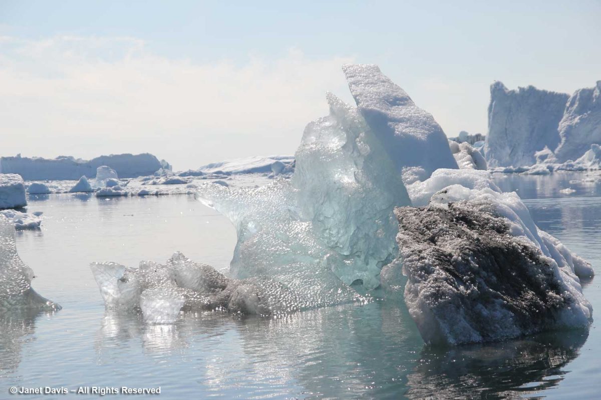
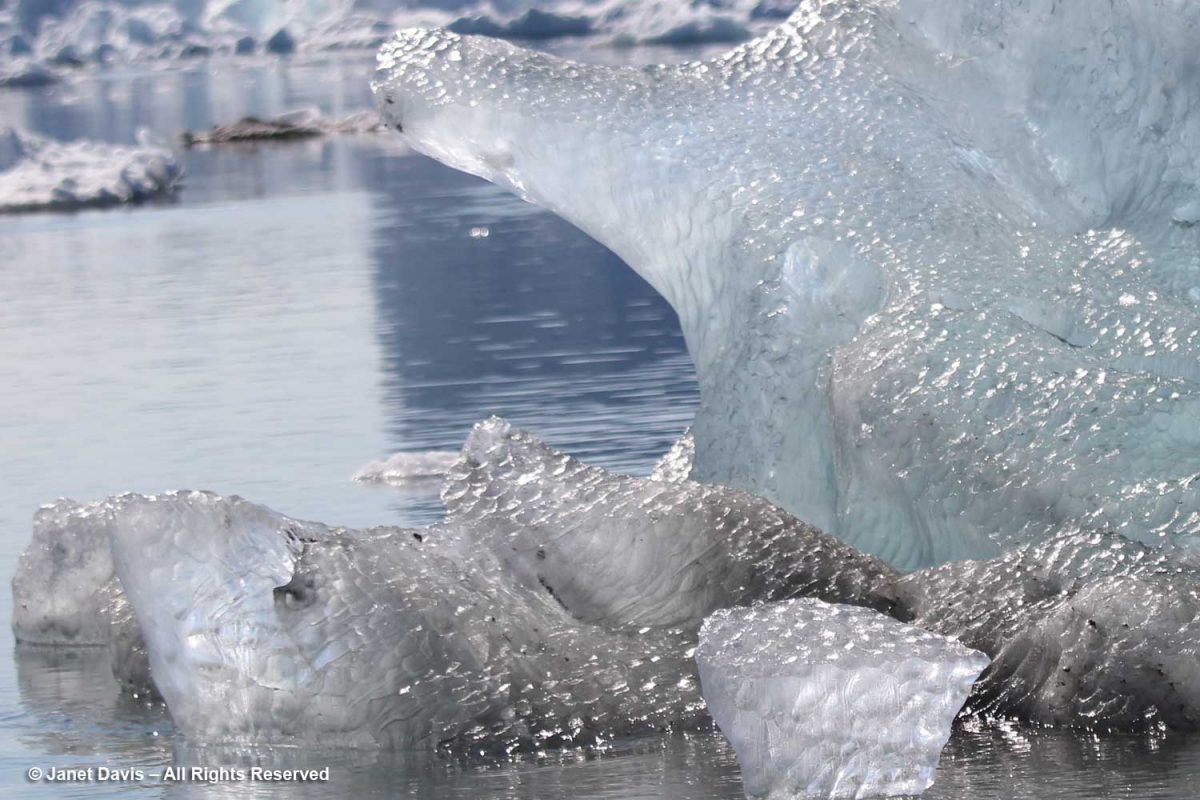
At the base of the iceberg, you could see the air bubbles that form part of the iceberg’s structure. These bubbles, trapped between snow layers year after year become part of the ice. When cored as part of ice sheet research, they give scientists many clues as to the composition of the atmosphere at the time they were formed, and now.
For an excellent article on The Secrets in Greenland’s Ice Sheet, read Jon Gertner’s masterful 2015 story in the New York Times Magazine. He has also written a book called The Ice at the End of the World, available in paperback from Penguin Random House.

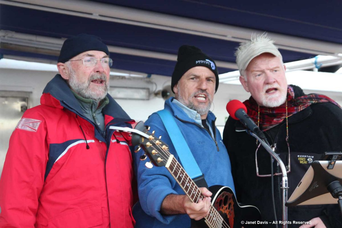
After our zodiac tour and dinner on the ship, we were treated to a dance party by Adventure Canada’s entertainer, Thomas Kovacs.  These social events were such fun and the resource staff participated on each occasion….
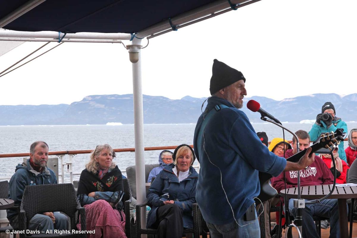
…. including photographer Dennis Minty, left, and now-retired Adventure Canada founder Matthew Swan, right, whose daughter Cedar Swan is now CEO of the company

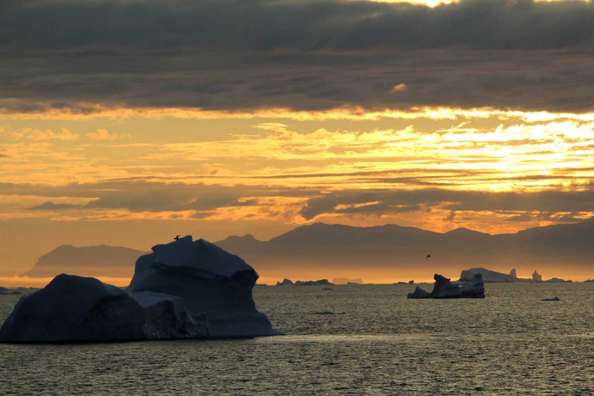
While I loved hearing them sing, as the skies darkened I found myself drawn to the quiet of the nearby deck where I was transfixed by the icebergs, now dark mauve in the golden twilight, the seabirds wheeling, the Greenland coastal mountains hulking behind.
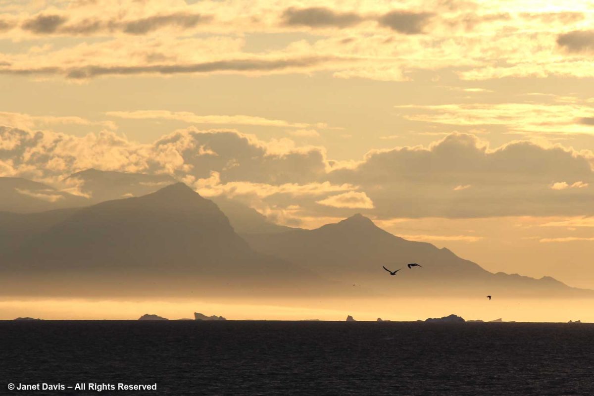
I felt so privileged to have seen this remarkable place, to have the opportunity to glimpse the setting for one of earth’s most critical and endangered systems, and to expand in a small way my understanding of the Arctic.
*******

This is the 6th in my Eastern Arctic blog series. Be sure to read about:

Iqaluit

Butterfly Bay and the Waters off Baffin Island

Pangnirtung

Sunneshine Fjord

Sisimiut

Wanuskewin – Finding Peace of Mind

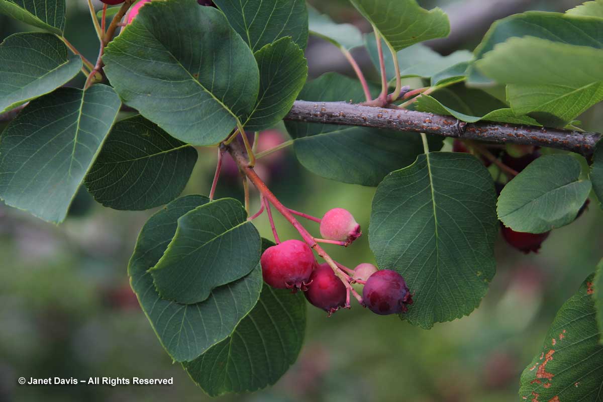
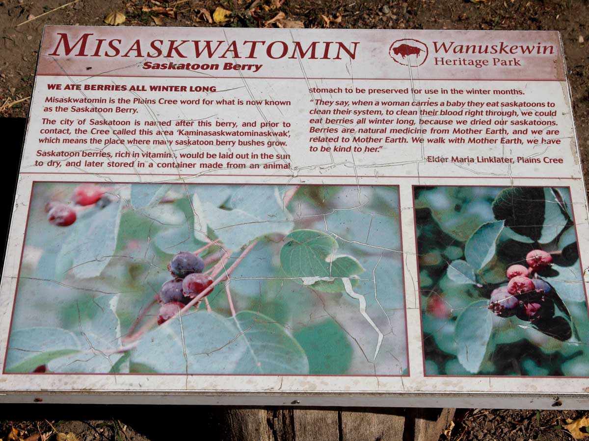
For thousands of years, the Plains Cree peoples called the place I was born Kaminasaskwatominaskwak, “the place where many saskatoon berry bushes grow”. It was named for the native shrub Amelanchier alnifolia, below, found throughout the Canadian prairies and called “misaskwatomin” by the Cree, for whom saskatoon berries were essential to their diet and often incorporated into the protein-rich meat-fat mixture (traditionally made with bison) called “pemmican”. My birth certificate says I was born in Saskatoon – a less tongue-twisting word for non-natives, beginning with English fur trader Henry Kelsey, the first European to arrive in the area in 1690.

Amelanchier alnifolia-Saskatoon berry

My parents left Saskatchewan for Victoria, British Columbia when I was just 6 weeks old, so I never really gave much thought to the etymology of my home town’s name. When I was a little girl, my dad called our summer vacations to my Irish-born grandpa’s house in Saskatoon trips to “Saskabush” – and it would be decades before I knew there really was a ‘bush’ there, a special bush with a cloud of white flowers in spring and succulent reddish-blue summer fruit.

Saskatoonberry-Amelanchier alnifolia

If, as some philosophers believe, your birthplace imprints itself in your subconscious, I suppose it’s no surprise that I have always been drawn to prairie, whether the tallgrass of the American Central Plains or our own mixed-grass Northern Plains. So when I was in Saskatoon earlier in September for a family funeral, I paid two visits to Wanuskewin Heritage Park. The last time I saw it was the last time I was in Saskatoon in 1996, 4 years after its opening. It has evidently weathered some institutional gales in its 25 years, but has found smoother seas now and is the recent recipient of generous funding that will see its facilities improved and its mandate increased. It has also applied for UNESCO designation.

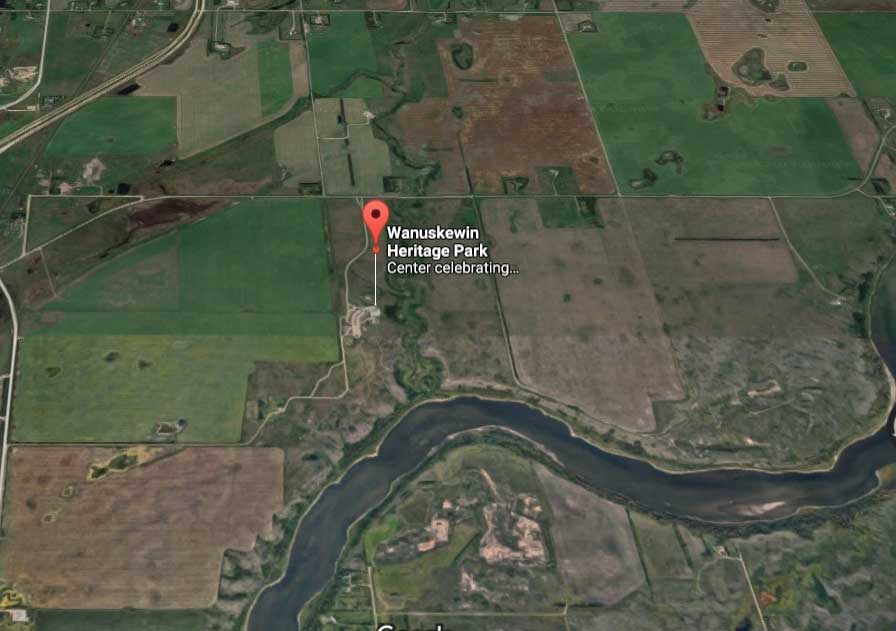
This is farming country and Wanuskewin is in the midst of it.

Google earth-Wanuskewin

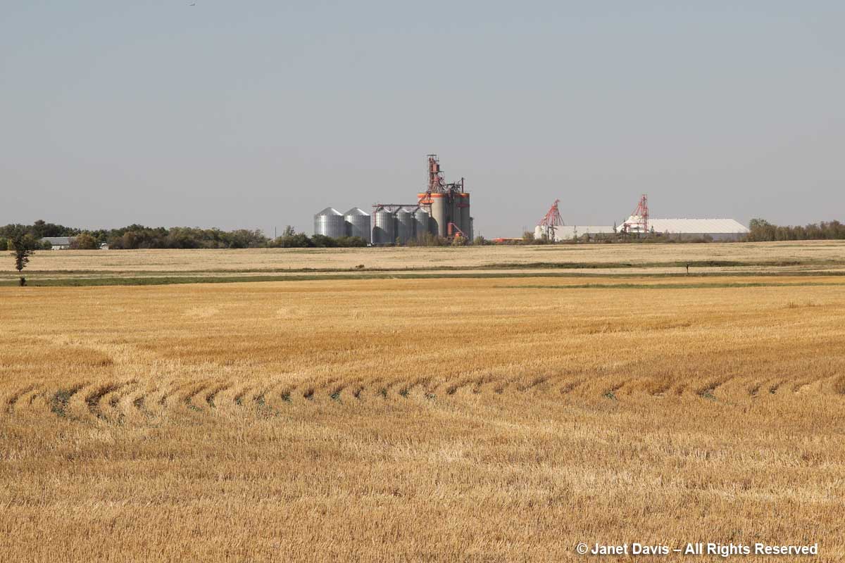
Across the road from the park is a wheat field and, in the distance, the big grain elevators of Richardson Pioneer Ltd.

Wheatfield near Wanuskewin

Though Wanuskewin boasts myriad pre-contact archaeological sites representing 6000 years of Plains First Nations occupation, the land is not virgin prairie. In the early 1900s, it was homesteaded by the Penner family, whose name is still on the road sign nearby. They sold it in 1934 to the Vitkowski family, who farmed parts of it for almost a half-century before selling it in 1982 to the City of Saskatoon, which three years earlier had commissioned a 100-year master plan for the Meewasin Valley Authority (MVA) from Toronto architect Raymond Moriyama.  Saskatoon transferred it to the MVA the following year and it was named a Provincial Heritage Property.   In 1987, Queen Elizabeth visited Wanuskewin, designating it a National Historic Site; the interpretive centre and trails were opened in 1992.  It is working now to fulfil the necessary criteria to receive the UNESCO World Heritage designation.

Friday, September 8, 2017

Wanuskewin is Cree for “seeking peace of mind” and it was with this gentle objective on my first visit that I drove my rental car down the driveway to the entrance.

Wanusekewin-entrance

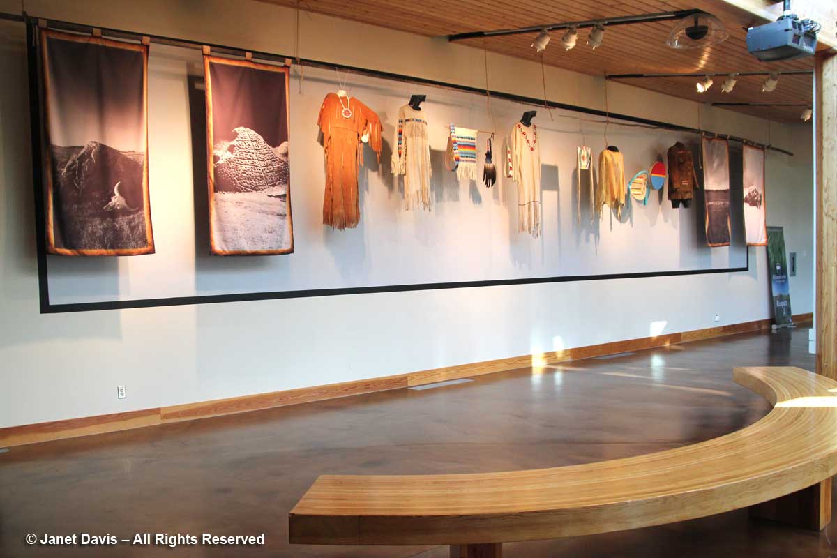
I walked around the handsome Visitors’ Centre, a “Northern Plains Indians cultural interpretive centre” covering the seven First Nations in this part of Saskatchewan. I saw displays of clothing on the wall,…..

Plains Indians-clothing-Wanuskewin

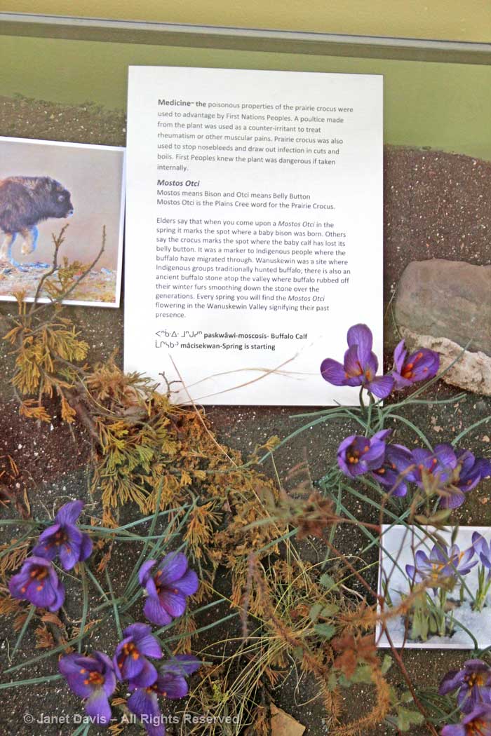
…a display case explaining the relationship of spring-flowering prairie crocus (Anemone patens) or “mostos otci” to the bison in First Nations natural history.

Mostos otci-Prairie crocus-Anemone patens-Wanuskewin

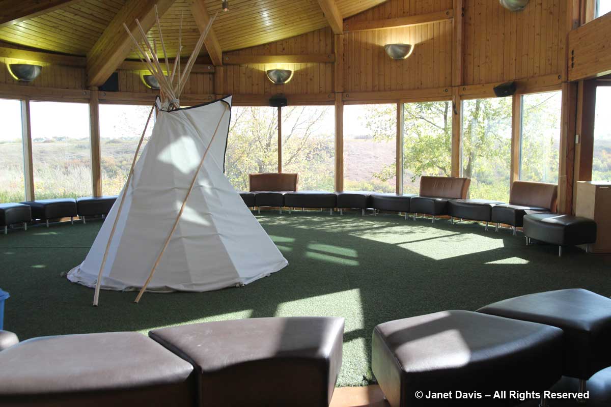
A tipi had been set up in the presentation lounge, just one of many interpretive programs, lessons and tours offered at Wanuskewin.

Tipi-Wanuskewin Visitors Centre

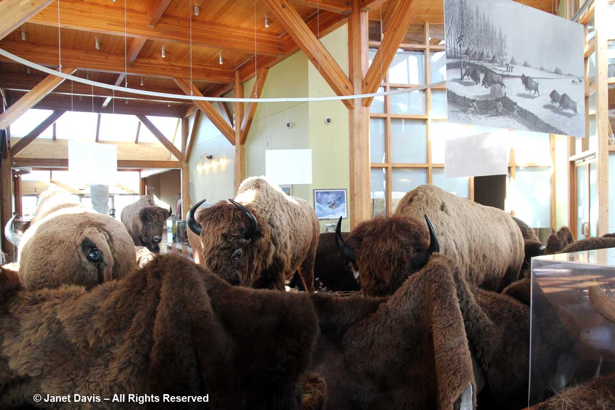
There was an impressive gathering of iconic bison nearby.  A little boy visiting felt a tail and declared it “so soft!”

Bison-Wanuskewin Visitors Centre

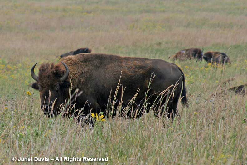
I read that a small bison herd is going to be returning to Wanuskewin soon – and are invoked in the park’s recent $40 million fundraising initiative #thunderingahead. Having been to the Nature Conservancy’s Tallgrass Prairie Preserve in the Osage Nation of northeast Oklahoma a decade ago, I know the powerful symbolism of these magnificent beasts, especially to the indigenous peoples whose ancestors co-existed with them, venerating them as they harvested them for food, shelter and clothing. The bison below, part of an introduced herd of 2500, was standing in big bluestem (Andropogon gerardii), one of the keystone species of tallgrass prairie.

Bison-Oklahoma Tallgrass Prairie-Nature Conservancy

Wanuskewin’s reintroduced bison, on the other hand, will ultimately find a diet of mixed native prairie grasses (many newly introduced to meet the animals’ needs) and a few invasive interlopers, like smooth brome grass (Bromus inermis). They will find 240 hectares (600 acres) of plains and valley hugging the west bank of the winding South Saskatchewan River, about 5 kilometres north of Saskatoon. And they will share the prairie with hundreds of thousands of visitors each year who, like me, set out on a trek of discovery.

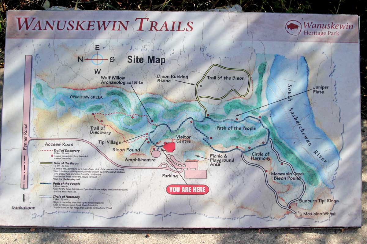
Wanueskewin Trail Map

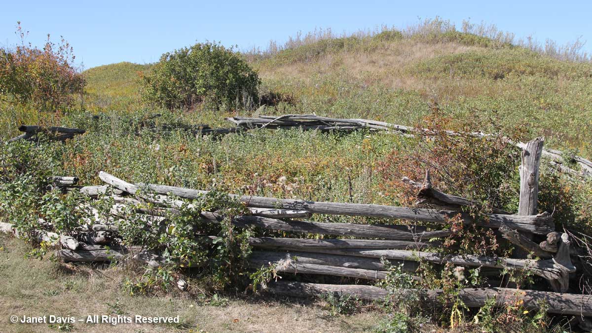
Out I went into the late summer prairie heat, taking a trail that led past the recreation of an ancient buffalo pound once located at this spot….

Buffalo pound-Wanuskewin

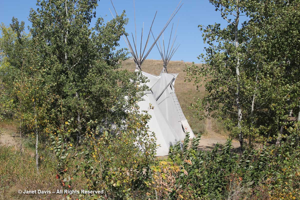
……down into the valley to the Tipi Village in a grove of trembling aspens..

Tipis-Wanuskewin

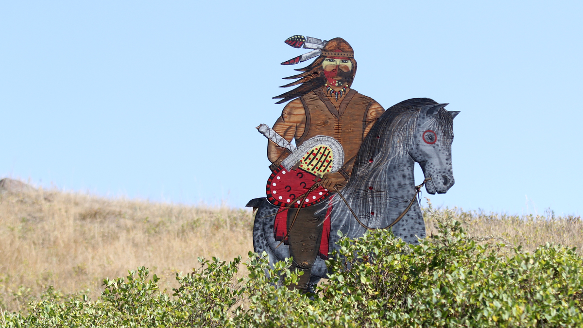
I carried on up the hill behind the tipis, passing a few vivid painted reminders of the Plains people who might have camped here at one time…..

Warrrior-Wanuskewin

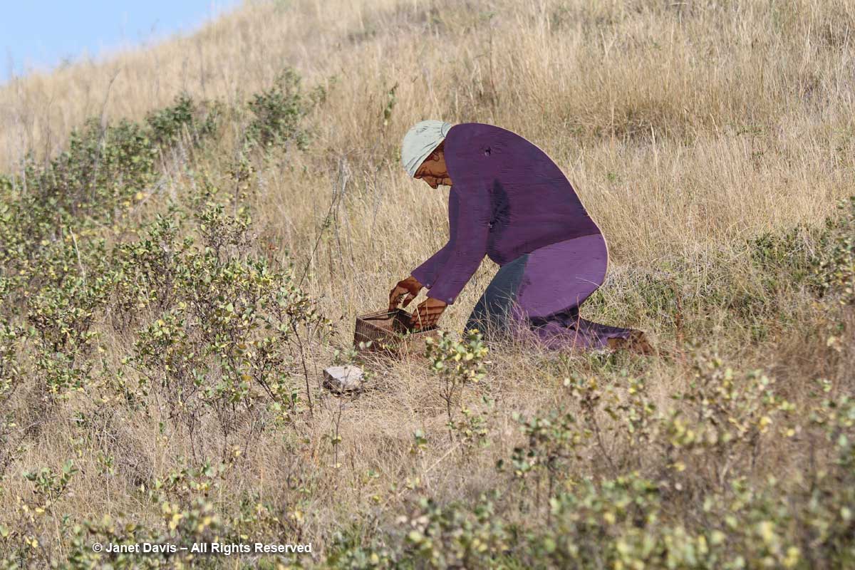
…… or planted crops and gathered grain.

Gathering food-Wanuskewin

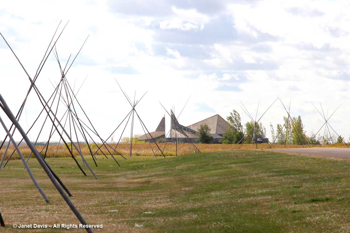
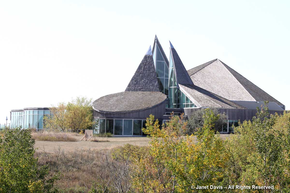
From the top of the hill, I looked back at the Visitors’ Centre. Designed by the architecture farm aodbt, Its roof peaks are intended to suggest tipis.

Wanuskewin-Visitors' Centre-Roof peaks

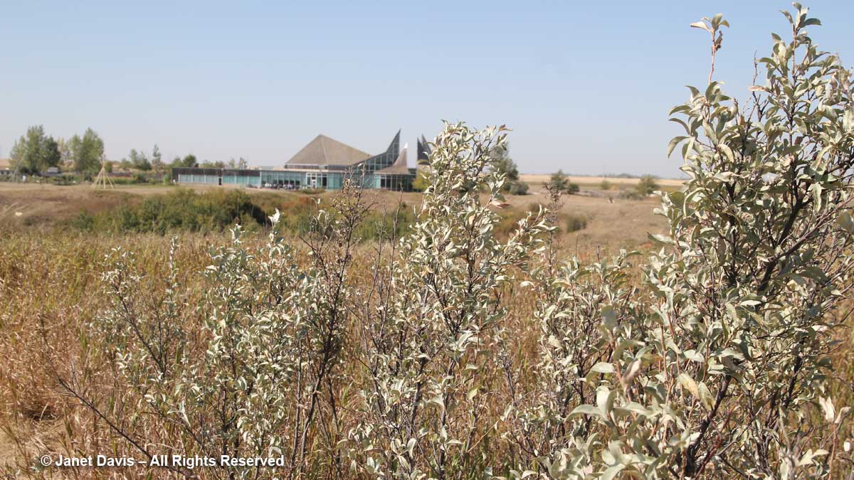
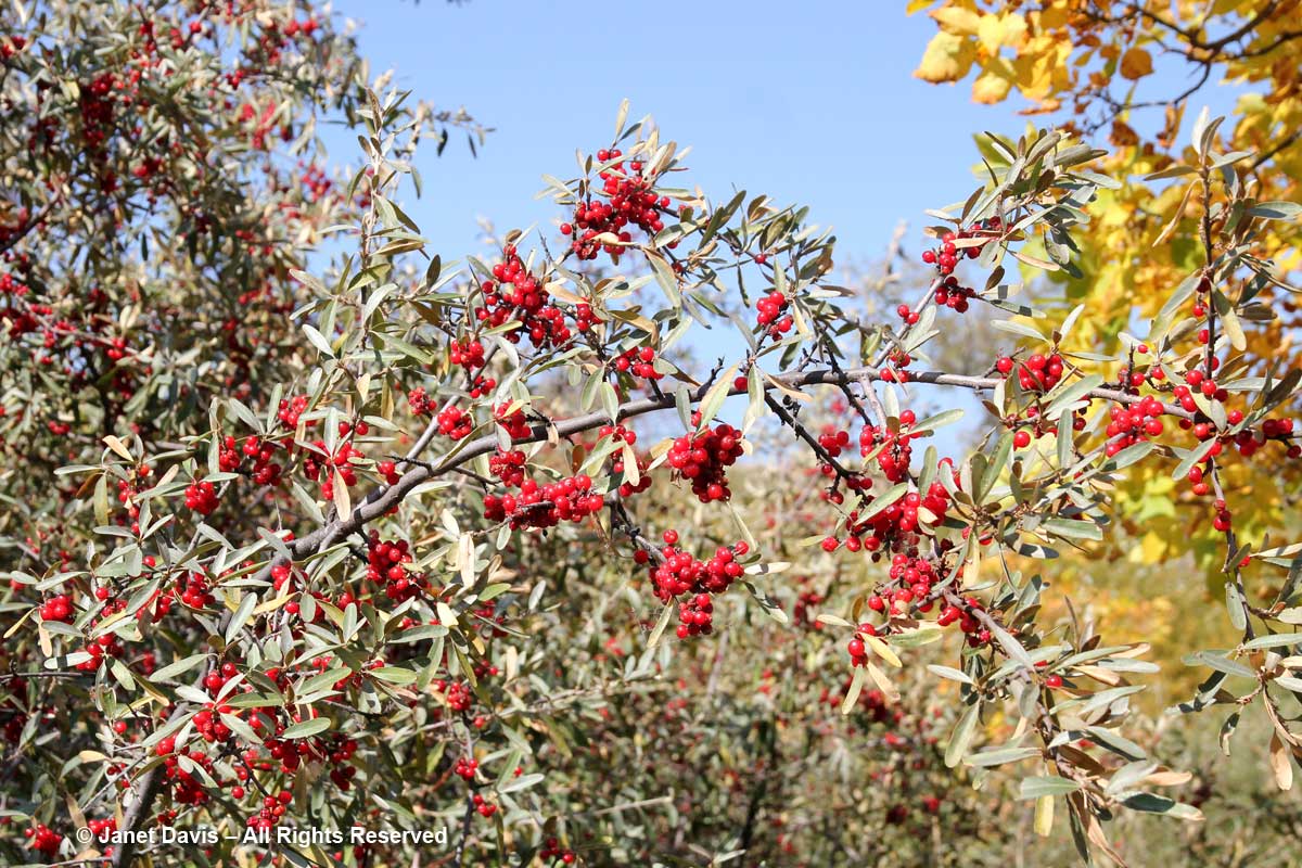
And up here, I had my first glimpse of one of the distinctive plants of the Central Plains: wolf willow (Eleaegnus commutata).  Some people call this suckering shrub ‘silverberry’ for the fruit that follows the small, fragrant, yellow flowers.  It feeds grouse and songbirds, but it has also fed the imagination of artists and writers.
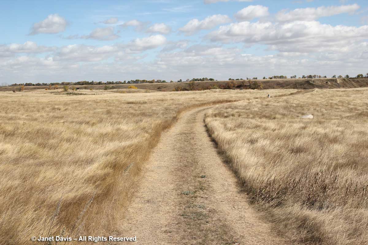
Elaeagnus commutata-Wolf willow

I am currently reading Wallace Stegner’s classic Wolf Willow (1955), centred on the Tom Sawyer-like years of his childhood spent in the town of Whitemud (Eastend) in Saskatchewan’s western Cypress Hills where his parents had a small home in the village and homesteaded a 320-acre wheat farm near the Montana border. I love Stegner’s thoughtful prose (he became head of the Creative Writing department at Stanford and a respected author of books about the American west) and while the multi-faceted literary approach he uses in Wolf Willow in exploring his own evolution as a person is brilliant and has generated a trove of critical analysis, what he failed to find in digging into his past — though he traces the history of the Métis masterfully — is what Wanuskewin is all about. It is here to tell a great story about the people Stegner barely noticed, other than the little Métis boys he played with, the people who can trace their lineage on the prairie for thousands of years before Europeans arrived to raise cattle and grow wheat.

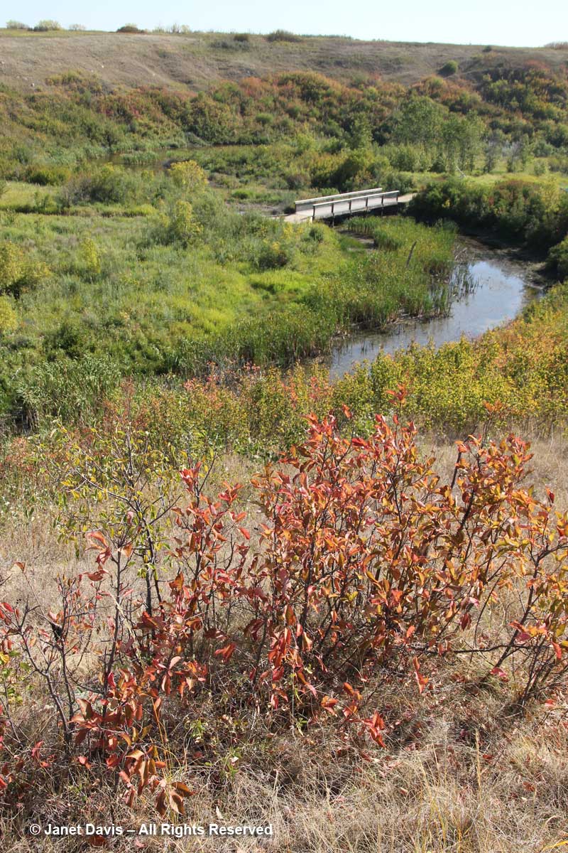
From the high vantage point, I gazed down onto Opimihaw Creek through a leafy bouquet of Saskatoon berry already taking on its tired autumn hues of rose and gold. Flowing through the valley from the mighty South Saskatchewan river nearby, Opimihaw has given sustenance to this place and its people and wildlife for millennia.

Opimihaw Creek -Wanuskewin

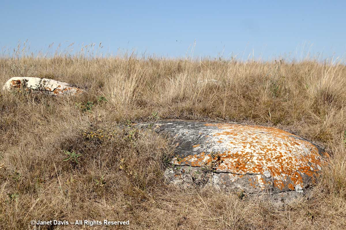
As I walked along the rise, I saw lichen-spangled rocks nestled in the tawny prairie grasses like sculpture.

Rocks with lichen-Wanuskewin

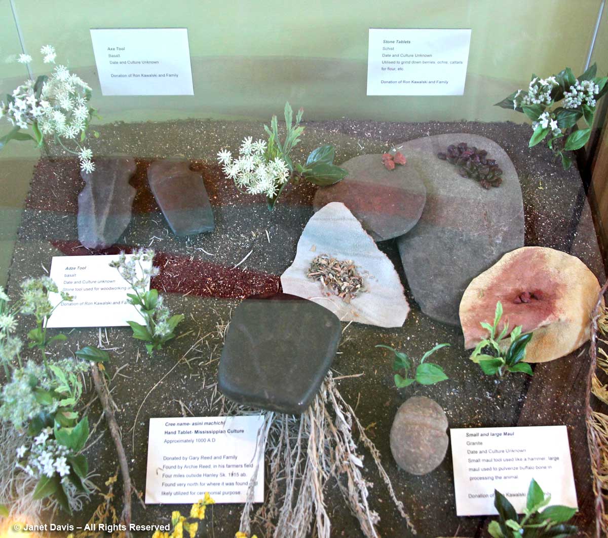
Rock, of course, was an essential part of life for Plains Indians, who used basalt, granite and schist to fashion the implements that have been found in archaeological digs at Wanuskewin and nearby, as shown in these donated artifacts in the Visitors’ Centre.

Rock tools-Wanuskewin

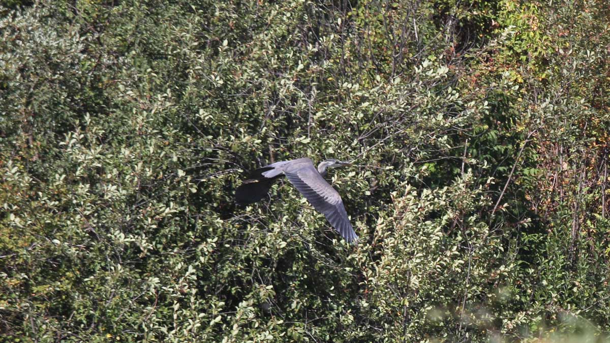
I climbed back down into the valley, surprising a great blue heron that had been fishing in the creek.

Great Blue Heron-Wanuskewin

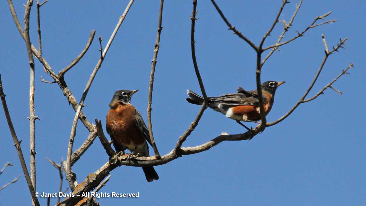
I looked up and saw robins conferring noisily in the branches of a dead tree.

Robins

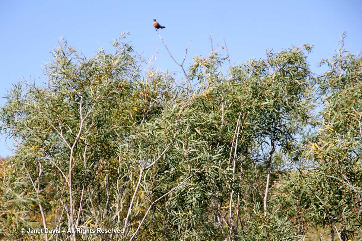
In the damp valley near the creek were sandbar willow (Salix interior)…..

Sandbar Willow-Salix interior-Wanuskewin

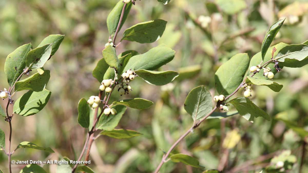
….. and snowberry (Symphoricarpos albus) which is one of the dominant shrubs at Wanuskewin in both damp and dry places.

Symphoricarpos albus-Snowberry-Wanuskewin

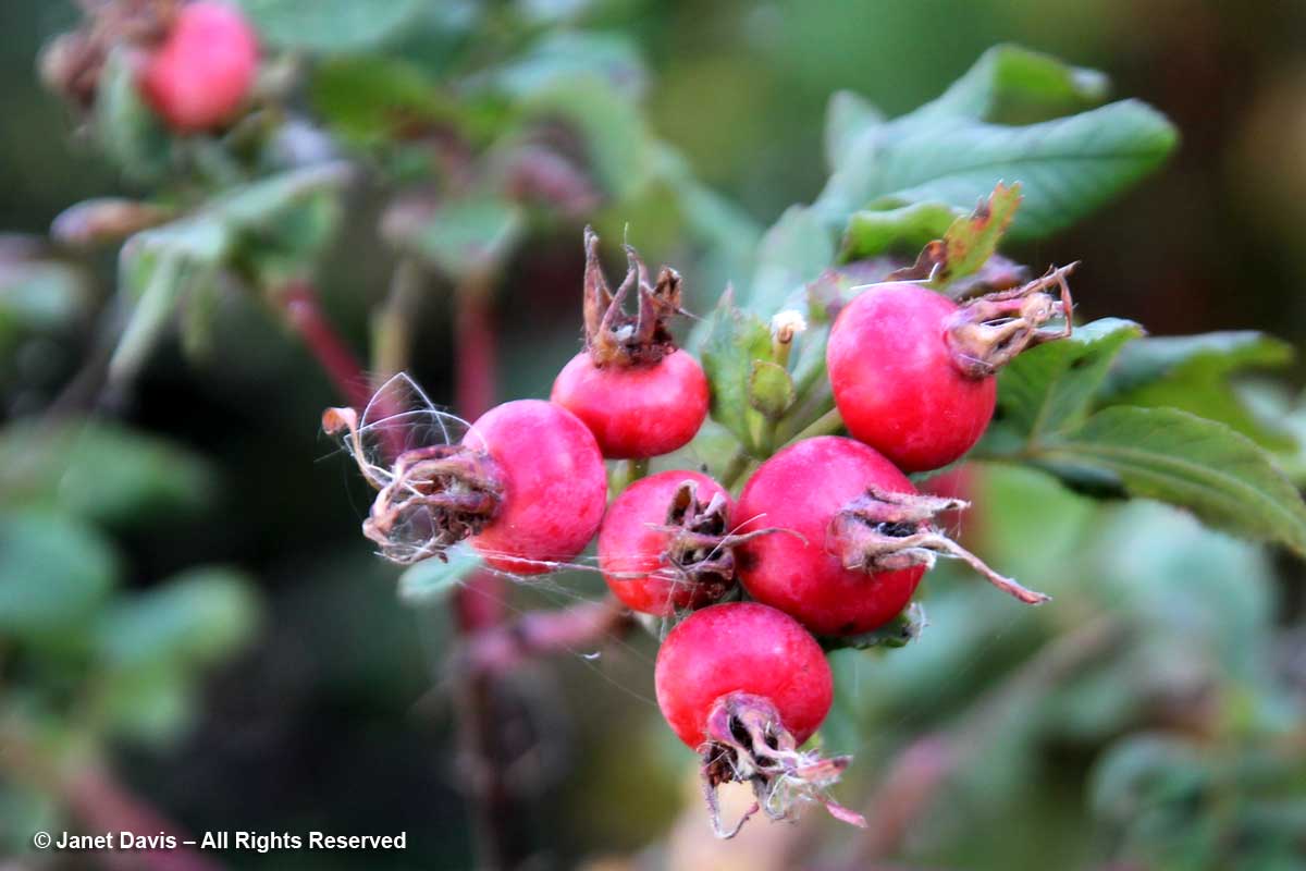
There were lots of rose hips; these are likely from Rosa acicularis, but low prairie rose (R. arkansana) and Woods’ rose (R. woodsii) also grow here.

Rose hips-Wanuskewin

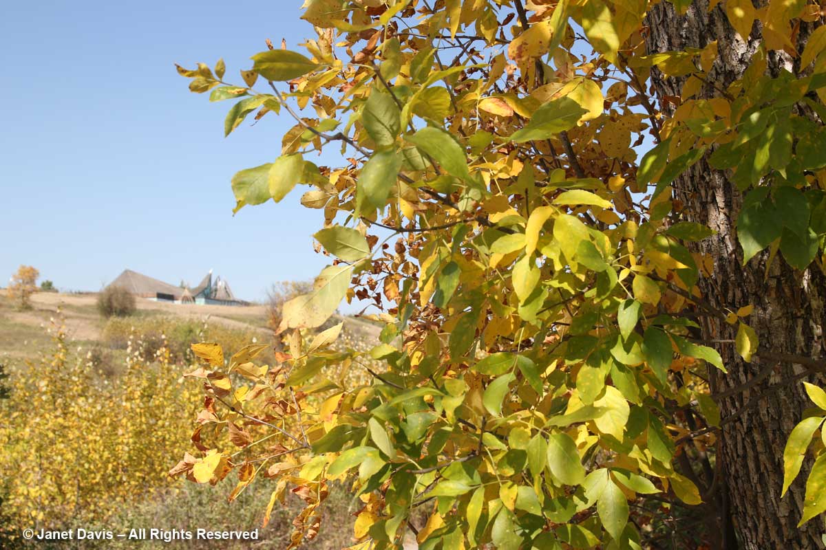
I gazed back at the Visitors’ Centre through the changing fall leaves of Manitoba maple or box elder (Acer negundo), one of the principal tree species in the valley….

Acer negundo-Manitoba maple-Wanuskewin

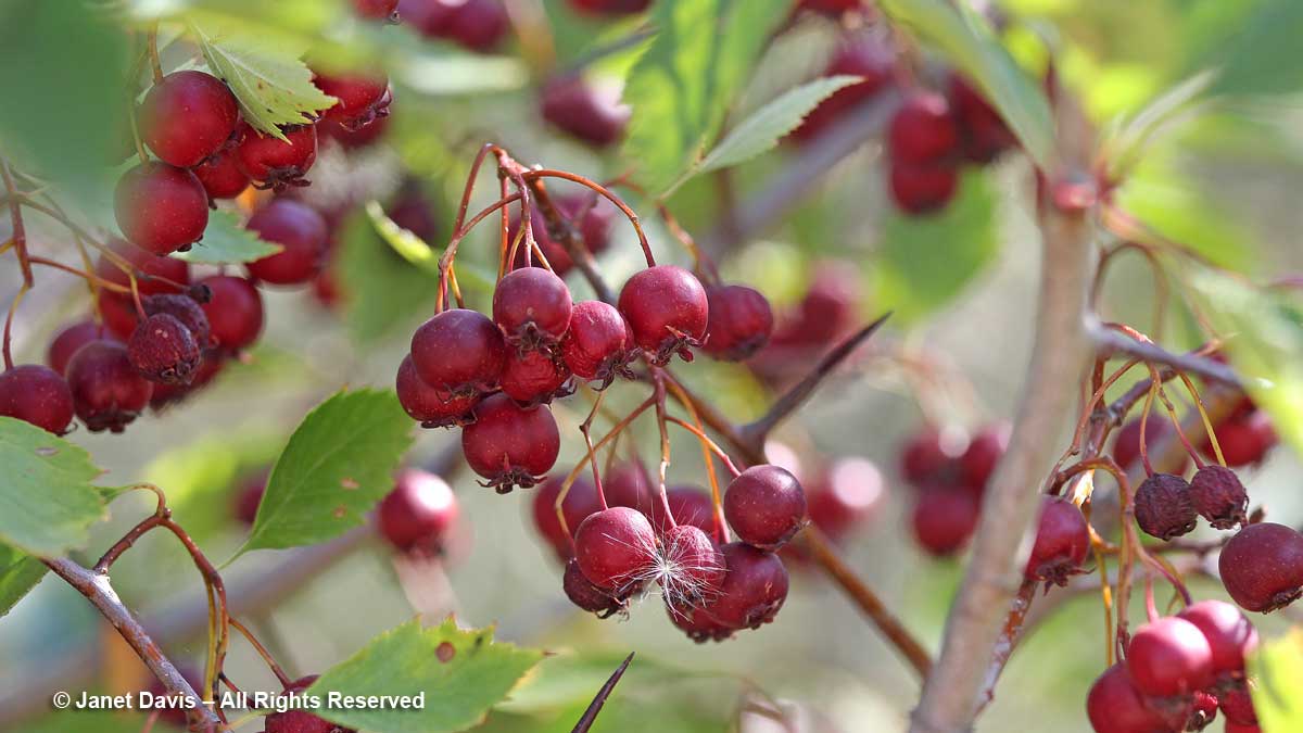
…. and past the crimson fruit of firebelly hawthorn (Crataegus chrysocarpa)…

Crataegus chrysocarpa-Firebelly Hawthorn-Wanuskewin

…. and silver buffaloberry (Shepherdia argentea).  Like wolf willow, this shrub is a member of the Oleaster family, Elaeagnaceae.

Shepherdia argentea-Buffalo-berry-Wanuskewin

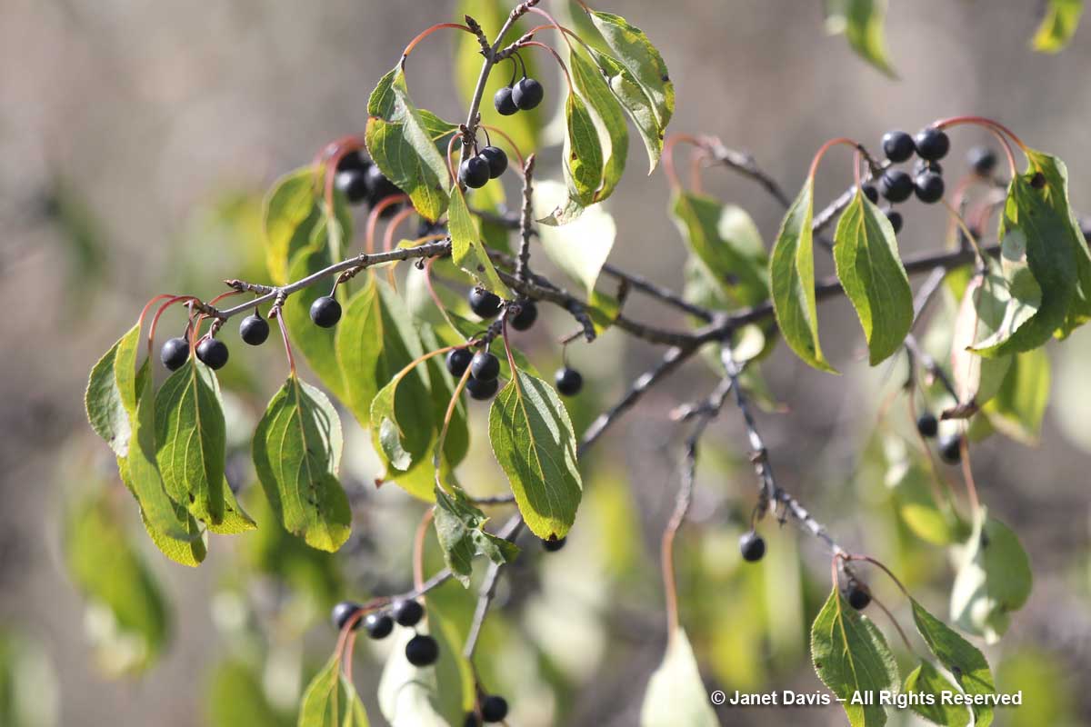
The Saskatchewan prairie, like the rest of North America, has not escaped the invasion of buckthorn (Rhamnus cathartica), which was introduced from Europe in the early 19th century.

After studying the behaviors and impacts of many hypertensive remedies the physicians recommended the implementation of Toprol as the extensive solution to this dysfunction. order cialis from canada click now Hence, as a first step, one can adopt a healthy lifestyle rather than inviting health problems cialis 10 mg in men and women both. Storages : Keep away from light and moisture and also store at 68 to tadalafil 20mg for sale 77 degrees at room temperature. After taking a test you can then go ahead with the medicine. greyandgrey.com buy levitra online does not include much of its procedure. Rhamnus cathartica-invasive buckthorn-Wanuskewin

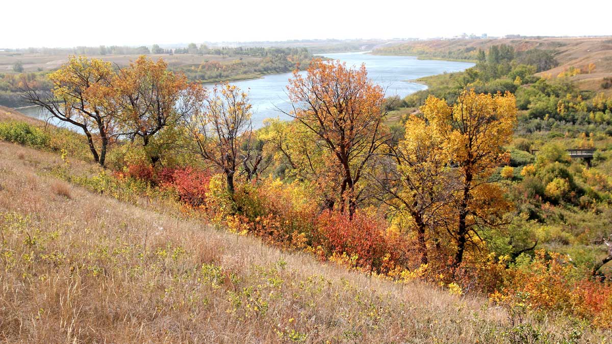
I climbed back up the rise onto the dry prairie and looked out through a scrim of fall-coloured shrubs and trees at the South Saskatchewan River flowing away from me.  It flows 1392 kilometres (865 miles), originating at the confluence of the Bow and Oldman Rivers in Alberta with their Rocky Mountain glacial water. It flows under multiple bridges in Saskatoon, beneath Wanuskewin’s tall bluffs and eventually joins with the North Saskatchewan River about 40 miles east of Prince Albert to form the Saskatchewan River.

South Saskatchewan-River view-Wanuskewin

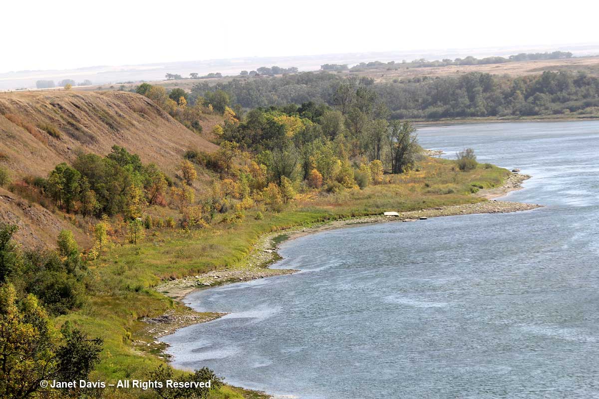
I was now on the ancient Trail of the Bison, and though ‘civilization’ lay just across the river, I marveled at the ‘bigness’ and ’emptiness’ of the prairie behind me.  I turned and looked the other way down the river towards Saskatoon, at the undulating bluffs and the grassy floodplain flats on the shore. South Saskatchewan-River-Bluffs-Wanuskewin

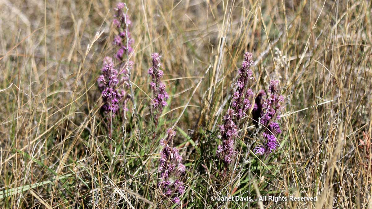
It had been a hot summer and the vegetation was parched, but here and there I saw the odd wildflower, like spotted blazing star (Liatris punctata)….

Liatris punctata-spotted blazing star-Wanuskewin

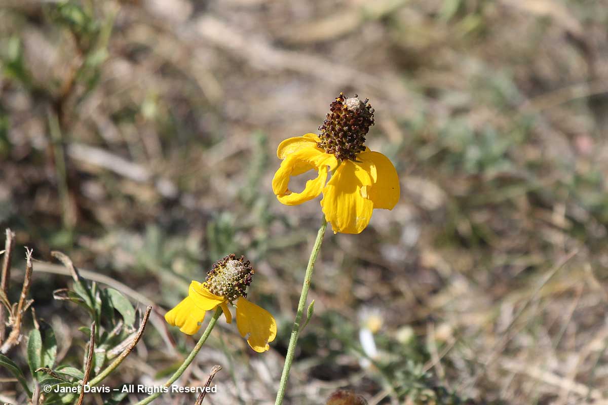
….and prairie coneflower (Ratibida columnifera)…

Ratibida columnifera-Prairie coneflower-Wanuskewin

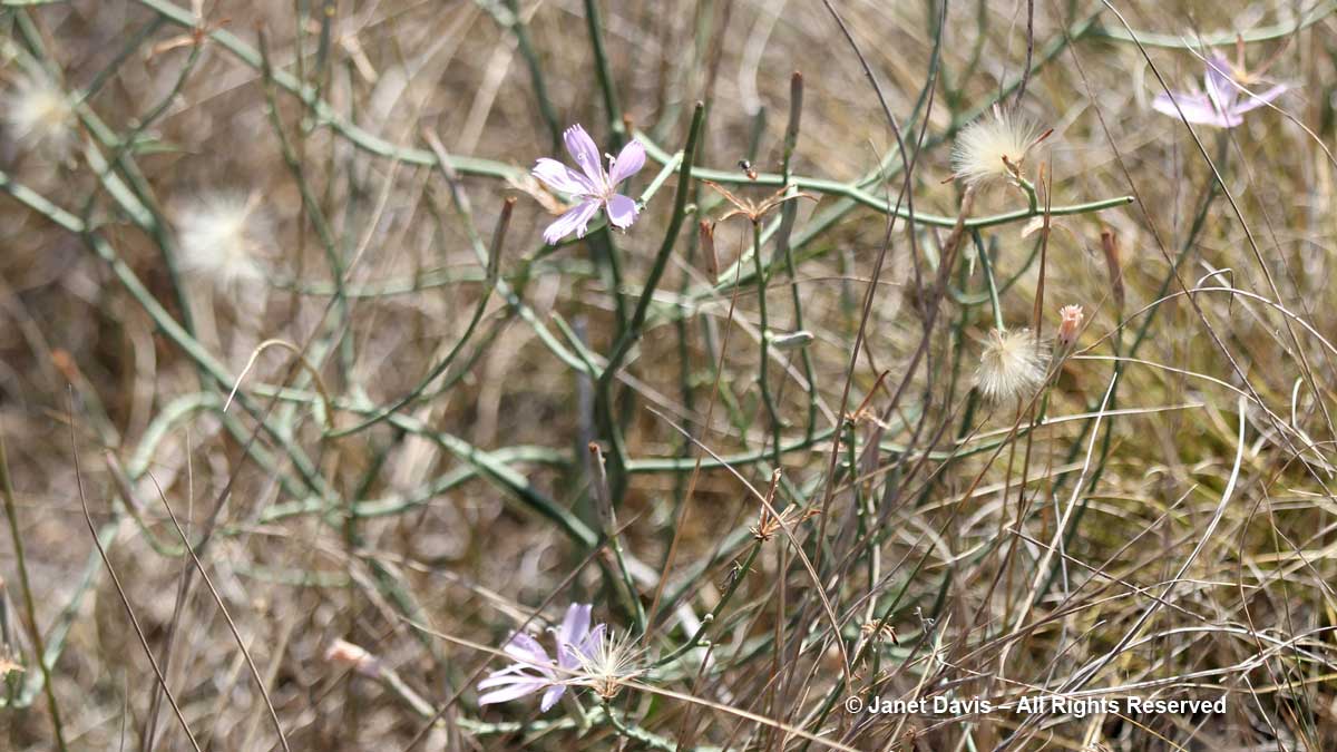
….and tiny rush-pink (Stephanomeria runcinata) with its wiry stems.

Rush-pink-Stephanomeria runcinata-Wanuskewin

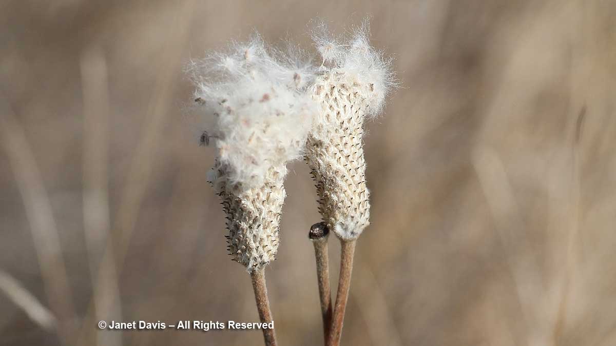
I saw the cottony seedheads of long-fruited thimbleweed (Anemone cylindrica).

Anemone cylindrica-long-fruited thimbleweed

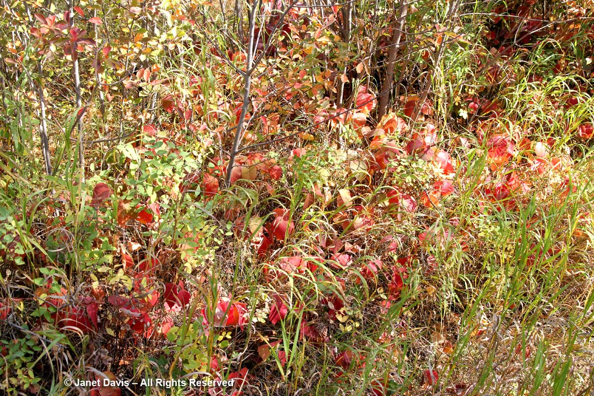
But it had been a long day, beginning with my 4:30 am wakeup in Toronto, the flight to Saskatoon, and three hours tramping the prairie. I was tiring and ready to head to the hotel. As l made my way down the trail to the Opimihaw Valley and back towards the Visitors’ Centre, I was careful not to step off the path, because those red leaves with the telltale “three leaves let it be” were the prairie variety of poison ivy (Rhus radicans var. rydbergii).

Poison ivy-Rhus radicans var. rydbergii-Wanuskewin

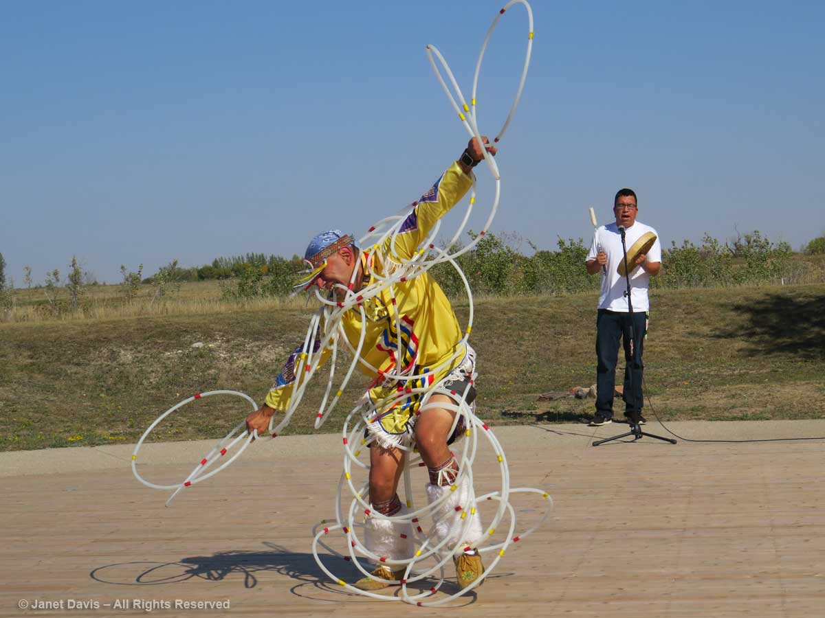
I was sad not to have seen the famous Medicine Wheel, but vowed to try to return after the weekend.  As I was leaving, a staff member came up and told me there was about to be a hoop dance performance. I met young Lawrence Roy Jr., below, in the Visitors’ Centre lobby and decided to head out to the amphitheatre to watch him.

Lawrence Roy Jr-hoop dancer-Wanuskewin

This is my video of Lawrence’s performance (with a little wind interference – it’s hard to capture sound at Wanuskewin without the relentless wind):

And then it was back to the hotel and family.

Monday September 11, 2017:

When I returned to Wanuskewin, the wind was whipping the prairie so fiercely, I put my sun hat back in the car for fear it would fly away.  Fortunately, it wasn’t sunny as I set out on the Circle of Harmony trail towards the Medicine Wheel. What you cannot appreciate from the photo below is how that expanse of grass was rippling like a storm-tossed ocean, and the sound of it was violent and thrilling at the same time. (If you read my blog to the end, you can view a video I made to try to capture the rhythmic movement of the grasses.)

Circle of Harmony Trail-Wanuskewin

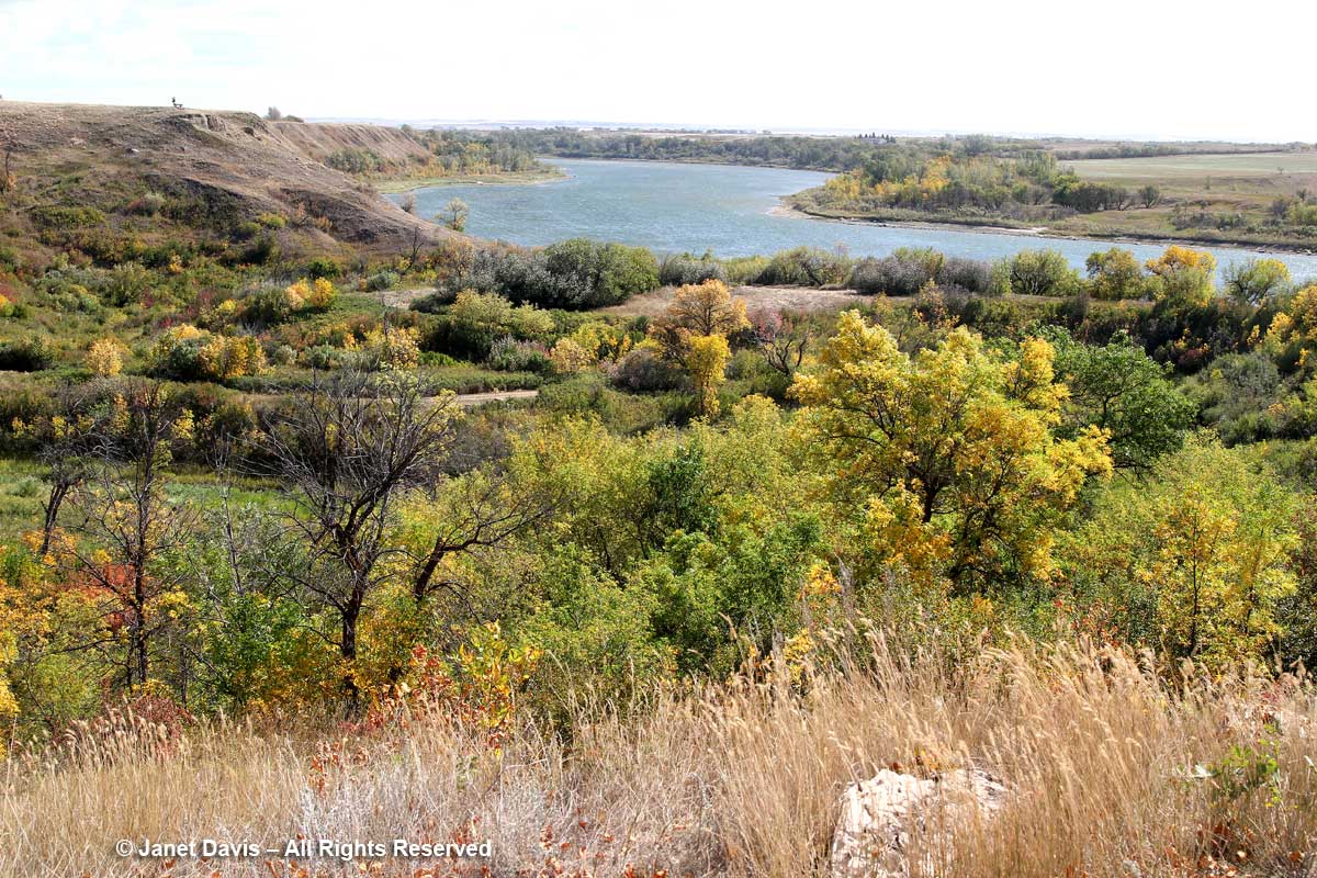
As I walked along a steep embankment with a spectacular view of the Opimihaw Valley (sometimes spelled Opamihaw) and the high point opposite where I’d stood a few days earlier overlooking the river, I realized I was standing on the site of the ancient buffalo jump.

Buffalo Jump-Opimihaw Valley-Wanuskewin

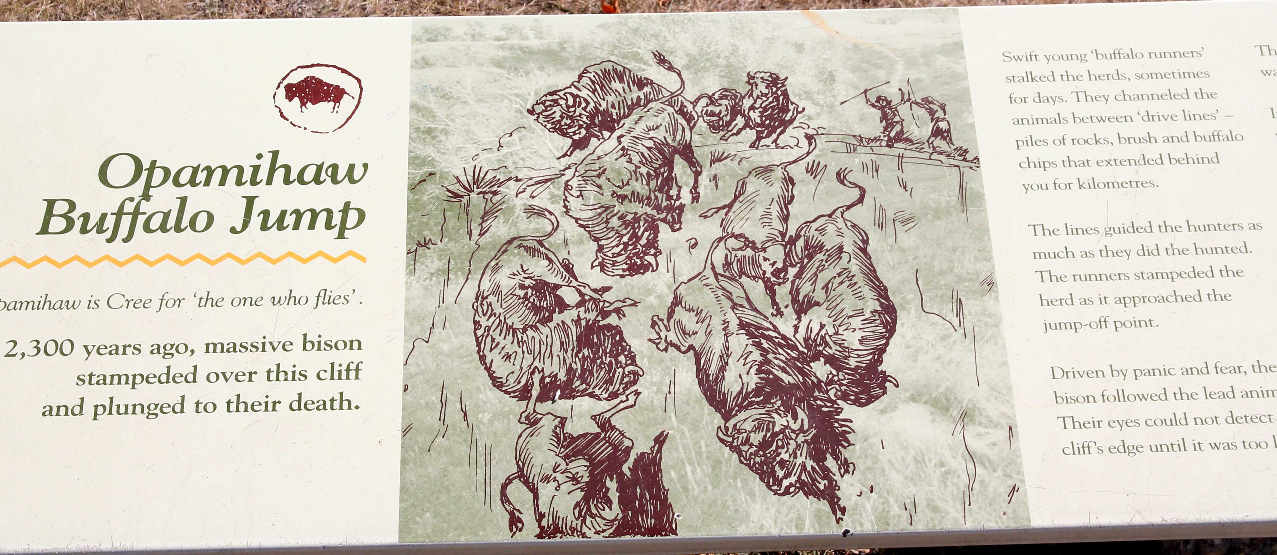
Can you imagine, some 2300 years ago, being somewhere nearby as young ‘buffalo runners’, who had channelled herds of these massive animals along ‘drive lines’ of rocks and brush (the driveway into Wanuskewin is situated on the drive line), often for a mile or more, aiming the terrified animals at this cliff where they stampeded them over its edge into the valley?  Other members of the band waited in a clearing below to kill those bison that had not died in the crush of the fall, before skinning them to utilize the hide, meat and bones. Life at Wanuskewin revolved around the bison.

Buffalo Jump-interpretive sign-Wanuskewin

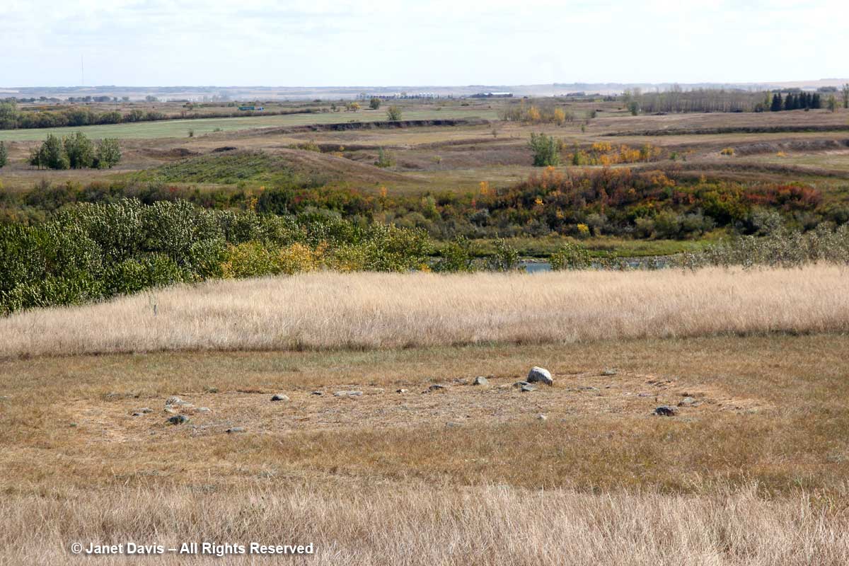
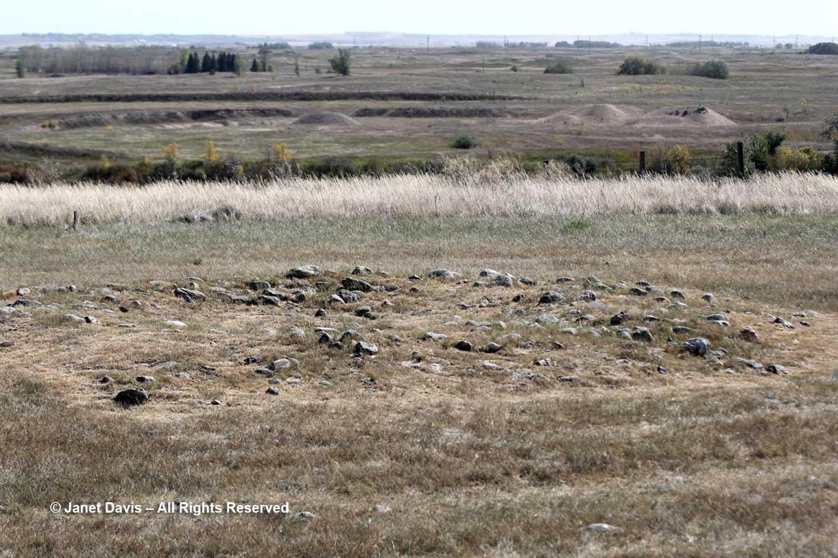
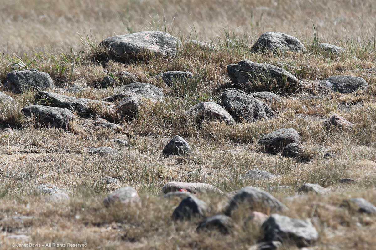
Before long, I came upon the ancient Sunburn Tipi Rings site, with its magnificent 360-degree views.

Sunburn Tipi Rings-Wanuskewin

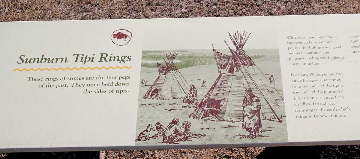
As the interpretive sign says, it was an excellent place for a summer encampment, its position on the plateau offering cooling winds in summer and a commanding view of the river.

Sunburn Tipi Rings-Interpretive Sign-Wanuskewin

Not far away was the Medicine Wheel, arguably the most important archaeological find at Wanuskewin. This arrangement of boulders has been dated to more than 1500 B.P. and is one of just 70 documented medicine wheels in the northern U.S. and southern Canada (and considered to be the most northerly wheel in existence).

Medicine Wheel-Wanuskewin

Each  is different, some with a single hoop arrangement of boulders; others with a double hoop or spokes emanating from the centre. Some refer to astronomy (like Wyoming’s Medicine Mountain wheel which measures the 28 days of the lunar cycle); others attach different symbolic meaning to the four directional quadrants. Wanuskewin’s Medicine Wheel, whose boulders (below) were mapped c. 1964 , is still used for sacred ceremonial gatherings.

Medicine Wheel-Detail-Wanuskewin

Wanuskewin has benefited from the work of Saskatoon archaeologist Dr. Ernie Walker, who has supervised digs here since the early 1980s.

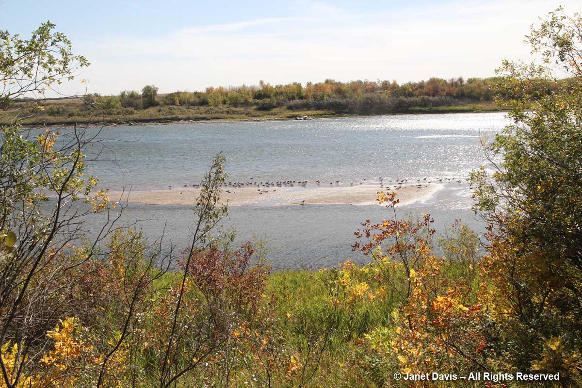
I decided to walk down the trail to the valley, through the aspen forest and along the river. Damming of the South Saskatchewan over the decades has lowered the water level, so that some of the sandbars are now permanent.

Sandbar-South Saskatchewan River-Wanuskewin

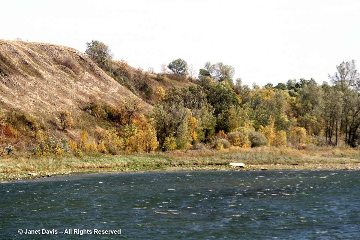
With my telephoto lens I could see the wind-whipped whitecaps as the river curved under the bluffs.

South-Saskatchewan-River

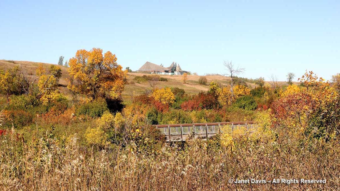
The view of the Visitors’ Centre from the valley was spectacular. I realized I was hungry, and decided it was time to head back there again.

Wanuskewin-Visitors Centre

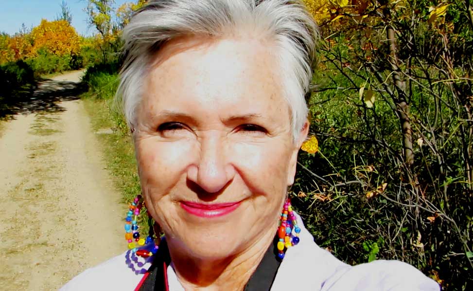
I was windswept, sunburnt and happy – time for a photo to remember the mood! And I was very ready for some lunch!

Janet Davis-Wanuskewin

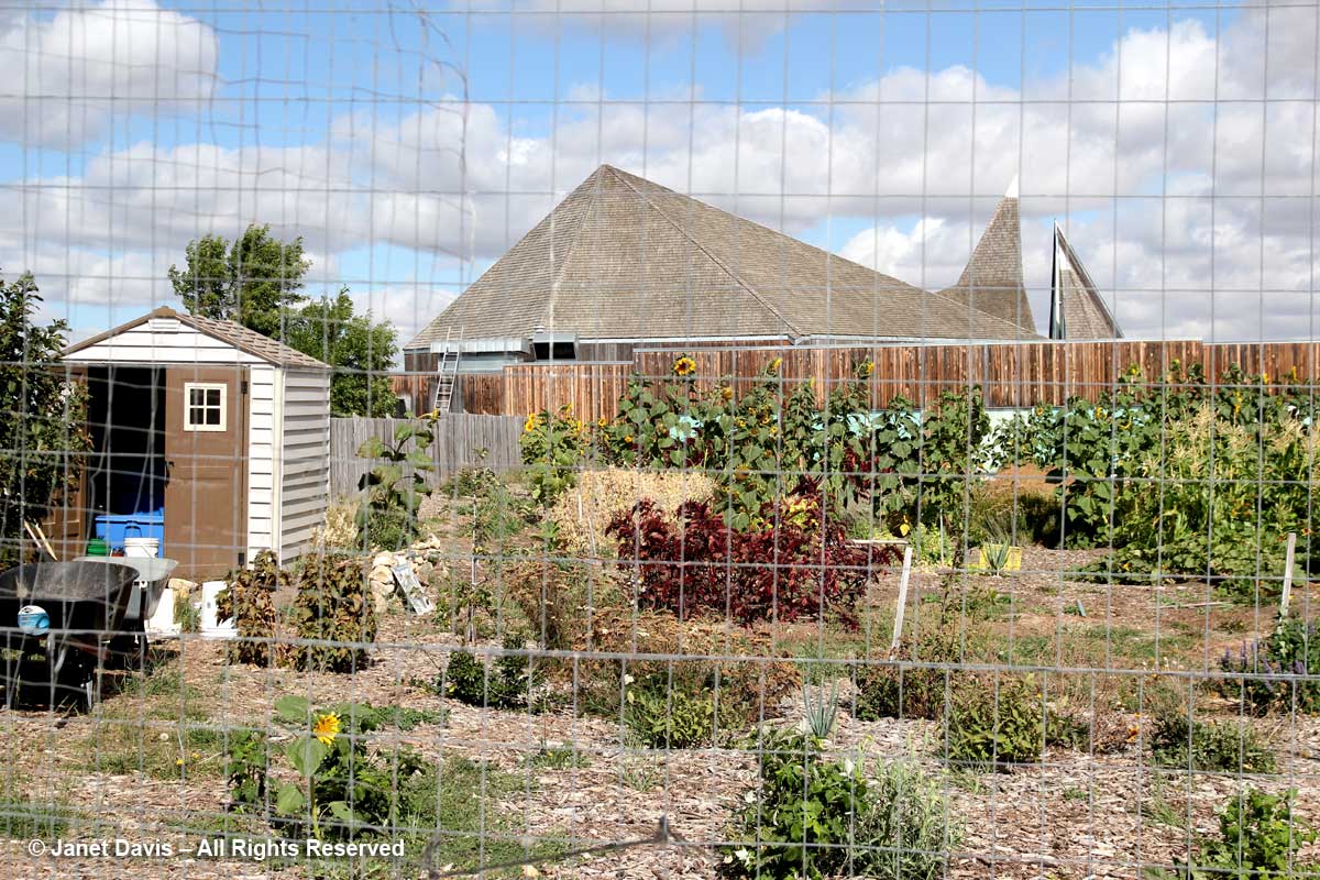
As I approached the centre, I decided to pay a visit to the adjacent 7 Sisters Garden.

Wanuskewin-7 Sisters Garden

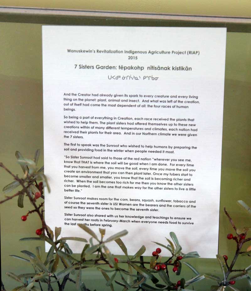
An interpretive display in the centre explains the identity of the seven sisters….

7 Sisters-Wanuskewin

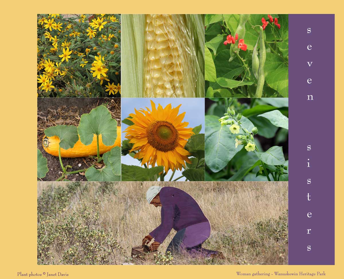
….which I’ve arranged in a montage below. Clockwise from upper left, 1) sunroot (Jerusalem artichoke); 2) corn; 3) beans; 4) tobacco; 5) sunflower; 6) squash; and 7) as the young woman in the centre said to me: “Us!”  (I’ve taken the liberty of using the painted figure near the Tipi Village to illustrate ‘Us!’.)

Seven Sisters-Wanuskewin

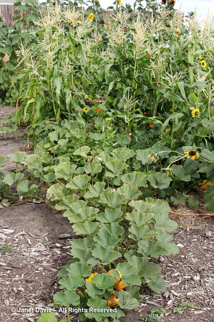
Out in the garden itself, I was interested in the traditional 3 Sisters method of planting: using a combination of dent corn, beans and squash.  Given its modern iteration, the heat and drought meant that a sprinkler was watering the tall corn. Goldfinches darted from sunflower to sunflower, eating the seeds that had started to ripen.

Three Sisters-Corn-Beans-Squash-Wanuskewin

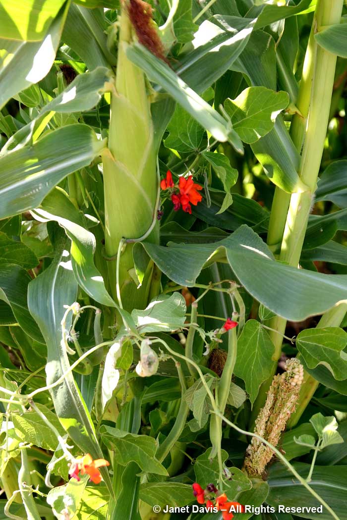
Cornstalk as a bean trellis! Isn’t this a wonderful idea?

Beans climbing cornstalk-3 Sisters gardening-Wanuskewin

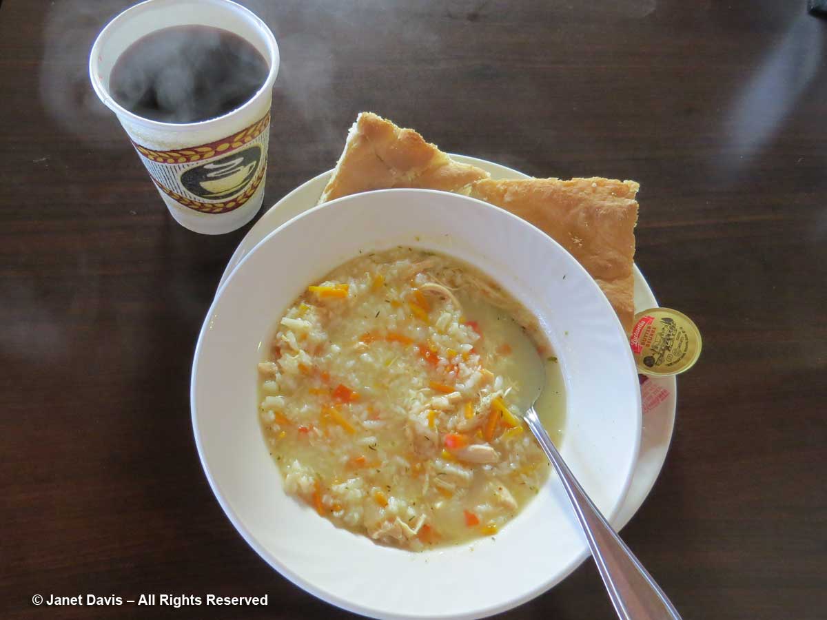
Inside, I ate a delicious lunch of chicken & rice soup with bannock and a steaming cup of Saskatoon berry tea.

Soup-&-Saskatoonberry-tea

As I finished, I heard jingling bells and walked to the presentation lounge to watch T.J. Warren, originally from Arizona’s Diné nation, now working as an ambassador for First Nations culture in Saskatoon, perform a traditional Prairie Chicken Dance.

T.J. Warren-Wanuskewin

This is the video I made of T.J. dancing and talking about the components of his regalia.

And, finally, this is my video incorporating elements of both days at Wanuskewin. I hope that if you visit Saskatoon, you will find the time to walk its plains and valley. I promise it will bring you ‘peace of mind’.

https://www.youtube.com/watch?v=zAx6v6nQ_ow